Place
Challenging

If you like your desert hikes with a twist, Miller Creek delivers. This challenging out-and-back climbs from a surprisingly lush, creek-fed valley up into the Rincon foothills before topping out at Happy Valley Saddle. It’s about 7.7 miles total (out and back) with roughly 2,000 feet of gain, and it feels every bit of it. Expect solitude, varied terrain, and a big payoff in views near the top.
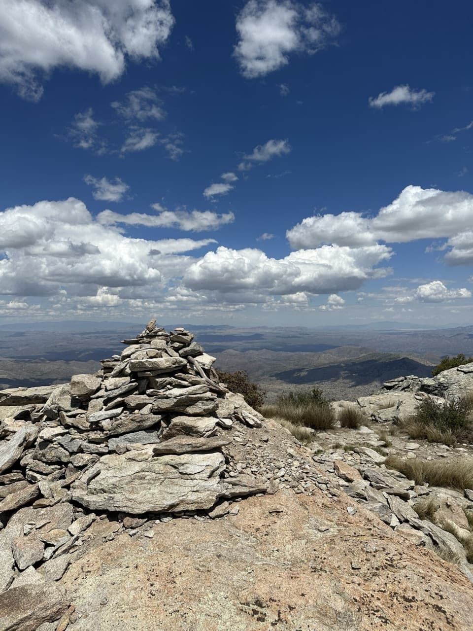
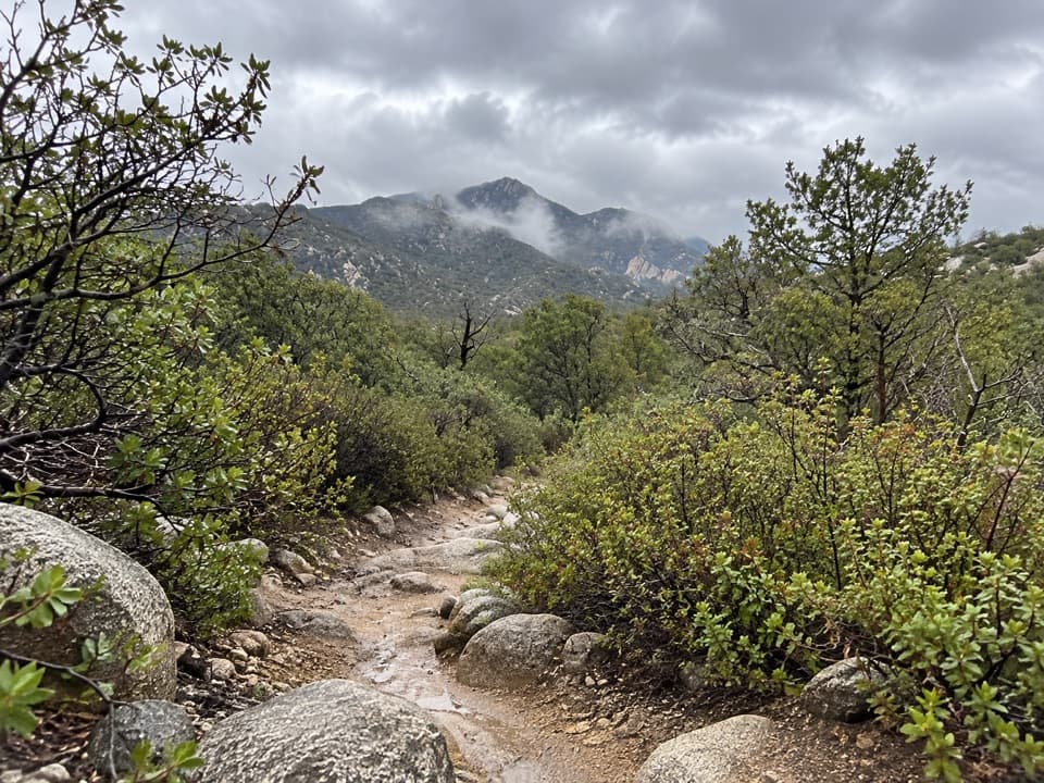
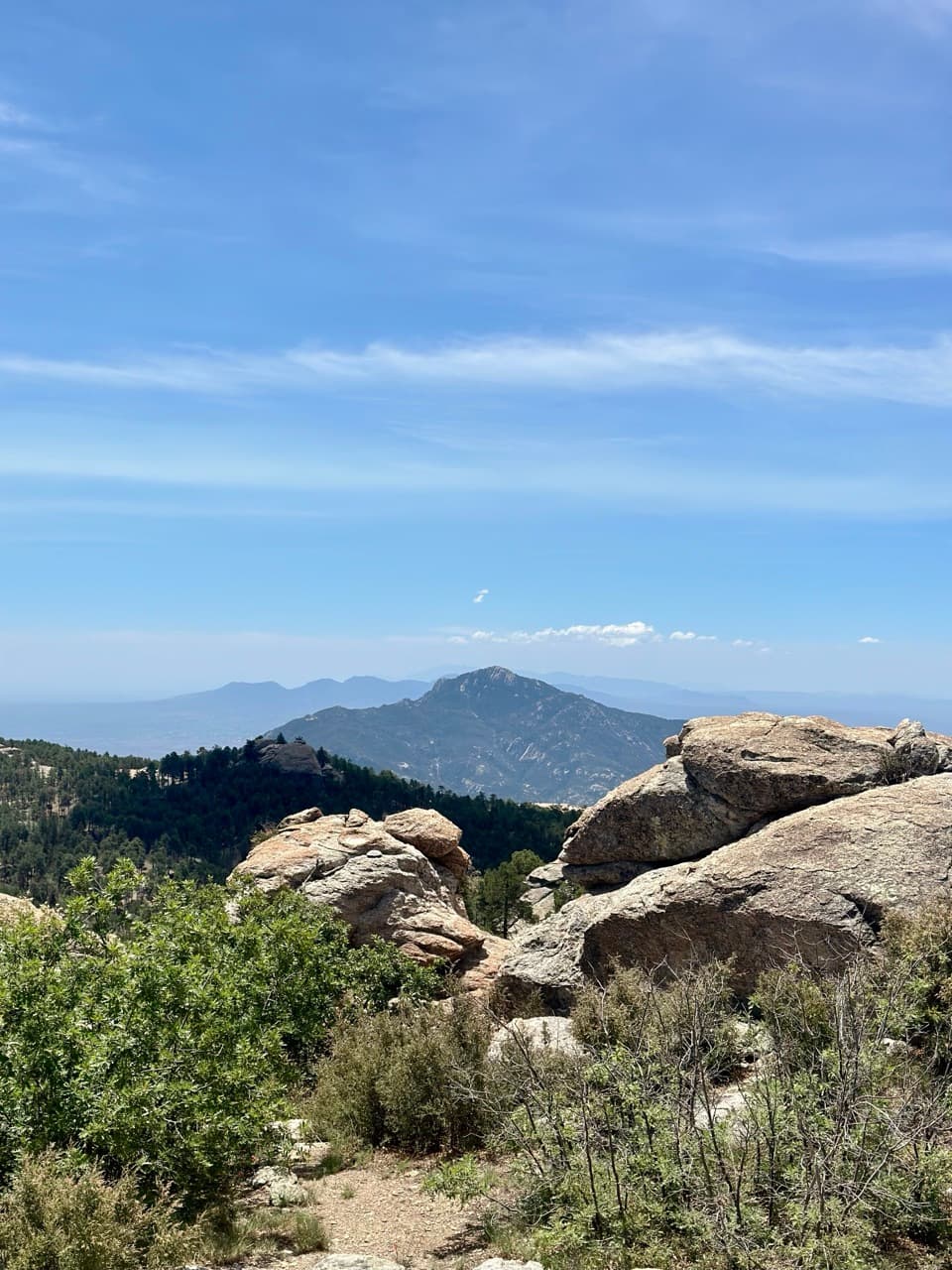
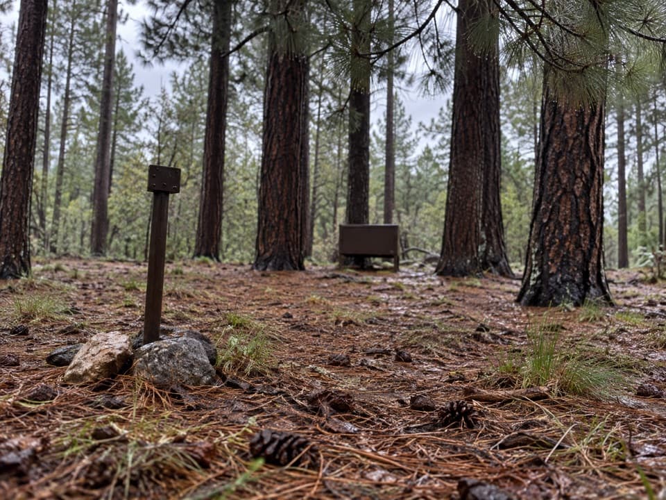
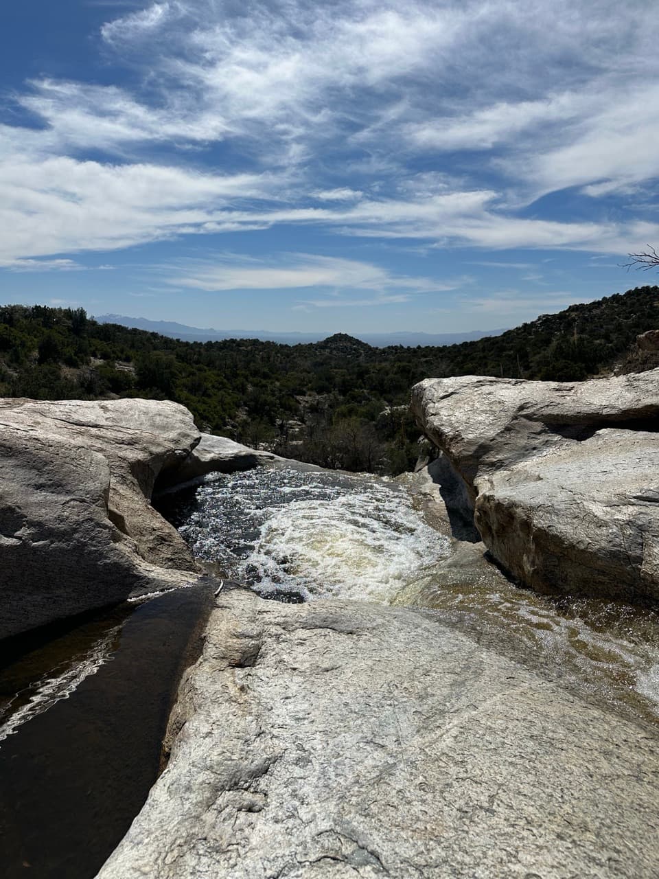
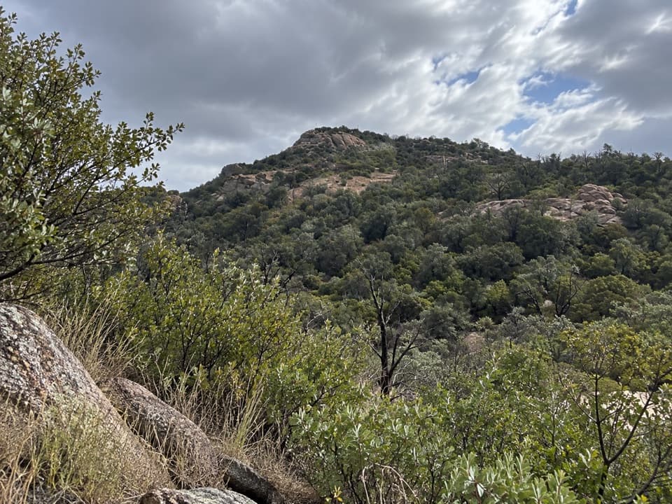
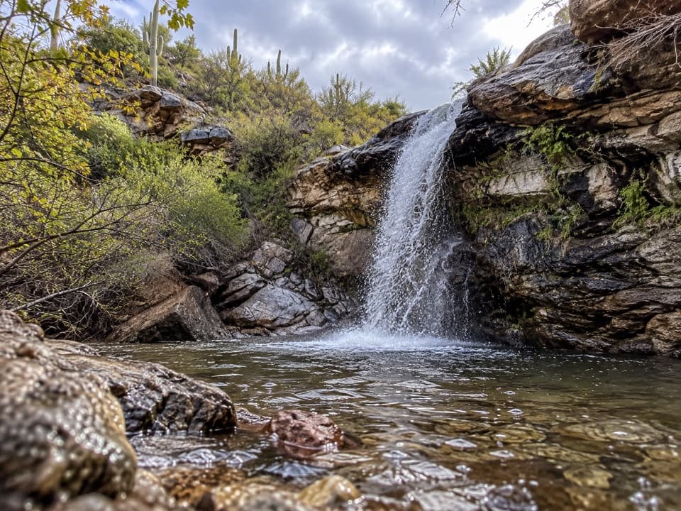
The first miles shadow Miller Creek through Happy Valley—cooler, greener, and more birdy than the classic Sonoran scrub. You’ll make several creek crossings that range from dry to splashy depending on recent weather. About 1.5 miles in, you pass a fence and enter the park proper; there’s usually a register here. From there, the trail steepens and gets rockier and bouldery, with cairns helping thread the best line as the views open wide over Happy Valley and the eastern Rincons. Turning into Miller Canyon, the vibe shifts to shaded, often-audible water and a pocket of tall forest that feels worlds away from the desert you started in. The official trail ends at Happy Valley Saddle, where you can catch your breath and the views.
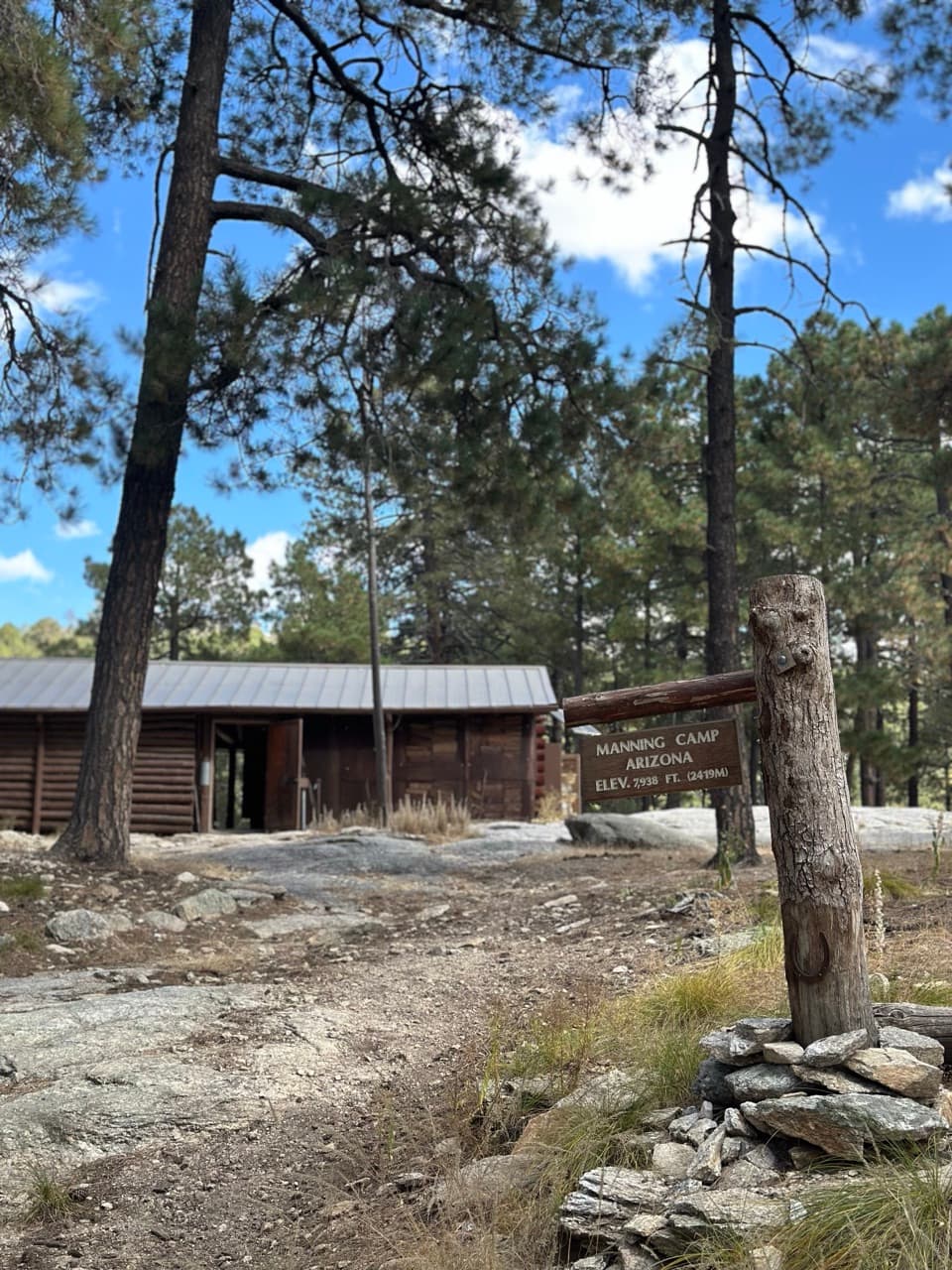
From the saddle, left heads toward Rincon Peak and right onto Heartbreak Ridge toward Manning Camp. If you’re feeling strong and conditions are favorable, Miller Creek is the shortest approach to Rincon Peak—but that turns your day into a very strenuous objective. Most hikers are plenty satisfied tagging the saddle and heading back.
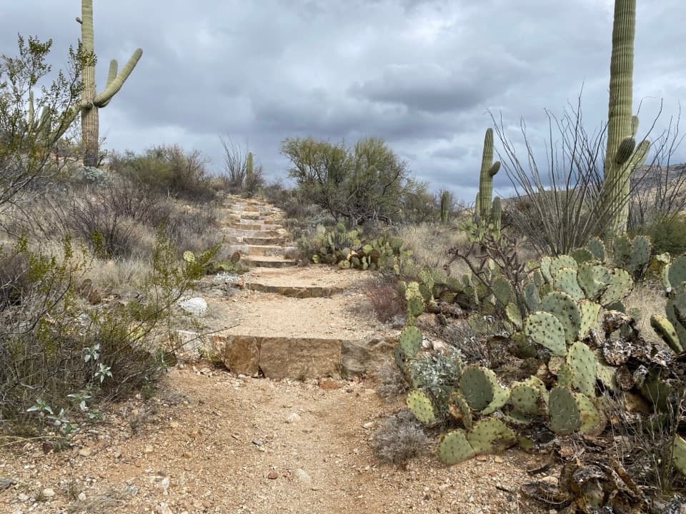
This route is “challenging” for good reason: sustained climbing, big stone steps, and some awkward footing on bouldery stretches. Cairns generally keep you honest, but a few spots can feel faint—if you lose the line, stop and scan for the next cairn rather than forging straight uphill. Water is seasonal and unreliable; don’t count on flowing creeks even if you hear them in lower sections. Heat is a real factor on the exposed lower miles, especially on the return.
Plan this one for cool months: late fall through spring. December–May sees the most comfortable conditions; autumn shoulder months are also excellent. Start early for cooler temps and softer light on the climb; the descent bakes in early afternoon sun. In winter, snow or ice can linger up high and make the rocky steps slick.
Reaching the trailhead is part of the adventure: exit I‑10 at J‑Six Ranch Rd/Mescal Rd and drive roughly 15 miles of dirt on N. Mescal Rd to the start. Seasonal creek crossings on the approach road can challenge low-clearance vehicles. Expect fencing and a signed route around a gate at the start—leave gates as you found them. There’s no fee station at the trailhead, but standard park entrance fees/passes still apply. Camping near the top (Happy Valley area) is by permit only; day hikers don’t need one.
Remote trailhead off N. Mescal Rd after ~15 miles of dirt; park near the gate/fence at the start. No fee station; follow signs around the fence and leave gates as you found them.
Heat and exposure on lower miles; seasonal creek crossings; steep, rocky, bouldery footing with occasional faint tread—follow cairns. Water is unreliable. Access road can be challenging after snowmelt. Leave gates as you found them.