Rincon Peak via Miller Creek Trail in Saguaro National Park

Saguaro National Park, AZ

Rincon Peak via Miller Creek Trail

Creekside shade gives way to cairned rock and a hands-on summit scramble.

Photo: National Park Service
Length
15.5mi
Time
11hr
Elev. change
4,134ft
Difficulty
Challenging
  • No dogs
  • High point 8,363 ft
  • #17 of 74 in Saguaro
Parkwolf audio tour43 stories across Saguaro’s roads

Overview

About Rincon Peak via Miller Creek Trail

Why go

  • A long climb through creekside habitat, forested saddle and summit rock.
  • Expansive views from the rocky summit.

Heads up

  • 15.5 miles and 4,250 feet of climbing make this a hard day.
  • Washed-out creek tread, cairn-marked rock and the final exposed scramble demand steady footing and route-finding.

Map & elevation

The route

Loading the Saguaro map
Full map
Elevation4,229–8,363 ft
TrailheadMiller Creek Trailhead32.15189, -110.48198
Keep this map with you offline in the Parkwolf app

Plan your hike

Before you go

Parking

Miller Creek Trailhead is a small dispersed camping area on Happy Valley Road in Coronado National Forest. From I-10, take Mescal Road north to the signed Miller Creek turn, then follow the short spur to the trailhead. The road is paved for the first two miles, then graded gravel with stream crossings. NPS strongly recommends high clearance or four-wheel drive; the Forest Service says passenger cars usually reach the start, so conditions matter, especially after heavy rain. Parking capacity and facilities at the trailhead were not found.

Safety

A long, steep backcountry route with rocky, sometimes hard-to-follow tread and an exposed, hands-on final scramble. Carry all drinking water; natural sources are seasonal and must be treated. Burned high-country ground can conceal unstable stump holes, slick ash or needles, and weakened trees. Dogs are prohibited on the Saguaro trail portion.

3 active Saguaro alerts

  • ClosureTucson Mountain District road closuresSeveral Tucson Mountain District roads are closed; follow posted closures and use McCain Loop to bypass the Kinney Road closure.Official details
  • CautionVehicle break-ins reported at trailheadsVehicle break-ins have occurred at King Canyon Trailhead and other park trailheads; secure your vehicle and valuables.Official details
See all 3 alerts
A park ranger sits on a dash-mounted phone, talking, as Parkwolf’s Tour Guide plays “Army Cutworm Moths: A Grizzly Bear Buffet” on Grand Loop Road below Dunraven Pass in Yellowstone
Parkwolf Tour GuideThe highest, rockiest slopes around here are a summer buffet for grizzly bears.

Saguaro Tour Guide

Your drive to Rincon Peak via Miller Creek Trail, narrated.

Parkwolf is a GPS audio tour guide for Saguaro National Park. As you drive, it chimes in with what’s ahead: hidden gems, upcoming stops, history, geology, and wildlife, right through your car’s speakers.

See the Saguaro audio tour
  • 43 audio storiesacross Saguaro’s roads, triggered by GPS as you drive
  • Wildlife heatmapsfor Black Bear, Mountain Lion, Mule Deer, and 13 more
  • Works offlinemaps, 74 trails, 40 places, and audio download before you lose signal
  • CarPlay readysimple controls built for the drive
★★★★★
“Fantastic app with many points of information… It’s great to just turn on while you’re driving and it gives you an audio tour of the national Park. We love it!!!!”
JMJamesApp Store review
Download Parkwolf on the App StoreGet Parkwolf on Google Play

4.7 from 8,600+ ratings

Trail guide

Hiking Rincon Peak via Miller Creek Trail

A full-day mountain out-and-backRincon Peak via Miller Creek Trail is a 15.

Rincon Peak via Miller Creek Trail is a 15.5-mile out-and-back from Miller Creek Trailhead to the 8,482-foot summit. The official district map gives 7.7 miles each way and about 4,250 feet of climbing. This is one of the park’s most rugged backcountry trips: creek crossings and a long rocky approach lead to a steep, exposed final scramble. The National Park Service recommends two days, with Happy Valley Saddle Campground about 4.6 miles into the route. For a single-day attempt, allow roughly 8–12 hours; this is a serious outing for hikers who are ready for a long climb, rough navigation and hands-on rock.

From creek to ridgeMiller Creek Trailhead is on Coronado National Forest land.

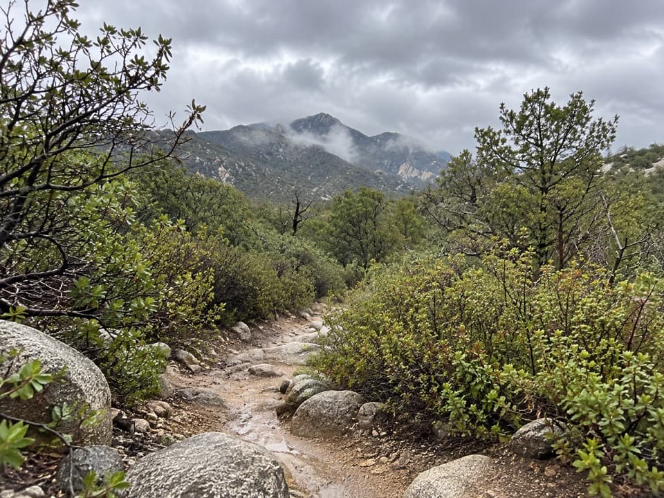
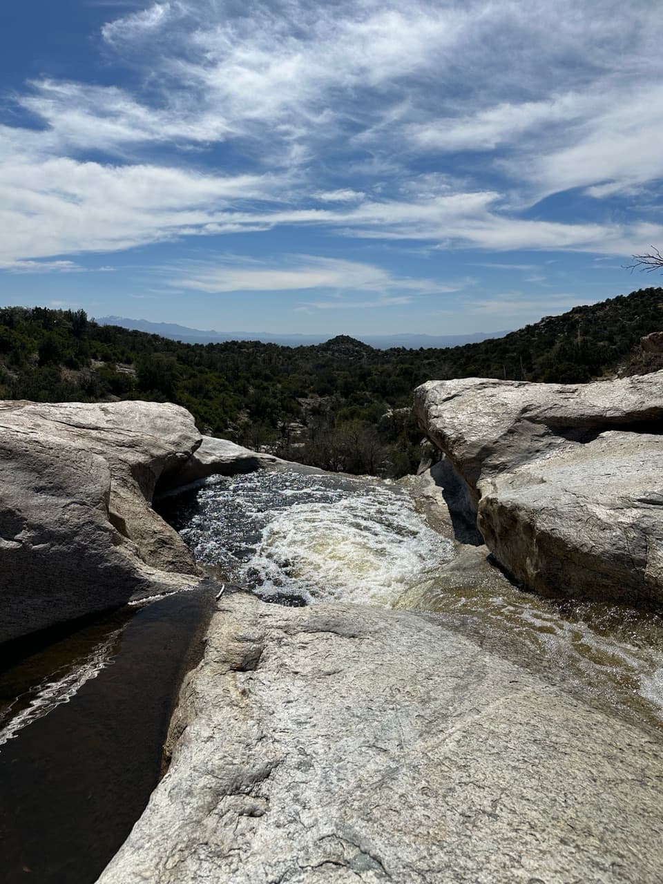
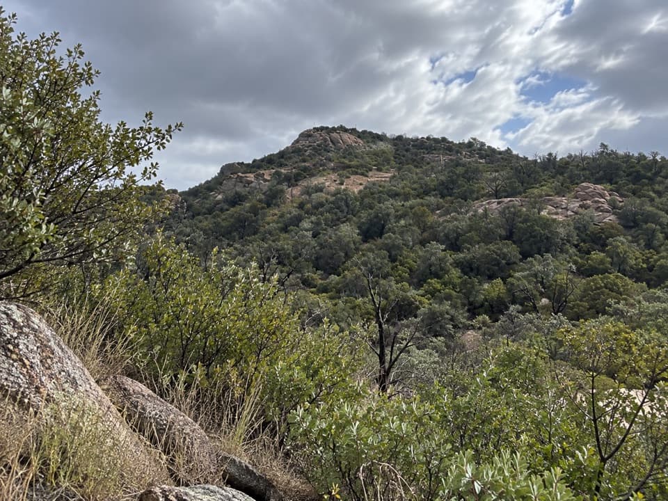
Miller Creek Trailhead is on Coronado National Forest land. The route enters Saguaro National Park after roughly 1.5 miles; the first three-quarters of a mile follows Miller Creek through riparian trees, with several crossings. Banks and tread have been washed out, so it can take a moment to pick up the path again after each crossing. Beyond the creek, the trail climbs the canyon’s north ridge over gravel, rock slabs and boulders. Cairns help at bare-rock crossings, but a tucked-away switchback is easy to miss. Shade thins as the route gains the ridge.

The saddle is a real breakThe long climb eventually enters a forested gully and reaches Happy Valley Saddle, where the…

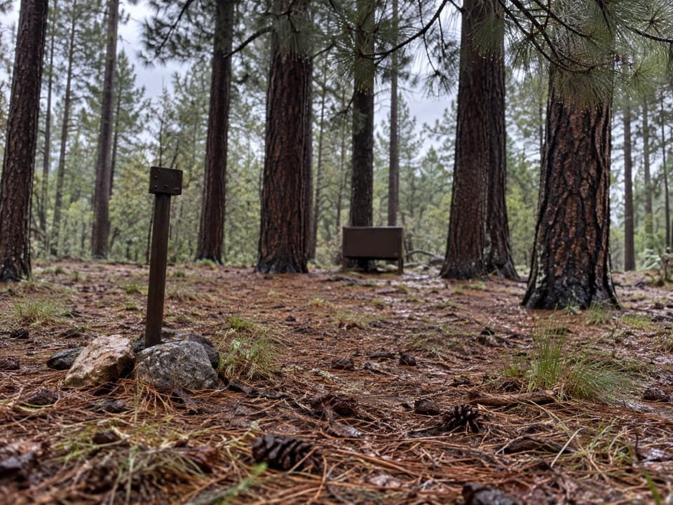
The long climb eventually enters a forested gully and reaches Happy Valley Saddle, where the view opens toward Rincon Peak. Happy Valley Saddle Campground lies along the route about 4.6 miles from the trailhead; it is the practical place to split the hike overnight, with an outhouse but no dependable water. Beyond the saddle, wooded tread and a short creekside stretch lead toward the Rincon Peak Trail junction. The change from creekside shade to exposed rock makes the approach feel like several hikes stitched together.

The final summit pushThe Rincon Peak Trail steepens toward the top.

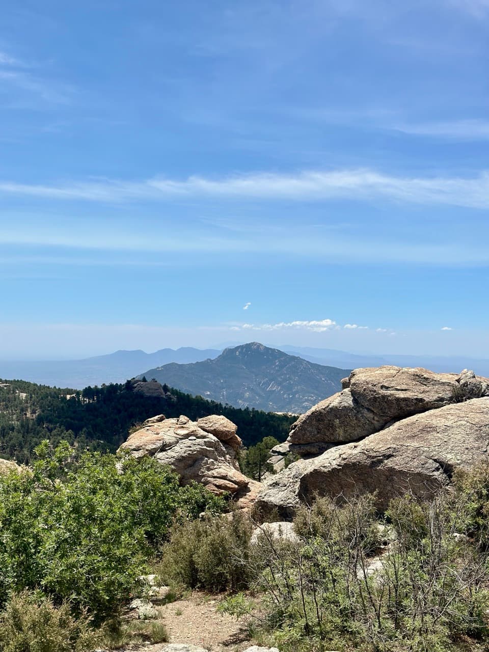
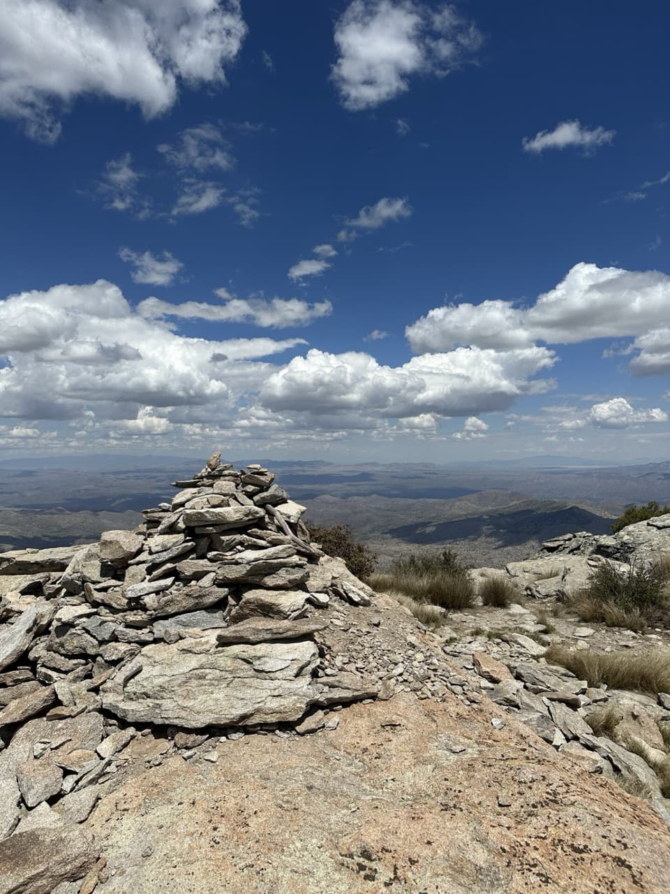
The Rincon Peak Trail steepens toward the top. One route report describes the last half-mile as roughly 800 feet of gain; the official map warns that the exposed final scramble involves hand-over-hand moves. Expect loose, uneven rock and use your hands where the route requires it. If steep exposed scrambling is outside your comfort zone, turn around before the summit push. The top has a register and several rocky viewpoints over the surrounding ridges and desert. Wind can be strong up there, and you will still have the full return walk.

Plan around water, rules and weatherThere is no potable water at the trailhead or on the route.

There is no potable water at the trailhead or on the route. Natural sources are seasonal and must be treated, so carry what you need rather than relying on a creek. Start early in hot weather and stay on the trail in the burned high country: unstable ground, concealed stump holes, slick needles or ash, and fire-weakened trees remain hazards, especially around rain. Pets are not allowed on Saguaro trails, so dogs cannot accompany this full route. Day hikes do not require a permit; overnight stays at designated wilderness campgrounds require advance planning and a fee.

Getting to the startThe trailhead is a small dispersed camping area on Happy Valley Road.

The trailhead is a small dispersed camping area on Happy Valley Road. From I-10, the Forest Service route is Mescal Road north to the signed Miller Creek turn, then a short spur to the trailhead. The access is paved for the first two miles and then graded gravel with stream crossings. Vehicle advice differs: the National Park Service strongly encourages high clearance or four-wheel drive, while the Forest Service says passenger cars usually reach the trailhead. Treat that as a condition-dependent road, especially after heavy rain; no formal lot size or parking capacity was found.

Two wilderness landscapesThe hike begins in Coronado National Forest and continues into Saguaro Wilderness, designated…

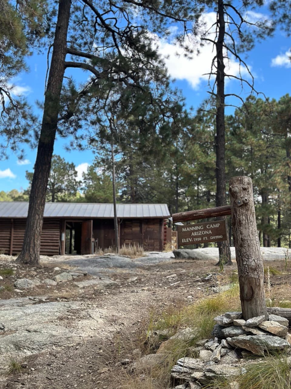
The hike begins in Coronado National Forest and continues into Saguaro Wilderness, designated in 1976. The lower creek is a riparian corridor noted for birdwatching; higher up, the route trades that streamside habitat for forested saddle and exposed summit rock. The park’s wilderness sites are deliberately sparse, so the campground is a rest point rather than a resupply stop.

Wildlife

Wildlife in Saguaro

All Saguaro wildlife maps

Sighting maps show where each species has been reported across Saguaro. Wildlife moves, so no sighting is guaranteed.

Keep exploring

Near Rincon Peak via Miller Creek Trail

See it all on the map

Trails that start nearby

Places near the trailhead

Parkwolf’s Saguaro ranking

Top-rated trails in Saguaro

All 74 trails
  1. 1Wasson Peak via King Canyon and Gould Mine LoopChallenging · 7.8 mi
  2. 2Hugh Norris Trail to Wasson PeakChallenging · 10 mi
  3. 3Bridal Wreath Falls TrailModerate · 5.9 mi
  4. 4King Canyon Trail to Wasson PeakModerate · 7 mi
  5. 5Valley View Overlook Nature TrailEasy · 0.8 mi
  6. 6Freeman Homestead TrailEasy · 1 mi

Take Parkwolf to Saguaro.

The audio tour guide for the drive, plus offline maps, trails, and wildlife heatmaps for when the signal drops.

4.7 from 8,600+ ratings

Download Parkwolf on the App StoreGet Parkwolf on Google Play