Place
Challenging

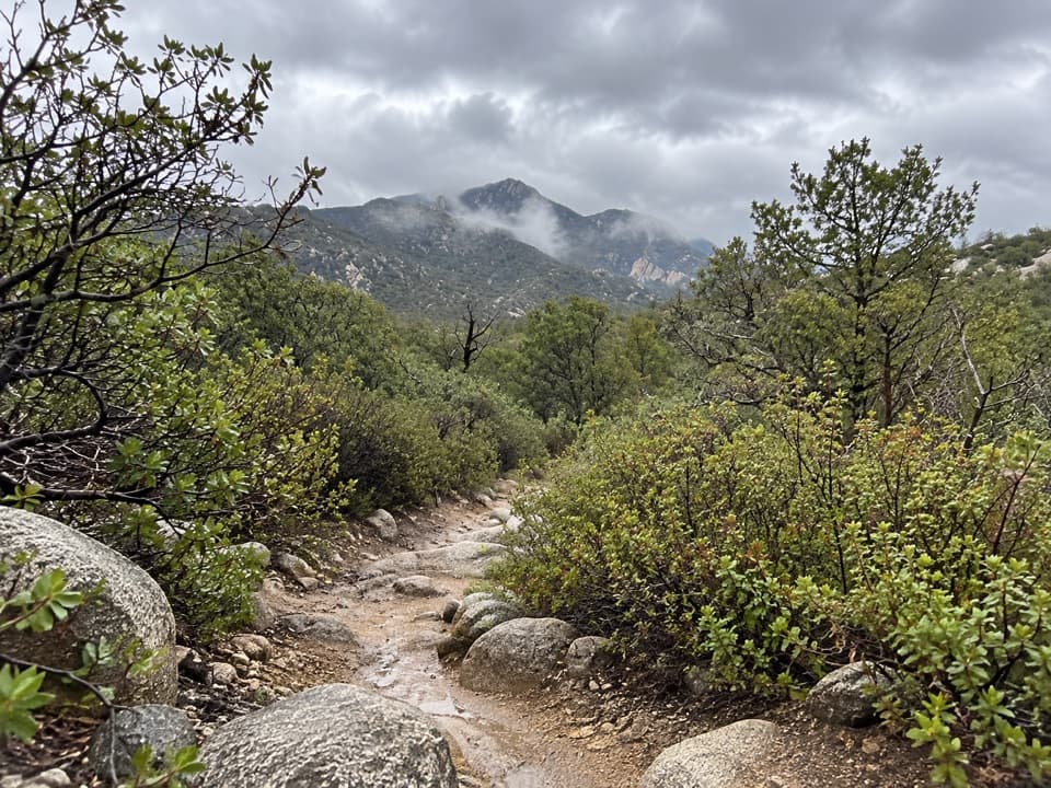
Heartbreak Ridge is a high-country connector that earns its name early, then rewards you with ever-wider Rincon vistas and a surprisingly varied journey. It runs roughly 4.2 miles one way from the Happy Valley Saddle/Miller Creek area to the Four Corners junction near Mica Mountain, gaining a bit over 1,500 feet. Note: some descriptions historically omitted ~0.45 mile at the true southern origin where the Rincon Creek Trail ends—so your on-the-ground distance may be slightly longer depending on where you start. This is backcountry travel: intermediate to difficult, exposed in places, and occasionally faint under grass or pine needles.
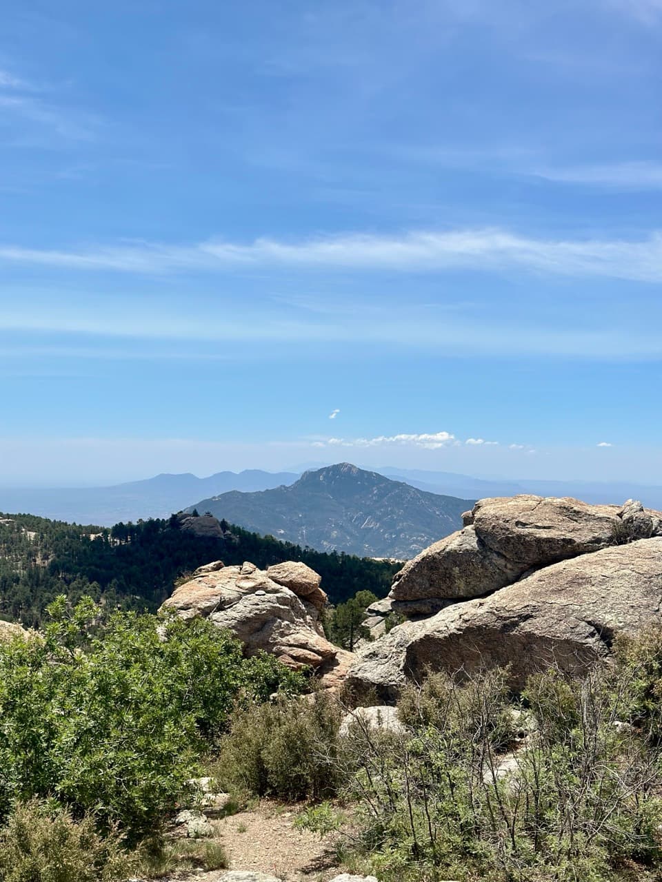
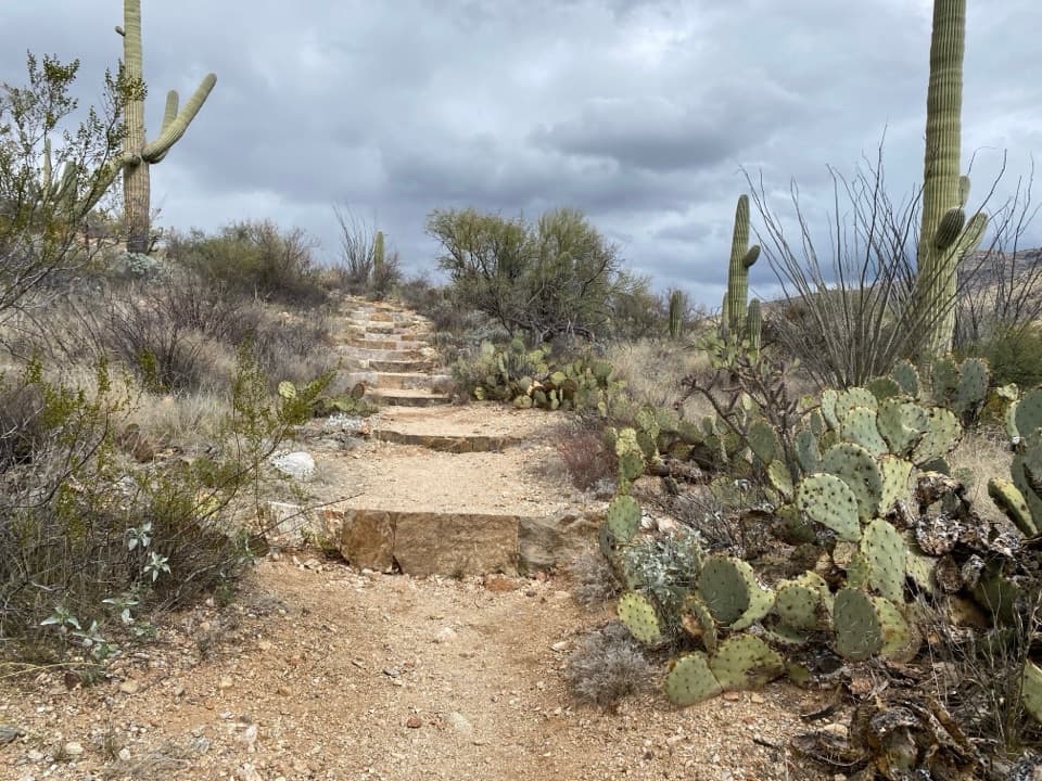
South to north, you’ll climb out of mixed scrub on sandy tread to a rocky platform, then hit the signature “staircase” section: switchbacks up an exposed ridgeline with well-spaced stone steps. Views of Rincon Peak, plus the Rincon and Madrona valleys, keep getting better as you ascend. The grade eases near a minor peak where a short spur leads to Heartbreak Lookout—worth the detour for unique angles over Happy Valley and Turkey Creek.
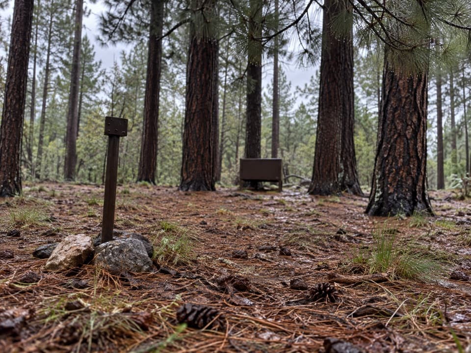
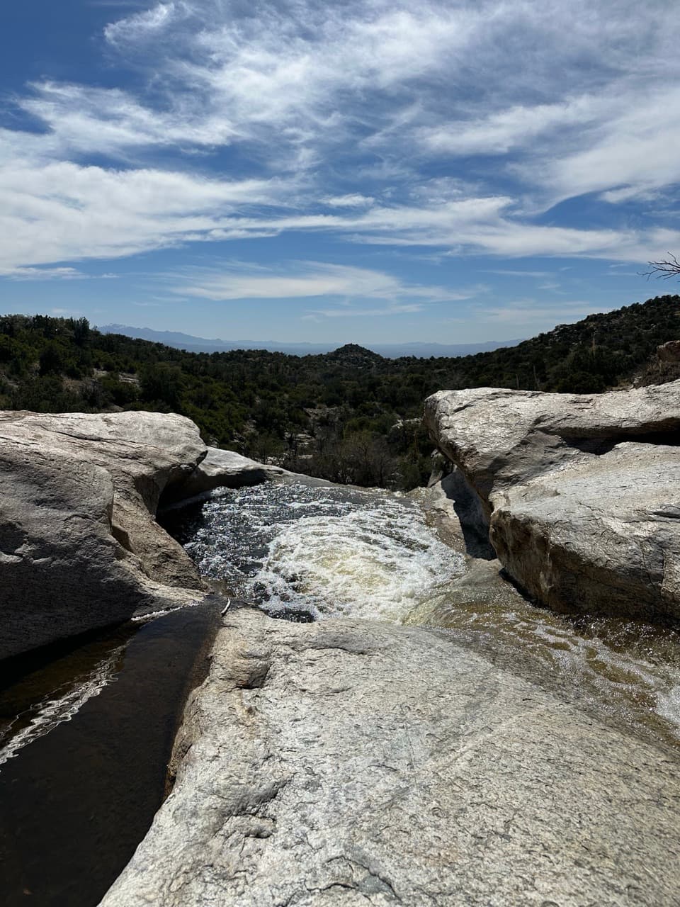
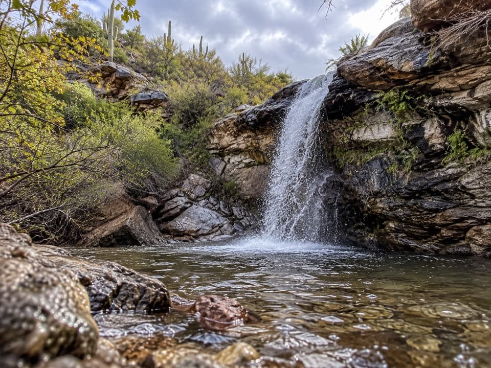
Beyond, the character flips: a straight-trending riparian meadow shaded by oak with scattered pines, with small washes that can hold seasonal pools and often good spring wildflowers. Route-finding can get tricky where the tread fades in grass, but the general line stays straight north. The ridge reappears, tops a minor saddle, dips, then levels to the Deer Head Spring Trail junction. From there you climb again into cooler pine forest, the surface turning to soft duff, before the trail ends at Four Corners—where Fire Loop, Devil’s Bathtub, and Spud Rock trails fan into Mica Mountain country.
If you like big views, engineered stone steps that make steep gain manageable, and a sampler of sky-island habitats—from scrubby sun to shady pines—this ridge delivers. It’s also an excellent link between the Rincon Peak/Happy Valley side and the Manning Camp/Mica high country. On the flip side, the ridge is exposed to sun and summer storms, the tread can be overgrown or faint in spots (oak, manzanita, pine needles), and water is sparse and seasonal.
Spring and fall are best. Spring often brings wildflowers in the meadow and running pockets of water but be ready for lingering snow or patches of ice near the top even into April. Summer monsoon season raises real lightning risk on the exposed ridge; start early, watch the sky, and avoid ridgetops when storms build. In any season, morning light flatters the stair-stepped ridge and keeps the hottest, most exposed climb behind you.
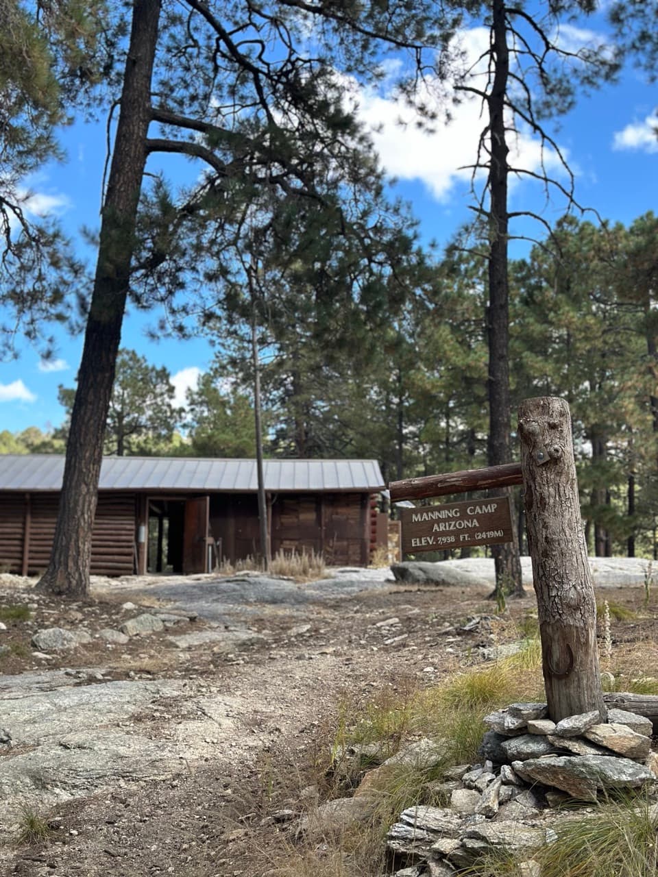
Most hikers approach via the Miller Creek Trail (generally more accessible) or the rougher Turkey Creek Road/Trail (the final 1.6 miles typically require high-clearance 4WD). After heavy rain, either approach can be restricted or impassable. Both trailheads sit on national forest land outside the park; you’ll hike roughly 1.5 miles to the Saguaro NP boundary. Water is unreliable along the ridge—Manning Camp is the most dependable source in the range, while other springs (like Deer Head) can be dry. Plan to carry what you need and treat anything you find.
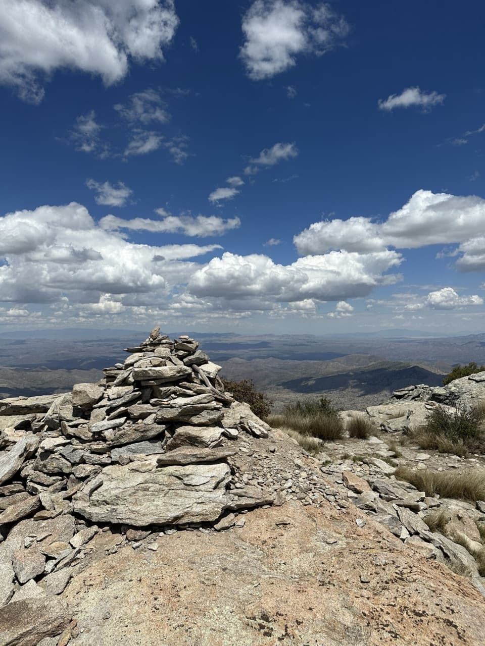
Expect brief route-finding challenges where the path disappears into grass or pine needles; cairns help where the tread crosses rock. The ridge portions are sun-exposed. Oak/manzanita can encroach, and downed trees appear after storms. Pets aren’t allowed on park trails. Backcountry camping is limited to designated sites; campfire rules are strict and vary by campground. Pack out all waste and follow wilderness etiquette.
Don’t skip the short Heartbreak Lookout spur on the way up—the Happy Valley/Turkey Creek panorama is a different feel than the rest of the ridge. If you’re connecting high-country loops, Four Corners gives you multiple options (Fire Loop, Devil’s Bathtub, Spud Rock) to tailor the day.
Park at Miller Creek Trailhead off Happy Valley Road (most accessible). Turkey Creek Trailhead is 0.5 mi beyond on a rough road; final 1.6 mi typically needs high-clearance 4WD. Both are outside the park; expect ~1.5 mi hiking to the park boundary.
Exposed ridge is hazardous in monsoon lightning; start early and be ready to retreat. Tread can be overgrown or faint in meadow/pine duff. Water is seasonal; Manning Camp is most reliable. Expect sun exposure, possible downed trees, and occasional spring snow near the top.