
Place · 3.1 mi away
Moderate
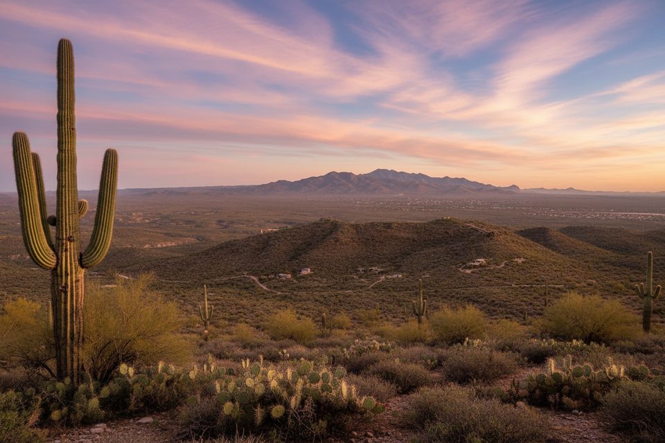
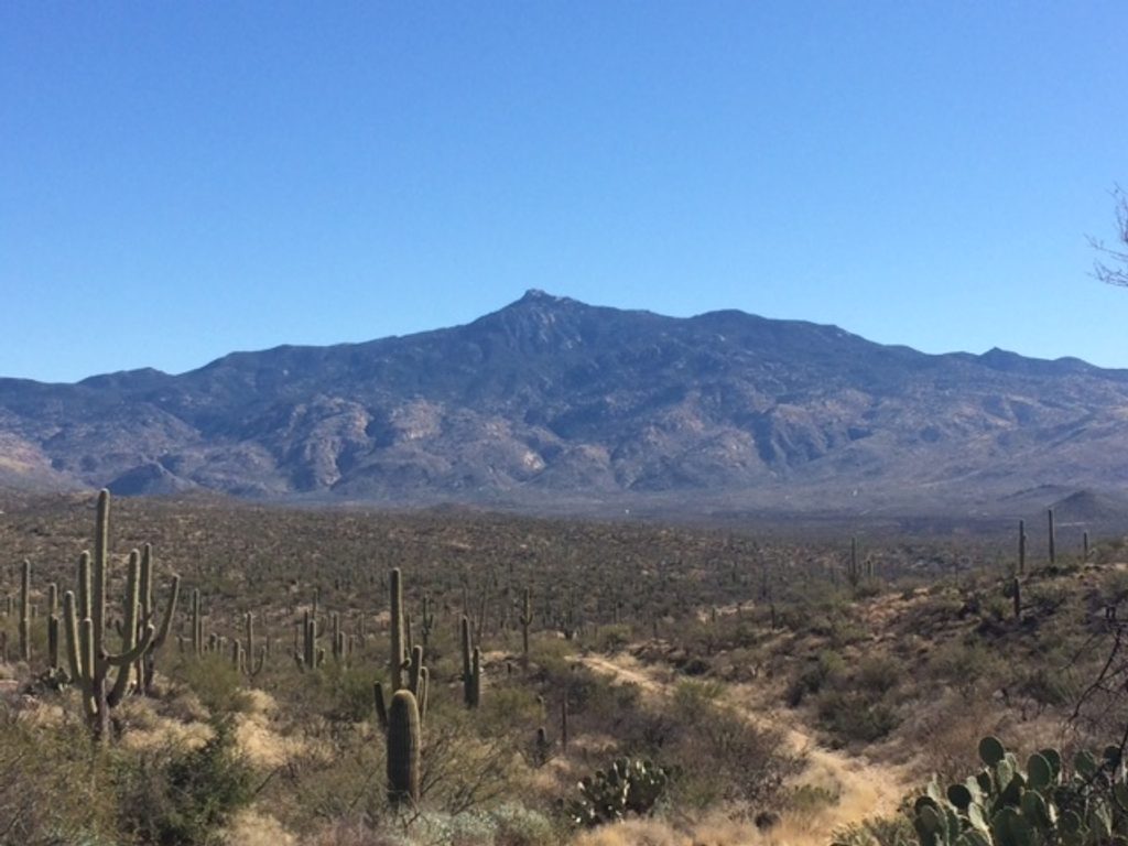
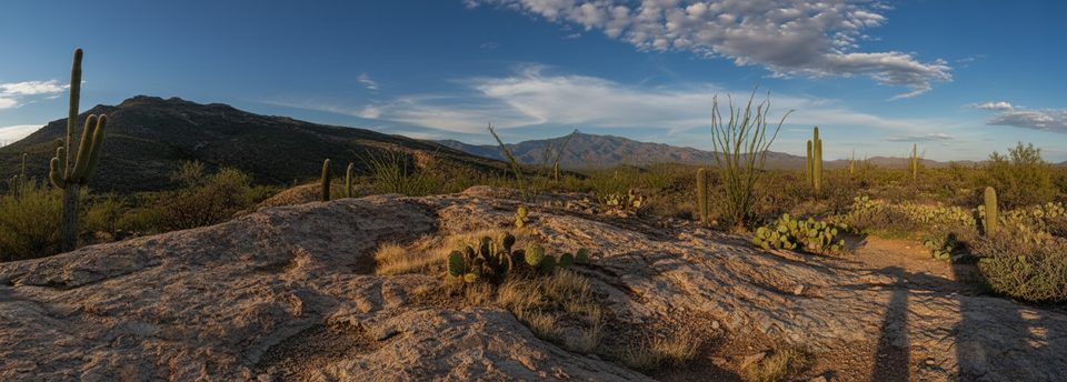
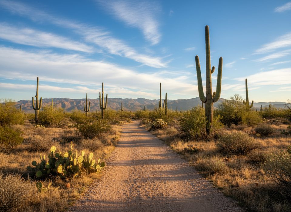
This out-and-back slice of the Arizona Trail (AZT) brushes the east side of Saguaro’s Rincon Mountain District and delivers classic Sonoran desert travel: 100% singletrack, big saguaro country, and a “forested” stretch that feels downright novel in this landscape. Expect multi-use traffic (mountain bikers and equestrians) and mostly gentle grades over a long day. Plan on about 14.8 miles total if you go from Camino Loma Alta Trailhead to the Pistol Hill Road access and back. It’s a solid sampler of the AZT without committing to the big climbs deeper in the Rincons.
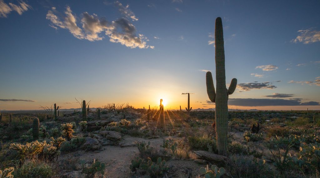
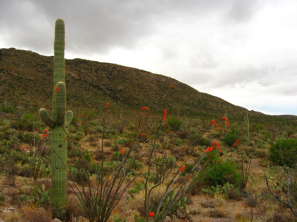
Underfoot, the tread rolls between firm desert singletrack and rockier bits. You’ll pass through classic saguaro, palo verde, and ocotillo—watch those spines—before dipping into a short, greener corridor that breaks up the desert monotony. Encounters with riders and horses are common; stay alert around bends and offer right-of-way. Beyond the flowy sections, occasional rocky stretches and tight corners demand attention, especially on descents near cacti.
It’s the distance that gets you here. The route is roughly 14.8 miles round-trip with modest total elevation gain, so steady pacing matters. Faster riders have logged around 1.9 hours; hikers should plan for significantly longer. Bring sturdy footwear for rocky segments and prepare for limited shade.
You’re likely to see deer, lizards, birds, and ground squirrels—early mornings boost your odds. In late spring, blooming palo verde and ocotillo attract bees; give flowers some space and move calmly if you hear buzzing.
Carry plenty of water; shade is scarce. There’s a spigot by picnic tables in the park for refills—nice, but don’t rely on it as your sole source. The AZT is generally well marked, yet a compass or GPS is smart if you’re venturing far between trailheads. Start from Camino Loma Alta Trailhead; a turnaround around the Pistol Hill Road access keeps logistics simple.
Cooler months are prime. March is the busiest month, so go early to beat both heat and crowds. Dawn starts pay off with softer light, cooler temps, and more wildlife activity. Midday sun is harsh, and summer heat can be dangerous.
Dogs aren’t allowed on trails in this district, so leave pets at home. Share the singletrack courteously with bikes and horses—announce yourself, yield as appropriate, and keep speeds in check around blind corners.
Park at Camino Loma Alta Trailhead; the Pistol Hill Road access on the AZT works as an alternate turnaround or start.
Heat, limited shade, and scarce water; bees around spring blooms; snakes on warm days; rocky sections with tight corners and nearby cacti; shared use with bikes and horses—stay alert and yield appropriately.
Place · 3.1 mi away
Place · 3.4 mi away
Place · 3.7 mi away
Place · 3.7 mi away
Challenging · 0 mi away
Easy · 0 mi away
Easy · 0 mi away
Easy · 0 mi away

Parkwolf Tour Guide
