
Place · 3.1 mi away
Easy
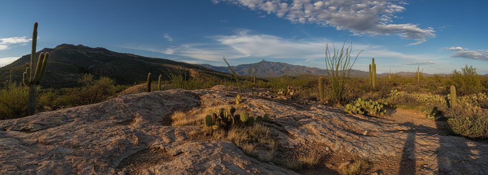
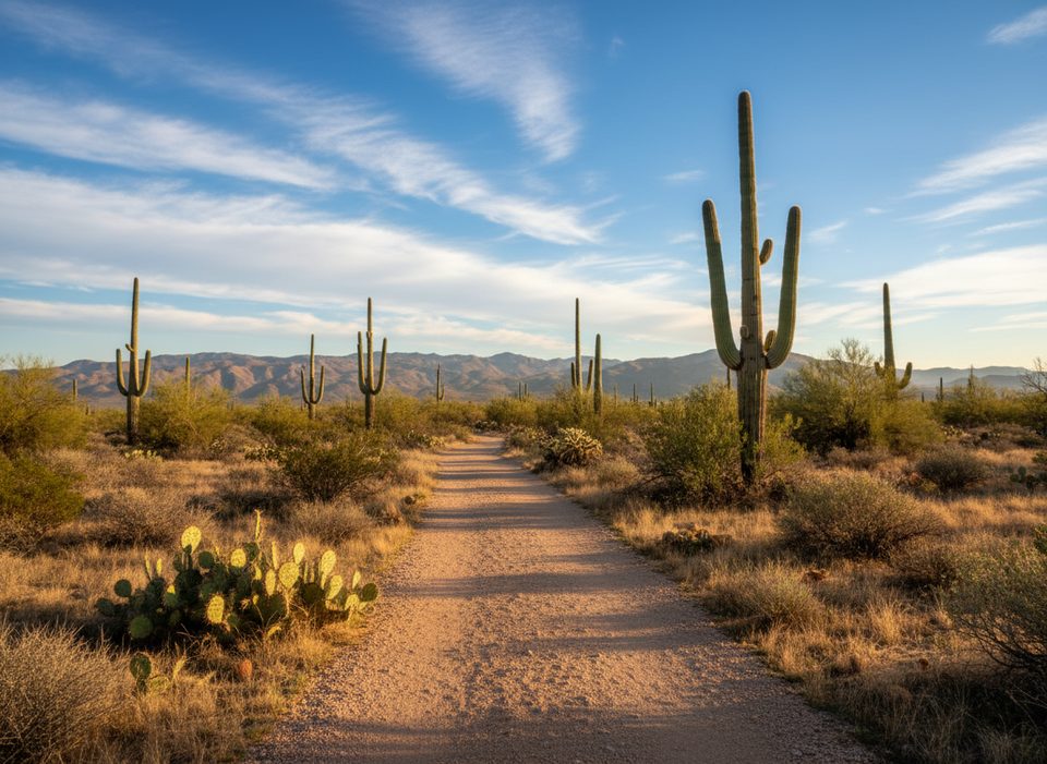
A quick, satisfying ridge ramble in Saguaro’s Rincon Mountain District (East), the Ridgeview Trail serves up far‑reaching desert vistas for modest effort. It’s an out‑and‑back that starts from Loma Alta Trailhead, briefly follows the old Hope Camp route, then turns onto singletrack and climbs steadily to panoramic viewpoints. Expect roughly 2.3 miles total (round trip) with about 350–400 feet of gain. Most hikers spend around an hour, plus extra time to linger at the top.
You’ll see both “Ridge View” and “Ridgeview” used; the park uses “Ridgeview.” The grade is steady and gentle by desert standards—easy to moderate overall and doable for many families—though the upper slabs and rocks add a little spice.
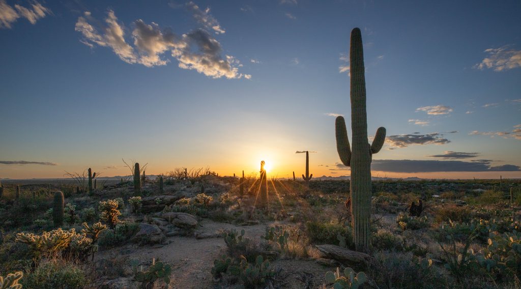
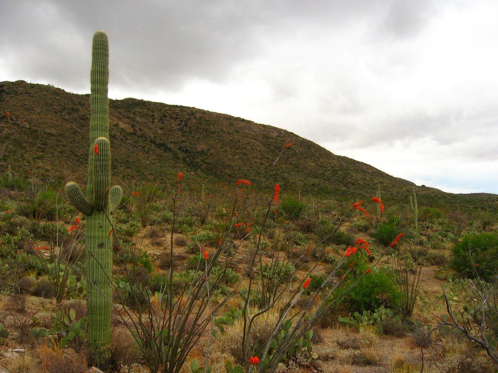
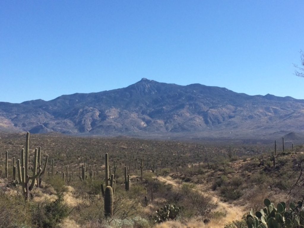
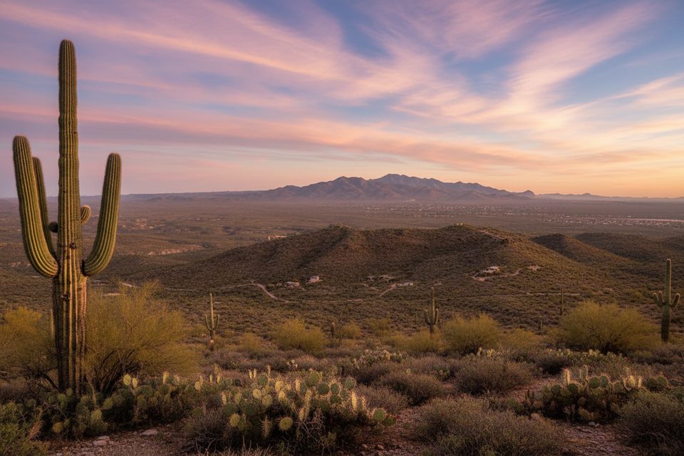
This is classic Sonoran Desert: saguaro stands dotted with prickly pear, cholla, hedgehog and barrel cactus, ocotillo, and palo verde/mesquite. In spring, wildflowers can pop. Views expand quickly toward Rincon Peak and the canyons along Tanque Verde Ridge; you may also peer into Box Canyon, where waterfalls can appear after wet spells. A broad rock slab about 1.2 miles in (near the turnaround) makes a perfect sit‑and‑soak‑it‑in perch.
The approach on Hope Camp is an old ranch road, then you’ll hit narrower singletrack with some loose rock. The main path is well defined at first, but near the top a short section can feel indistinct—watch for the continuation and avoid trampling vegetation if you poke around beyond the obvious overlooks. There’s little to no shade throughout.
Go October–May for pleasant temps, or time it for sunrise/sunset any time of year to beat the heat and get the best color. For sunset, start 60–90 minutes before the sun drops so you’re not descending in the dark (bring a headlamp just in case). Crowds are typically light here compared to the park’s headline trails.
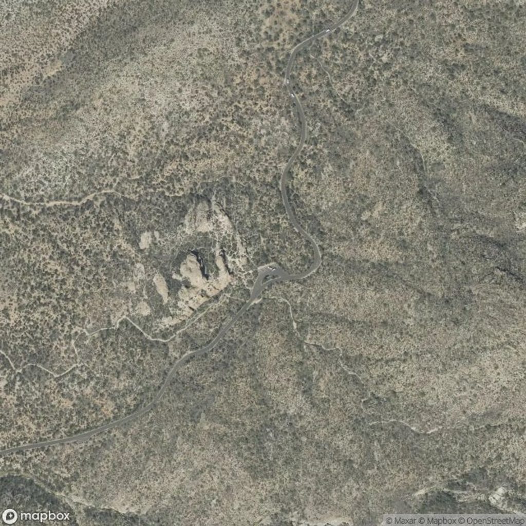
Park at Loma Alta Trailhead at the south end of S. Camino Loma Alta. The last ~0.5 mile is a graded dirt road that’s typically fine for passenger cars; parking is ample. Pets aren’t allowed on this trail. You may share the lower approach with horseback riders.
Underrated and efficient: quick climb, big views. If you want a tougher, all‑day ridge experience in this district, the Tanque Verde Ridge Trail offers a much more strenuous alternative with deeper backcountry payoff. If your goal is intimate, photogenic saguaro close‑ups, though, this isn’t the very best spot—come for the broad desert panoramas instead.
Loma Alta Trailhead at the south end of S. Camino Loma Alta; last ~0.5 mile is a graded dirt road (passenger cars usually fine). Ample, free parking; initial signage can be subtle.
Fully exposed with no shade; start early or near sunset and carry plenty of water. Watch for rattlesnakes in warm months, loose rock on upper slabs, and an indistinct path near the top—download a map/GPS track.
Place · 3.1 mi away
Place · 3.4 mi away
Place · 3.7 mi away
Place · 3.7 mi away
Challenging · 0 mi away
Easy · 0 mi away
Moderate · 0 mi away
Easy · 0 mi away

Parkwolf Tour Guide
