
Place · 3.1 mi away
Easy
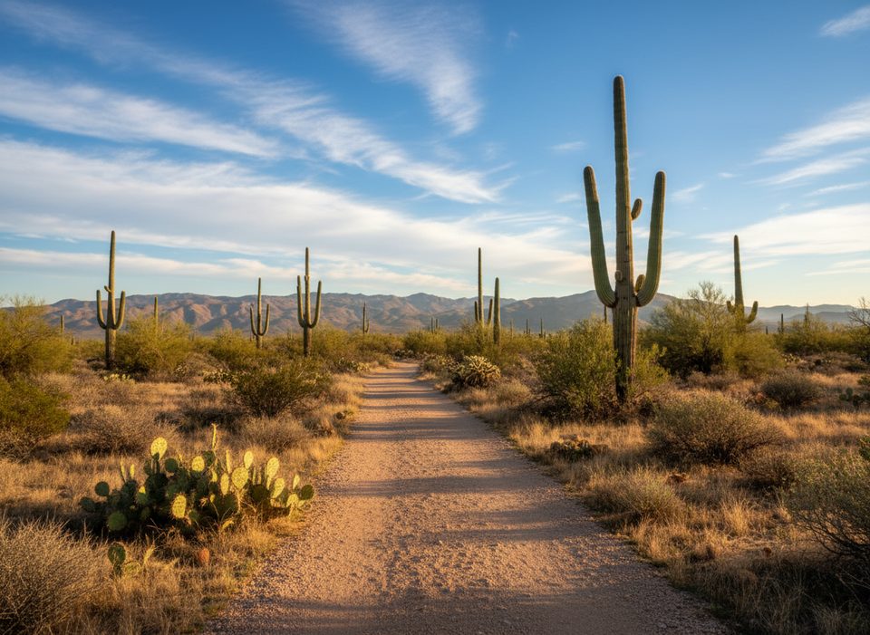
Squeeze Pen is a gently rolling desert trail in the Rincon Mountain (East) District that’s typically linked with neighboring paths for an easy, view-filled loop. The named Squeeze Pen segment runs about 2.2 miles one way (minimal elevation, ~90–120 feet of gain total). Most hikers fold it into 3–5 mile circuits with Loma Verde and Pink Hill, or stretch things farther with other connectors.
Classic, easy loops pair Loma Verde → Pink Hill → Squeeze Pen for roughly 3–4 miles, or extend to about 5 miles by adding Cactus Forest and Cholla. If you want the full flavor, include the Pink Hill spur for a quick 360-degree panorama. Through-hikers sometimes traverse Squeeze Pen south–north by linking washes and side trails.
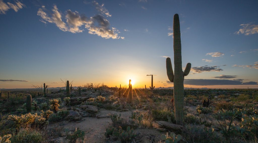
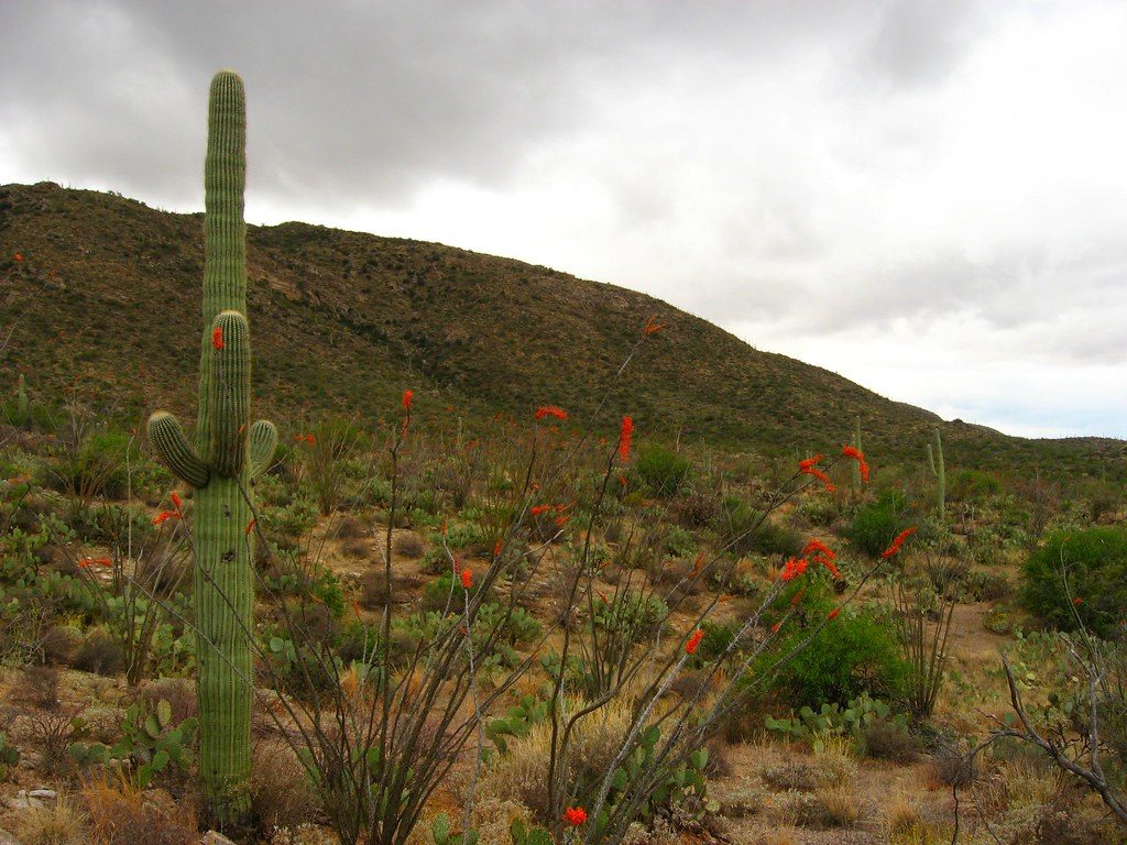
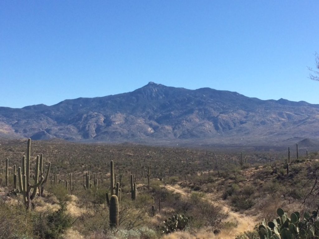
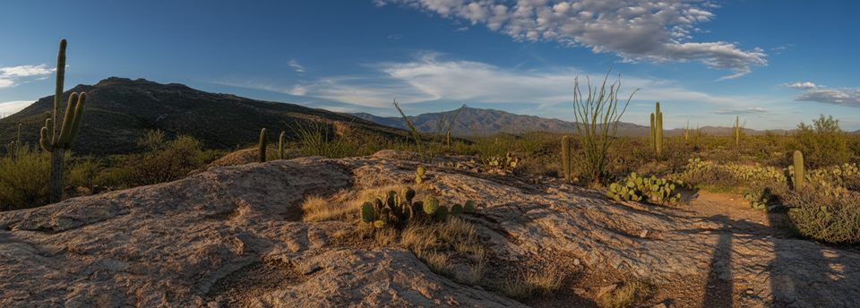
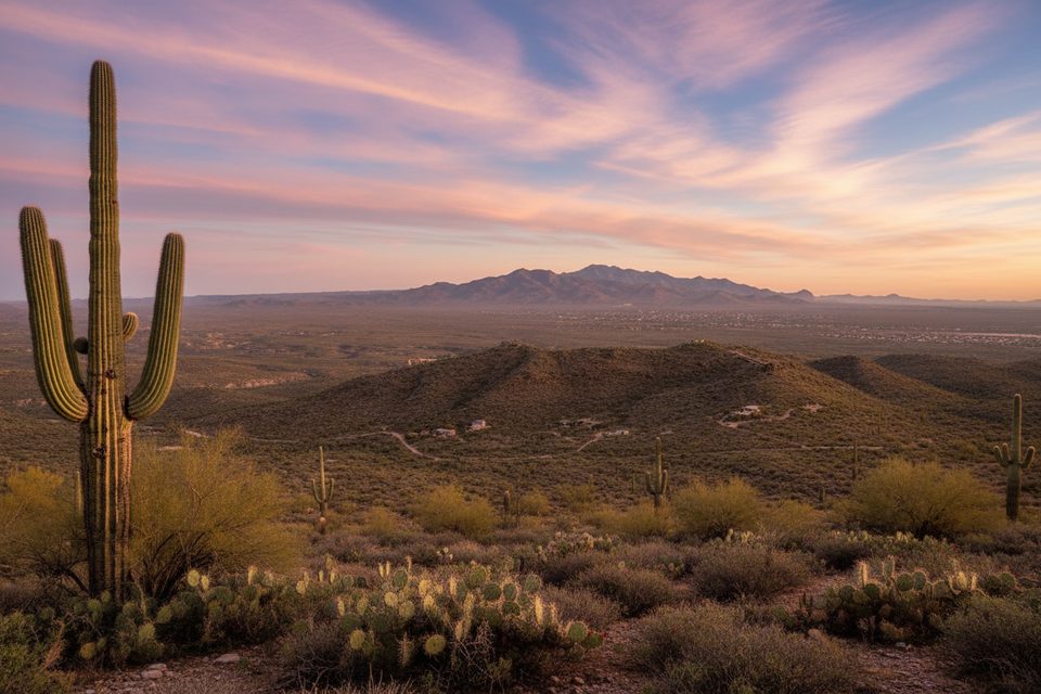
Expect well-signed, mostly sandy singletrack with a few rocky patches and several wash crossings that can be wet or muddy after storms. The flora show is textbook Sonoran Desert—towering saguaros, mesquite, palo verde, creosote, and ocotillo—with occasional mesquite bosque offering brief, welcome shade. Keep an eye out for a rare crested saguaro just off the route. Views sweep toward the Tanque Verde and Santa Catalina ranges, and loops in this area pass the remnants of the Loma Verde Mine for a little history along the way.
There’s no dedicated Squeeze Pen trailhead. The easiest access is from the Loma Verde Trailhead on the one-way, clockwise Cactus Forest Loop Road—start on Loma Verde and connect to Squeeze Pen via signed junctions. For a north–south traverse, hikers link in from the Speedway/Wildhorse side through the Wildhorse/Deer Valley area. Junctions are well marked, but stick to signed paths—social spurs appear near popular intersections.
Fall through spring is prime. This is a full-sun hike; summer heat can make an “easy” walk feel tough. Start early for cooler temps and softer light, especially if you want those Pink Hill panoramas without harsh midday glare. After rains, expect muddy washes and occasional shallow crossings.
Dogs aren’t allowed on this trail. Carry more water than you think you’ll need, wear sun protection, and be prepared for soft sand underfoot. If storms are in the forecast, plan for slower going at wash crossings.
Park at the Loma Verde Trailhead on the one-way, clockwise Cactus Forest Loop Road and hike Loma Verde to reach Squeeze Pen. For a north–south traverse, use the Speedway/Wildhorse Trailhead and link in via Wildhorse/Deer Valley area.
Full sun exposure with little shade; start early and carry ample water year-round. Wash crossings may be muddy or hold water after storms. Dogs are not allowed.
Place · 3.1 mi away
Place · 3.4 mi away
Place · 3.7 mi away
Place · 3.7 mi away
Challenging · 0 mi away
Easy · 0 mi away
Easy · 0 mi away
Moderate · 0 mi away

Parkwolf Tour Guide
