Parking
Start at Douglas Spring Trailhead at the east end of East Speedway Boulevard. RV parking is unavailable in the Rincon Mountain District.
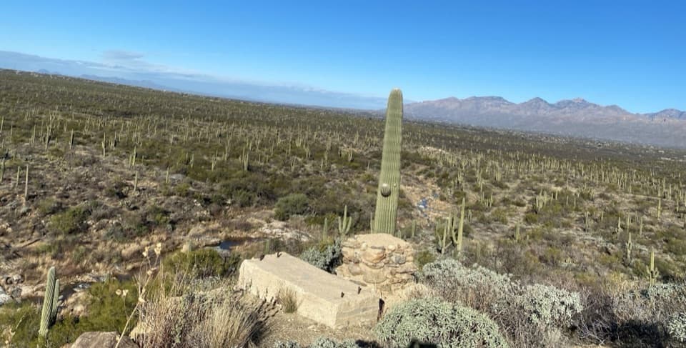
Saguaro National Park, AZ
A historic dam rewards a rough wash-crossing through cactus forest.
Overview
Garwood Dam Trail is a 3.8-mile out-and-back from Douglas Spring Trailhead, following Douglas Spring, Garwood and Carrillo trails to a historic dam in Wildhorse Canyon. The park's surveyed 1.9 miles is one way; allow two to three hours for the return walk and time at the dam. Choose it for a rugged cactus-forest hike with a real piece of homestead history at the end. The measured approach gains about 484 feet and loses about 98 feet before the turnaround.
 Parkwolf’s verdictIs this the short Garwood walk for you?
Map & elevation
Plan your hike

The highest, rockiest slopes around here are a summer buffet for grizzly bears.
Saguaro Tour Guide
Parkwolf is a GPS audio tour guide for Saguaro National Park. As you drive, it chimes in with what’s ahead: hidden gems, upcoming stops, history, geology, and wildlife, right through your car’s speakers.
See the Saguaro audio tourRecorded for this trailhead
Douglas Spring and Wildhorse: The Falls Hike“You're nearing the Douglas Spring and Wildhorse trailheads near the end of Speedway Boulevard.”
Plays as you drive up to this trailhead in the Parkwolf Saguaro Tour Guide.
More stories near here in the app
“Fantastic app with many points of information… It’s great to just turn on while you’re driving and it gives you an audio tour of the national Park. We love it!!!!”


Trail guide
From Douglas Spring Trailhead, stay on Douglas Spring for about 0.2 mile, then turn right onto Garwood Trail. Follow it to Carrillo Trail and turn left; the last stretch climbs steeply to the dam. This is a network of connected paths, so keep the dam as your turnaround and retrace the same corridor.
The route crosses several washes and alternates hard desert ground with softer sand. Rocky, eroded stretches have deep ruts and a few steps; the steepest measured grade is 28.4%. The park survey counted 15 ruts deeper than a foot, totaling nearly 700 feet, and found the path narrows from about 28 inches to 18 inches in places. It is rough walking for the mileage, not a smooth stroll. Water in the washes is seasonal, so don't plan on it as a supply.
Nelson and Josephine Garwood bought 450 acres here in 1945, and Nelson began the dam in 1948 to store water from Wildhorse Canyon for their home. Masonry, steel and poured concrete went into the work in stages. Gravity fed two 20,000-gallon holding tanks through an eight-inch filtered intake; sediment eventually filled the reservoir. Look closely at the concrete for the texture left by its plywood forms.
The direct hike ends at Garwood Dam. Carrillo continues beyond it toward foothill switchbacks, a ridge and Little Wildhorse Tank; the park's separate dam-and-tank outing is a 6.4-mile loop that returns by other trails. Do that only if you want the longer circuit.
Wildlife
 19 sightingsBlack BearMost seen around 6 AMSighting map
 56 sightingsMountain LionMost seen around 6 AMSighting map
 266 sightingsMule DeerMost seen around 6 PMSighting map
 113 sightingsCollared PeccaryMost seen around 6 PMSighting map
 53 sightingsBobcatMost seen around 6 AMSighting map
 127 sightingsCoyoteMost seen around 6 PMSighting map
Sighting maps show where each species has been reported across Saguaro. Wildlife moves, so no sighting is guaranteed.
Keep exploring
 ModerateBridal Wreath Falls Trail5.9 mi · 3.5 hr · At the trailheadFollow a rugged desert path to a seasonal waterfall in the Rincons.ModerateGarwood Dam and Wildhorse Tank Loop6.4 mi · 4.5 hr · At the trailheadA ranch dam, cactus forest, and a rare desert water tank.
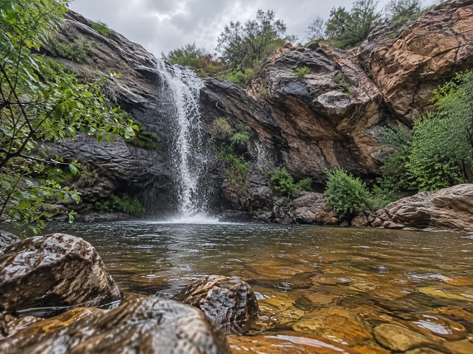 ModerateBridal Wreath Falls and Little Wildhorse Tank Loop8.3 mi · 5 hr · At the trailheadA falls alcove and seasonal tanks reward a long foothills loop.
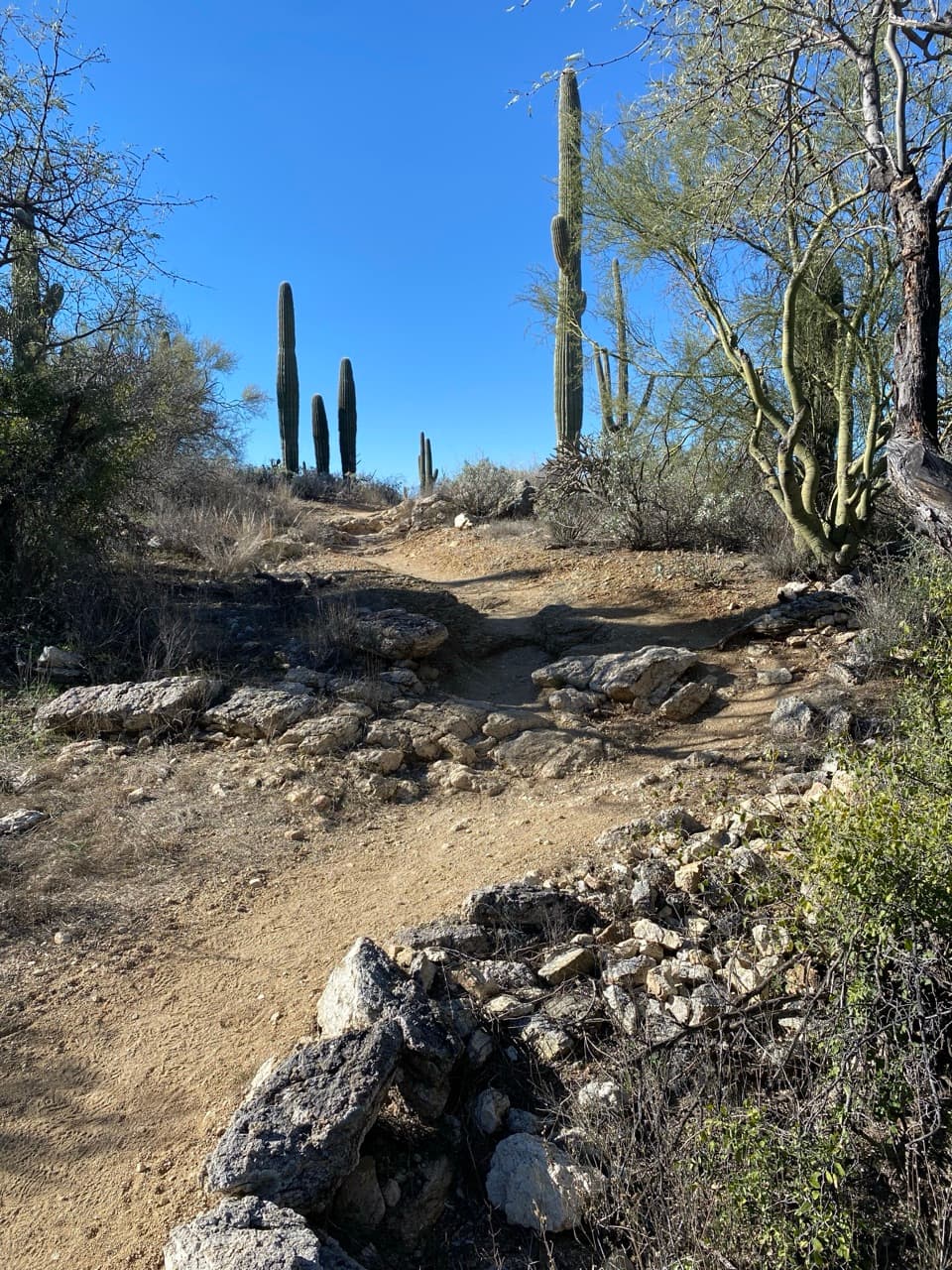 ChallengingDouglas Spring Trail to Douglas Spring Campground13 mi · 7.5 hr · At the trailheadA long desert climb to a shaded backcountry camp.
 ChallengingMica Mountain via Douglas Spring26 mi · 14 hr · At the trailheadA long climb from cactus desert to Mica Mountain’s forested summit.
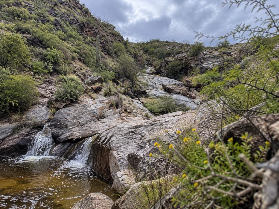 ModerateErnie's Falls Trail6.6 mi · 4 hr · At the trailheadA long desert climb ends at a small, seasonal bedrock cascade.
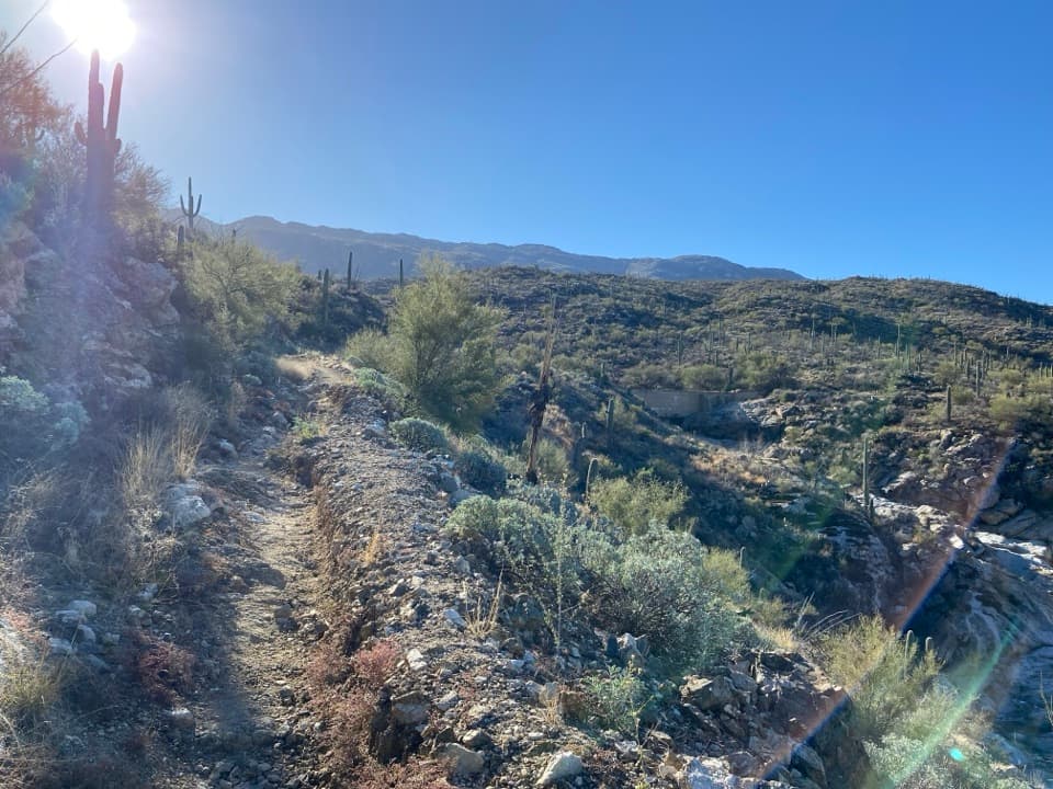 ModerateThree Tank Trail Loop7.5 mi · 5.5 hr · At the trailheadThree old water sites and one ranch dam on open desert trails.
 ModerateWildhorse Trail to Little Wildhorse Tank4.4 mi · 2.3 hr · 0.1 mi awayA rocky, sun-exposed out-and-back to Little Wildhorse Tank.
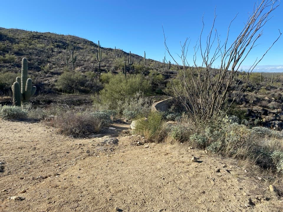 Sight · 1.5 mi awayGarwood DamA homestead-era dam tucked into the cactus forest
 Sight · 1.8 mi awayLittle Wildhorse TankA desert pool with a decades-long recovery story.
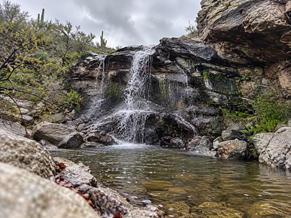 Sight · 2.2 mi awayBridal Wreath FallsA desert hike to a waterfall that may be dry.
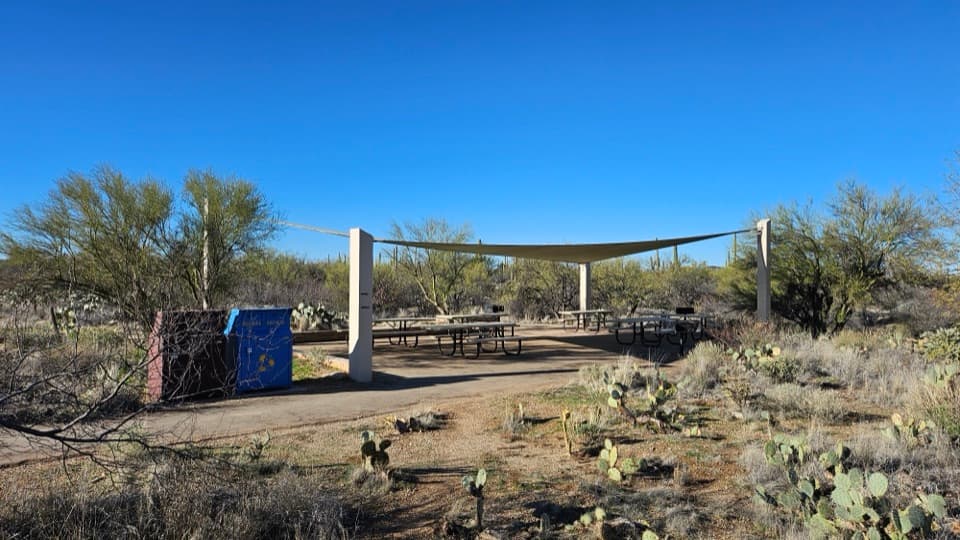 Picnic area · 2.7 mi awayMica View Picnic AreaA shaded picnic stop with an accessible desert stroll.
 Scenic pullout · 2.9 mi awayRiparian OverlookA quick pullout for Saguaro East’s wide cactus-forest views.
 Sight · 3.8 mi awayRincon Mountains OverlookA roadside panorama over the Cactus Forest toward the Rincon Mountains.
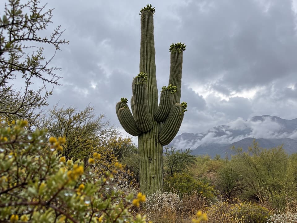 Scenic pullout · 3.8 mi awayCactus Forest OverlookSaguaro views and a surprisingly long recovery story.
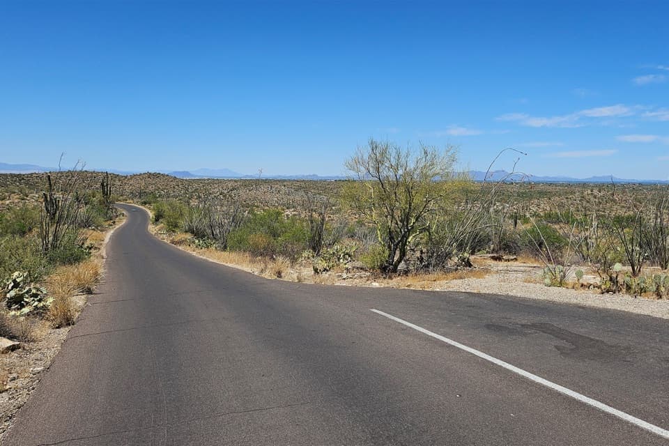 Scenic pullout · 3.8 mi awayCactus Forest Sunset PulloutA small sunset stop between Rincon Mountain Overlook and Javelina Rocks.
Parkwolf’s Saguaro ranking
The audio tour guide for the drive, plus offline maps, trails, and wildlife heatmaps for when the signal drops.


