Parking
Use the paved King Canyon Trailhead lot on Kinney Road, across from the Arizona-Sonora Desert Museum. It is in Pima County Tucson Mountain Park and has 32 vehicle spaces plus two horse-rig spaces; arrive early if parking is a priority.

#1 of 74 trails in Saguaro
Saguaro National Park, AZ
A rocky climb to big summit views above Tucson's saguaro forest.
Overview
Map & elevation
Plan your hike

The highest, rockiest slopes around here are a summer buffet for grizzly bears.
Saguaro Tour Guide
Parkwolf is a GPS audio tour guide for Saguaro National Park. As you drive, it chimes in with what’s ahead: hidden gems, upcoming stops, history, geology, and wildlife, right through your car’s speakers.
See the Saguaro audio tourRecorded for this trailhead
King Canyon: Wasson Peak or Gould Mine“You're coming up on King Canyon Trailhead, where the climb to Wasson Peak starts.”
Plays as you drive up to this trailhead in the Parkwolf Saguaro Tour Guide.
More stories near here in the app
“Fantastic app with many points of information… It’s great to just turn on while you’re driving and it gives you an audio tour of the national Park. We love it!!!!”


Trail guide
King Canyon/Gould High Loop is a roughly 7.8-mile circuit from King Canyon Trailhead to Wasson Peak and back by different trails. Climb King Canyon, take the short summit spur, head west on Hugh Norris, descend by Sendero Esperanza, and finish on Gould Mine. Allow about four to six hours, with around 1,800 feet of climbing; five hours is a reasonable plan at a steady pace. It is a hard half-day hike. This is the summit circuit, not the separate 2.4-mile King Canyon/Gould Mine wash loop, which skips Wasson Peak and the high ridge. The distance includes the summit spur and return to the same trailhead.
The climb starts on an old roadbed, passes a gate and a few natural rock steps, then narrows into a rougher uphill trail. Saguaros and other desert plants cover the slope, but shade is scarce. The tread grows steeper and rockier higher up, with switchbacks and loose gravel that demand attention, especially on the way down. A roughly 0.3-mile marked spur reaches Wasson Peak; the precise spur is not represented in the digital trail geometry, so follow the signed tread at the junction rather than relying on the drawn line for that short stretch.
At 4,687 feet, Wasson Peak is the highest point in the Tucson Mountain District. The open summit rewards the climb with broad views across Tucson, Avra Valley and the surrounding ranges. It is exposed, with little shade, so stop for the view but keep enough energy and water for the long descent still ahead.
From the summit, continue west on Hugh Norris. This stretch climbs and drops over rocky ridgeline, using stone steps and exposed switchbacks; views open toward Avra Valley and the mountain ranges beyond. At the junction, Sendero Esperanza descends toward Gould Mine. Its route alternates easier traverses with steeper, stony pitches. Junction names can be confusing, especially near Sendero Esperanza and the lower wash, so keep a map or GPS track handy and check signs before turning.
Gould Mine returns you through low desert hills and across a rocky wash. The old copper workings operated from 1906 to 1954; colored tailings, a cabin foundation and scattered pieces of wood and iron remain along the slope. Keep to the trail and outside barred mine openings. On the King Canyon approach, look for ancient lake-bed arkose: these deposits formed more than 100 million years ago, long before today's cactus forest.
Start at the paved King Canyon Trailhead lot on Kinney Road, across from the Arizona-Sonora Desert Museum. The lot is in Pima County's Tucson Mountain Park, outside Saguaro National Park, and has 32 vehicle spaces plus two horse-rig spaces. This loop enters the national park, where hikers on foot age 16 and older need an entrance pass. Dogs are not allowed on the route. No water refill or food stop was confirmed along the loop; carry all the water you need for a long, exposed desert hike.
Wildlife
 19 sightingsBlack BearMost seen around 6 AMSighting map
 56 sightingsMountain LionMost seen around 6 AMSighting map
 266 sightingsMule DeerMost seen around 6 PMSighting map
 113 sightingsCollared PeccaryMost seen around 6 PMSighting map
 53 sightingsBobcatMost seen around 6 AMSighting map
 127 sightingsCoyoteMost seen around 6 PMSighting map
Sighting maps show where each species has been reported across Saguaro. Wildlife moves, so no sighting is guaranteed.
Keep exploring
 ModerateKing Canyon Trail to Wasson Peak7 mi · 4.3 hr · At the trailheadA direct desert climb to Wasson Peak and its broad summit views.
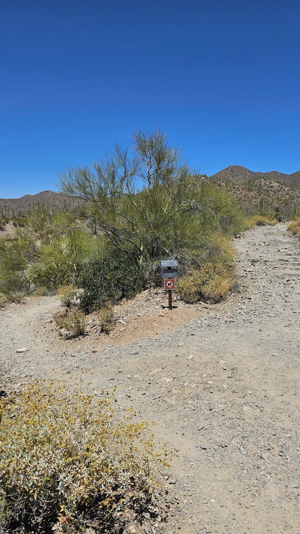 ModerateKing Canyon Short Loop1.8 mi · 1.3 hr · At the trailheadA short canyon wash and a rocky old-road return.
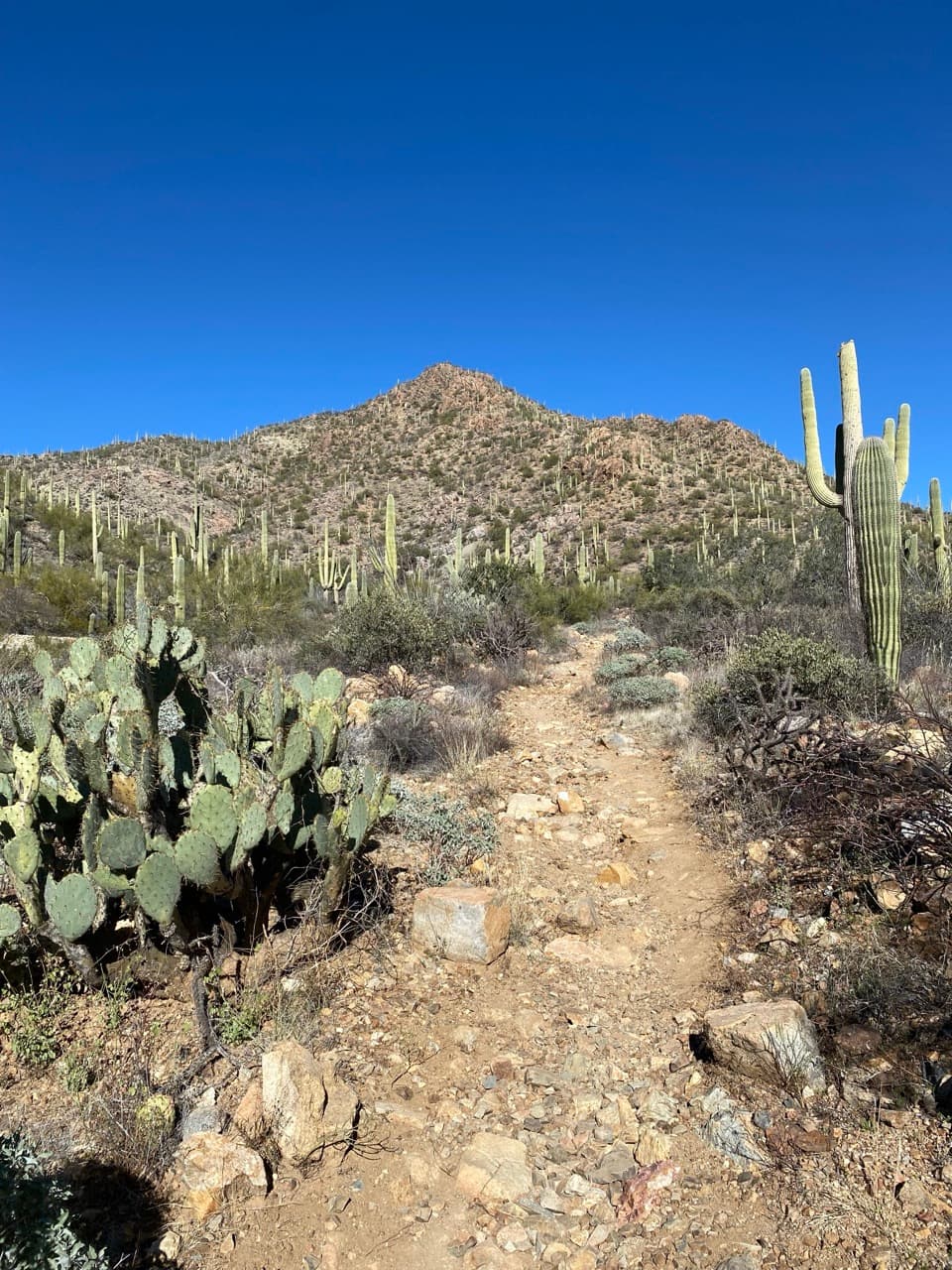 EasyGould Mine Trail2.2 mi · 1.3 hr · At the trailheadA climb through cactus scrub ends at an old copper mine.
 ModerateKing Canyon / Gould Mine Loop2.5 mi · 1.8 hr · At the trailheadA rugged desert loop visits the remains of a copper mine.
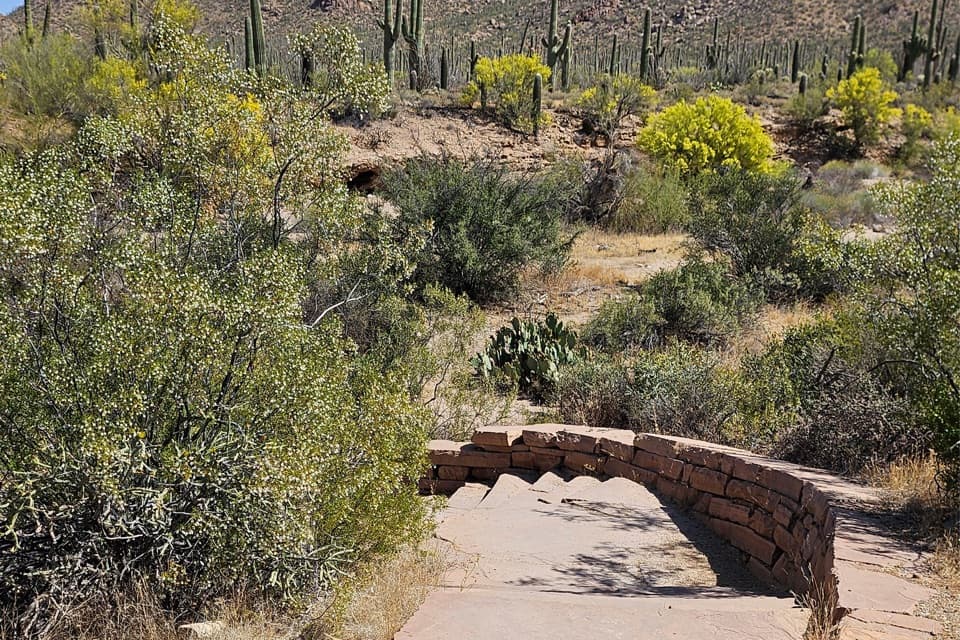 EasyJavelina Wash Trail0.3 mi · 25 min · 1.9 mi awayA short wash loop for sand, burrows, and desert detail.
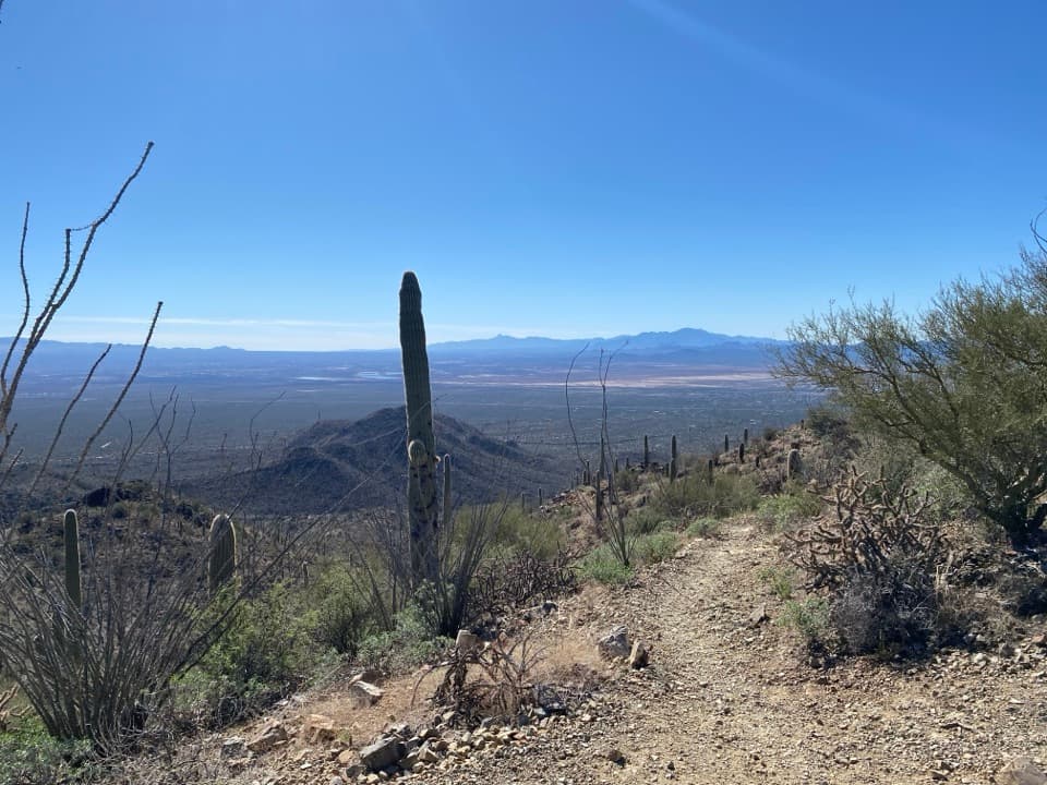 ChallengingSendero Esperanza to Wasson Peak8 mi · 5 hr · 2.6 mi awayClimb to the Tucson Mountains' 4,687-foot high point.
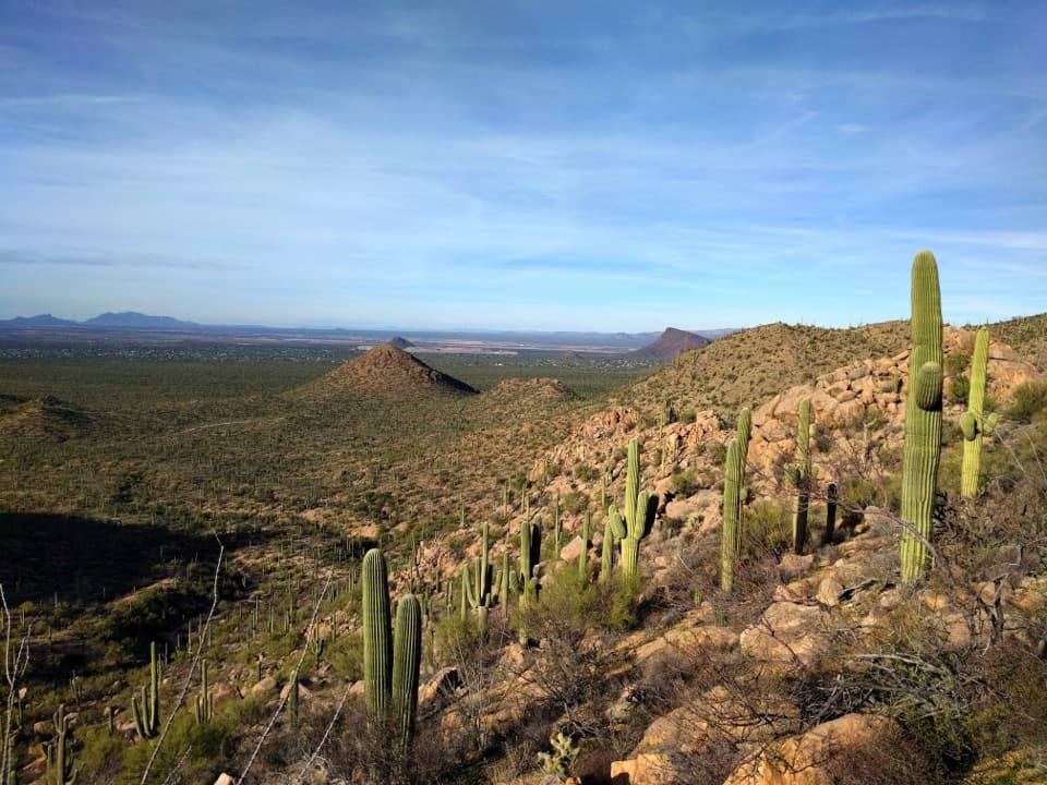 ChallengingSendero Esperanza Trail Big Loop8.5 mi · 5.5 hr · 2.6 mi awayAn 8.5-mile desert loop linking ridge views and sandy washes.
 ModerateGolden Gate Multi-use Trail2.5 mi · 1.5 hr · 2.6 mi awayA wide gravel track links the Bajada Loop and Picture Rocks Road.
 Sight · 0.3 mi awayArizona-Sonora Desert MuseumA living field guide to the Sonoran Desert on a cactus-covered hillside.
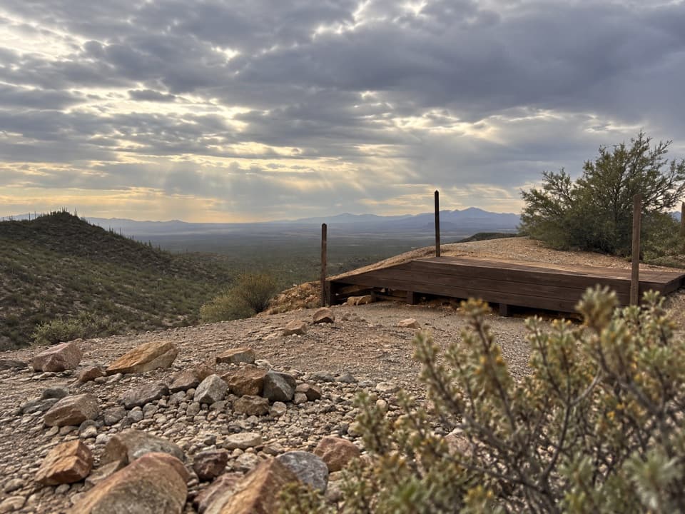 Sight · 0.7 mi awayGould MineCopper mine ruins reached by a desert hike.
 Picnic area · 0.8 mi awayMam-A-Gah Picnic AreaA covered picnic stop with desert views, nearly a mile uphill.
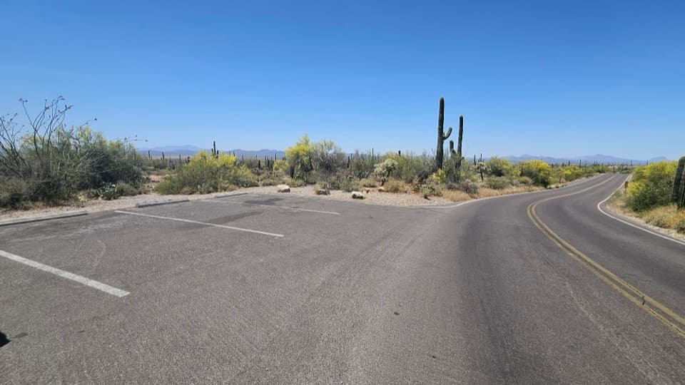 Scenic pullout · 1.6 mi awayKinney Road Sunset PulloutA quick sunset stop with only four parking spaces.
 Visitor center · 1.8 mi awayRed Hills Visitor CenterStart here for desert exhibits, trail advice, and Red Hills views.
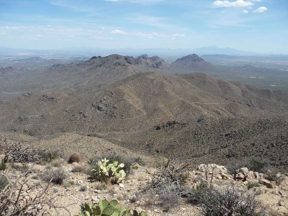 Sight · 2.1 mi awayWasson PeakA hard-earned summit puts Tucson and two mountain ranges in view.
 Picnic area · 2.6 mi awaySendero Esperanza Picnic AreaA simple picnic stop at the end of Golden Gate Road
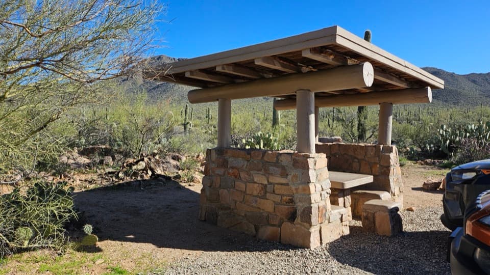 Picnic area · 2.6 mi awayEz-Kim-In-Zin Picnic AreaA stone shelter turns a desert picnic into a proper stop.
Parkwolf’s Saguaro ranking

The audio tour guide for the drive, plus offline maps, trails, and wildlife heatmaps for when the signal drops.




