King Canyon Trail to Wasson Peak in Saguaro National Park

#4 of 74 trails in Saguaro

Saguaro National Park, AZ

King Canyon Trail to Wasson Peak

A direct desert climb to Wasson Peak and its broad summit views.

Photo: Wikimedia Commons
Length
7mi
Time
4.3hr
Elev. change
1,709ft
Difficulty
Moderate
  • No dogs
  • High point 4,613 ft

Hear the audio tour

King Canyon: Wasson Peak or Gould Mine

Overview

About King Canyon Trail to Wasson Peak

Why go

  • A direct route to Wasson Peak with broad summit views.
  • Distinct route landmarks make useful checkpoints on the climb.

Heads up

  • Seven miles of steady climbing, switchbacks, and rocky footing.
  • The small trailhead lot can fill early.

Map & elevation

The route

Loading the Saguaro map
Full map
Elevation2,904–4,613 ft
TrailheadKing Canyon Trailhead32.24732, -111.16716
Keep this map with you offline in the Parkwolf app

Plan your hike

Before you go

Parking

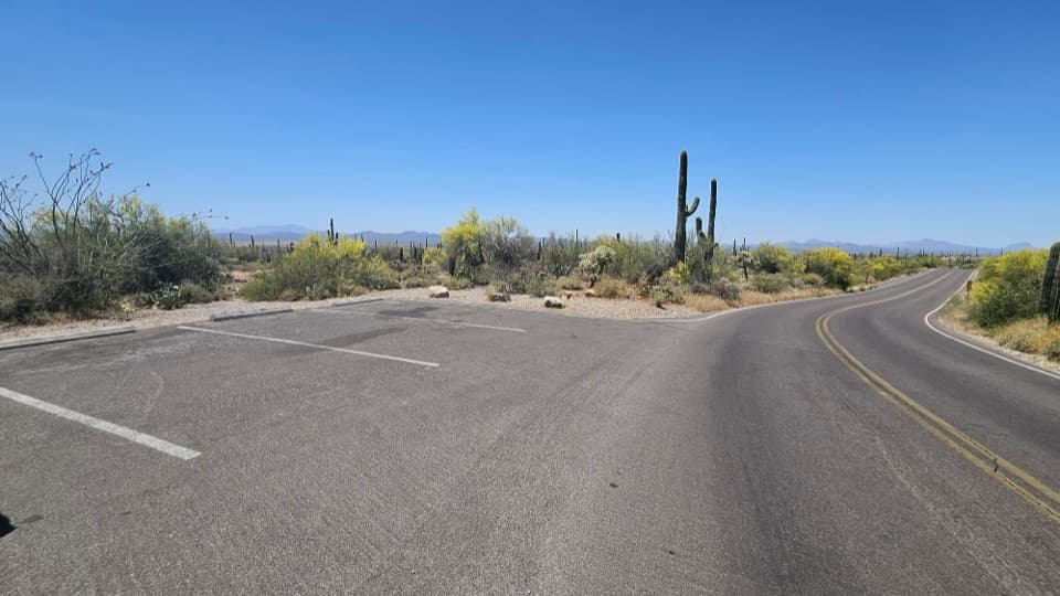
Use the King Canyon Trailhead lot across Kinney Road from the Arizona-Sonora Desert Museum. It is in Tucson Mountain Park, just outside Saguaro National Park; visitors report that the small lot can fill early. The trailhead has auto and bus/RV parking.

Safety

Expect a long, sun-exposed desert climb with loose rock and repeated switchbacks; extreme heat is hazardous. Hikers age 16 or older need an individual park entrance pass to enter Saguaro on foot. Pets are prohibited on park trails.

3 active Saguaro alerts

  • ClosureTucson Mountain District road closuresMentions Tucson Mountain District, referenced in this guideSeveral Tucson Mountain District roads are closed; follow posted closures and use McCain Loop to bypass the Kinney Road closure.Official details
  • CautionVehicle break-ins reported at trailheadsMentions this trailVehicle break-ins have occurred at King Canyon Trailhead and other park trailheads; secure your vehicle and valuables.Official details
See all 3 alerts
A park ranger sits on a dash-mounted phone, talking, as Parkwolf’s Tour Guide plays “Army Cutworm Moths: A Grizzly Bear Buffet” on Grand Loop Road below Dunraven Pass in Yellowstone
Parkwolf Tour GuideThe highest, rockiest slopes around here are a summer buffet for grizzly bears.

Saguaro Tour Guide

Your drive to King Canyon Trail to Wasson Peak, narrated.

Parkwolf is a GPS audio tour guide for Saguaro National Park. As you drive, it chimes in with what’s ahead: hidden gems, upcoming stops, history, geology, and wildlife, right through your car’s speakers.

See the Saguaro audio tour

Recorded for this trailhead

King Canyon: Wasson Peak or Gould Mine
0:00 / 0:26
“You're coming up on King Canyon Trailhead, where the climb to Wasson Peak starts.”

Plays as you drive up to this trailhead in the Parkwolf Saguaro Tour Guide.

More stories near here in the app

  • Arizona-Sonora Desert Museum
  • Red Hills Visitor Center
  • Ez-Kim-In-Zin and Sendero Esperanza
  • Hugh Norris: A Long Ridge Hike
  • 43 audio storiesacross Saguaro’s roads, triggered by GPS as you drive
  • Wildlife heatmapsfor Black Bear, Mountain Lion, Mule Deer, and 13 more
  • Works offlinemaps, 74 trails, 40 places, and audio download before you lose signal
  • CarPlay readysimple controls built for the drive
★★★★★
“Fantastic app with many points of information… It’s great to just turn on while you’re driving and it gives you an audio tour of the national Park. We love it!!!!”
JMJamesApp Store review
Download Parkwolf on the App StoreGet Parkwolf on Google Play

4.7 from 8,600+ ratings

Trail guide

Hiking King Canyon Trail to Wasson Peak

The direct route to Wasson PeakKing Canyon Trail is a 7-mile out-and-back from King Canyon Trailhead to Wasson Peak, 3.

King Canyon Trail is a 7-mile out-and-back from King Canyon Trailhead to Wasson Peak, 3.5 miles each way. The trail climbs out of Tucson Mountain Park and into Saguaro's Tucson Mountain District; the final 0.3 mile follows Hugh Norris Trail to Wasson, the 4,687-foot high point of the Tucson Mountains. Allow about four to four and a half hours. If you want a direct summit hike from this side of the range, this is the route. The payoff is an open, 360-degree view across Tucson and the surrounding desert.

Climb in stagesThe first 0.9 mile rises gradually to Mam-A-Gah Picnic Area, named for a Tohono O'odham chief.

The first 0.9 mile rises gradually to Mam-A-Gah Picnic Area, named for a Tohono O'odham chief. The next 1.4 miles are steeper as you climb toward the Sweetwater Trail junction. Then come 0.9 mile of switchbacks to Hugh Norris Trail, followed by the final 0.3-mile push to the peak. Those named junctions make useful checkpoints; turn around at any of them if the climb is taking longer than you expected. The return follows the same route down.

Stay on the summit routeThe King Canyon Trailhead serves several hikes, and the nearby King Canyon Wash Trail is easy…

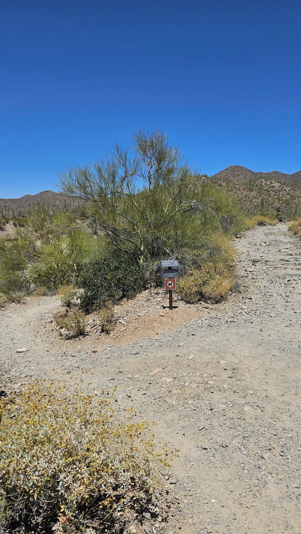
The King Canyon Trailhead serves several hikes, and the nearby King Canyon Wash Trail is easy to confuse with the summit route. It follows the dry wash and meets King Canyon Trail again about 0.9 mile up. For Wasson, take King Canyon Trail itself through the Sweetwater junction to Hugh Norris. Signs and forks can be confusing, especially if you are considering a loop. The shorter 2.4-mile King Canyon/Gould Mine loop is a different hike and does not reach the summit; a 7.8-mile loop adds several trails and is not this out-and-back.

Expect a rocky climbThis is a real uphill effort, with uneven rock, natural steps, and loose gravel on sections of…

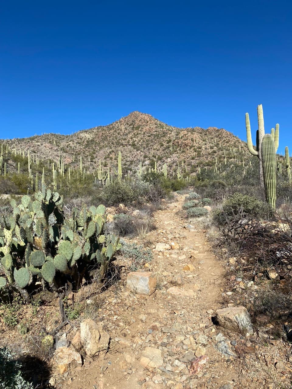
This is a real uphill effort, with uneven rock, natural steps, and loose gravel on sections of the climb and descent. Walkers often mention the loose footing and find poles helpful, especially coming back down. The desert terrain is open to the sun, so heat can make the climb feel harder than the mileage suggests. The park warns that strenuous activity in extreme heat is hazardous and recommends one gallon of water per person per day.

Take time at the topWasson Peak stands at 4,687 feet and is the highest point in the Tucson Mountains.

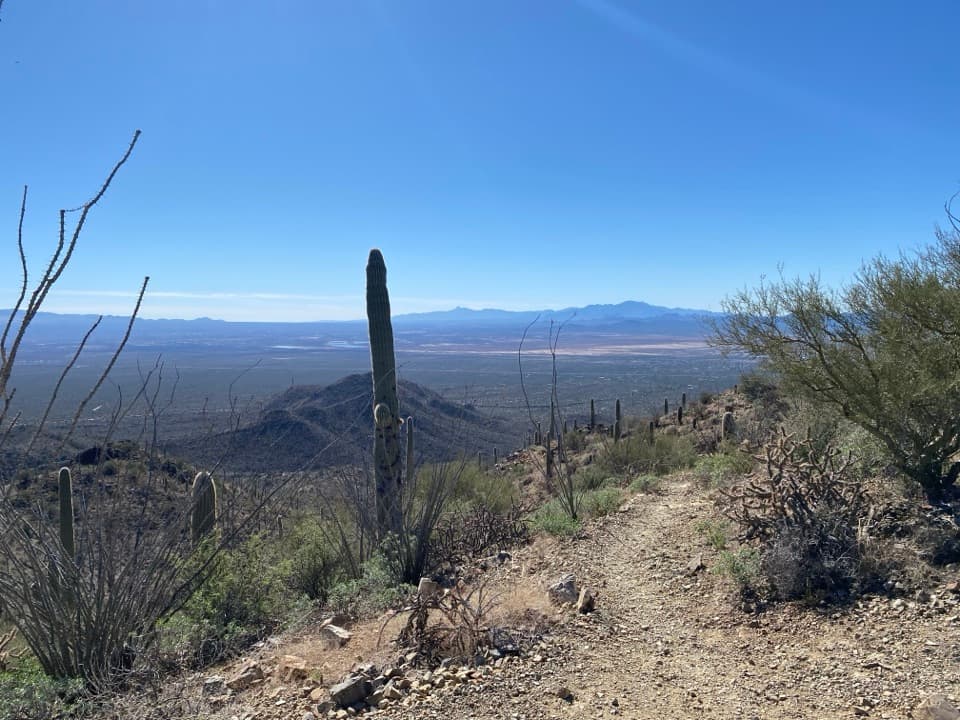
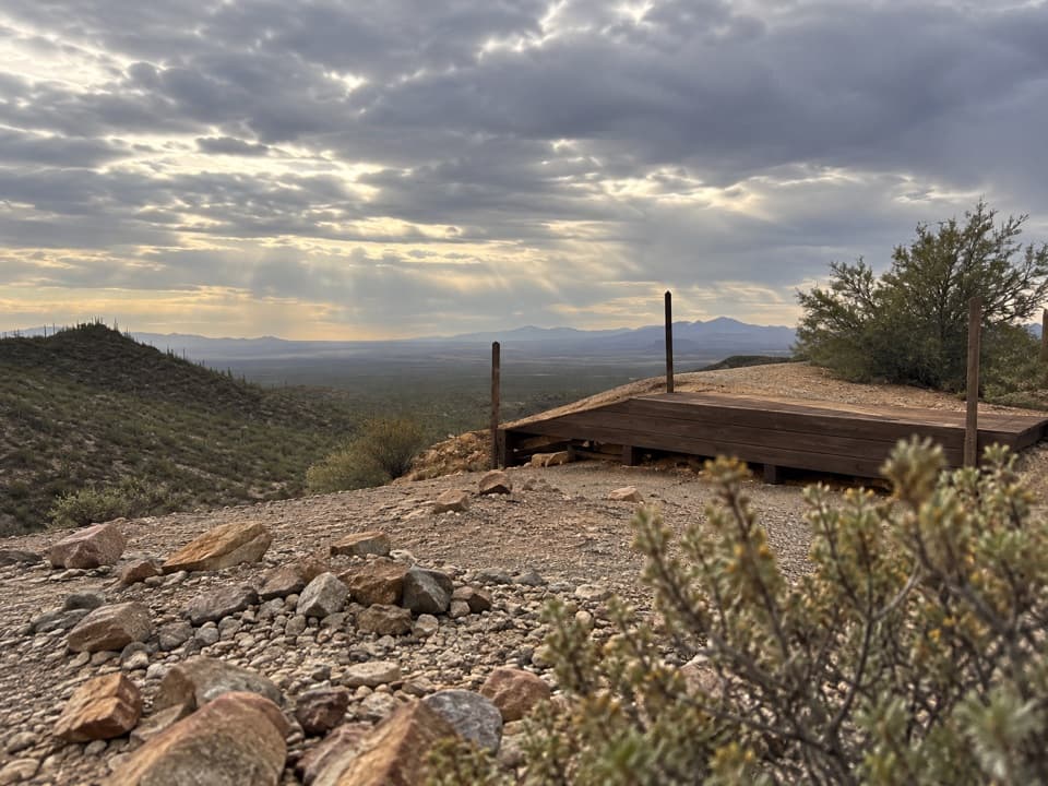
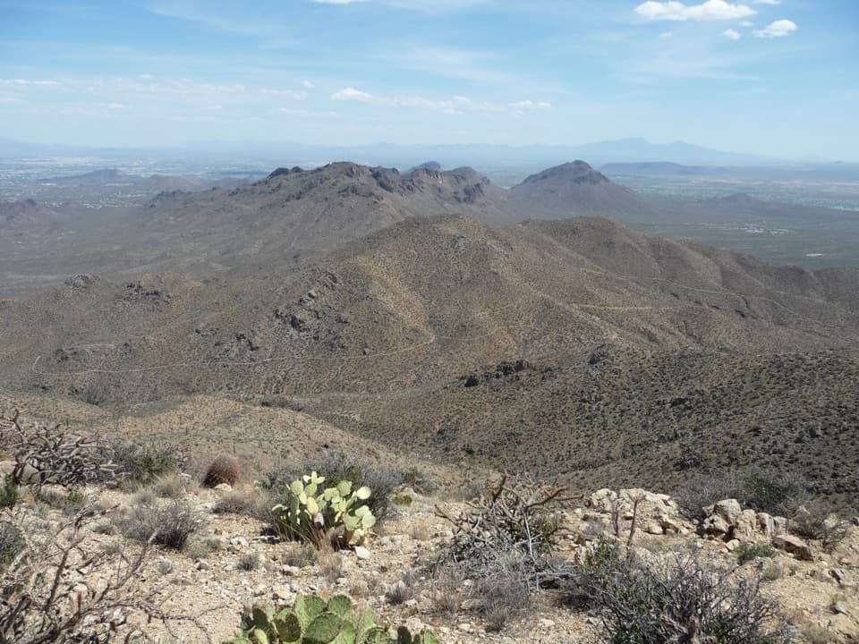
Wasson Peak stands at 4,687 feet and is the highest point in the Tucson Mountains. The broad summit gives you the full reason for the climb: a 360-degree sweep over Tucson, the desert valleys, and the surrounding peaks. Give yourself a few minutes to look around before heading down; the view changes as you turn, and the rocky trail below makes a good foreground for a wide desert frame.

Ancient lakebed and volcanic rockThe first mile crosses dinosaur-age red beds with arkose deposits from the bottom of an ancient…

The first mile crosses dinosaur-age red beds with arkose deposits from the bottom of an ancient lake. Higher up, the rugged bedrock from Gates Pass toward Wasson Peak is Cat Mountain Tuff, formed by volcanic eruptions roughly 70 to 75 million years ago. The climb is a good one for noticing the change from canyon wash and sedimentary rock to the harder volcanic slopes.

Saguaros and flowersSaguaros and other Sonoran Desert plants fill the lower slopes.

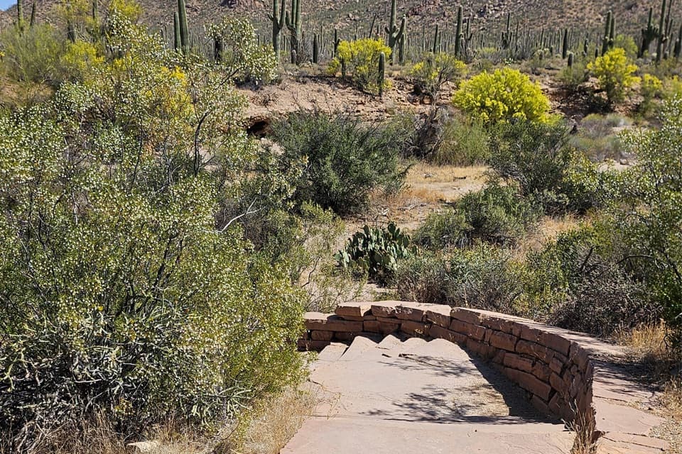
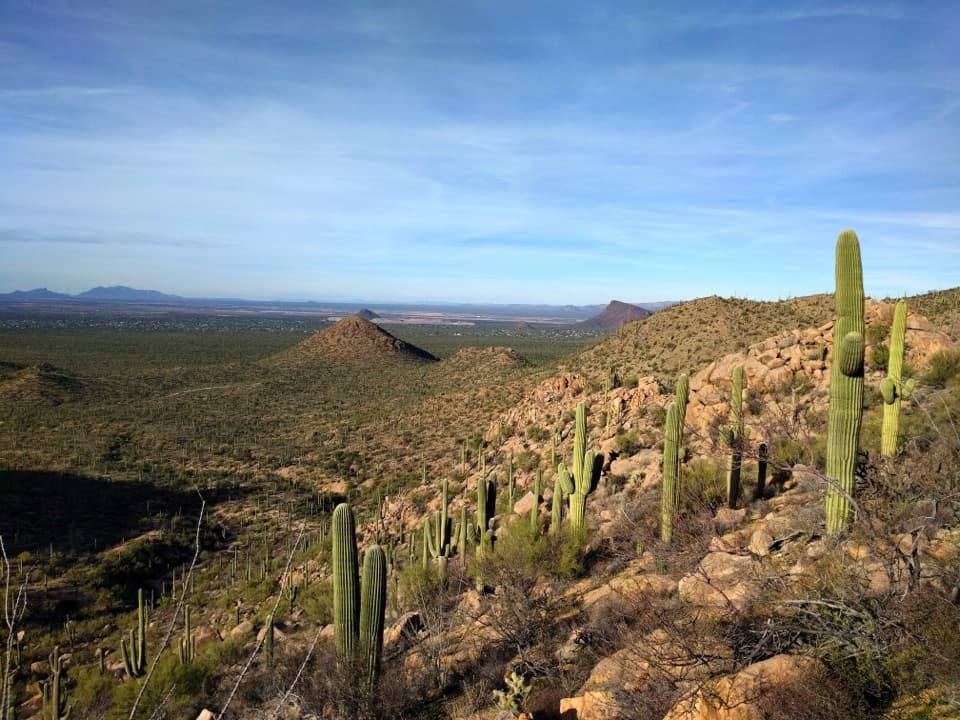
Saguaros and other Sonoran Desert plants fill the lower slopes. Owl clover and Mexican goldpoppies have been noted along King Canyon, but there is no guaranteed bloom window, so treat flowers as a bonus rather than a reason to plan around a particular week. The scenery is strongest when you look back across the cactus forest as you gain the ridge.

Trailhead and rulesKing Canyon Trailhead and its parking area sit across Kinney Road from the Arizona-Sonora…

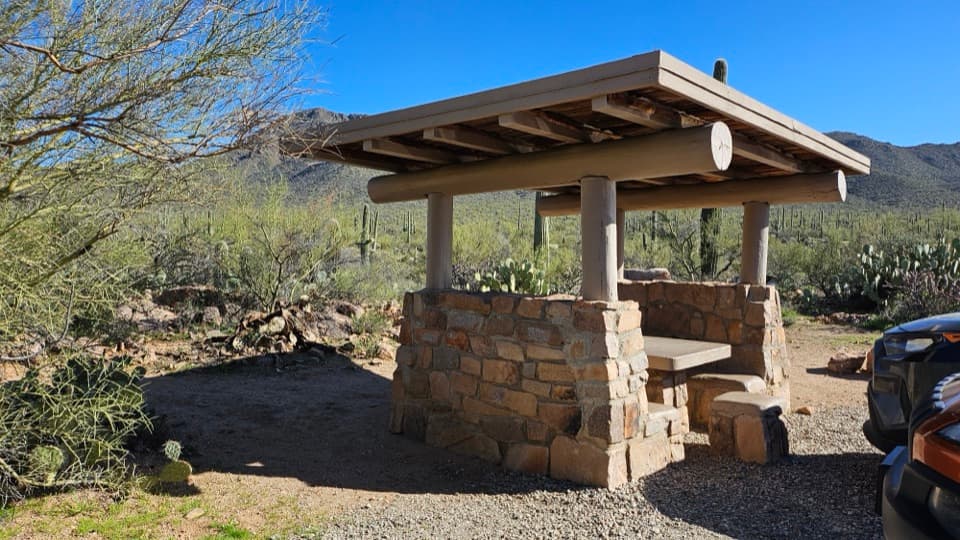
King Canyon Trailhead and its parking area sit across Kinney Road from the Arizona-Sonora Desert Museum, in Tucson Mountain Park just outside Saguaro National Park. Benches, cellular signal, and auto and bus/RV parking are listed there; toilets and drinking water were not listed. The hike enters Saguaro, where anyone age 16 or older entering on foot needs an individual park entrance pass. Pets are prohibited on park trails, and livestock are barred above the Sweetwater junction.

Wildlife

Wildlife in Saguaro

All Saguaro wildlife maps

Sighting maps show where each species has been reported across Saguaro. Wildlife moves, so no sighting is guaranteed.

Keep exploring

Near King Canyon Trail to Wasson Peak

See it all on the map

Trails that start nearby

Places near the trailhead

Parkwolf’s Saguaro ranking

Top-rated trails in Saguaro

All 74 trails
  1. 1Wasson Peak via King Canyon and Gould Mine LoopChallenging · 7.8 mi
  2. 2Hugh Norris Trail to Wasson PeakChallenging · 10 mi
  3. 3Bridal Wreath Falls TrailModerate · 5.9 mi
  4. 5Valley View Overlook Nature TrailEasy · 0.8 mi
  5. 6Freeman Homestead TrailEasy · 1 mi
  6. 7Tanque Verde Ridge Trail to Tanque Verde PeakChallenging · 17.4 mi

Take Parkwolf to Saguaro.

The audio tour guide for the drive, plus offline maps, trails, and wildlife heatmaps for when the signal drops.

4.7 from 8,600+ ratings

Download Parkwolf on the App StoreGet Parkwolf on Google Play