
Place · 3.1 mi away
Moderate
If you’re after a quiet, workout‑worthy slice of the Arizona Trail (AZT) with classic Sonoran Desert vibes, the Quilter Trail delivers. The singletrack runs roughly 4.4–4.6 miles one way, climbing from desert grassland into the Rincon foothills. Most hikers reach it via the flat, wide Hope Camp Trail from the Camino Loma Alta Trailhead, adding about 2.2–2.3 miles before the actual climb begins. Plan your day around that approach: an out-and-back to the Manning Camp Trail junction is roughly 13–16 miles total depending on where you turn around.
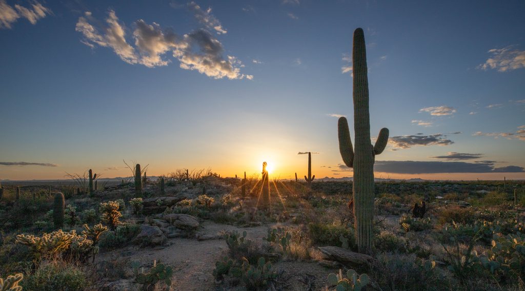
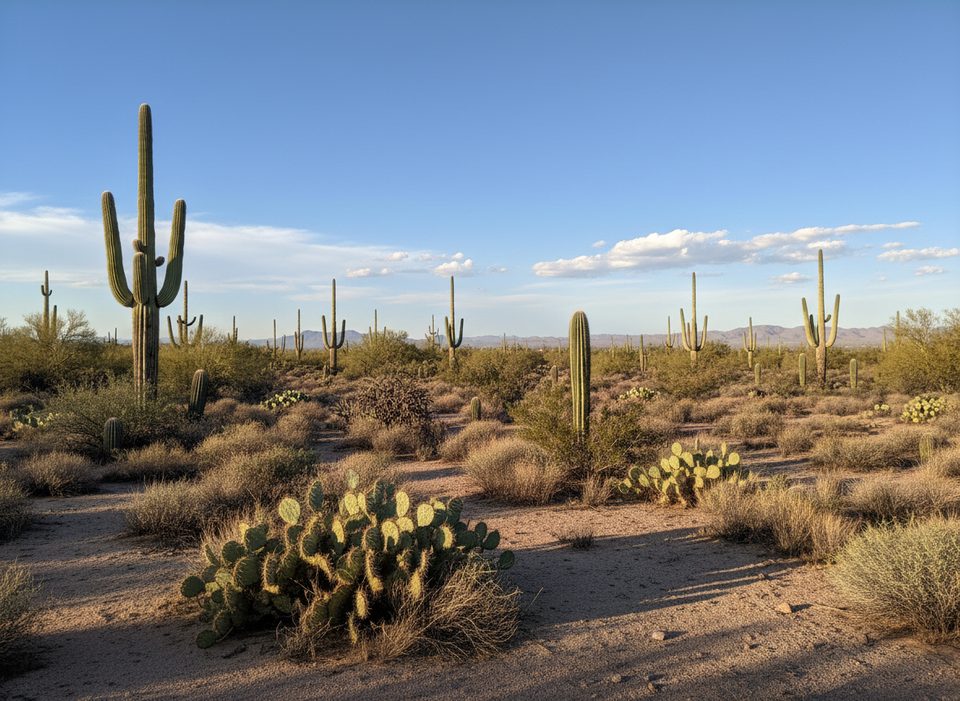
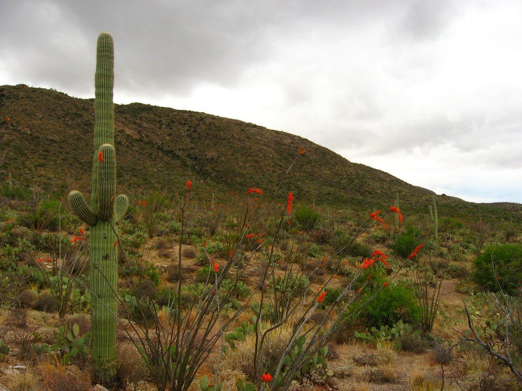
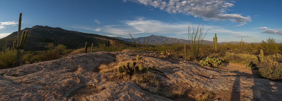
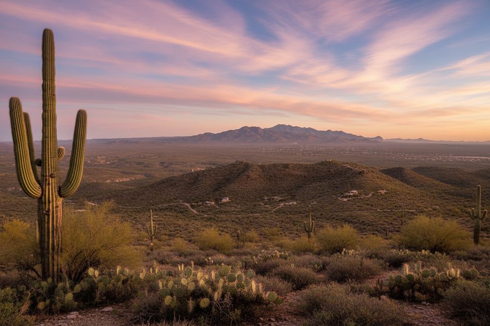
From the signed junction, Quilter starts moderately through prickly pear, ocotillo, and towering saguaros. After about 1.5 miles, the grade steepens into a stout switchback mile before easing into rolling terrain to the Manning Camp Trail junction. Expect natural desert tread with some fine, powdery sand in spots and several drainage crossings. It’s a true wilderness corridor—quiet, no bikes, and a good place to find your rhythm.
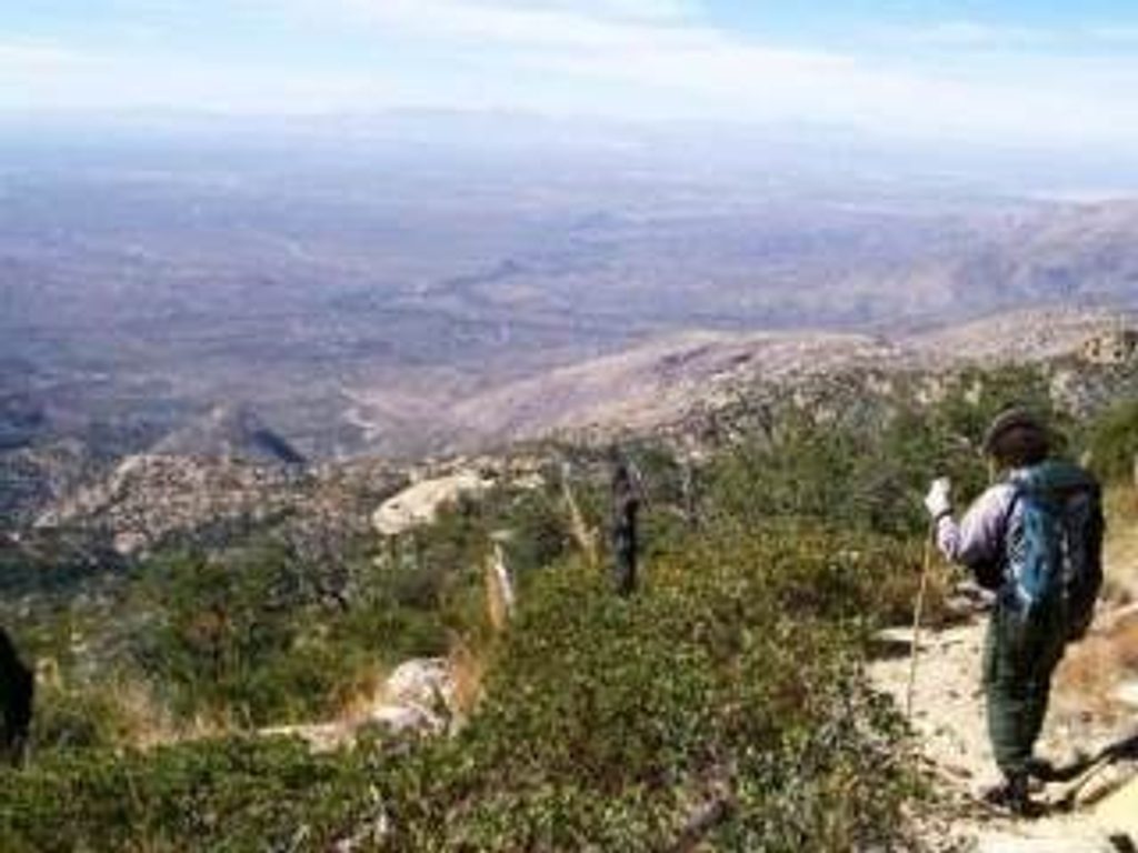
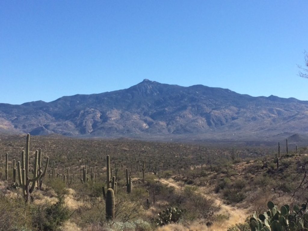
You’ll earn big views: Rincon Peak and Helen’s Dome to the east, the Rincon Valley and X9 Ranch to the south, and even Mount Wrightson on clear days. The saguaro show is strong here—keep an eye out for crested individuals if you’re lucky. The Hope Camp approach has a “get there” feel, but it does pass a photogenic old windmill.
Park at the Camino Loma Alta Trailhead (end of Old Spanish Trail). There’s no restroom, and the common vehicle gate toward Manning Camp/X9 Ranch is closed to the public—hikers use Hope Camp Trail to reach Quilter. The junctions are well signed. A park entrance fee or pass is required.
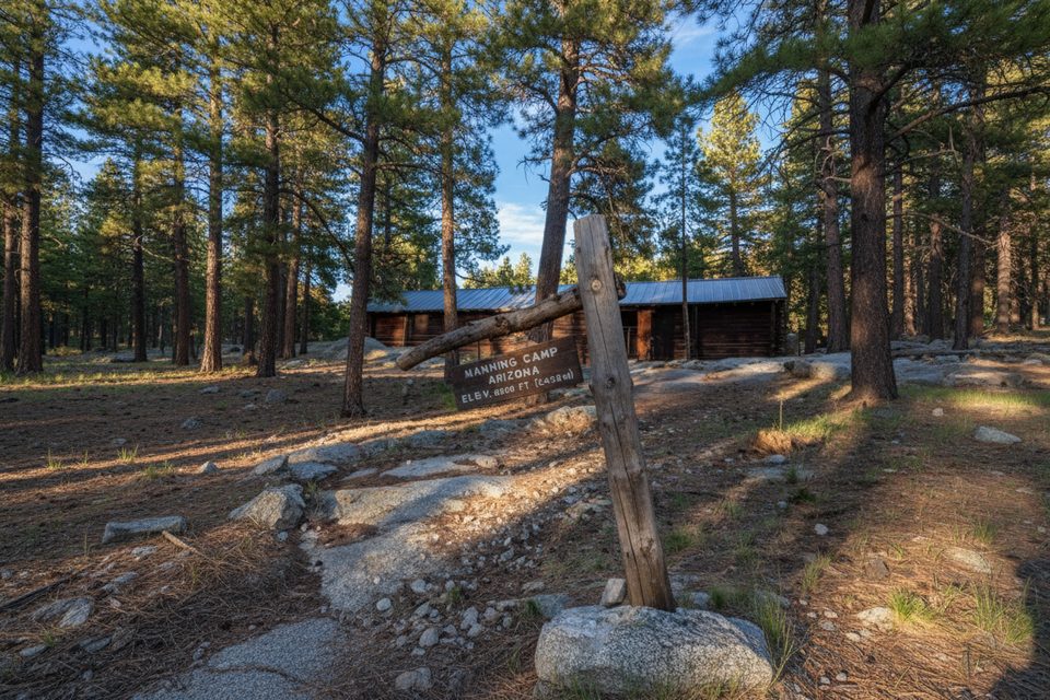
Do not count on water. Seasonal flow is sometimes present near the wilderness boundary along Quilter, but plan to carry everything you need—especially in warm months. Backcountry camping is by reservation at designated sites farther in (e.g., Grass Shack about 3 miles beyond the junction, or Manning Camp). No camping along Quilter itself.
Cooler months (late fall through early spring) are best. Start early for softer light on the saguaros and to beat heat on that steep middle mile. Summer monsoon can bring fast‑building storms, slick surfaces, and rampant trail overgrowth—expect brushy sections and rattlesnakes after wet periods. Weekdays see very light traffic.
Length recap: Quilter Trail is about 4.4–4.6 miles one way with ~1,200–1,300 feet of gain; reaching it adds ~2.2–2.3 miles each way on Hope Camp Trail.
Park at Camino Loma Alta Trailhead at the end of Old Spanish Trail; hike ~2.2–2.3 mi on Hope Camp Trail to the signed Quilter junction. No restroom at the trailhead; entrance fee or pass required.
Hot, exposed desert with limited water; carry more than you think you need. Steep, sandy switchbacks demand careful footing. Post‑monsoon overgrowth can obscure tread and increase rattlesnake encounters. Wilderness rules apply (no dogs, no bikes). Navigation is signed but carry a map/GPS if continuing beyond the junction.
Place · 3.1 mi away
Place · 3.4 mi away
Place · 3.7 mi away
Place · 3.7 mi away
Challenging · 0 mi away
Easy · 0 mi away
Easy · 0 mi away
Moderate · 0 mi away

Parkwolf Tour Guide
