Admiration Point in Sequoia National Park

Sight · Sequoia National Park

Admiration Point

A cable-guarded marble ledge above Marble Falls and Deep Canyon.

Type
Sight
Nearest trail
1.6 mi
Audio stories
14 nearby
  • Scenic viewpoint

Hear the audio tour

Eleven Range Overlook

Overview

About Admiration Point

Why stop

  • A dramatic, close view of Marble Falls and Deep Canyon

Heads up

  • Long, rough approach and a highly exposed outcrop

Map

Where it is

Loading the Sequoia map
Full map
SightAdmiration Point36.55114, -118.79845
Keep this map with you offline in the Parkwolf app

Plan your stop

Before you go

8 active Sequoia alerts

  • ClosureCrystal Cave Road closed for the seasonMentions Crystal Cave Road, referenced in this guideCrystal Cave Road is closed for the season, so visitors cannot drive to the cave parking area; it is expected to reopen in spring 2027.Official details
  • CautionStage 1 fire restrictionsStage 1 fire restrictions are in effect due to high fire danger and catastrophic-wildfire risk; the restrictions reduce the possibility of accidental human-caused fires that could threaten visitors…Official details
See all 8 alerts
A park ranger sits on a dash-mounted phone, talking, as Parkwolf’s Tour Guide plays “Army Cutworm Moths: A Grizzly Bear Buffet” on Grand Loop Road below Dunraven Pass in Yellowstone
Parkwolf Tour GuideThe highest, rockiest slopes around here are a summer buffet for grizzly bears.

Sequoia Tour Guide

Your drive to Admiration Point, narrated.

Parkwolf is a GPS audio tour guide for Sequoia National Park. As you drive, it chimes in with what’s ahead: hidden gems, upcoming stops, history, geology, and wildlife, right through your car’s speakers.

See the Sequoia audio tour

Recorded for this area

Eleven Range Overlook
0:00 / 0:20
“You're approaching Eleven Range Overlook, a quick roadside stop looking across Kaweah Canyon toward the San Joaquin Valley.”

Plays on the road 0.6 mi from Admiration Point in the Parkwolf Sequoia Tour Guide.

More stories near here in the app

  • The Crystals in the Granite
  • Water That Makes Caverns
  • The Squirrel Behind the Cone Scales
  • Amphitheater Point
  • 71 audio storiesacross Sequoia’s roads, triggered by GPS as you drive
  • Wildlife heatmapsfor Black Bear, Mountain Lion, Bobcat, and 13 more
  • Works offlinemaps, 99 trails, 68 places, and audio download before you lose signal
  • CarPlay readysimple controls built for the drive
★★★★★
“…The kids and my husband and I all agree that the narration really added to our experience driving through the parks. We learned so much about the history and the flora & fauna.”
JessestblondeApp Store review
Download Parkwolf on the App StoreGet Parkwolf on Google Play

4.7 from 8,600+ ratings

Guide

More about Admiration Point

Go for the view, if the route suits youAdmiration Point is a pale marble outcrop high above Deep Canyon, looking toward Marble Falls…

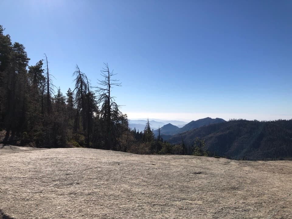
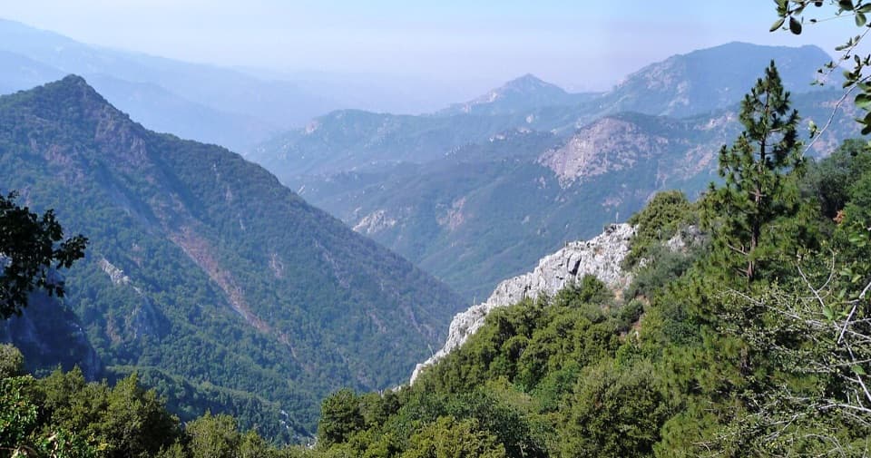
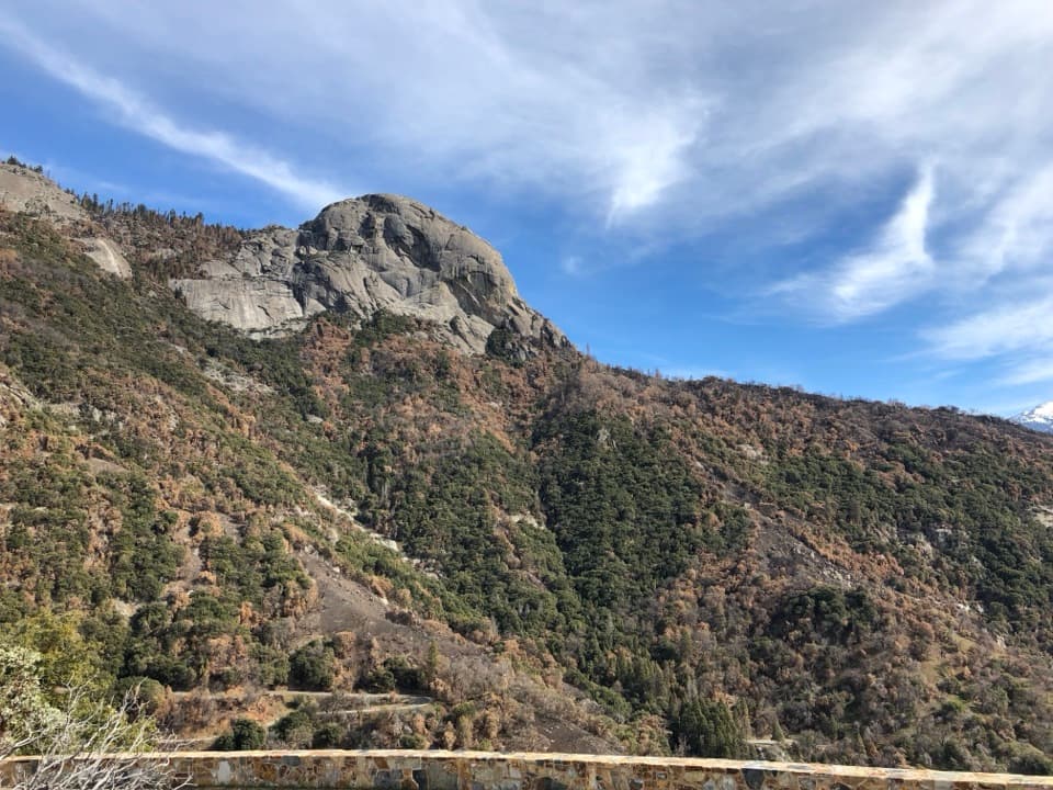
Admiration Point is a pale marble outcrop high above Deep Canyon, looking toward Marble Falls and the western edge of the Giant Forest Plateau. It is a remote hiking destination for people comfortable with a difficult, exposed route, not a quick pullout. The documented Crystal Cave Road approach is 5.8 miles round trip with about 1,800 feet of climbing, including a steep descent to the point that has to be climbed back out. The North Fork and Crystal Cave Road approaches are distinct; check current park trail conditions and confirm your route before setting out.

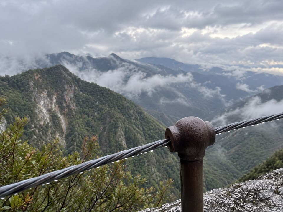
At the edgeA cable rail borders the outcrop above a sheer drop of about 1,000 feet.

A cable rail borders the outcrop above a sheer drop of about 1,000 feet. Marble Falls spills through Deep Canyon below, and on a clear day Moro Rock stands out on the far edge of the plateau. You can hear the falls from the point. For a photo that shows the drop, keep a little pale marble and the cable in the foreground, then frame out across the canyon.

A road built for a very different planThe approach follows Colony Mill Road, a historic roadbed built by the Kaweah Cooperative…

The approach follows Colony Mill Road, a historic roadbed built by the Kaweah Cooperative Colony between 1886 and 1890 to reach the sequoias of Giant Forest for logging. Sequoia became a national park in 1890, ending the colony’s plan; the park later kept and extended the road as its route to Giant Forest.

Expect a rough approachThe old roadbed crosses shaded forest, but the path is overgrown and sparsely maintained in…

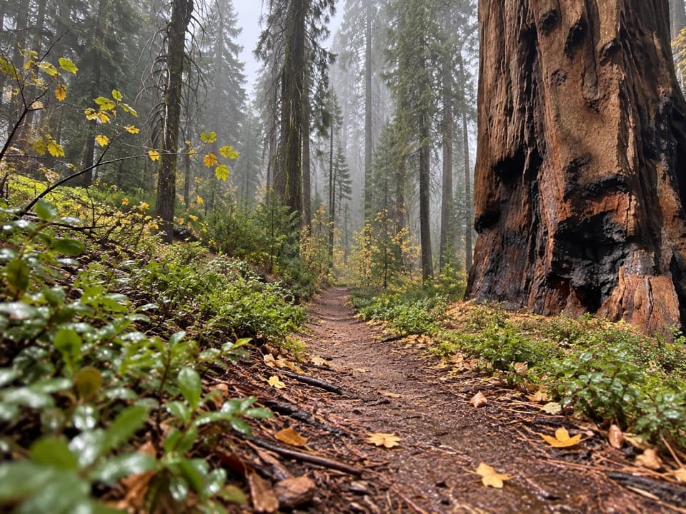
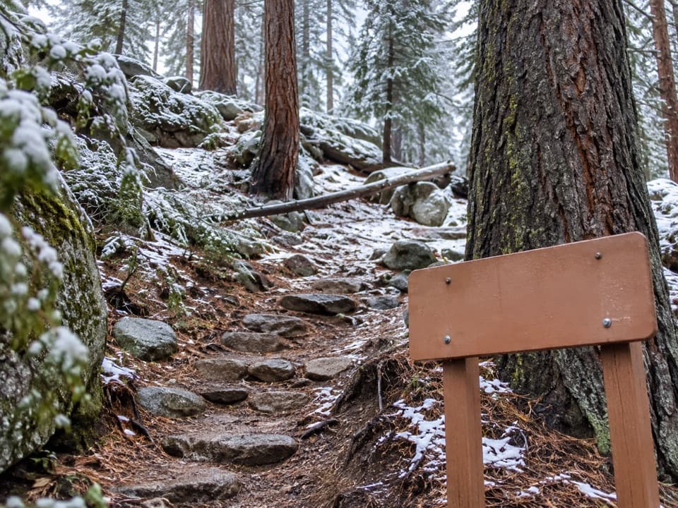
The old roadbed crosses shaded forest, but the path is overgrown and sparsely maintained in places. Near the outcrop it drops steeply, so expect brush, uneven footing, and a demanding climb back up. The viewpoint itself is highly exposed even with cables at the edge. Bring the food and water you need for the hike and keep an eye out for ticks in brushy sections.

Wildlife

Wildlife in Sequoia

All Sequoia wildlife maps

Sighting maps show where each species has been reported across Sequoia. Wildlife moves, so no sighting is guaranteed.

Keep exploring

Near Admiration Point

See it all on the map

Trails nearby

More stops nearby

Parkwolf’s Sequoia ranking

Top sights in Sequoia

All 68 places
  1. 1General Sherman TreeSight
  2. 2Moro RockSight
  3. 3Crystal CaveSight
  4. 4Crescent MeadowSight
  5. 5Tokopah FallsSight
  6. 6Tunnel LogSight

Take Parkwolf to Sequoia.

The audio tour guide for the drive, plus offline maps, trails, and wildlife heatmaps for when the signal drops.

4.7 from 8,600+ ratings

Download Parkwolf on the App StoreGet Parkwolf on Google Play