Soldiers Trail in Sequoia National Park

Sequoia National Park, CA

Soldiers Trail

A short, steep sequoia walk ending at Moro Rock parking.

Length
1.6mi
Time
1.3hr
Elev. change
315ft
Difficulty
Moderate
  • No dogs
  • High point 6,864 ft

Hear the audio tour

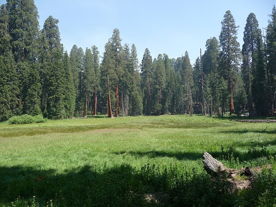
Giant Forest Museum and Round Meadow

Overview

About Soldiers Trail

Why go

  • A steep climb, mature sequoias, and a forest shaped by fire and storms in a short walk.
  • Ends at Moro Rock parking, so it pairs easily with a separate summit visit.

Heads up

  • It is one-way, so you need a return plan.
  • The opening climb is steep, and there are two road crossings.

Map & elevation

The route

Loading the Sequoia map
Full map
Elevation6,549–6,864 ft
TrailheadAlta Trail junction near Old Bear Hill Road36.56141, -118.76470
Keep this map with you offline in the Parkwolf app

Plan your hike

Before you go

Parking

Park at Giant Forest Museum and follow Alta Trail to the junction near Old Bear Hill Road, where Soldiers Trail begins. The route ends at Moro Rock parking; the seasonal shuttle connects that lot with the museum when operating, otherwise arrange a pickup or return route.

Safety

The steep dirt climb comes early. The route crosses Crescent Meadow Road twice, including near Tunnel Log; watch for vehicles.

8 active Sequoia alerts

  • CautionStage 1 fire restrictionsStage 1 fire restrictions are in effect due to high fire danger and catastrophic-wildfire risk; the restrictions reduce the possibility of accidental human-caused fires that could threaten visitors…Official details
  • ClosureGrant Grove trails and areas closed for prescribed burnSome trails and areas around Grant Grove and the General Grant Tree are closed for safety during a prescribed burn and until they are cleared of hazards.Official details
See all 8 alerts
A park ranger sits on a dash-mounted phone, talking, as Parkwolf’s Tour Guide plays “Army Cutworm Moths: A Grizzly Bear Buffet” on Grand Loop Road below Dunraven Pass in Yellowstone
Parkwolf Tour GuideThe highest, rockiest slopes around here are a summer buffet for grizzly bears.

Sequoia Tour Guide

Your drive to Soldiers Trail, narrated.

Parkwolf is a GPS audio tour guide for Sequoia National Park. As you drive, it chimes in with what’s ahead: hidden gems, upcoming stops, history, geology, and wildlife, right through your car’s speakers.

See the Sequoia audio tour

Recorded for this area

Giant Forest Museum and Round Meadow
0:00 / 0:37
“You're approaching Giant Forest Museum, a small museum in the grove's former market building. Start with the hands-on sequoia exhibits, then step outside to Sentinel Tree.”

Plays on the road 0.5 mi from the trailhead in the Parkwolf Sequoia Tour Guide.

More stories near here in the app

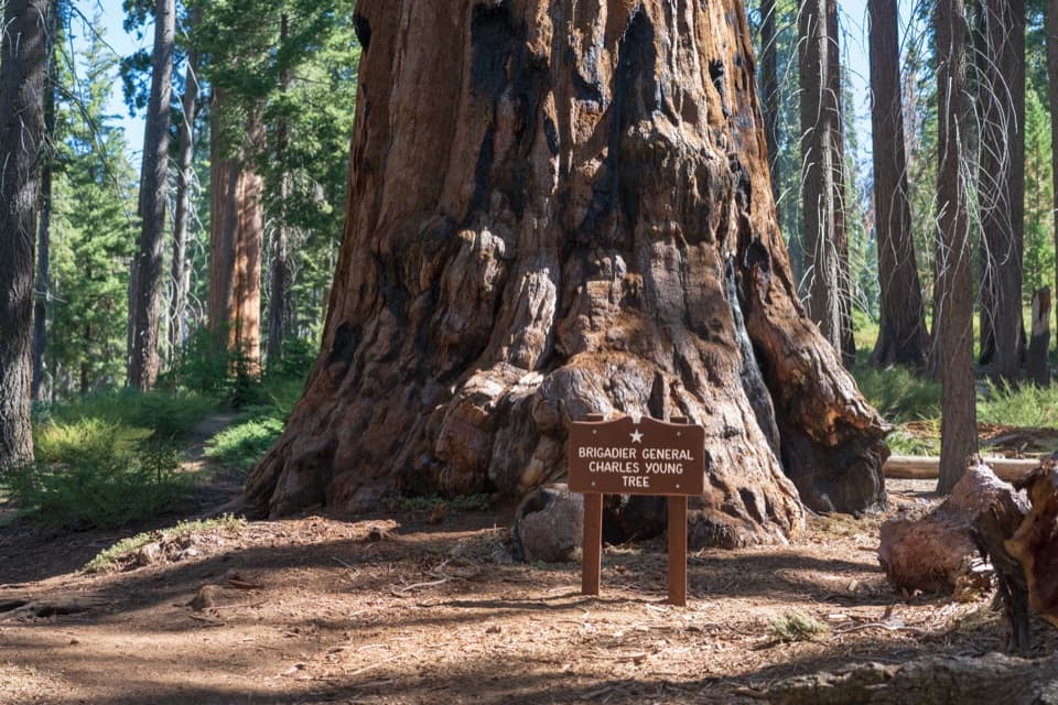
  • Auto Log and the Washington and Young Trees
  • Tunnel Log
  • Parker Group and Buttress Tree
  • Pinewood Picnic Area
  • 71 audio storiesacross Sequoia’s roads, triggered by GPS as you drive
  • Wildlife heatmapsfor Black Bear, Mountain Lion, Bobcat, and 13 more
  • Works offlinemaps, 99 trails, 68 places, and audio download before you lose signal
  • CarPlay readysimple controls built for the drive
★★★★★
“…The kids and my husband and I all agree that the narration really added to our experience driving through the parks. We learned so much about the history and the flora & fauna.”
JessestblondeApp Store review
Download Parkwolf on the App StoreGet Parkwolf on Google Play

4.7 from 8,600+ ratings

Trail guide

Hiking Soldiers Trail

What this walk isSoldiers Trail is a 1.

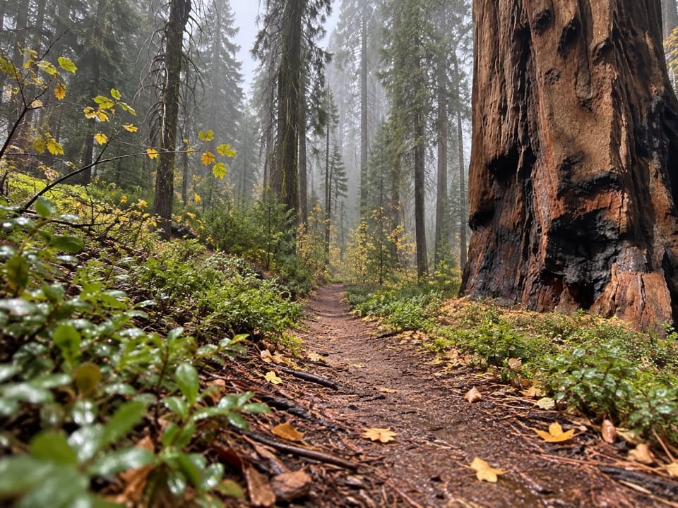
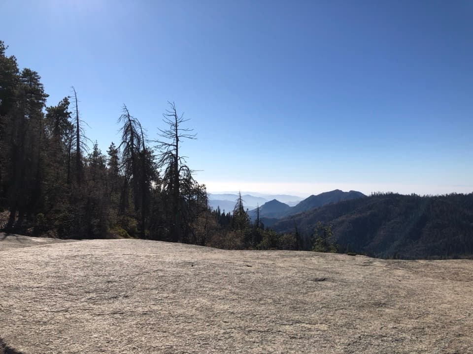
Soldiers Trail is a 1.6-mile one-way walk from the Alta Trail junction near Old Bear Hill Road to the Moro Rock parking area. It crosses the Giant Forest through mature sequoias, then drops toward Tunnel Log and the Moro Rock road. It is a good short choice if you want a quieter stretch among the big trees without making the summit stairs the whole outing. Plan for the point-to-point finish; retracing it makes a 3.2-mile walk.

The climb and descentThe first third-mile climbs steeply, gaining about 270 feet on dirt singletrack.

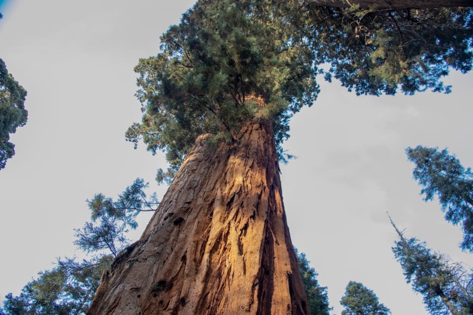
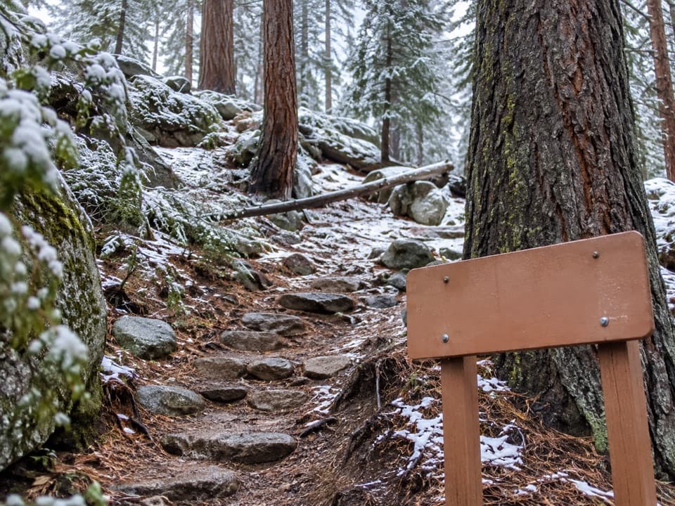
The first third-mile climbs steeply, gaining about 270 feet on dirt singletrack. Mature giant sequoias line this uphill stretch. After the crest, the trail drops down the far side and eases as it approaches Crescent Meadow Road. The route is short, but the opening climb makes it more than a casual stroll; allow about 60 to 90 minutes for this one-way walk.

Cross the road carefullyThe trail crosses Crescent Meadow Road near Tunnel Log, continues through the forest, then…

The trail crosses Crescent Meadow Road near Tunnel Log, continues through the forest, then crosses the road again and climbs toward the Roosevelt Tree before dropping to the Moro Rock lot. Watch for vehicles at both crossings. Tunnel Log is a fallen sequoia with a drive-through opening; you pass the visitor area, but the road crossing is part of the hike.

A bit of park historyThe Army built Soldiers Trail while patrolling and protecting the park from 1891 to 1913.

The Army built Soldiers Trail while patrolling and protecting the park from 1891 to 1913. Soldiers Camp was established in 1911, and the path cut a shorter walk between the camp and the visitor area than following the road. The forest here shows the effects of fire and storms too: alongside living trees, you'll see fallen and damaged sequoias.

Getting backThe route ends at Moro Rock parking; the summit stairway is a separate hike.

The route ends at Moro Rock parking; the summit stairway is a separate hike. To finish near Giant Forest Museum, you can retrace Soldiers Trail or use the return by Bear Hill or Moro Rock trails. A seasonal shuttle also serves the Moro Rock parking area from the museum when it is running. Pets aren't allowed on park trails.

Wildlife

Wildlife in Sequoia

All Sequoia wildlife maps

Sighting maps show where each species has been reported across Sequoia. Wildlife moves, so no sighting is guaranteed.

Keep exploring

Near Soldiers Trail

See it all on the map

Trails that start nearby

Places near the trailhead

Parkwolf’s Sequoia ranking

Top-rated trails in Sequoia

All 99 trails
  1. 1Congress TrailEasy · 2.7 mi
  2. 2General Sherman Tree TrailModerate · 1 mi
  3. 3Moro Rock TrailModerate · 0.5 mi
  4. 4High Sierra TrailChallenging · 48.9 mi
  5. 5Mount Whitney TrailChallenging · 22 mi
  6. 6Lakes Trail to Pear LakeChallenging · 12.8 mi

Take Parkwolf to Sequoia.

The audio tour guide for the drive, plus offline maps, trails, and wildlife heatmaps for when the signal drops.

4.7 from 8,600+ ratings

Download Parkwolf on the App StoreGet Parkwolf on Google Play