Parking
Use the Giant Forest Museum Upper Parking Lot across Generals Highway. Two designated accessible spaces are close to the path start, on a moderate incline. Restrooms and a bottle-filling station are outside the museum across the road.

Sequoia National Park, CA
A short approach to westward views and a final granite climb.
Overview
Map & elevation
Plan your hike

The highest, rockiest slopes around here are a summer buffet for grizzly bears.
Sequoia Tour Guide
Parkwolf is a GPS audio tour guide for Sequoia National Park. As you drive, it chimes in with what’s ahead: hidden gems, upcoming stops, history, geology, and wildlife, right through your car’s speakers.
See the Sequoia audio tourRecorded for this trailhead
Giant Forest Museum and Round Meadow“You're approaching Giant Forest Museum, a small museum in the grove's former market building. Start with the hands-on sequoia exhibits, then step outside to Sentinel Tree.”
Plays as you drive up to this trailhead in the Parkwolf Sequoia Tour Guide.
More stories near here in the app
“…The kids and my husband and I all agree that the narration really added to our experience driving through the parks. We learned so much about the history and the flora & fauna.”


Trail guide
Beetle Rock Trail is a quick out-and-back from the Giant Forest Museum Upper Parking Lot to an open granite overlook. The mapped path is about 0.08 mile each way; this row records 0.16 mile round trip to the rock edge. Some route descriptions give a quarter mile, depending on how much walking on the granite they include. Allow about 15–20 minutes, plus any time you spend exploring the rock. A separate 1.1-mile loop from the museum uses connecting paths, so don’t confuse that longer circuit with this direct approach.
Start across Generals Highway in the Giant Forest Museum Upper Parking Lot. Two designated accessible spaces sit close to the start of the short, sloped paved path; both spaces are on an incline. The pavement ends at the granite. There are no stairs or marked tread onto the rock, so reaching the top means climbing over bare stone. An outdoor panel on the approach explains the haze visible over the valley. Restrooms and a water-bottle filling station are outside the museum across the road. Pets aren’t allowed on park trails. Bears are active around this area, so use the food-storage boxes in the lot.
From the top, the view opens across the park’s western edge and the San Joaquin Valley; on clear days you can see the coastal range. Haze often softens the distance, and the wayside exhibit explains the air pollution visible below. This is a good short sunset stop when you’re already nearby, though the far ridges may disappear in haze. Leave a little granite in the foreground if you take a photo; it gives the wide valley view a sense of scale.
Look down between views and you’ll find small trees growing in cracks in the granite. With little soil, water, or nutrients, they stay small but hold on in their rock niches.
Wildlife
 691 sightingsBlack BearMost seen around 6 PMSighting map
 17 sightingsMountain LionMost seen around 6 AMSighting map
 18 sightingsBobcatMost seen around 7 PMSighting map
 24 sightingsCoyoteMost seen around 7 PMSighting map
 15 sightingsGolden EagleMost seen around 11 AMSighting map
 20 sightingsSpotted OwlMost seen around 7 PMSighting map
Sighting maps show where each species has been reported across Sequoia. Wildlife moves, so no sighting is guaranteed.
Keep exploring
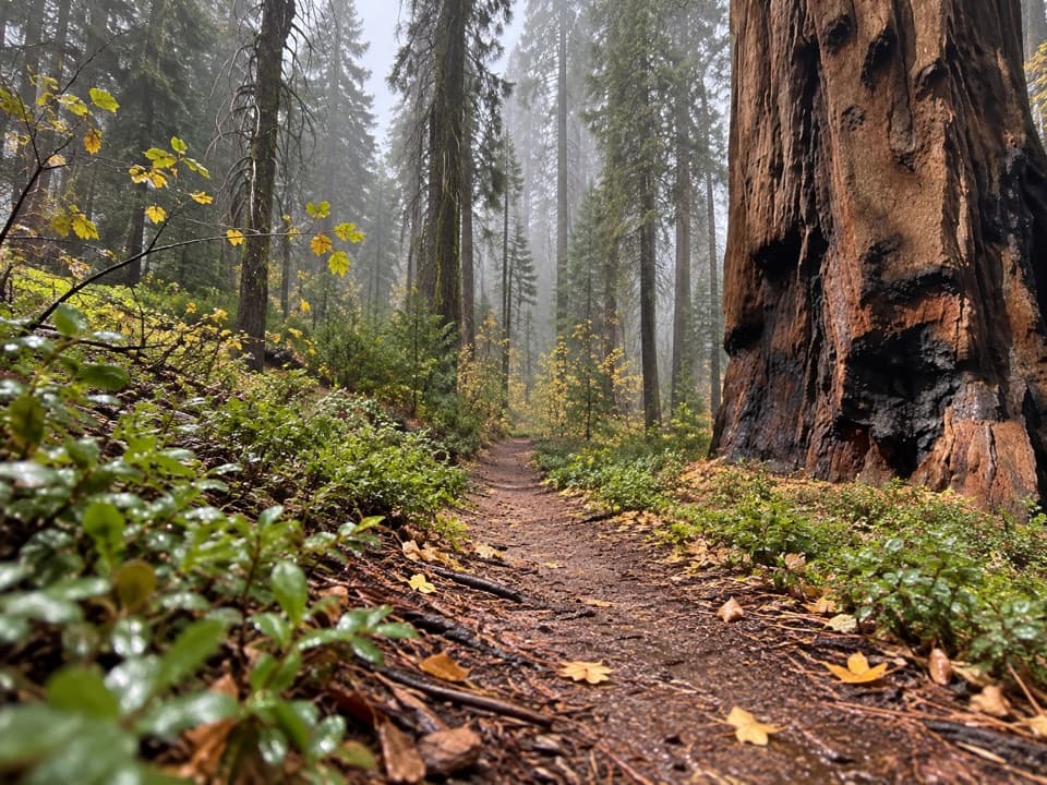 ModerateBear Hill Trail1.7 mi · 1.5 hr · 0.1 mi awayA steep first climb leads through giant sequoias to Hanging Rock.
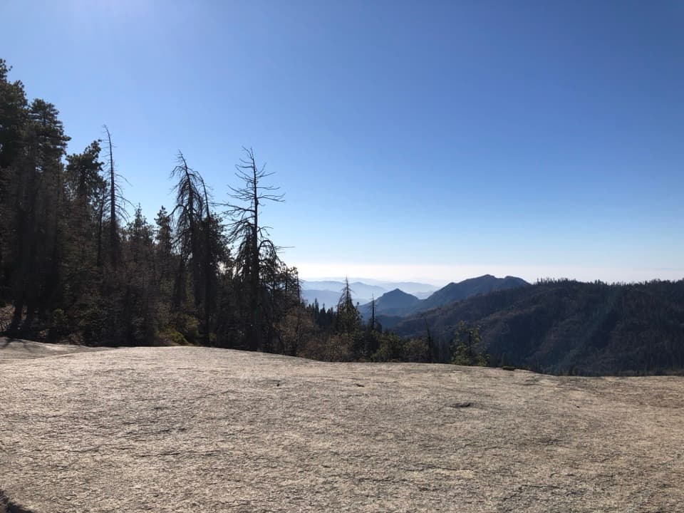 EasySunset Rock Trail1.4 mi · 1.5 hr · 0.1 mi awayA granite sunset perch over the forested Kaweah canyon
 EasyBig Trees Trail0.7 mi · 1 hr · 0.3 mi awayA gentle circuit beneath sequoias, with the meadow at your feet.
 EasyHuckleberry Trail Loop4 mi · 2.5 hr · 0.5 mi awayA sequoia forest loop linking two meadows and a historic cabin.
 EasyHazelwood Nature Trail0.5 mi · 36 min · 0.5 mi awayA short loop for sequoias, meadow plants, and a creek footbridge.
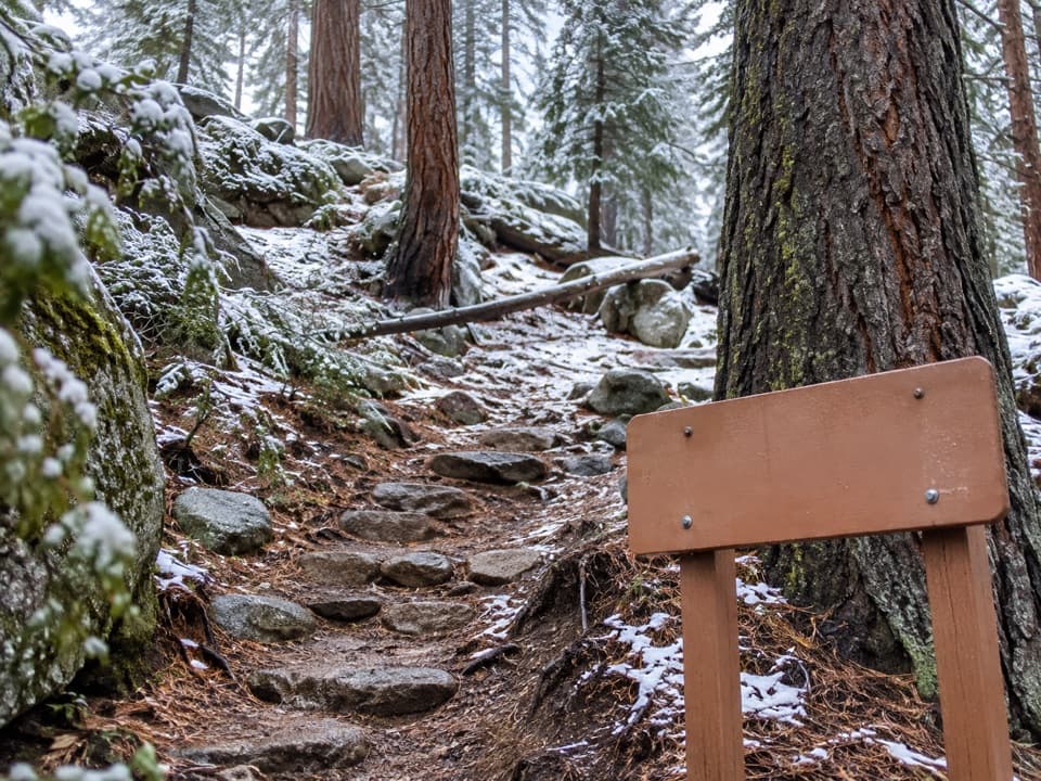 ModerateSoldiers Trail1.6 mi · 1.3 hr · 0.6 mi awayA short, steep sequoia walk ending at Moro Rock parking.
 EasyWashington Tree Trail1 mi · 45 min · 0.8 mi awayA short forest walk to a sequoia with a turbulent past.
 EasyHanging Rock Trail0.3 mi · 30 min · 1.1 mi awayA perched boulder on open granite above the Kaweah Valley.
 Sight · 0.1 mi awaySentinel TreeA sidewalk ruler makes a giant sequoia's height click.
 Visitor center · 0.1 mi awayGiant Forest MuseumA quick sequoia primer with grove trails right outside.Sight · 0.1 mi awayBeetle RockA short granite lookout with a beetle's 1905 backstory.
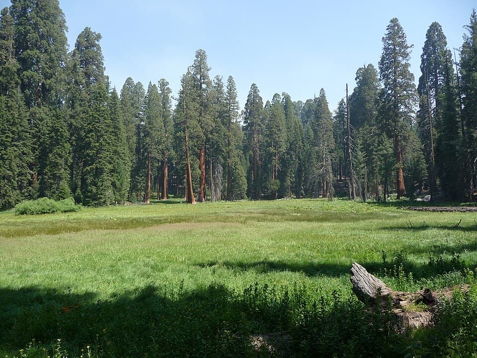 Sight · 0.4 mi awayRound MeadowAn easy paved loop, with meadow views framed by giant sequoias.
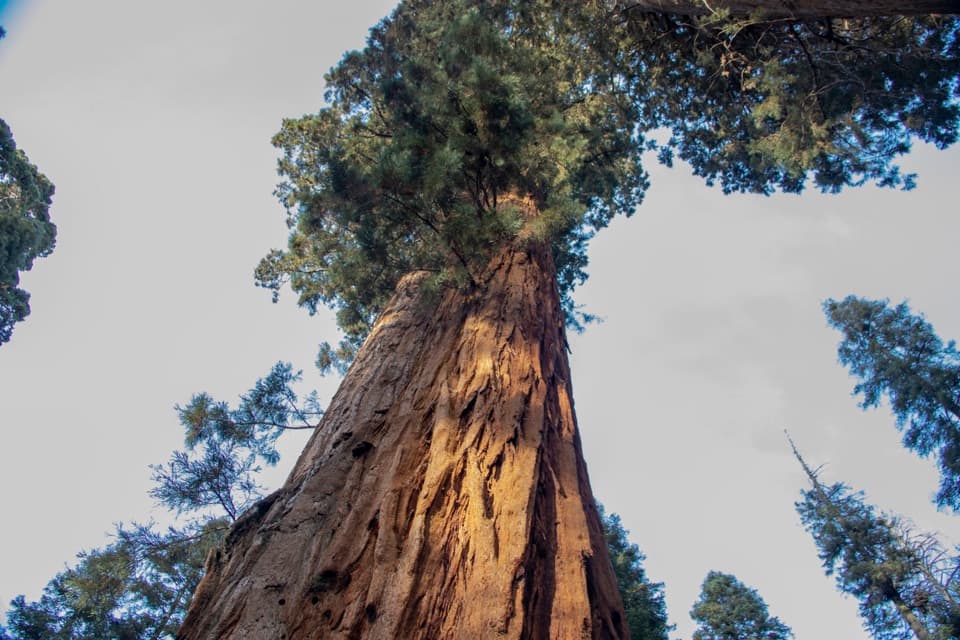 Sight · 0.7 mi awayBooker T. Washington TreeA 1903 dedication links this sequoia to two Black leaders.
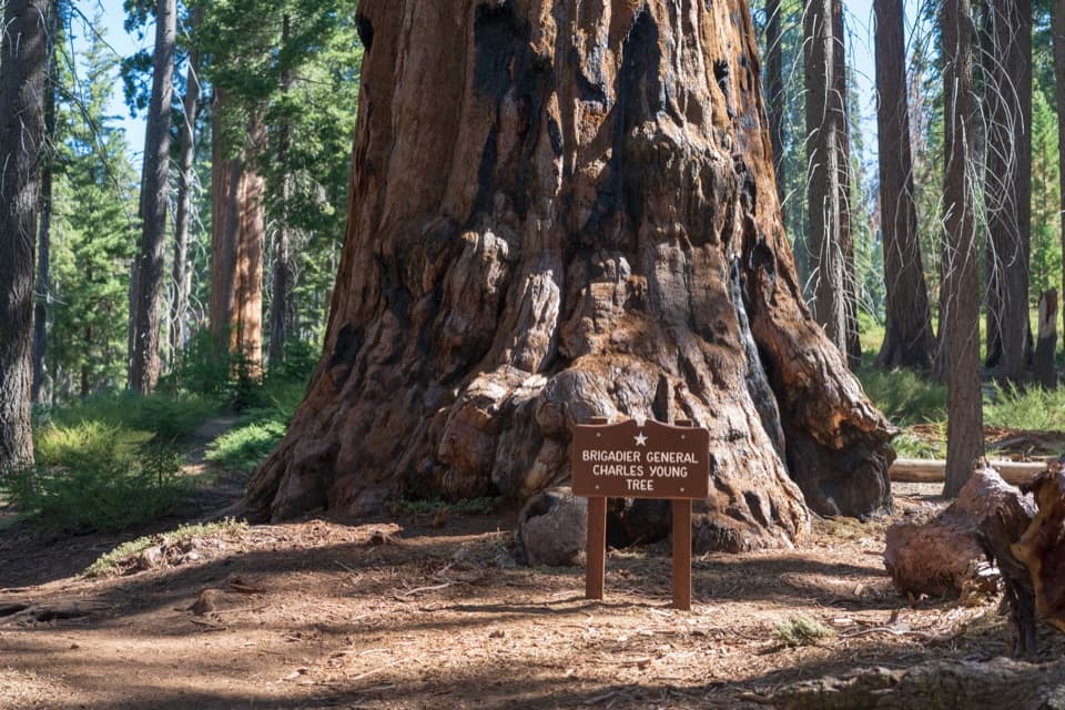 Sight · 0.7 mi awayBrigadier General Charles Young TreeA century-late tribute to a Buffalo Soldier and park builder.
 Sight · 0.8 mi awaySunset RockA short forest walk to open granite above the Kaweah canyon.
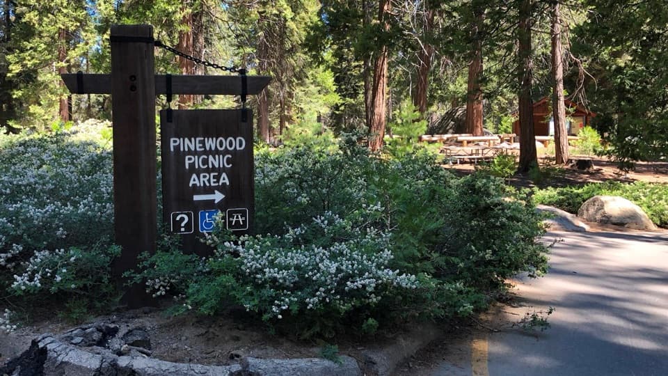 Picnic area · 0.8 mi awayPinewood Picnic AreaA shaded lunch break between Giant Forest and Lodgepole.
Parkwolf’s Sequoia ranking

The audio tour guide for the drive, plus offline maps, trails, and wildlife heatmaps for when the signal drops.





