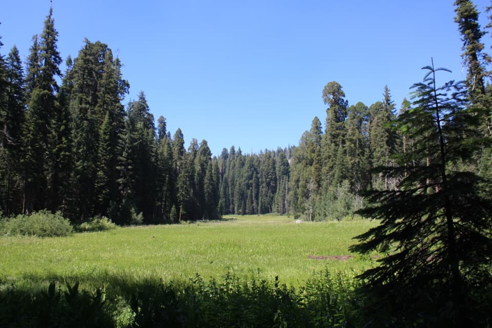
Winter access
The tree stands beside Moro Rock / Crescent Meadow Road. In winter, visitors must hike, snowshoe, or ski into this area; check park road conditions before setting out.

Sight · Sequoia National Park
A fallen giant sequoia with an astonishingly broad root plate.
Overview
Map
Plan your stop

The highest, rockiest slopes around here are a summer buffet for grizzly bears.
Sequoia Tour Guide
Parkwolf is a GPS audio tour guide for Sequoia National Park. As you drive, it chimes in with what’s ahead: hidden gems, upcoming stops, history, geology, and wildlife, right through your car’s speakers.
See the Sequoia audio tourRecorded for this place
Parker Group and Buttress Tree“You're nearing the Parker Group, eight giant sequoias standing close together beside Crescent Meadow Road. This is a good brief stop to walk among the trunks and look at their fire scars.”
Plays as you drive up to Buttress Tree in the Parkwolf Sequoia Tour Guide.
More stories near here in the app
“…The kids and my husband and I all agree that the narration really added to our experience driving through the parks. We learned so much about the history and the flora & fauna.”


Guide
Along Moro Rock / Crescent Meadow Road in the Giant Forest area, the Buttress Tree is a fallen giant sequoia with a huge exposed root plate and long trunk. If you are already driving this road, stop to look at the roots from different sides; that is the unusual part of the visit.
The tree fell without warning on June 3, 1959. The on-site sign gives its length as 272 feet, base diameter as 20 feet, and estimated age as 2,300 years. Its roots show how a sequoia can be broad-rooted but shallow: they can extend up to 300 feet outward but rarely grow deeper than 12 feet. For a photo, frame the twisted root plate with the fallen trunk extending across the scene; a straight-on close-up hides the tree’s length.
Wildlife
 691 sightingsBlack BearMost seen around 6 PMSighting map
 17 sightingsMountain LionMost seen around 6 AMSighting map
 18 sightingsBobcatMost seen around 7 PMSighting map
 24 sightingsCoyoteMost seen around 7 PMSighting map
 15 sightingsGolden EagleMost seen around 11 AMSighting map
 20 sightingsSpotted OwlMost seen around 7 PMSighting map
Sighting maps show where each species has been reported across Sequoia. Wildlife moves, so no sighting is guaranteed.
Keep exploring
 EasyHanging Rock Trail0.3 mi · 30 min · 0.2 mi awayA perched boulder on open granite above the Kaweah Valley.
 ModerateMoro Rock Trail0.5 mi · 1 hr · 0.3 mi awayA short, steep stairway to a sweeping Great Western Divide panorama.
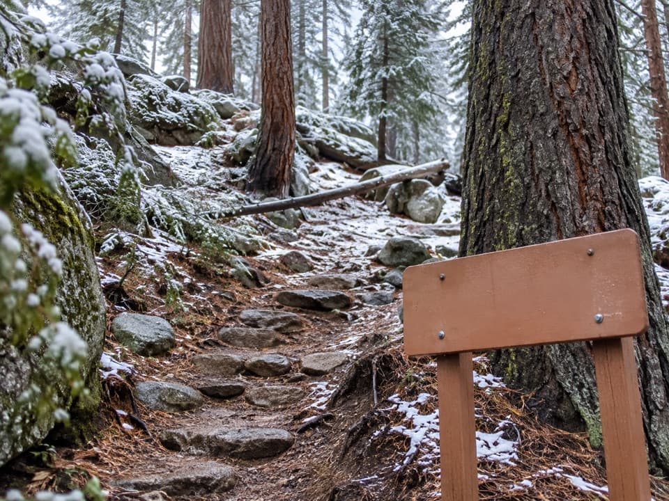 ModerateSoldiers Trail1.6 mi · 1.3 hr · 0.8 mi awayA short, steep sequoia walk ending at Moro Rock parking.
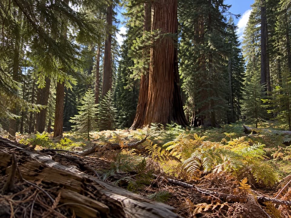 EasyCrescent Meadow Loop1.4 mi · 1 hr · 1 mi awayA short loop where giant sequoias frame Crescent Meadow.
 EasyEagle View Trail1.5 mi · 1.5 hr · 1 mi awayA short climb from Crescent Meadow to a sweeping Sierra view.
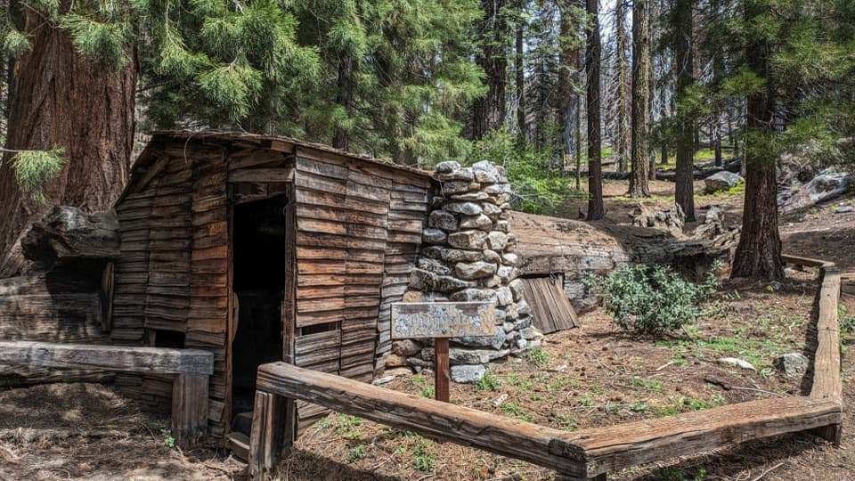 EasyLog Meadow Loop and Tharp’s Log1.8 mi · 1.5 hr · 1 mi awayA cabin built inside a fallen sequoia is the unusual payoff.
 ModerateBobcat Point Loop1.3 mi · 1 hr · 1 mi awayMorteros and a close Moro Rock view on a short loop.
 ModerateWolverton Cutoff Loop9.6 mi · 6 hr · 1 mi awayViews from a rocky outcrop lead into a quieter sequoia loop.
 Sight · 0.1 mi awayParker GroupEight sequoias, close enough to study their fire scars.
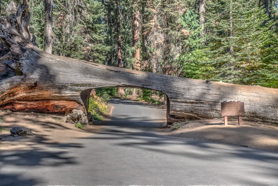 Sight · 0.3 mi awayTunnel LogDrive through a fallen giant sequoia on Crescent Meadow Road.
 Sight · 0.3 mi awayHanging RockA short climb opens a different view of Moro Rock.
 Sight · 0.3 mi awayAuto LogA fallen sequoia people once drove across.
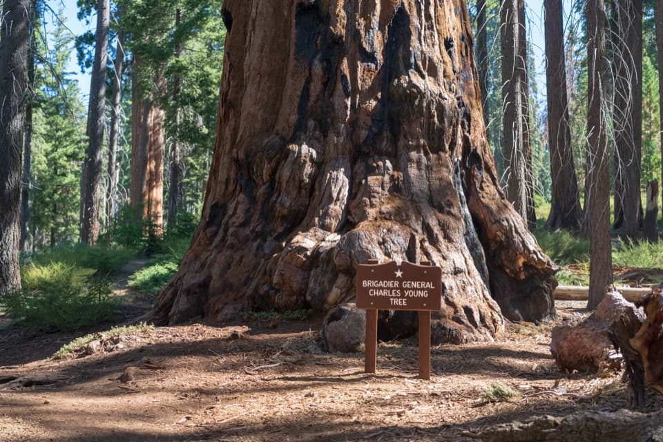 Sight · 0.4 mi awayBrigadier General Charles Young TreeA century-late tribute to a Buffalo Soldier and park builder.
 Sight · 0.5 mi awayMoro RockA short, steep stairway opens onto a full Sierra panorama.
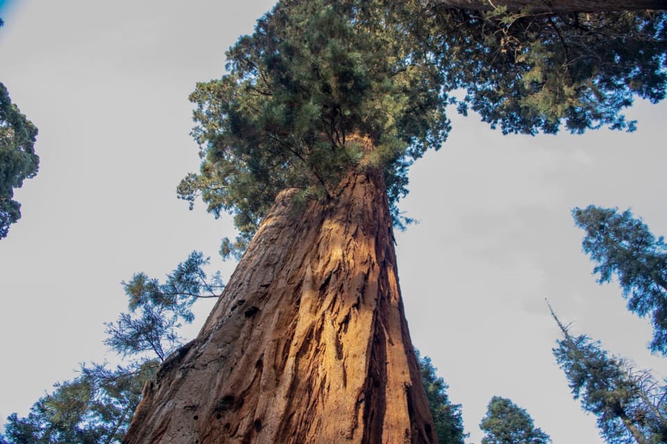 Sight · 0.5 mi awayBooker T. Washington TreeA 1903 dedication links this sequoia to two Black leaders.
 Sight · 0.8 mi awaySquatters CabinA tiny log cabin anchors a larger Kaweah Colony story.
Parkwolf’s Sequoia ranking

The audio tour guide for the drive, plus offline maps, trails, and wildlife heatmaps for when the signal drops.