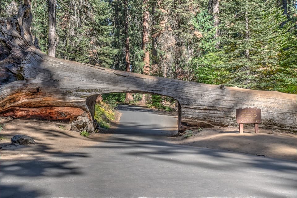
Bobcat Point Loop in Sequoia National Park

Sequoia National Park, CA

Bobcat Point Loop

Morteros and a close Moro Rock view on a short loop.

Length
1.3mi
Time
1hr
Elev. change
197ft
Difficulty
Moderate
  • Loop
  • No dogs
  • High point 6,781 ft
  • #44 of 99 in Sequoia

Hear the audio tour

Crescent Meadow and Tharp’s Log

Overview

About Bobcat Point Loop

Why go

  • Moro Rock and canyon views from Bobcat Point
  • A marked morteros spur beside Crescent Creek

Heads up

  • Rocky tread and a short climb back from the creek
  • The broader Kaweah Vista requires a faint off-trail path

Map & elevation

The route

Loading the Sequoia map
Full map
Elevation6,585–6,781 ft
TrailheadCrescent Meadow Parking Area36.55480, -118.74906
Keep this map with you offline in the Parkwolf app

Plan your hike

Before you go

Parking

Start at Crescent Meadow Parking Area at the end of Crescent Meadow Road, about three miles from Generals Highway. The same lot serves this short loop; do not start at Moro Rock unless you intend the longer variant. The road has a 22-foot vehicle-length limit and can close to vehicles under snow or ice; check current conditions before driving up.

Safety

The dirt-and-rock trail descends to Crescent Creek and climbs about 150 feet to Bobcat Point. The wider Kaweah Vista is reached by a faint unofficial path off the marked route and can be hard to relocate; the loop does not require it.

8 active Sequoia alerts

  • InfoGenerals Highway weekday hazard-tree removal delaysMentions Generals Highway, referenced in this guideExpect weekday delays of up to 30 minutes total on Generals Highway between Highway 180 and Giant Forest, 8 a.m.–5 p.m., while crews remove hazard trees; the highway remains open.Official details
  • CautionStage 1 fire restrictionsStage 1 fire restrictions are in effect due to high fire danger and catastrophic-wildfire risk; the restrictions reduce the possibility of accidental human-caused fires that could threaten visitors…Official details
See all 8 alerts
A park ranger sits on a dash-mounted phone, talking, as Parkwolf’s Tour Guide plays “Army Cutworm Moths: A Grizzly Bear Buffet” on Grand Loop Road below Dunraven Pass in Yellowstone
Parkwolf Tour GuideThe highest, rockiest slopes around here are a summer buffet for grizzly bears.

Sequoia Tour Guide

Your drive to Bobcat Point Loop, narrated.

Parkwolf is a GPS audio tour guide for Sequoia National Park. As you drive, it chimes in with what’s ahead: hidden gems, upcoming stops, history, geology, and wildlife, right through your car’s speakers.

See the Sequoia audio tour

Recorded for this area

Crescent Meadow and Tharp’s Log
0:00 / 0:33
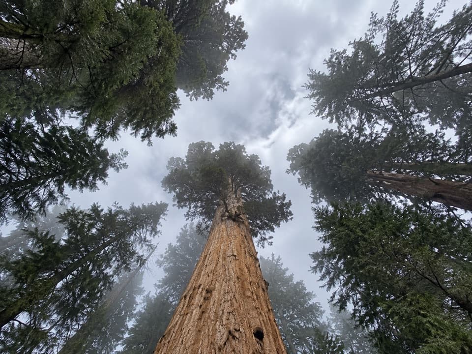
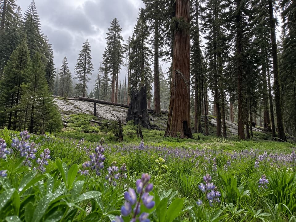
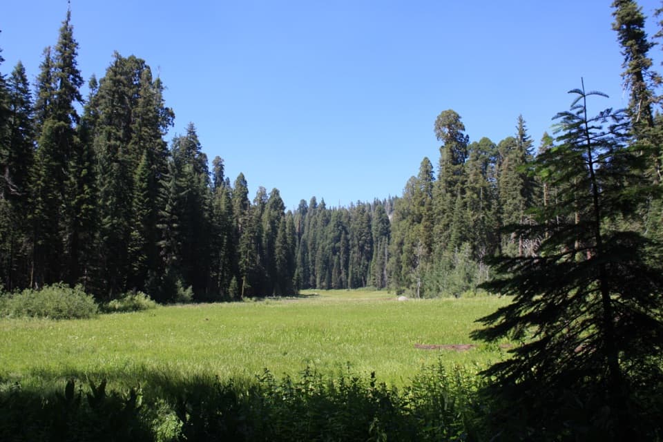
“Crescent Meadow is coming up, an open wetland ringed by giant sequoias, with picnic tables near the trailhead. Stop here if you'd like a gentler outing with room to see the red trunks against the meadow grass.”

Plays near this trailhead in the Parkwolf Sequoia Tour Guide.

More stories near here in the app

  • Tunnel Log
  • Parker Group and Buttress Tree
  • Moro Rock
  • Hanging Rock
  • 71 audio storiesacross Sequoia’s roads, triggered by GPS as you drive
  • Wildlife heatmapsfor Black Bear, Mountain Lion, Bobcat, and 13 more
  • Works offlinemaps, 99 trails, 68 places, and audio download before you lose signal
  • CarPlay readysimple controls built for the drive
★★★★★
“…The kids and my husband and I all agree that the narration really added to our experience driving through the parks. We learned so much about the history and the flora & fauna.”
JessestblondeApp Store review
Download Parkwolf on the App StoreGet Parkwolf on Google Play

4.7 from 8,600+ ratings

Trail guide

Hiking Bobcat Point Loop

A short loop from Crescent MeadowBobcat Point Loop is about 1.

Bobcat Point Loop is about 1.3 miles, a circuit from Crescent Meadow Parking Area on Sugar Pine Trail, Bobcat Point Trail, and a short return on High Sierra Trail. It drops to Crescent Creek, climbs to a granite outcrop facing Moro Rock across the canyon, then returns to the same lot. Allow about an hour if you stop at the creek, morteros, and viewpoint. Route descriptions range up to about 1.5 miles; this is the shorter Crescent Meadow circuit, with the morteros spur as a short optional out-and-back. The longer lollipop from Moro Rock is a different hike.

Follow the loop in this directionStart south on Sugar Pine Trail and stay right at the first marked fork toward Moro Rock.

Start south on Sugar Pine Trail and stay right at the first marked fork toward Moro Rock. Near the half-mile mark, turn sharply left onto Bobcat Point Trail. It drops to Crescent Creek, then climbs about 150 feet in a quarter mile to Bobcat Point. Continue east along the ridge; at the High Sierra Trail junction, turn left toward Crescent Meadow. At the Crescent Meadow Trail junction, turn left again to stay on High Sierra Trail and cross two wooden footbridges back to the lot.

Take the morteros spurA marked spur from Sugar Pine Trail leads to exposed granite beside Crescent Creek.

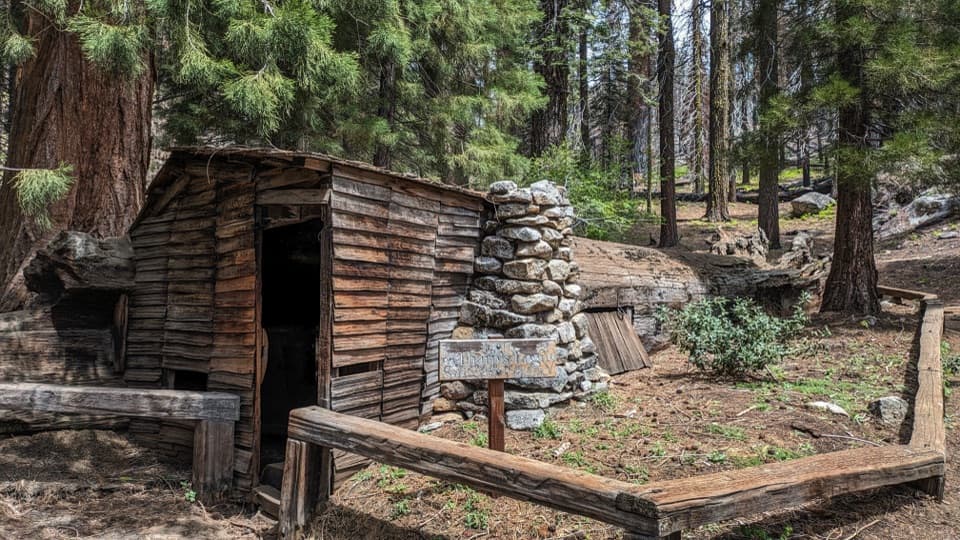
A marked spur from Sugar Pine Trail leads to exposed granite beside Crescent Creek. The shallow bowl-shaped morteros were used by Indigenous people to grind local nuts and seeds. The source does not establish a specific community or date. Retrace the spur to continue the loop; it is not part of the distance above.

The view from Bobcat PointThe point is a small granite outcrop, with Moro Rock rising across the canyon, Castle Rocks to…

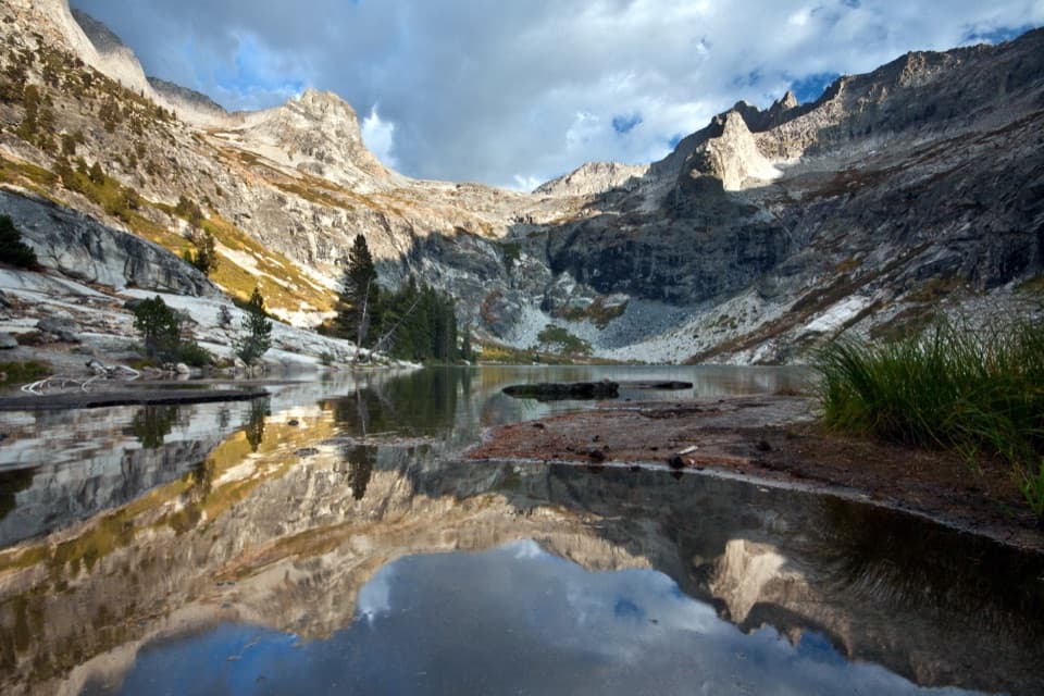
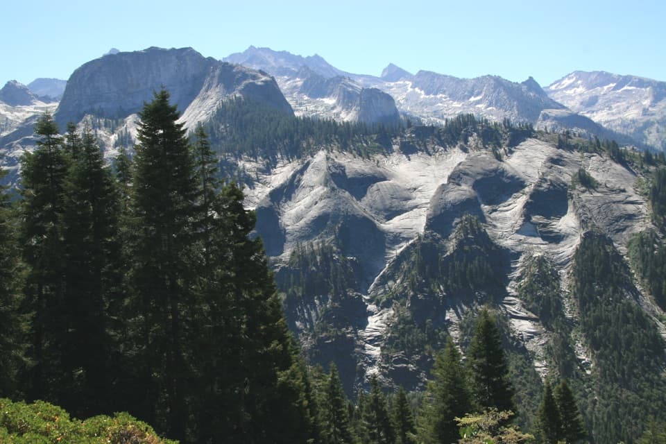
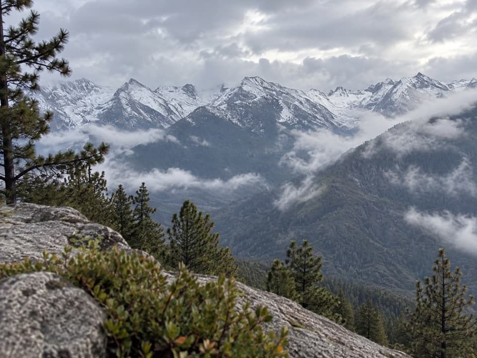
The point is a small granite outcrop, with Moro Rock rising across the canyon, Castle Rocks to the south, and the Middle Fork of the Kaweah far below. The ridge gives occasional eastward views toward the Great Western Divide. From the outcrop, frame Moro Rock with the forested slopes around it; that shows how the dome stands above the canyon rim.

Kaweah Vista is uncertainDescriptions place Kaweah Vista in different spots.

Descriptions place Kaweah Vista in different spots. The broader view some hikers seek is reached by leaving the marked tread for a faint path down a pine-needle slope. It is not needed for the loop and can be difficult to find again, so stay on Bobcat Point Trail if you want the straightforward circuit.

Footing and accessThis is a short moderate walk on dirt-and-rock singletrack, with a descent to the creek and a…

This is a short moderate walk on dirt-and-rock singletrack, with a descent to the creek and a brief climb to the point. Pets are prohibited on park trails; trained service dogs are permitted. Crescent Meadow Road reaches the lot from Generals Highway and has a 22-foot vehicle-length limit. The road can close to vehicles when covered with snow or ice, so check current road conditions before driving up.
Wildlife

Wildlife in Sequoia

All Sequoia wildlife maps

Sighting maps show where each species has been reported across Sequoia. Wildlife moves, so no sighting is guaranteed.

Keep exploring

Near Bobcat Point Loop

See it all on the map

Trails that start nearby

Places near the trailhead

Parkwolf’s Sequoia ranking

Top-rated trails in Sequoia

All 99 trails
  1. 1Congress TrailEasy · 2.7 mi
  2. 2General Sherman Tree TrailModerate · 1 mi
  3. 3Moro Rock TrailModerate · 0.5 mi
  4. 4High Sierra TrailChallenging · 48.9 mi
  5. 5Mount Whitney TrailChallenging · 22 mi
  6. 6Lakes Trail to Pear LakeChallenging · 12.8 mi

Take Parkwolf to Sequoia.

The audio tour guide for the drive, plus offline maps, trails, and wildlife heatmaps for when the signal drops.

4.7 from 8,600+ ratings

Download Parkwolf on the App StoreGet Parkwolf on Google Play