Parking
Park at South River Picnic Area on Skyline Drive near milepost 62.8. The South River Falls trailhead is below the picnic-ground comfort station; the circuit returns to this access.
Shenandoah National Park, VA
Four nights link waterfalls, mission ruins, and remote river trails.
Overview
Map & elevation
Plan your hike

The highest, rockiest slopes around here are a summer buffet for grizzly bears.
Shenandoah Tour Guide
Parkwolf is a GPS audio tour guide for Shenandoah National Park. As you drive, it chimes in with what’s ahead: hidden gems, upcoming stops, history, geology, and wildlife, right through your car’s speakers.
See the Shenandoah audio tourRecorded for this area
South River: Picnic Grounds and the Waterfall Overlook“You're coming up on South River Picnic Grounds, the starting point for South River Falls.”
Plays near this trailhead in the Parkwolf Shenandoah Tour Guide.
More stories near here in the app
“Fantastic app with many points of information… It’s great to just turn on while you’re driving and it gives you an audio tour of the national Park. We love it!!!!”


Trail guide
This is a 34–35-mile, four-night circuit for experienced backpackers. It starts at South River Picnic Area, visits South River Falls and the Pocosin Mission ruins, takes the Appalachian Trail north, then links Laurel Prong, Fork Mountain, Jones Mountain, Staunton River and Slaughter before returning to the same access. The National Park Service rates it Experienced. Expect long days with a loaded pack; two days approach nine miles. Campsite choice shifts the exact distance, especially on Slaughter Trail. A backcountry camping permit and a valid park entrance pass are required.
Start below the picnic-area comfort station and follow South River Falls Trail to the stone-walled overlook and waterfall. From there the route uses South River Fire Road to reach Pocosin Trail. The first night’s camp is on Pocosin Trail; on day two continue to Pocosin Mission, then climb Pocosin Fire Road to the AT. Follow the AT north for about 5.5 miles before turning onto Laurel Prong. Continue over Fork Mountain, then take Jones Mountain toward Staunton River.
From Staunton River, go upstream to Fork Mountain Fire Road. A short link on Fork Mountain Trail reaches Jones Mountain; then follow Cat Knob and Laurel Prong back to the AT. The Slaughter section is an out-and-back camp excursion: walk in to a permitted campsite, retrace the same trail to the AT, then return south to South River Picnic Area.
Staunton River is the route’s potential high-water crossing area. Do not attempt a swollen or flooding crossing; check current park conditions and the backcountry map before leaving. The route is remote: no food service or guaranteed water source along the circuit was confirmed, so plan for a self-supported trip and treat stream water. Campsites are dispersed, and their locations affect the day’s mileage. Shenandoah allows pets on this route with a physical leash no longer than six feet.
The ruins include part of a wooden structure, foundation walls and concrete steps. Pocosin Mission served the mountain community as one of the Episcopal mission sites along the Blue Ridge. Sources disagree whether it dates to 1904 or 1905, so the safest description is early 1900s. Leave the remains and any cemetery features undisturbed.
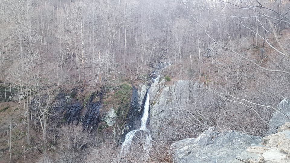
The opening stretch passes the stone-walled observation point before continuing to the base of the 83-foot waterfall. One stream crossing is part of the South River Falls trail segment. This is the route’s clearest photo stop: include the dark rock cleft around the falling water to show its scale.
Park at South River Picnic Area on Skyline Drive near milepost 62.8. The South River Falls trailhead is below the picnic-ground comfort station, and the loop returns to this access. This is a composite of blazed trails and forest roads, so carry a detailed backcountry map and watch each junction.
Wildlife
 325 sightingsBlack BearMost seen around 6 AMSighting map
 21 sightingsBald EagleMost seen around 10 AMSighting map
 1,036 sightingsWhite-tailed DeerMost seen around 7 PMSighting map
 167 sightingsWild TurkeyMost seen around 7 AMSighting map
 93 sightingsTimber RattlesnakeMost seen around 6 PMSighting map
 24 sightingsCoyoteMost seen around 6 AMSighting map
Sighting maps show where each species has been reported across Shenandoah. Wildlife moves, so no sighting is guaranteed.
Keep exploring
 ModerateSouth River Falls Base Loop4.6 mi · 3.5 hr · At the trailheadGo beyond the overlook to stand beneath an 83-foot, two-chute waterfall.
 ModerateSouth River Falls Circuit3.3 mi · 2.3 hr · At the trailheadWaterfall overlook, then a loop back by fire road and the A.T.ModerateSouth River Falls Observation Point2.6 mi · 1.5 hr · At the trailheadAn 83-foot waterfall overlook caps this 2.6-mile out-and-back.
 ChallengingPocosin Hollow and Slaughter Ridge Loop19.3 mi · 14 hr · At the trailheadThree-day loop past South River Falls, Pocosin ruins and a long ridgeModeratePocosin, Dry Run, and Saddleback Circuit12.8 mi · 10 hr · At the trailheadFour days from an 83-foot waterfall to wooded backcountry trails.ModeratePocosin & Dry Run Backcountry Trip7.4 mi · 5.5 hr · At the trailheadAn 83-foot waterfall anchors a flexible two-night backcountry loop.ChallengingSouth River and Pocosin Loop8.4 mi · 8 hr · At the trailheadA two-day backpack loop to South River Falls and Pocosin country.
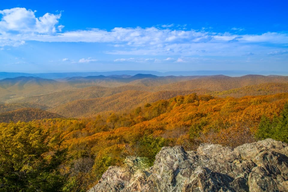 ModerateLewis Mountain and Laurel Prong Traverse17.3 mi · 15 hr · 0.1 mi awayA three-day traverse through Rapidan Camp to Lewis Falls
 Picnic area · 0.1 mi awaySouth River Picnic GroundsA shaded picnic stop that doubles as a South River Falls trailhead.
 Scenic pullout · 0.2 mi awaySouth River OverlookA field-framed southeast view, right on Skyline Drive.Sight · 0.9 mi awaySouth River FallsAn 83-foot waterfall, reached by a steep wooded loop.
 Sight · 1.2 mi awayBaldface Mountain OverlookA quick stop for a ledge view over the Shenandoah Valley.
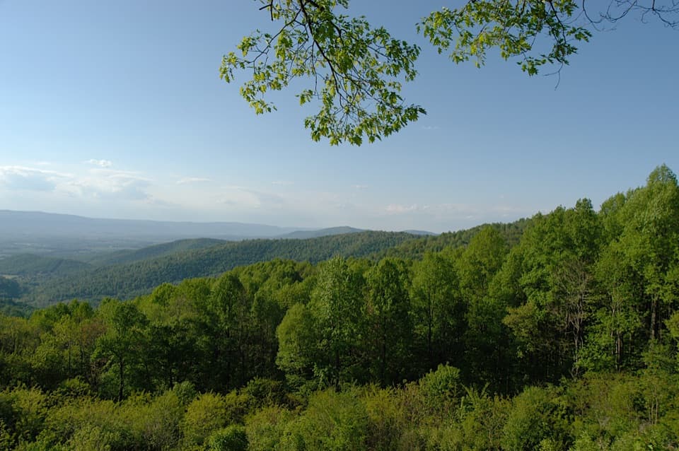 Scenic pullout · 1.4 mi awayHensley Hollow OverlookLook north past Hensley Ridge toward Elkton.
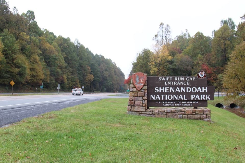 Entrance station · 2.3 mi awaySwift Run EntranceChoose north for Big Meadows; south is quieter.
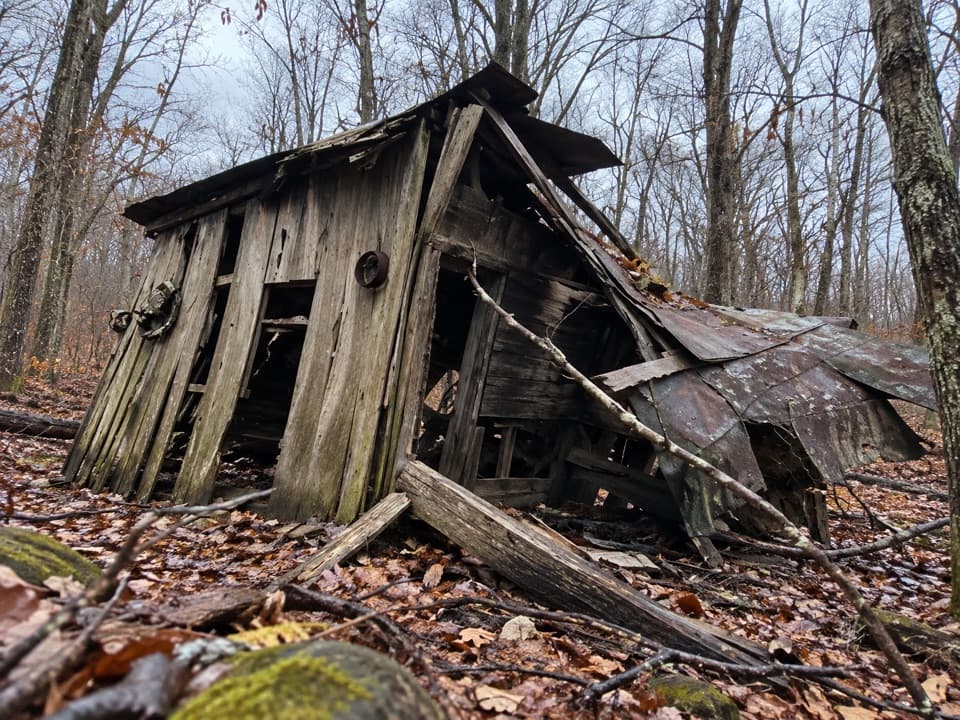 Sight · 2.4 mi awayUpper Pocosin Mission RuinsA Blue Ridge mission ruin reached beyond Pocosin Cabin.
 Lodging · 2.5 mi awayPocosin CabinA historic log cabin stay, a short walk from Skyline Drive.
Parkwolf’s Shenandoah ranking

The audio tour guide for the drive, plus offline maps, trails, and wildlife heatmaps for when the signal drops.





