Parking
Start at Stony Man Parking Area on Skyline Drive, mile 41.7. Take the Appalachian Trail from the lot to the marked junction for the blue-blazed Stony Man Trail.

#4 of 163 trails in Shenandoah
Shenandoah National Park, VA
A short loop to greenstone ledges and wide valley views.
Overview
Map & elevation
Plan your hike

The highest, rockiest slopes around here are a summer buffet for grizzly bears.
Shenandoah Tour Guide
Parkwolf is a GPS audio tour guide for Shenandoah National Park. As you drive, it chimes in with what’s ahead: hidden gems, upcoming stops, history, geology, and wildlife, right through your car’s speakers.
See the Shenandoah audio tourRecorded for this trailhead
Stony Man: Keep Going to the Higher Viewpoint“Stony Man's trailhead is coming up, and this is a good choice for a big valley view without a long hike. The one point six mile circuit takes about one to two hours, with a rocky approach to an exposed summit.”
Plays as you drive up to this trailhead in the Parkwolf Shenandoah Tour Guide.
More stories near here in the app
“Fantastic app with many points of information… It’s great to just turn on while you’re driving and it gives you an audio tour of the national Park. We love it!!!!”


Trail guide
This is a 1.6-mile round-trip circuit from Stony Man Parking Area at Skyline Drive mile 41.7. Follow the Appalachian Trail (A.T.) to a trail post, take the blue-blazed Stony Man Trail up through forest and around the summit, then retrace the A.T. connector to the lot. The route gains about 340 feet. It is rated easiest, but allow one to two hours so you can spend time at the rocks. If you want a real summit view without giving up half a day, this is an easy yes.
At the trail post, follow the blue blazes toward the summit viewpoint and continue around the circuit until it meets the A.T. again. Two open viewpoints sit close together; keep going to the higher summit view instead of turning back at the first break in the trees. The path becomes rockier near the top, where greenstone boulders replace the forest floor.
At 4,011 feet, Stony Man is Shenandoah's second-highest peak. From its exposed west-facing rocks, look over the Shenandoah Valley toward Massanutten and the Allegheny ridges; Luray and Stanley lie below, and Skyland sits to the south. For a photo, put a few lichen-covered greenstone rocks in the foreground with the valley beyond. Leave the lichens on the stones.
The greenstone began as basalt in a volcanic landscape about 570 million years ago. A dozen lava flows left roughly 1,800 feet of volcanic rock here; heat and pressure changed the basalt into the greenstone exposed along the summit. The ridges we see now are much younger in shape: uplift and erosion later carved the rounded Appalachian peaks from that older rock.
Copper prospectors once tried to work this mountain. The Miner's Lode Copper Company operated in the mid-1800s, but the mining venture failed. George Freeman Pollock persuaded his father to build a resort instead. Around 1898, Skyland began as Stony Man Camp, and visitors were already walking these hills before Shenandoah became a national park.
Cooler summit pockets support balsam fir and red spruce, trees more familiar farther north. The damp talus among the boulders is also habitat for the endangered Shenandoah salamander, which depends on moisture through its skin. Small rock depressions called Opferkessels can hold springlike pools after early-summer rain. Ravens, vultures and peregrines use the high country too, though wildlife is never guaranteed.
The trail is not ADA-accessible, and pets are prohibited; service animals are allowed. No reservation or separate hike fee is required, but the park entrance fee applies. Skyland Dining Hall is a separate nearby stop, not a trail-side amenity. A trailhead toilet, potable water and parking capacity were not confirmed, so plan accordingly.
Wildlife
 325 sightingsBlack BearMost seen around 6 AMSighting map
 21 sightingsBald EagleMost seen around 10 AMSighting map
 1,036 sightingsWhite-tailed DeerMost seen around 7 PMSighting map
 167 sightingsWild TurkeyMost seen around 7 AMSighting map
 93 sightingsTimber RattlesnakeMost seen around 6 PMSighting map
 24 sightingsCoyoteMost seen around 6 AMSighting map
Sighting maps show where each species has been reported across Shenandoah. Wildlife moves, so no sighting is guaranteed.
Keep exploring
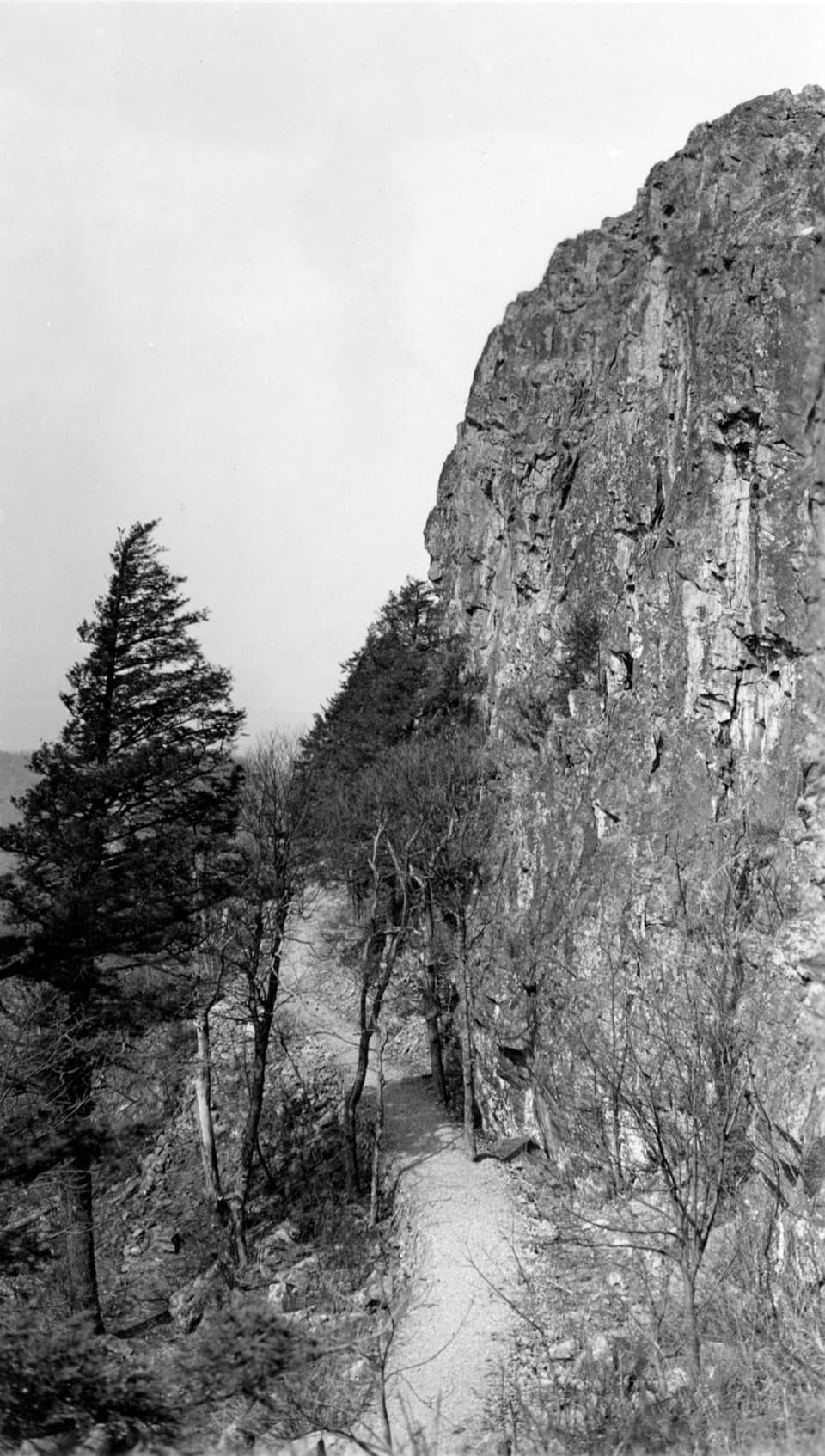 ModeratePassamaquoddy Loop3.4 mi · 3 hr · At the trailheadA wooded Skyland circuit with rocky clearings and valley views.
 EasyMillers Head Trail1.6 mi · 2 hr · 0.4 mi awayRocky climb to a former fire-tower site with wide valley views.
 ModerateWhiteoak Falls (Upper)4.6 mi · 3.5 hr · 0.6 mi awayA waterfall overlook with a steep climb back to Skyline Drive.
 EasyCrescent Rock Overlook via Limberlost3.4 mi · 2 hr · 1 mi awayA shady forest climb opens onto a rocky Massanutten view.
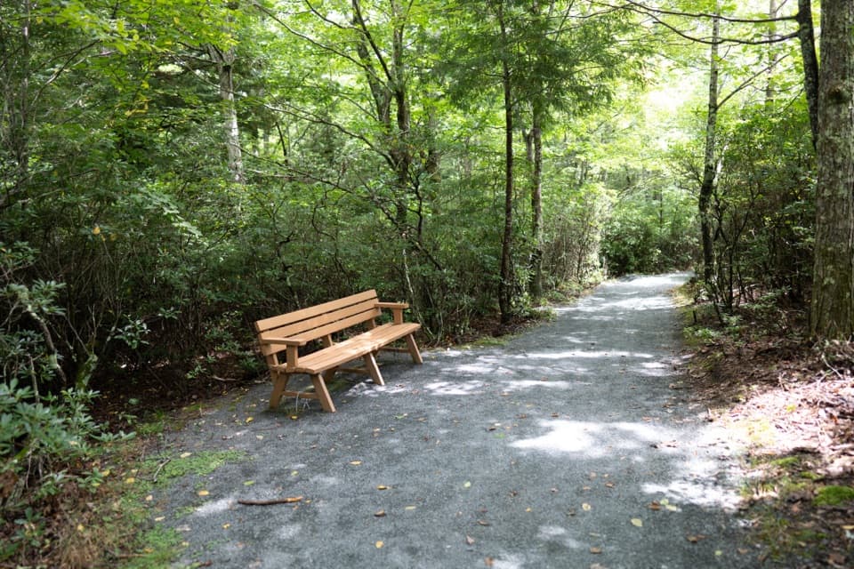 EasyLimberlost Trail1.3 mi · 1.5 hr · 1 mi awayAn accessible forest loop with a rare columnar-jointing formation.
 ModerateStony Man and Little Stony Man Hike3 mi · 2 hr · 1 mi awayTwo rocky viewpoints and a Skyline Drive view in three miles.EasyLittle Stony Man Hike1 mi · 1 hr · 1 mi awayA short climb to open views across Page Valley.
 ChallengingCrusher Ridge Trail4.7 mi · 4.5 hr · 1.6 mi awayA wooded ridge hike with a steep climb back to the AT.
 Sight · 0.3 mi awaySkylandA historic Skyline Drive resort with valley-view dining and nearby hikes.
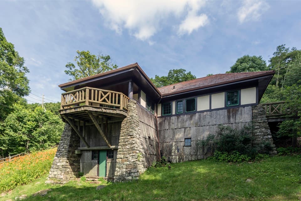 Sight · 0.4 mi awayMassanutten LodgeA cottage museum about Skyland's early years and its women.
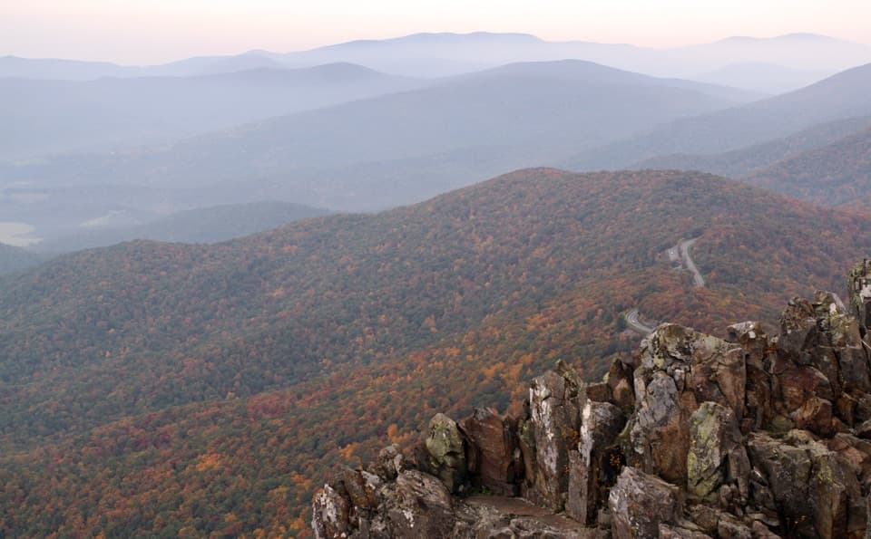 Sight · 0.4 mi awayStony Man SummitA short climb ends at a rocky, west-facing valley panorama.
 Sight · 0.6 mi awaySkyland StablesA slow, wooded ride past an old apple orchard.
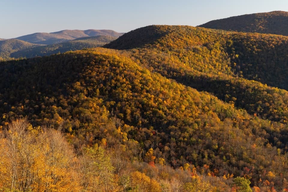 Scenic pullout · 0.8 mi awayHemlock Springs OverlookA quick overlook with a mountain view and a hemlock story.
 Sight · 0.8 mi awayLittle Stony Man CliffsA short rocky climb opens over Skyline Drive and Page Valley.
 Sight · 1 mi awayThorofare Mountain OverlookA quick pull-off for Old Rag and the layered eastern ridges.
 Sight · 1 mi awayMillers HeadRocky out-and-back to a stone lookout on a former fire-tower site.
Parkwolf’s Shenandoah ranking

The audio tour guide for the drive, plus offline maps, trails, and wildlife heatmaps for when the signal drops.





