Parking
Use Blackrock Parking Area at Skyline Drive mile 84.4; the one-mile circuit starts and ends there. The Brown Gap approach is a separate, much longer hike.

#6 of 163 trails in Shenandoah
Shenandoah National Park, VA
A one-mile circuit to a boulder slope and Shenandoah views.
Overview
Map & elevation
Plan your hike

The highest, rockiest slopes around here are a summer buffet for grizzly bears.
Shenandoah Tour Guide
Parkwolf is a GPS audio tour guide for Shenandoah National Park. As you drive, it chimes in with what’s ahead: hidden gems, upcoming stops, history, geology, and wildlife, right through your car’s speakers.
See the Shenandoah audio tourRecorded for this trailhead
Blackrock Summit: A Short Walk to the Boulder Field“You're nearing the Blackrock Summit trailhead, one of my picks for a short walk with a big payoff.”
Plays as you drive up to this trailhead in the Parkwolf Shenandoah Tour Guide.
More stories near here in the app
“Fantastic app with many points of information… It’s great to just turn on while you’re driving and it gives you an audio tour of the national Park. We love it!!!!”


Trail guide
Blackrock Summit Loop is a one-mile circuit from Blackrock Parking Area, climbing gently on the Appalachian Trail and returning on the Blackrock Hut Road–Trayfoot Mountain connector. The route reaches a broad slope of fractured rock above the Shenandoah Valley, with Massanutten Mountain on the far side. The park lists 175 feet of gain and 45 minutes of hiking; give it about an hour if you want to look around. It is an easy, high-payoff stop when you want a summit view without committing to a long hike.
From the lot at Skyline Drive mile 84.4, pick up the southbound Appalachian Trail. At the signed turn, go to the boulder slope for the view, then continue around the slope on the Appalachian Trail. At the junction, turn left onto the Blackrock Hut Road–Trayfoot Mountain return and follow it back to the lot. The one-mile figure is the full circuit, not one-way mileage. A separate, longer option adds a spur toward Trayfoot Mountain; local route descriptions put that loop at about 1.8 miles, so check the signs before following a branch if you want the short circuit.
The summit is a quartzite tor: layers of Harpers Formation rock split into steep blocks and spires. Geologists have linked the boulder fields here to cold-climate processes that shifted broken rock downslope. You can see how the talus fans away from the ridge without climbing onto it. The main path skirts the slope; scrambling over the blocks is optional and takes steadier footing than the dirt approach.
Look out across the Shenandoah Valley toward Massanutten Mountain. The boulders make a strong foreground if you take a photo; the broad valley and layered ridges give the scene its scale. The view is the clear payoff, while the short wooded stretches mainly connect the parking area to the rocks.
Blackrock is a TRACK Trail, with a self-guided activity brochure and an informational sign at the trailhead. Its prompts compare the rock-outcrop habitat with mixed deciduous forest and point out details such as lichen, moss, ferns, and animal holes. They give kids something specific to notice on a short walk; they are prompts, not a promise that wildlife will appear. The natural surface does not meet ADA accessibility guidelines.
This trail is listed as open year-round, and no reservation is required; Shenandoah National Park does require an entrance pass. Dogs are allowed on a physical leash no longer than six feet. Park at Blackrock Parking Area and return there; the Brown Gap approach is a different, much longer hike. The lot is small, and a few visitors report it filling at busy times, so have another stop in mind if it is full.
Wildlife
 325 sightingsBlack BearMost seen around 6 AMSighting map
 21 sightingsBald EagleMost seen around 10 AMSighting map
 1,036 sightingsWhite-tailed DeerMost seen around 7 PMSighting map
 167 sightingsWild TurkeyMost seen around 7 AMSighting map
 93 sightingsTimber RattlesnakeMost seen around 6 PMSighting map
 24 sightingsCoyoteMost seen around 6 AMSighting map
Sighting maps show where each species has been reported across Shenandoah. Wildlife moves, so no sighting is guaranteed.
Keep exploring
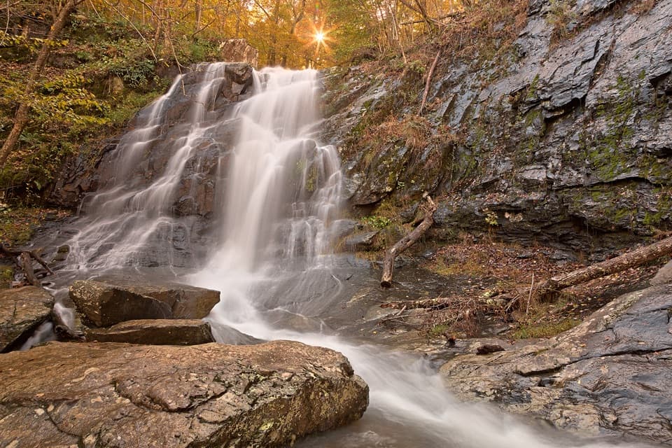 ModerateJones Run Falls Hike3.2 mi · 2.5 hr · 0.6 mi awayA wooded descent to a 42-foot cascade, then an uphill return.
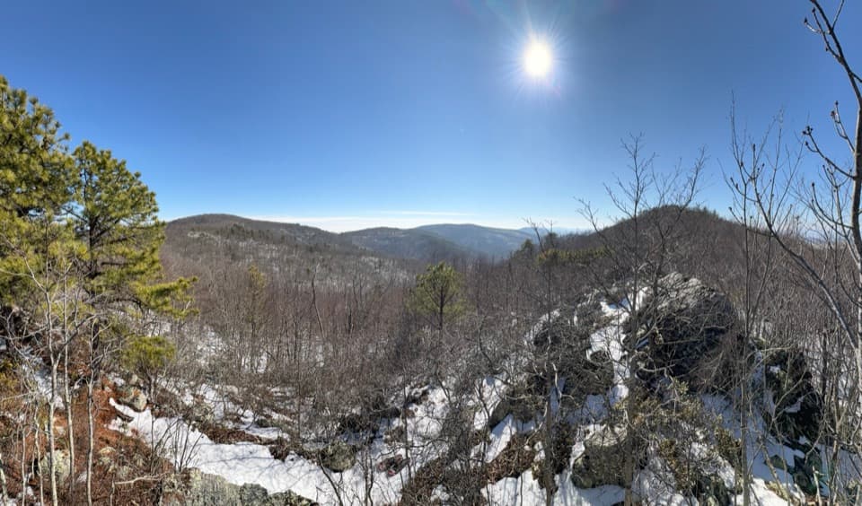 ChallengingWildcat Hollow and North Fork Moormans River Loop21.5 mi · 18 hr · 1.4 mi awayA three-day backcountry loop with river crossings and rocky overlooks.ChallengingTrayfoot Mountain–Paine Run Loop9.4 mi · 5.5 hr · 1.4 mi awayBlackrock’s boulder summit is the payoff on a long wooded loop.
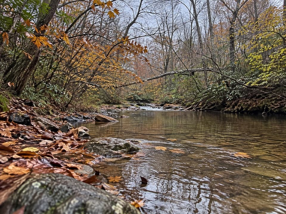 ModeratePaine Run Trail7.4 mi · 4.5 hr · 1.5 mi awayA shaded creekside descent past an 1830s springs hotel site.
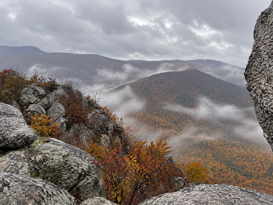 ModerateLewis Peak via Rockytop Trail9.1 mi · 5 hr · 1.7 mi awayA long, rocky ridge hike earns an open summit ledge.ChallengingBrowns Gap Waterfall Circuit6.5 mi · 7.5 hr · 1.7 mi awayThree waterfalls, a full-day loop, and a steep Jones Run climb.
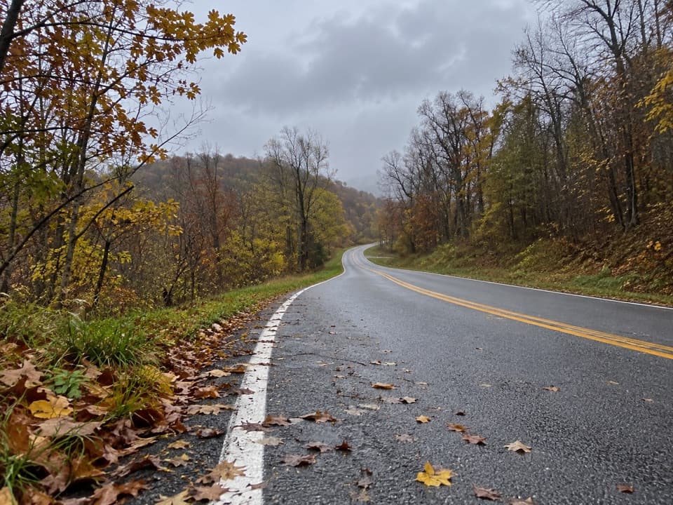 ChallengingRockytop–Big Run Portal Loop13.4 mi · 9 hr · 1.7 mi awayA rugged loop over Rockytop with talus views and stream crossings.ChallengingFurnace Mountain, Jones Run, and Austin Mountain Loop17.6 mi · 15 hr · 3.2 mi awayThree waterfalls and a rugged two-day loop over southern ridges.Sight · 0.4 mi awayBlackrock SummitA short loop to a boulder summit and a wide Shenandoah view.
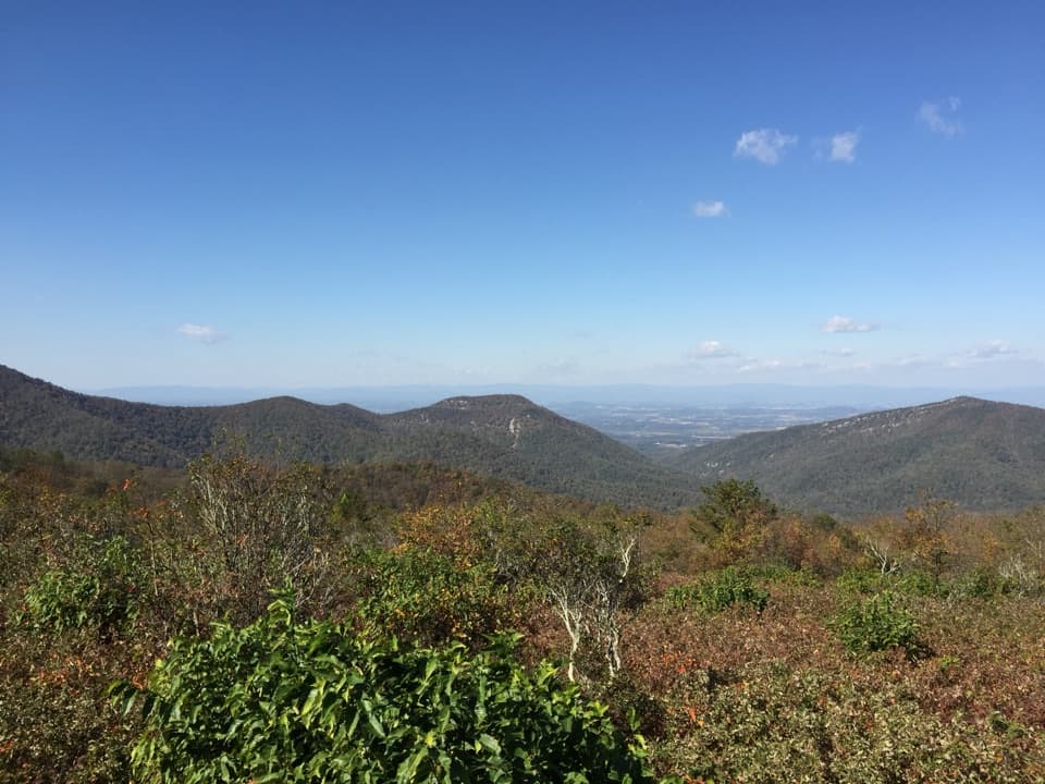 Scenic pullout · 1 mi awayDundo OverlookA quick pullout for Massanutten and the valley beyond.
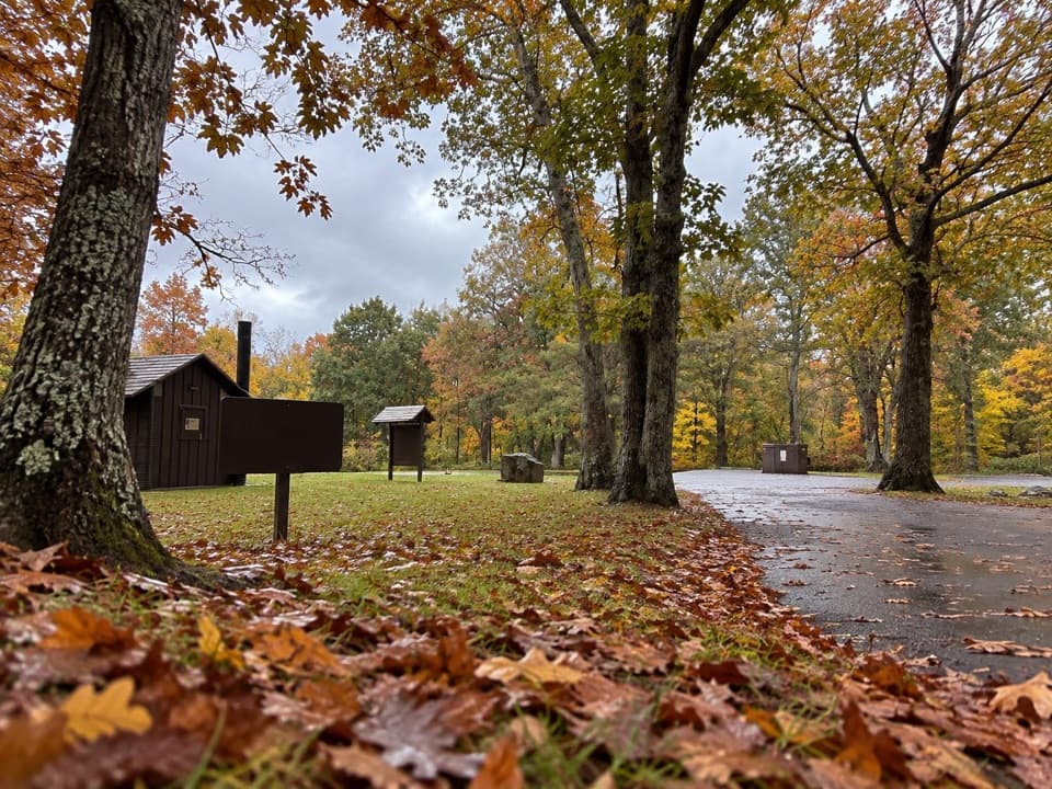 Picnic area · 1.2 mi awayDundo Picnic GroundsA shady picnic stop with a small Civilian Conservation Corps story.
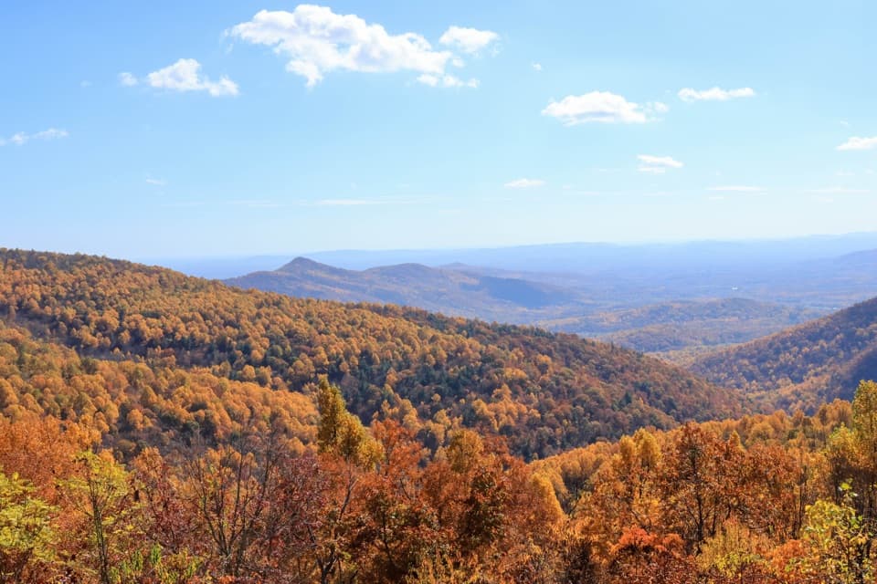 Scenic pullout · 1.4 mi awayTrayfoot Mountain OverlookA quick Skyline Drive pullout for layered mountain views.Sight · 1.6 mi awayJones Run FallsA 42-foot cascade; save energy for the uphill return.
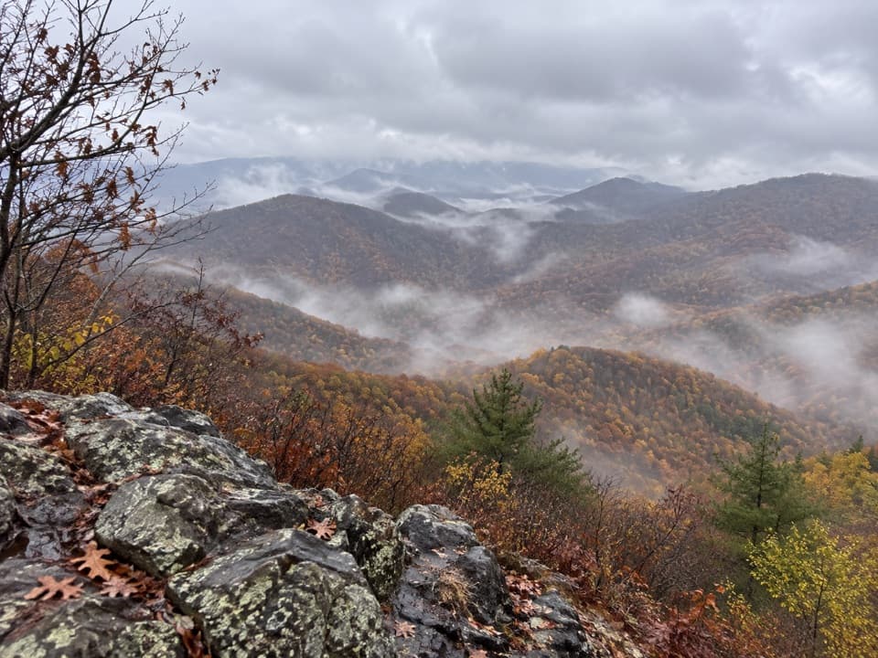 Sight · 2.3 mi awayFurnace MountainAn open rock ledge earns the climb with sweeping valley views.
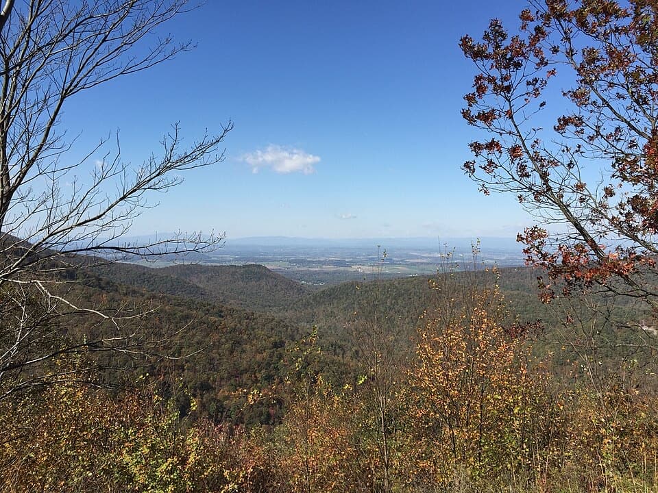 Scenic pullout · 2.5 mi awayHorsehead OverlookA quick Skyline Drive view with a story in the rocks.
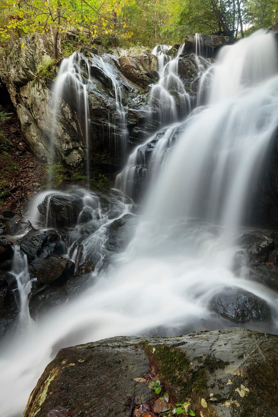 Sight · 2.5 mi awayDoyles River FallsTwo waterfalls, a forest stream, and a long climb back out.
Parkwolf’s Shenandoah ranking

The audio tour guide for the drive, plus offline maps, trails, and wildlife heatmaps for when the signal drops.





