Parking
Hawksbill Gap Parking Area on Skyline Drive, mile 45.6; the loop returns to this lot. Park entry requires the entrance fee. Whiteoak Boundary Parking is a different trailhead and route.

#5 of 163 trails in Shenandoah
Shenandoah National Park, VA
Six waterfalls reward a very hard, creekside loop.
Overview
Cedar Run - Whiteoak Circuit is an 8.1-mile loop from Hawksbill Gap that descends Cedar Run, climbs Whiteoak Canyon past six waterfalls, and returns on the Whiteoak Canyon Fire Road and Skyland-Big Meadows Horse Trail. Allow about seven hours; the route gains 2,794 feet and is rated very strenuous. Choose it for a full creek-and-waterfall day, not a quick look at one cascade. For a shorter outing, the separate 4.6-mile round trip from Whiteoak Canyon Parking goes to Upper Whiteoak Falls; continuing to the other five falls adds another strenuous 2.7 miles.
 Parkwolf’s verdictIs this the full circuit for you?
Map & elevation
Plan your hike

The highest, rockiest slopes around here are a summer buffet for grizzly bears.
Shenandoah Tour Guide
Parkwolf is a GPS audio tour guide for Shenandoah National Park. As you drive, it chimes in with what’s ahead: hidden gems, upcoming stops, history, geology, and wildlife, right through your car’s speakers.
See the Shenandoah audio tourRecorded for this trailhead
Hawksbill Gap: The Short, Steep Summit Route“You're approaching Hawksbill Gap, where a steep hike leads to the park's highest summit. For a shorter outing, take Lower Hawksbill: one point seven miles round trip, allowing an hour and a half to two hours.”
Plays as you drive up to this trailhead in the Parkwolf Shenandoah Tour Guide.
More stories near here in the app
“Fantastic app with many points of information… It’s great to just turn on while you’re driving and it gives you an audio tour of the national Park. We love it!!!!”


Trail guide
Start at Hawksbill Gap Parking, Skyline Drive mile 45.6. The blue-blazed Cedar Run Trail drops off the ridge into Shenandoah Wilderness. You give up much of the day's elevation early, then climb back toward the high ground on the return. The route reaches the creek and includes several stream crossings, so keep an eye out for the trail markers at junctions. At the bottom, turn left onto Whiteoak Canyon Trail; after the upper falls, the loop leaves the creek for the fire road.
Whiteoak Canyon is the waterfall stretch. Climb beside cascades through a rocky corridor, with uneven steps, steep switchbacks and short scrambles around boulders. The six falls arrive along the uphill walk, not as one single viewpoint; their mapped heights range from about 35 to 86 feet. A marked viewpoint looks across the upper falls. Leave some of the rock around the water in your photo so the cascade's scale comes through. Do not scramble onto the waterfall rocks: a fall there can be deadly.
Just after the upper falls, turn left onto Whiteoak Canyon Fire Road, then left again onto Skyland-Big Meadows Horse Trail. Those are the return route to Hawksbill Gap. After the close creek walking, the wider road and horse-trail tread feel like a different half of the hike, but they still carry you back uphill to the same parking area. Don't continue down toward Whiteoak Boundary Parking; that is a different route and starting point.
Treat this as a full-day, very strenuous hike. The steep descent, long climb past the waterfalls, rocky footing and repeated crossings add up; The route gains 2,794 feet. Do not cross streams during ice or flooding, and never climb on waterfall rocks. If either is a concern, choose the shorter Upper Whiteoak Falls walk or wait for safer conditions. Plan to carry your food and drinking water for the day.
The trailhead is Hawksbill Gap Parking on Skyline Drive at mile 45.6, and the circuit returns there. Park entry requires the park entrance fee; this hike has no separate activity fee or reservation requirement. The route is listed for year-round access, though conditions can change. Leashed pets are allowed; the leash must be no longer than six feet.
Wildlife
 325 sightingsBlack BearMost seen around 6 AMSighting map
 21 sightingsBald EagleMost seen around 10 AMSighting map
 1,036 sightingsWhite-tailed DeerMost seen around 7 PMSighting map
 167 sightingsWild TurkeyMost seen around 7 AMSighting map
 93 sightingsTimber RattlesnakeMost seen around 6 PMSighting map
 24 sightingsCoyoteMost seen around 6 AMSighting map
Sighting maps show where each species has been reported across Shenandoah. Wildlife moves, so no sighting is guaranteed.
Keep exploring
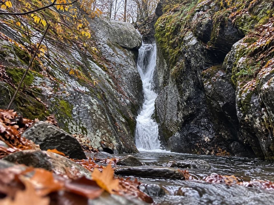 ChallengingCedar Run Falls3.4 mi · 3.5 hr · At the trailheadSteep streamside miles lead to a narrow gorge and natural waterslide.
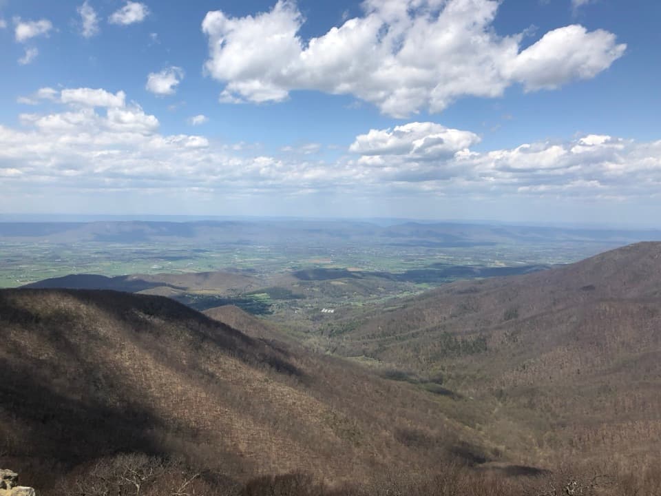 ModerateHawksbill Summit via Lower Hawksbill Trail1.7 mi · 1.5 hr · At the trailheadA short, steep climb to Shenandoah's highest summit.
 EasyHawksbill to Swift Run via Laurel Prong25.6 mi · 4 days · At the trailheadFour days from the highest summit to Swift Run Gap, with waterfalls.
 ModerateHawksbill Loop2.9 mi · 2.5 hr · At the trailheadA rocky 2.9-mile loop to Hawksbill’s 360-degree summit views.EasyHawksbill Summit via Upper Hawksbill2.1 mi · 1.5 hr · 0.9 mi awayA short climb to Shenandoah’s high point and its stone-walled panorama.
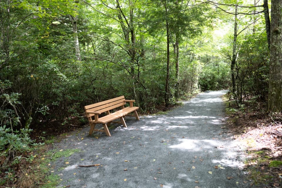 EasyLimberlost Trail1.3 mi · 1.5 hr · 1.7 mi awayAn accessible forest loop with a rare columnar-jointing formation.
 EasyCrescent Rock Overlook via Limberlost3.4 mi · 2 hr · 1.7 mi awayA shady forest climb opens onto a rocky Massanutten view.
 ModerateWhiteoak Falls (Upper)4.6 mi · 3.5 hr · 2.1 mi awayA waterfall overlook with a steep climb back to Skyline Drive.Sight · 0.5 mi awayHawksbill SummitA rocky summit and a full-circle view worth hiking for.
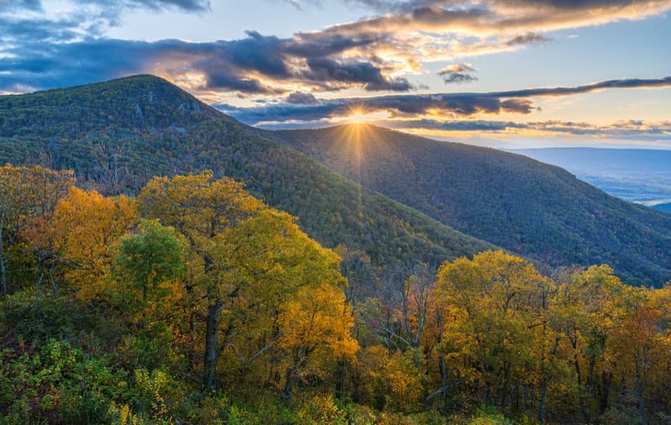 Sight · 0.5 mi awayCrescent Rock OverlookA quick roadside stop for Hawksbill and a rocky west-facing perch.
 Sight · 0.8 mi awayOld Rag View OverlookA three-mile view of Old Rag from Skyline Drive.
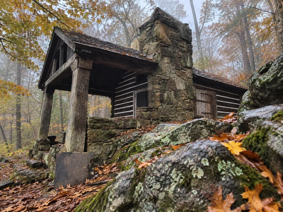 Lodging · 1.2 mi awayRock Spring CabinSpend the night in a 1936 cabin above the Page Valley.
 Scenic pullout · 1.3 mi awayTimber Hollow OverlookA west-facing view with a story from Shenandoah’s creation.
 Sight · 1.3 mi awayUpper Whiteoak FallsA waterfall walk through a bouldery canyon to a rocky viewing ledge.
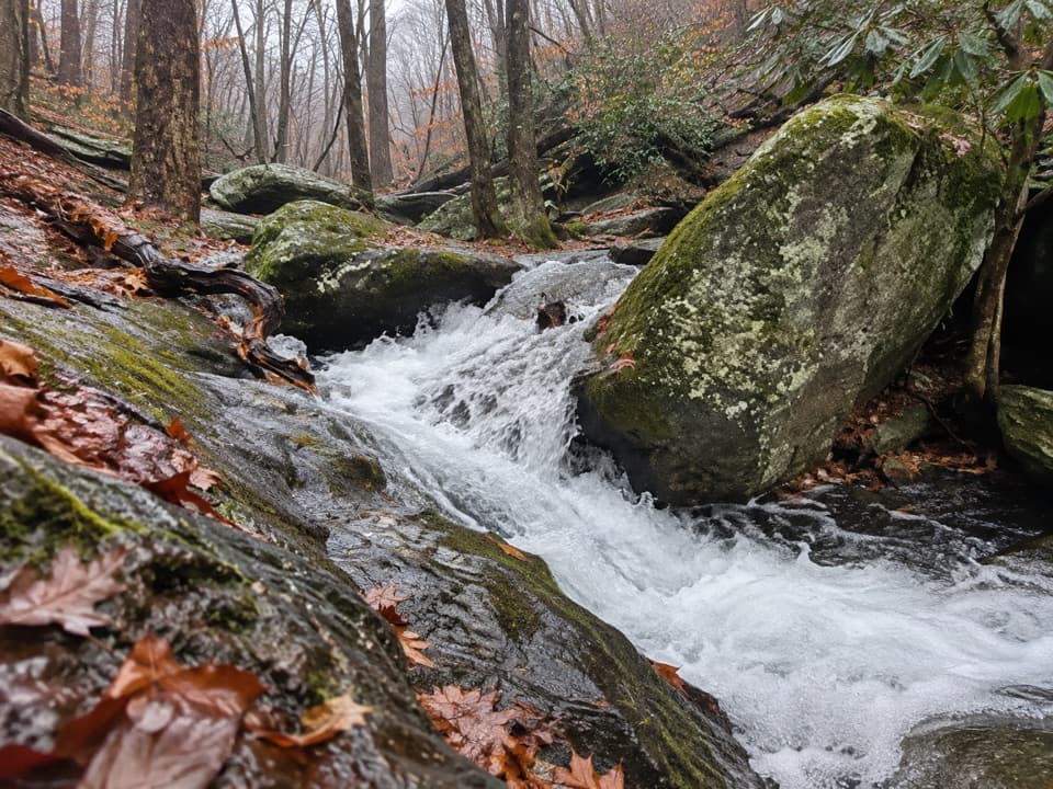 Sight · 1.4 mi awayCedar Run FallsA narrow-gorge waterfall worth a strenuous hike through Cedar Run.
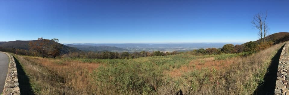 Sight · 1.7 mi awaySpitler Knoll OverlookA broad meadow view over the valley, especially near sunset.
Parkwolf’s Shenandoah ranking
The audio tour guide for the drive, plus offline maps, trails, and wildlife heatmaps for when the signal drops.




