Parking
Use the Panorama parking area on Skyline Drive at milepost 31.6; the trail starts from the back of the lot. The park entrance fee applies. Restrooms are marked near the Thornton Gap entrance station, separate from the trailhead.

#3 of 163 trails in Shenandoah
Shenandoah National Park, VA
A rocky climb from Panorama earns a big west-facing view.
Overview
Map & elevation
Plan your hike

The highest, rockiest slopes around here are a summer buffet for grizzly bears.
Shenandoah Tour Guide
Parkwolf is a GPS audio tour guide for Shenandoah National Park. As you drive, it chimes in with what’s ahead: hidden gems, upcoming stops, history, geology, and wildlife, right through your car’s speakers.
See the Shenandoah audio tourRecorded for this trailhead
Panorama: The Climb to Marys Rock“Panorama is coming up, with the trail to Marys Rock's open summit view across the valley toward Massanutten Mountain.”
Plays as you drive up to this trailhead in the Parkwolf Shenandoah Tour Guide.
More stories near here in the app
“Fantastic app with many points of information… It’s great to just turn on while you’re driving and it gives you an audio tour of the national Park. We love it!!!!”


Trail guide
Marys Rock Summit Trail is a 3.7-mile out-and-back from Panorama parking, climbing the Appalachian Trail south before a signed spur leads to the summit rocks. Allow about three and a half hours and expect a sustained ascent of roughly 1,210 feet. The payoff is a high, open view over the Shenandoah Valley and Massanutten Mountain. It is a strong half-day choice if you enjoy a rocky climb; this Panorama route is longer and steeper than the separate approach from Meadow Spring.
Park at the Panorama area on Skyline Drive, milepost 31.6. A short connector from the back of the lot joins the Appalachian Trail. Turn left, toward the south, and follow the white-blazed route to the Marys Rock trailpost; turn right for the summit spur. Return the same way. The 3.7-mile figure is the complete distance out and back.
The trail starts gaining height quickly. Wooden steps lead into switchbacks, and the ground is rocky enough that you will spend some time watching your footing. There are early glimpses through a power-line opening, then the path winds across the north-facing slope with views toward Thornton Gap and Pass Mountain. The walking eases briefly before the climb steepens again.
About halfway up, the route threads along a narrow, rocky ledge beneath pines. The footing is mostly level here, but there is a drop close beside the path and little protection from a fall. Around 1.2 miles in, low stone walls built by Civilian Conservation Corps crews mark the climb. Mossy boulders and large rock outcrops make this stretch memorable; take your time through it, especially if you are uneasy with heights.
Farther on, switchbacks climb through another steep section. A gap in the trees opens east toward the Piedmont, and mountain laurel marks a rise that looks like the top before the trail bends north and south again. At the Marys Rock post, turn right onto the short rocky spur. Steps reach the first lookout; continuing to the highest fin involves a brief, harder scramble over exposed rock, so it is fine to turn around at the broad viewpoint.
The first rocky lookout faces Thornton Gap and Pass Mountain. From higher open rock, the view sweeps west over the Shenandoah Valley to Massanutten Mountain and south along the Blue Ridge; the eastern foothills are visible through gaps in the trees. The large outcrop is also a perch for watching the fall hawk migration. For a photo that shows the shape of the place, keep some of the pale summit rock in the foreground with the valley behind it, and stay well back from the edge.
The exposed outcrop supports fragile plants and lichens. Stay on the marked route and keep off any signed closed areas. Camping is prohibited above 3,400 feet at Marys Rock. The rocky summit steps and upper fin are uneven and exposed, and the hike is not ADA accessible.
There is a park entrance fee, but no separate activity fee or reservation for this hike. Restrooms are marked by the Thornton Gap entrance station, a separate stop from the trailhead. Dogs are allowed on a leash no longer than six feet. For a shorter Marys Rock outing, the Meadow Spring approach is 2.9 miles round trip, but it starts at a different Skyline Drive parking area and follows a different route.
Wildlife
 325 sightingsBlack BearMost seen around 6 AMSighting map
 21 sightingsBald EagleMost seen around 10 AMSighting map
 1,036 sightingsWhite-tailed DeerMost seen around 7 PMSighting map
 167 sightingsWild TurkeyMost seen around 7 AMSighting map
 93 sightingsTimber RattlesnakeMost seen around 6 PMSighting map
 24 sightingsCoyoteMost seen around 6 AMSighting map
Sighting maps show where each species has been reported across Shenandoah. Wildlife moves, so no sighting is guaranteed.
Keep exploring
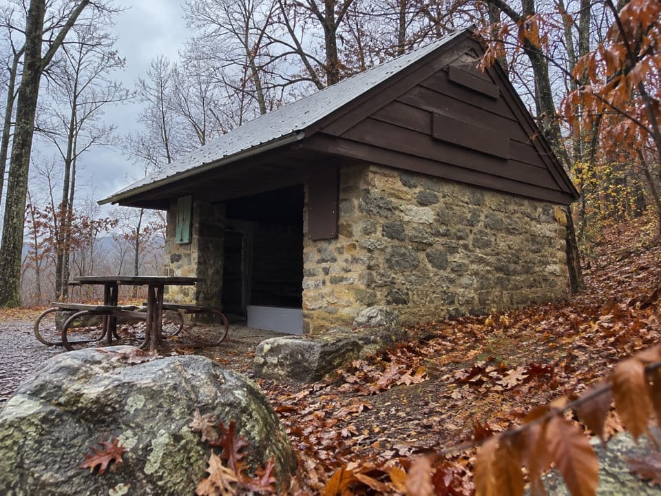 ModeratePass Mountain Loop3.4 mi · 2.5 hr · At the trailheadA moderate loop to an Appalachian Trail shelter through open woods.
 ChallengingPass Mountain & Jeremys Run Loop22.4 mi · 16 hr · At the trailheadA 22.4-mile loop links the AT, Neighbor Mountain and Jeremys Run.
 ModerateHazel River Falls Hike5.3 mi · 5 hr · 1.5 mi awayA 5.3-mile round trip to a shaded cave and two small falls.
 ChallengingBuck Hollow and Buck Ridge Loop5.9 mi · 3.5 hr · 1.5 mi awayA streamside descent, 600 steps, and a hard climb back up.
 ChallengingHazel River - White Rocks Loop8.5 mi · 6 hr · 1.5 mi awayLong loop, short spur to a cave and two falls.
 ModerateHazel Mountain–Catlett Mountain Loop7.8 mi · 5 hr · 1.5 mi awayA wooded backcountry loop with old walls and stream crossings.
 ModerateMarys Rock from Meadow Spring2.9 mi · 3 hr · 1.5 mi awayA shorter south-side climb to Marys Rock's westward valley view.
 ChallengingNicholson and Hazel Wilderness Circuit25.2 mi · 20 hr · 1.5 mi awayFour days of river valleys, cabin history, and backcountry miles.
 Sight · 0.1 mi awayPanoramaA handy Skyline Drive stop for water, restrooms, and park information.
 Entrance station · 0.2 mi awayThornton Gap EntranceA staffed Route 211 gate to the Blue Ridge’s 105-mile road.
 Sight · 0.6 mi awayMarys Rock TunnelCheck the 12-foot-8 ceiling before this 1932 drive-through.
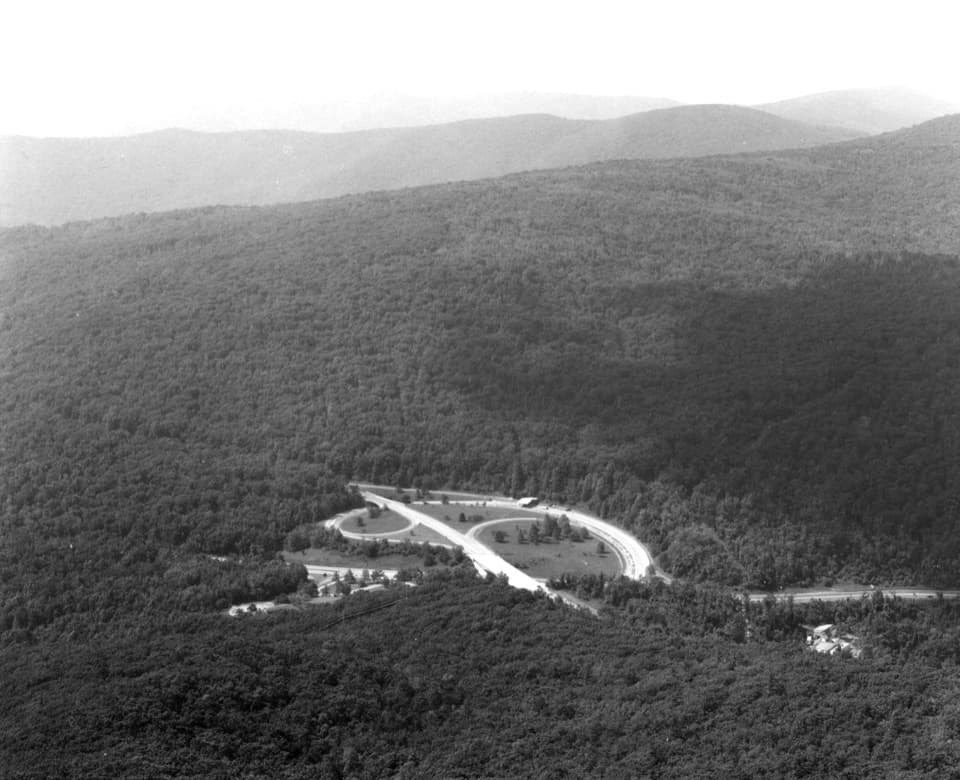 Sight · 0.7 mi awayMarys RockA boulder summit rewards the hike with a sweeping valley-and-ridge view.
 Sight · 0.8 mi awayTunnel Parking OverlookA quick east-facing view beside Skyline Drive's only tunnel.
 Scenic pullout · 1.2 mi awayBuck Hollow OverlookA sunrise stop above layered ridges and Sperryville.
 Sight · 1.3 mi awayHazel Mountain OverlookA tree-topped rock anchors this layered Blue Ridge view.
 Sight · 1.3 mi awayPass Mountain OverlookA west-facing stop over Kemp Hollow and Luray.
Parkwolf’s Shenandoah ranking

The audio tour guide for the drive, plus offline maps, trails, and wildlife heatmaps for when the signal drops.





