Cannonball Concretions in Theodore Roosevelt National Park

#10 of 26 sights in Theodore Roosevelt

Sight · Theodore Roosevelt National Park

Cannonball Concretions

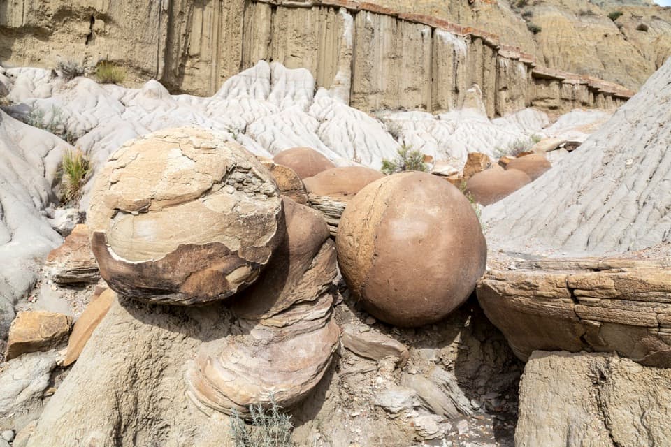
Spheres reach about five feet across, just off the scenic drive.

Photo: Wikimedia Commons
Type
Sight
Nearest trail
0.1 mi
Audio stories
4 nearby
  • Parking
  • Exhibit
  • Scenic viewpoint
  • Trailhead

Hear the audio tour

Cannonball Concretions: How the Spheres Formed

Overview

About Cannonball Concretions

Why stop

  • Unusual near-spherical rocks make a memorable stop beside the scenic drive.

Heads up

  • Ground beyond the accessible sidewalk is uneven and can be slippery.

Map

Where it is

Loading the Theodore Roosevelt map
Full map
SightCannonball Concretions47.59636, -103.33257
Keep this map with you offline in the Parkwolf app

Plan your stop

Before you go

2 active Theodore Roosevelt alerts

  • ClosureRidgeline Nature Trail inaccessibleDo not plan to use the South Unit’s Ridgeline Nature Trail; it is currently inaccessible because of a road collapse. - The trail is 0.6 mile long.Official details
  • InfoChanged access route to Petrified Forest trailheadUse the approved legal route from I-94 Exit 10 to reach the Petrified Forest trailhead; follow the clearly marked posts.Official details

Theodore Roosevelt alerts
A park ranger sits on a dash-mounted phone, talking, as Parkwolf’s Tour Guide plays “Army Cutworm Moths: A Grizzly Bear Buffet” on Grand Loop Road below Dunraven Pass in Yellowstone
Parkwolf Tour GuideThe highest, rockiest slopes around here are a summer buffet for grizzly bears.

Theodore Roosevelt Tour Guide

Your drive to Cannonball Concretions, narrated.

Parkwolf is a GPS audio tour guide for Theodore Roosevelt National Park. As you drive, it chimes in with what’s ahead: hidden gems, upcoming stops, history, geology, and wildlife, right through your car’s speakers.

Recorded for this place

Cannonball Concretions: How the Spheres Formed
0:00 / 0:33
“Cannonball Concretions is coming up, with round rocks jutting out of the pale badlands slopes. I'd stop for five to fifteen minutes to see them and the exhibit; some reach about five feet across.”

Plays as you drive up to Cannonball Concretions in the Parkwolf Theodore Roosevelt Tour Guide.

More stories near here in the app

  • Juniper Campground and a Little Mo Walk
  • Caprock Coulee: Valley or Ridge Walk
  • Slump Block Pullout: Layers on the Move
  • Longhorn Steer Pullout: The Cattle-Drive Story
  • 45 audio storiesacross Theodore Roosevelt’s roads, triggered by GPS as you drive
  • Wildlife heatmapsfor Bison, Wild Horse, Wapiti, and 13 more
  • Works offlinemaps, 38 trails, 35 places, and audio download before you lose signal
  • CarPlay readysimple controls built for the drive
★★★★★
“Fantastic app with many points of information… It’s great to just turn on while you’re driving and it gives you an audio tour of the national Park. We love it!!!!”
JMJamesApp Store review
Download Parkwolf on the App StoreGet Parkwolf on Google Play

4.7 from 8,600+ ratings

Guide

More about Cannonball Concretions

A quick stop for strange rocksCannonball Concretions is a roadside geological stop in the North Unit, about five miles along…

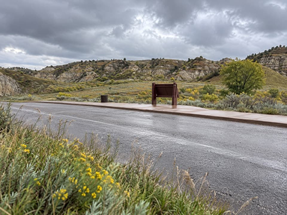
Cannonball Concretions is a roadside geological stop in the North Unit, about five miles along the scenic drive and across from Juniper Campground. Round, mineral-cemented rocks jut out of the pale badlands slopes. It's an easy, memorable stop if you want to see something odd without planning a hike. Allow 5 to 15 minutes to view the formations and exhibit; the pullout has car, bus and RV parking, including accessible spaces.

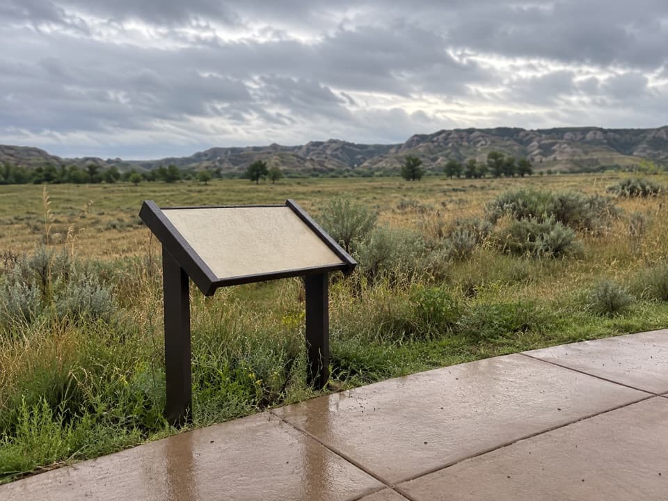
Start from the sidewalkAn accessible sidewalk gives you a view of the boulders and interpretive exhibit.

An accessible sidewalk gives you a view of the boulders and interpretive exhibit. Beyond it, the formation area is unpaved, loose and uneven, and can be slippery. The rocks themselves can be slick to climb, so take your time and look from stable ground. Pets aren't allowed on this activity; service animals are permitted on a leash no longer than six feet.

How the cannonballs formedMineral-rich water moves through porous badlands layers and leaves minerals in gaps between…

Mineral-rich water moves through porous badlands layers and leaves minerals in gaps between sediment grains, often around a core. Those minerals cement the grains together; more layers build outward, like a pearl. Erosion wears away the softer material and exposes the harder rounded stones. Some are several feet across, with reported examples reaching about five feet.

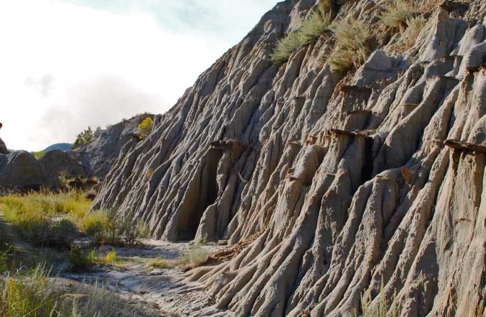
Bring the badlands into the photoFrame one of the spheres against the ribbed clay and broken layers behind it.

Frame one of the spheres against the ribbed clay and broken layers behind it. The round outline stands out more clearly beside that rough backdrop than in a tight crop of stone alone.

Continue on the Buckhorn TrailThe pullout also gives access to the Buckhorn Trail, listed at 11.4 miles.

The pullout also gives access to the Buckhorn Trail, listed at 11.4 miles. Treat it as its own hike, not a quick extension to the rock stop; check the full route and conditions before setting out.

Wildlife

Wildlife in Theodore Roosevelt

All Theodore Roosevelt wildlife maps

Sighting maps show where each species has been reported across Theodore Roosevelt. Wildlife moves, so no sighting is guaranteed.

Keep exploring

Near Cannonball Concretions

See it all on the map

Trails nearby

More stops nearby

Parkwolf’s Theodore Roosevelt ranking

Top sights in Theodore Roosevelt

All 35 places
  1. 1River Bend OverlookSight
  2. 2Painted Canyon Overlook and Visitor CenterSight
  3. 3Maltese Cross CabinSight
  4. 4Oxbow OverlookSight
  5. 5Wind CanyonSight
  6. 6Elkhorn Ranch Cabin SiteSight

Take Parkwolf to Theodore Roosevelt.

The audio tour guide for the drive, plus offline maps, trails, and wildlife heatmaps for when the signal drops.

4.7 from 8,600+ ratings

Download Parkwolf on the App StoreGet Parkwolf on Google Play