Caprock Coulee Trail in Theodore Roosevelt National Park

#1 of 38 trails in Theodore Roosevelt

Theodore Roosevelt National Park, ND

Caprock Coulee Trail

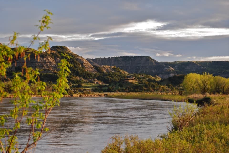
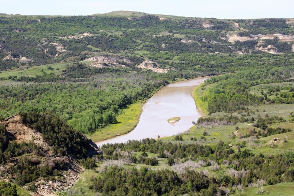
A wooded coulee climbs to a narrow ridge over the Little Missouri.

Photo: National Park Service
Length
4.3mi
Time
2.5hr
Elev. change
430ft
Difficulty
Moderate
  • Loop
  • No dogs
  • High point 2,470 ft

Hear the audio tour

Caprock Coulee: Valley or Ridge Walk

Overview

About Caprock Coulee Trail

Why go

  • One loop combines the wooded coulee, caprock ridge and Little Missouri views.
  • The 1.6-mile nature-trail return is a useful shorter option.

Heads up

  • Wet bentonite turns slick, and the upper ridge is narrow with steep drops.
  • The full route becomes much steeper after the easy lower section.

Map & elevation

The route

Loading the Theodore Roosevelt map
Full map
Elevation2,041–2,470 ft
TrailheadCaprock Coulee Trailhead47.60986, -103.35590
Keep this map with you offline in the Parkwolf app

Plan your hike

Before you go

Parking

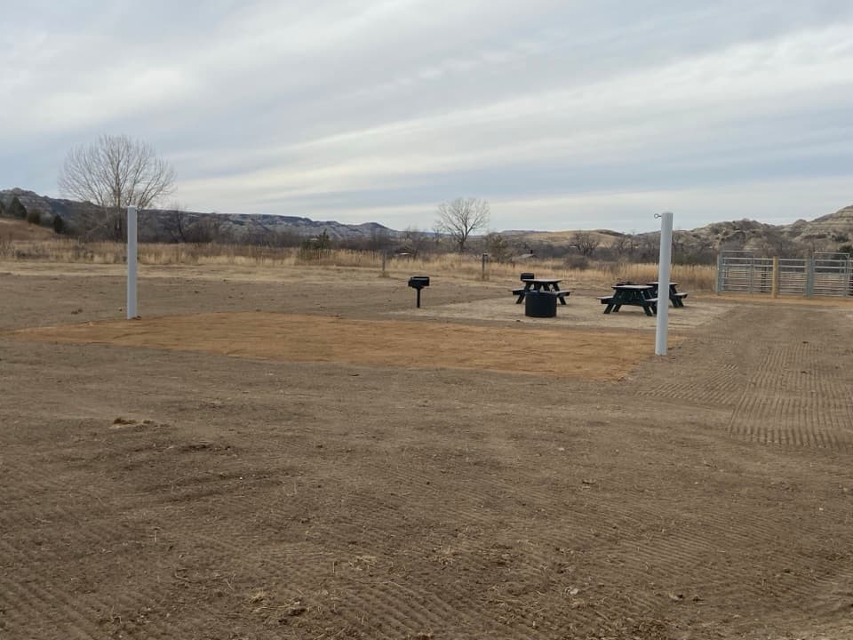
Use the small Caprock Coulee Trailhead lot on Scenic Drive, about six miles west of the North Unit Visitor Center. The full loop begins and ends there. River Bend Overlook has separate road access, but starting there makes a different, shortened ridge walk.

Safety

Bentonite clay becomes very slippery after rain or snowmelt, especially near seeps. The upper route has narrow exposed ridges and steep drops. No pets, bicycles or motorized equipment are allowed on park trails; keep at least 25 yards from wildlife.

2 active Theodore Roosevelt alerts

  • ClosureRidgeline Nature Trail inaccessibleDo not plan to use the South Unit’s Ridgeline Nature Trail; it is currently inaccessible because of a road collapse. - The trail is 0.6 mile long.Official details
  • InfoChanged access route to Petrified Forest trailheadUse the approved legal route from I-94 Exit 10 to reach the Petrified Forest trailhead; follow the clearly marked posts.Official details
Theodore Roosevelt alerts
A park ranger sits on a dash-mounted phone, talking, as Parkwolf’s Tour Guide plays “Army Cutworm Moths: A Grizzly Bear Buffet” on Grand Loop Road below Dunraven Pass in Yellowstone
Parkwolf Tour GuideThe highest, rockiest slopes around here are a summer buffet for grizzly bears.

Theodore Roosevelt Tour Guide

Your drive to Caprock Coulee Trail, narrated.

Parkwolf is a GPS audio tour guide for Theodore Roosevelt National Park. As you drive, it chimes in with what’s ahead: hidden gems, upcoming stops, history, geology, and wildlife, right through your car’s speakers.

Recorded for this trailhead

Caprock Coulee: Valley or Ridge Walk
0:00 / 0:28
“You're nearing Caprock Coulee trailhead, where a wooded valley leads onto ridges above the Little Missouri. The full loop is about four miles and takes two to three hours, with steep climbs and narrow, exposed ridges.”

Plays as you drive up to this trailhead in the Parkwolf Theodore Roosevelt Tour Guide.

More stories near here in the app

  • River Bend Overlook and the Stone Shelter
  • Juniper Campground and a Little Mo Walk
  • Cannonball Concretions: How the Spheres Formed
  • Bentonitic Clay Overlook: Colors and Freshwater Fossils
  • 45 audio storiesacross Theodore Roosevelt’s roads, triggered by GPS as you drive
  • Wildlife heatmapsfor Bison, Wild Horse, Wapiti, and 13 more
  • Works offlinemaps, 38 trails, 35 places, and audio download before you lose signal
  • CarPlay readysimple controls built for the drive
★★★★★
“Fantastic app with many points of information… It’s great to just turn on while you’re driving and it gives you an audio tour of the national Park. We love it!!!!”
JMJamesApp Store review
Download Parkwolf on the App StoreGet Parkwolf on Google Play

4.7 from 8,600+ ratings

Trail guide

Hiking Caprock Coulee Trail

The full loopCaprock Coulee Trail is a 4.

Caprock Coulee Trail is a 4.3-mile loop from the North Unit trailhead, through a wooded coulee, up a grassy butte and along exposed ridges above the Little Missouri. It moves from close-up rock to open river and butte views. Allow two to three hours. Published totals vary from 4.1 to 4.4 miles; this is the full loop, not only the nature trail.

Take the lower trail firstFollow the signed route into the coulee and take the left branch at the first fork; the right…

Follow the signed route into the coulee and take the left branch at the first fork; the right heads toward Buckhorn. Counter-clockwise gives you the shaded canyon first and saves the broad views for later. At the final interpretive post, turn back for a 1.6-mile out-and-back. Continuing there commits you to the full route.

Through the couleeThe first three-quarters of a mile follows the Caprock Coulee Nature Trail along a steep-sided,…

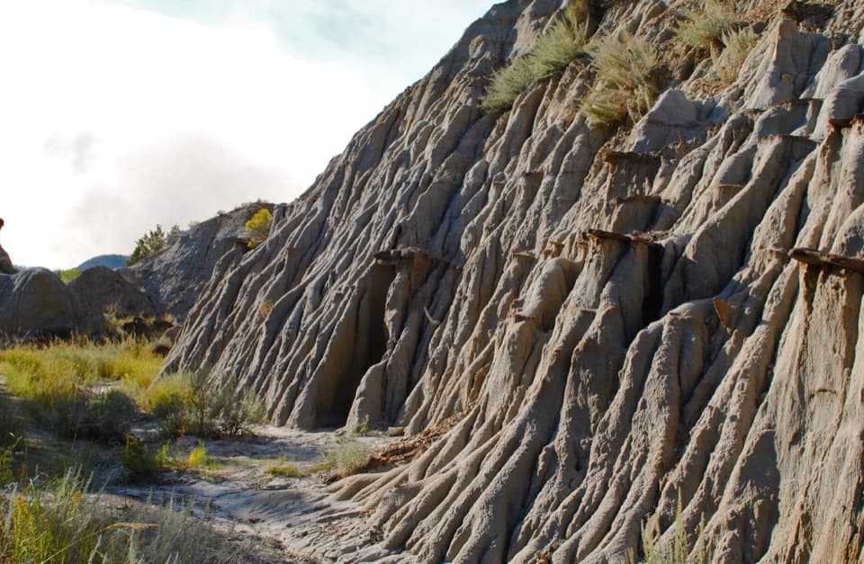
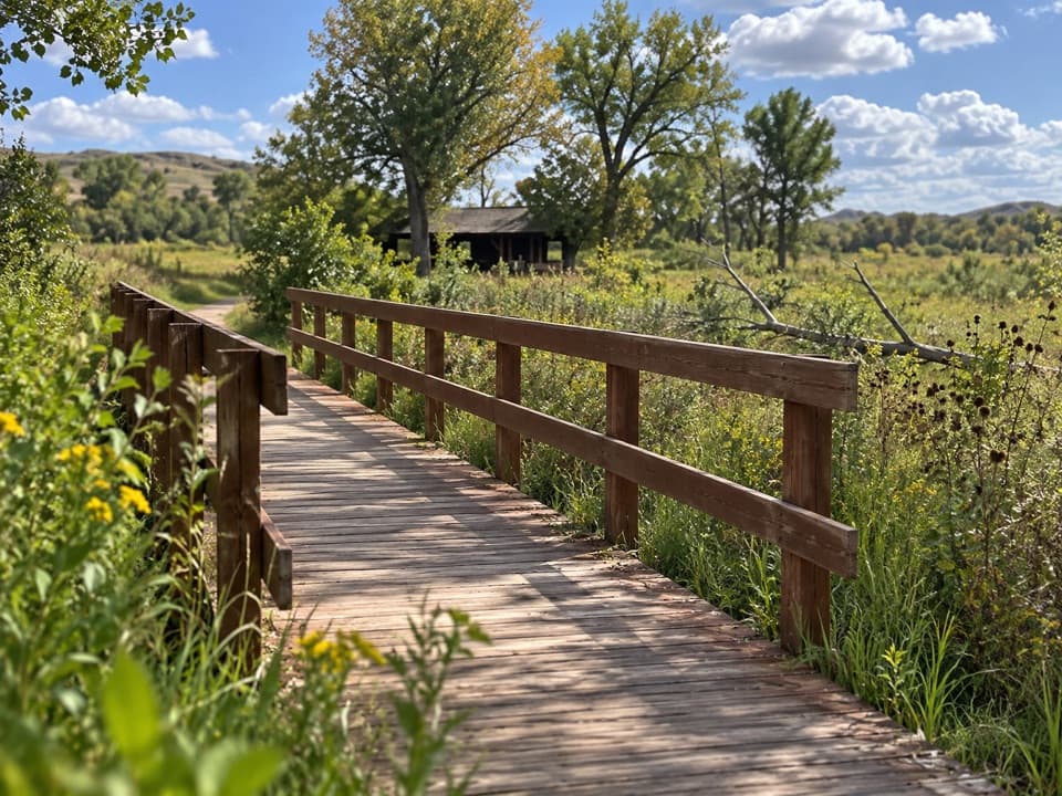
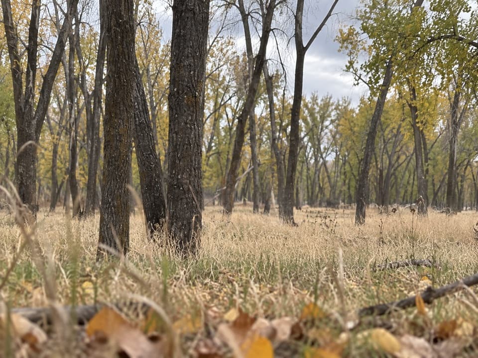
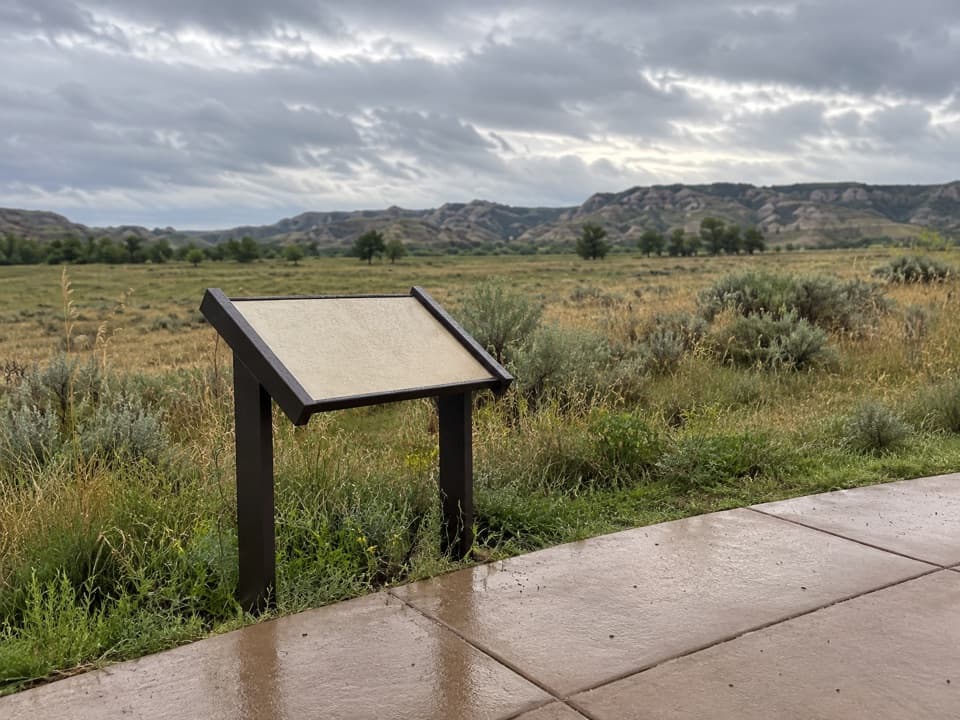
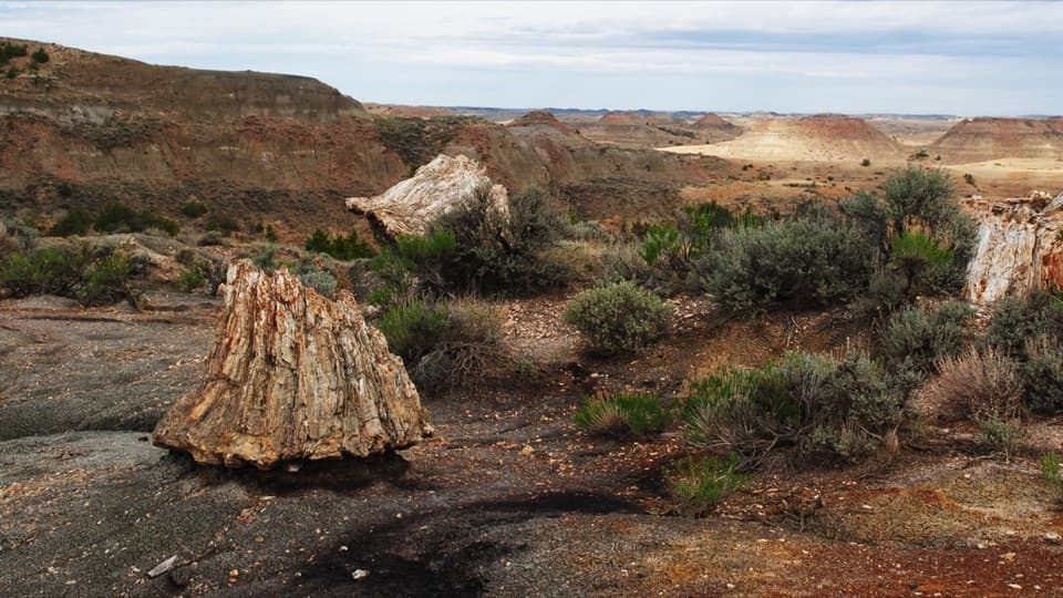
The first three-quarters of a mile follows the Caprock Coulee Nature Trail along a steep-sided, usually dry valley. Numbered stops explain the rocks and plants. Juniper and woody cover make this the greener, more sheltered stretch. Look for the exposed piece of petrified wood among the grasses and leave it where it is. It formed about 55 million years ago, when trees such as cypress or magnolia grew in a much wetter landscape.

Up to the ridgeBeyond the nature-trail marker, the route climbs out toward the grassy butte.

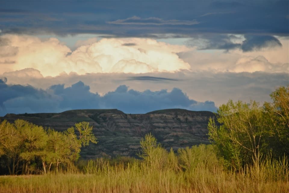
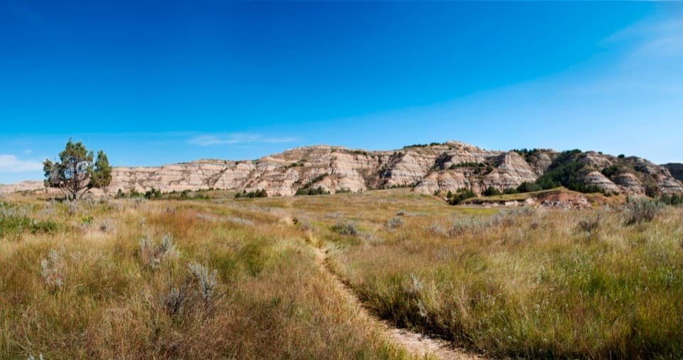
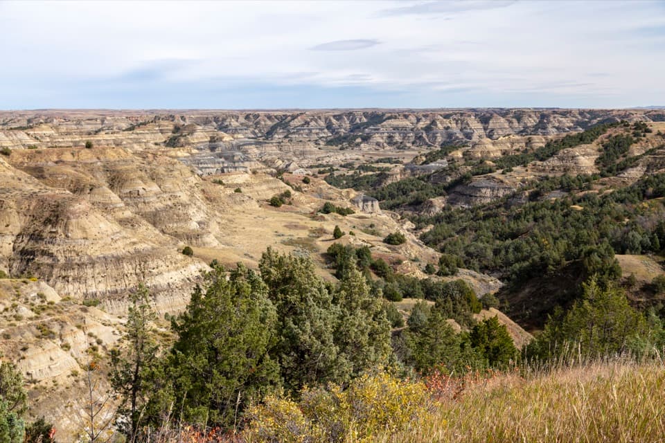
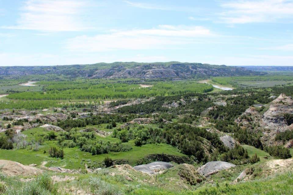
Beyond the nature-trail marker, the route climbs out toward the grassy butte. The path steepens, with stairs in places, and the trees give way to open high ground. The narrow ridge is the most demanding part, with steep ravines on one side and views across striped badlands on the other. Caprock shelves and clay pillars sit close to the tread while the Little Missouri valley opens below. Watch the path where the ridge breaks into gullies.

River Bend and the returnAbout halfway around, the loop crosses Scenic Drive and reaches the River Bend Overlook parking…

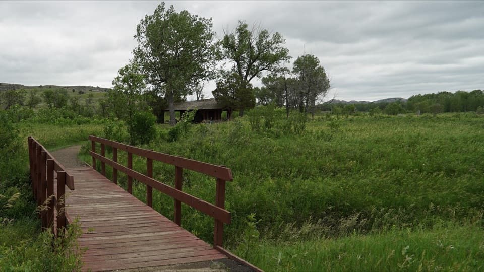
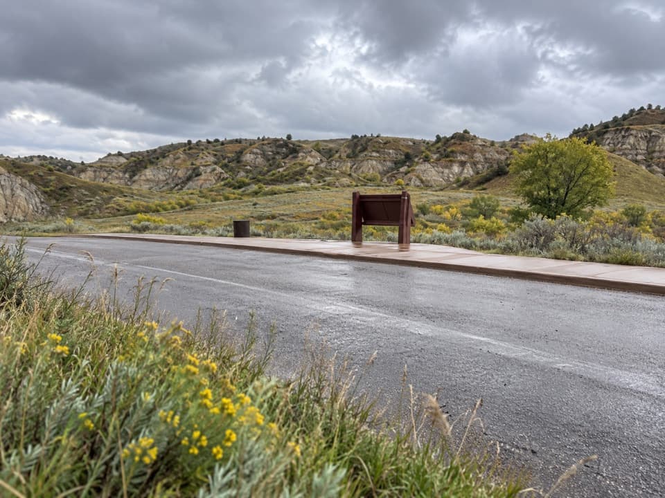
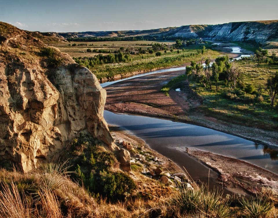
About halfway around, the loop crosses Scenic Drive and reaches the River Bend Overlook parking area. Take the short side walk to the stone shelter for the river bend and badlands beyond, then pick up the trail again at the far, east end of the lot. The path climbs a grassy rise, drops through a juniper-filled ravine and follows another narrow ridge before winding steeply down to the starting lot. For a photo, include a caprock shelf in the foreground with the river valley beyond; it shows the scale of both the rock and the drop.

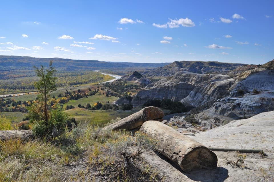
What the caprock isThe thin rust-red cap is iron-rich sandstone, harder than the gray sediments beneath it.

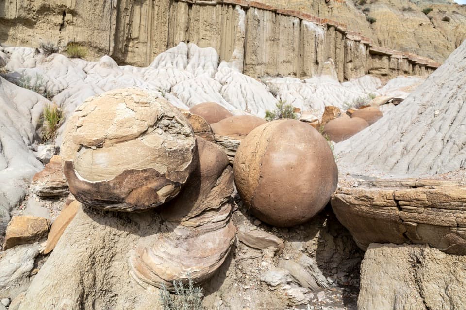
The thin rust-red cap is iron-rich sandstone, harder than the gray sediments beneath it. It resists erosion and protects softer layers, leaving the shelves and pillars that shape the buttes. Blue-gray bentonite formed from volcanic ash; when it takes on water it swells and can flow down a slope. That makes the clay slick after heavy rain or snowmelt. The word coulee came into local use through French-speaking fur traders for narrow, water-cut valleys.

Grassland, juniper and wildlifeDry prairie grass covers the buttes and sunny slopes; cooler north-facing ravines hold more…

Dry prairie grass covers the buttes and sunny slopes; cooler north-facing ravines hold more juniper and green ash. Sagebrush and prickly pear grow among the grass and clay. Seeps draw animals, so tracks can be easier to find than the animals themselves. Bison and deer may pass through, but sightings are never guaranteed; keep at least 25 yards away.

Make the walk workThe small Caprock Coulee lot is on Scenic Drive, roughly six miles west of the North Unit…

The small Caprock Coulee lot is on Scenic Drive, roughly six miles west of the North Unit Visitor Center. River Bend Overlook has separate road access, but starting there makes a shorter ridge walk rather than this full loop. Carry enough water for the whole hike; no refill point is identified. Save the trail guide before leaving because trailhead copies have sometimes been missing. A day hike needs no trail-specific permit, though the normal park entrance pass applies. Pets, bicycles and motorized equipment are prohibited on park trails. The River Bend shelter is a shaded rest stop, not a food service.

Wildlife

Wildlife in Theodore Roosevelt

All Theodore Roosevelt wildlife maps

Sighting maps show where each species has been reported across Theodore Roosevelt. Wildlife moves, so no sighting is guaranteed.

Keep exploring

Near Caprock Coulee Trail

See it all on the map

Trails that start nearby

Places near the trailhead

Parkwolf’s Theodore Roosevelt ranking

Top-rated trails in Theodore Roosevelt

All 38 trails
  1. 2Wind Canyon TrailModerate · 0.5 mi
  2. 3Petrified Forest LoopModerate · 10.3 mi
  3. 4Painted Canyon Nature TrailModerate · 0.9 mi
  4. 5Big Plateau and Ekblom Trail LoopModerate · 5.4 mi
  5. 6Boicourt Overlook TrailEasy · 0.8 mi
  6. 7Buck Hill TrailModerate · 0.4 mi

Take Parkwolf to Theodore Roosevelt.

The audio tour guide for the drive, plus offline maps, trails, and wildlife heatmaps for when the signal drops.

4.7 from 8,600+ ratings

Download Parkwolf on the App StoreGet Parkwolf on Google Play