Petrified Forest - North in Theodore Roosevelt National Park

Sight · Theodore Roosevelt National Park

Petrified Forest - North

A backcountry hike to upright fossil trees in a badlands valley.

Photo: National Park Service
Type
Sight
Nearest trail
0.9 mi
Audio stories
1 nearby
  • Trailhead
  • Parking
  • Scenic viewpoint
  • #13 of 26 sights

Hear the audio tour

Petrified Forest: The North Wood Field

Overview

About Petrified Forest - North

Why stop

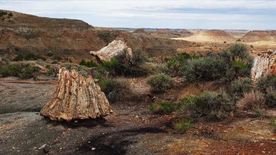
  • The valley has upright fossil trunks, some taller than six feet.

Heads up

  • A steep, exposed three-mile walk follows a remote gravel-road drive.

Map

Where it is

Loading the Theodore Roosevelt map
Full map
SightPetrified Forest - North46.99845, -103.58652
Keep this map with you offline in the Parkwolf app

Plan your stop

Before you go

Getting there and making it work

The remote trailhead is about 50 minutes from Medora by dirt and gravel roads. Check the park’s current directions before setting out and follow the marked access; the road approaches run near private property. There is a parking area, but its size isn’t listed. No food, drinking water or restrooms are listed at the trailhead, so bring what you need. Park admission may apply; the hike has no separate activity fee. The trail is open year-round, but weather can make the clay and slopes unstable. Dogs aren’t allowed; service animals must be on a leash no longer than six feet.


2 active Theodore Roosevelt alerts

  • InfoChanged access route to Petrified Forest trailheadMentions Petrified Forest, referenced in this guideUse the approved legal route from I-94 Exit 10 to reach the Petrified Forest trailhead; follow the clearly marked posts.Official details
  • ClosureRidgeline Nature Trail inaccessibleDo not plan to use the South Unit’s Ridgeline Nature Trail; it is currently inaccessible because of a road collapse. - The trail is 0.6 mile long.Official details
Theodore Roosevelt alerts
A park ranger sits on a dash-mounted phone, talking, as Parkwolf’s Tour Guide plays “Army Cutworm Moths: A Grizzly Bear Buffet” on Grand Loop Road below Dunraven Pass in Yellowstone
Parkwolf Tour GuideThe highest, rockiest slopes around here are a summer buffet for grizzly bears.

Theodore Roosevelt Tour Guide

Your drive to Petrified Forest - North, narrated.

Parkwolf is a GPS audio tour guide for Theodore Roosevelt National Park. As you drive, it chimes in with what’s ahead: hidden gems, upcoming stops, history, geology, and wildlife, right through your car’s speakers.

Recorded for this place

Petrified Forest: The North Wood Field
0:00 / 0:28
“You're approaching Petrified Forest trailhead. For the fossil trees, I'd choose the North branch: a three-mile round trip to the larger concentration of stumps, including upright trunks taller than six feet.”

Plays as you drive up to Petrified Forest - North in the Parkwolf Theodore Roosevelt Tour Guide.

More stories near here in the app

  • Cottonwood Campground: A Riverside Base
  • A Prairie Dog Greeting
  • Beef Corral Bottom: Prairie Dogs and Cattle History
  • Peaceful Valley Ranch: Ranch House to Park Headquarters
  • 45 audio storiesacross Theodore Roosevelt’s roads, triggered by GPS as you drive
  • Wildlife heatmapsfor Bison, Wild Horse, Wapiti, and 13 more
  • Works offlinemaps, 38 trails, 35 places, and audio download before you lose signal
  • CarPlay readysimple controls built for the drive
★★★★★
“Fantastic app with many points of information… It’s great to just turn on while you’re driving and it gives you an audio tour of the national Park. We love it!!!!”
JMJamesApp Store review
Download Parkwolf on the App StoreGet Parkwolf on Google Play

4.7 from 8,600+ ratings

Guide

More about Petrified Forest - North

A backcountry stop, not a pulloutPetrified Forest - North is a remote fossil-wood valley in the park’s South Unit, with upright…

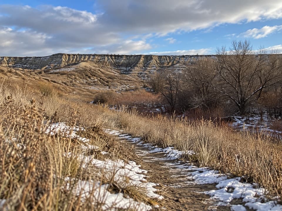
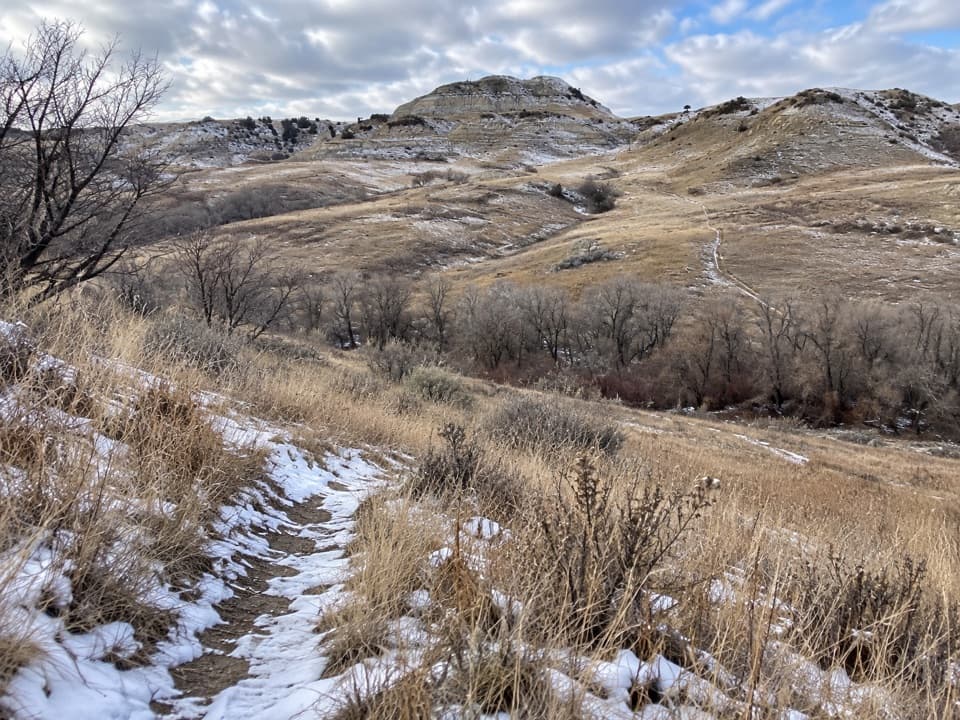
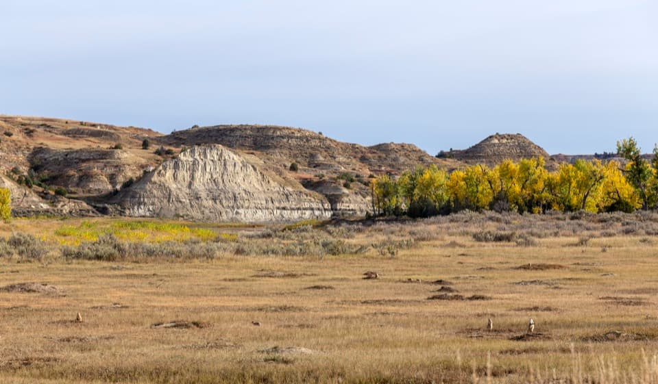
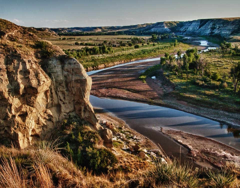
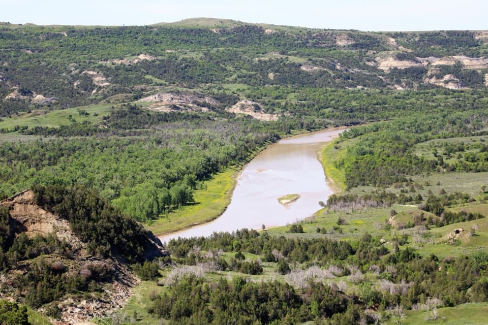
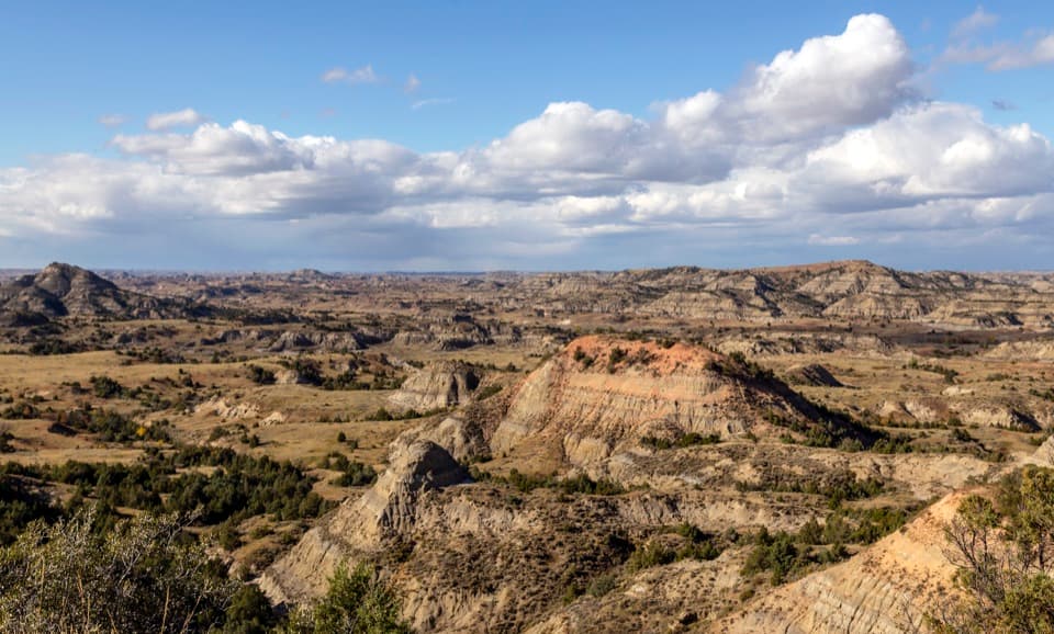
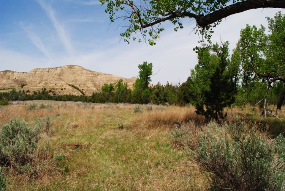
Petrified Forest - North is a remote fossil-wood valley in the park’s South Unit, with upright petrified trunks among badlands slopes. Reaching it takes a rough three-mile round trip from the parking area, so save it for a day when you want the hike as much as the trees. The route is unpaved and uneven, with a steep clay hill, loose footing and almost no shade. Bentonite gets very slippery when wet; skip the walk if the ground is slick. Carry at least one liter of water per person per hour.

What the north fork is likeThe trail crosses uneven ground for about half a mile, climbs a steep bentonite hill, then…

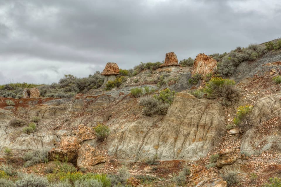
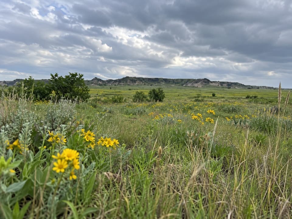
The trail crosses uneven ground for about half a mile, climbs a steep bentonite hill, then forks across rolling prairie. The northern branch runs over open ground with occasional bison wallows before dropping into a valley of upright stumps, concretions and cracked earth. Some trunks rise more than six feet. The north concentration has slightly more stumps than the southern one; the south has the more dramatic southeast views.
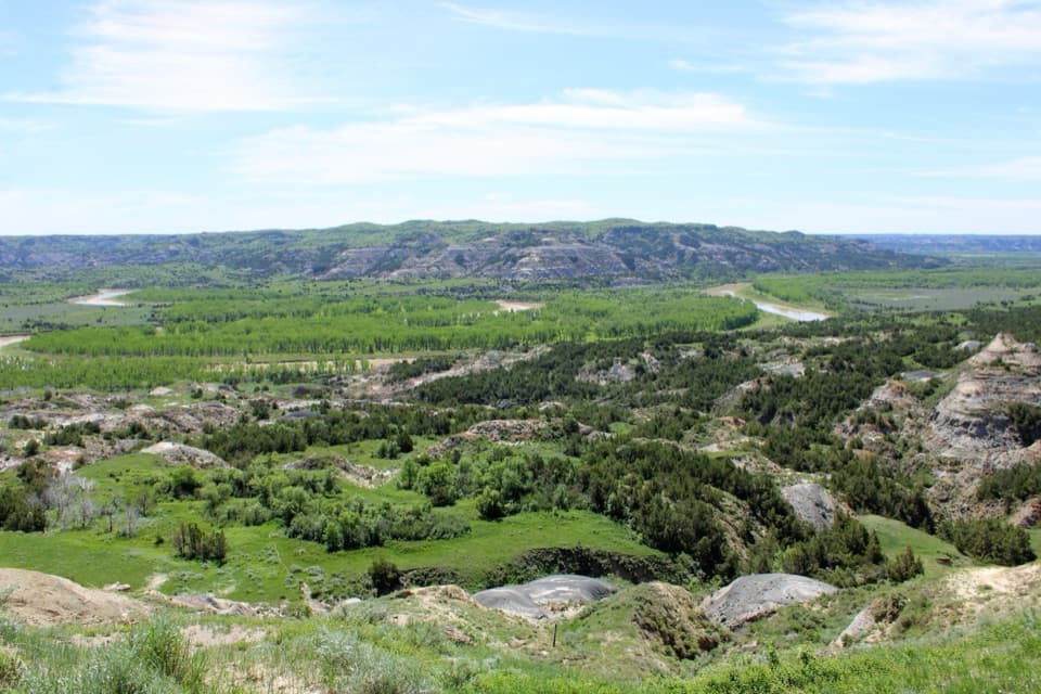
A large ridged stump makes a natural foreground for a photo. Keep some of the valley behind it so the surrounding badlands give the fossil wood a sense of scale.

A forest from the PaleoceneAround 65 million years ago, soon after the dinosaurs disappeared, this area was a swampy delta.

Around 65 million years ago, soon after the dinosaurs disappeared, this area was a swampy delta. Sequoia, bald cypress and magnolia grew here. A crocodile-like Champsosaurus gigas, turtles, snails and clams also lived in that ancient landscape.

How the trees became stoneSediment buried the trees, and mineral-rich groundwater gradually replaced their organic…

Sediment buried the trees, and mineral-rich groundwater gradually replaced their organic material. Later erosion stripped away softer layers and exposed the petrified wood in the badlands. The fossil trunks are still scattered through the valley where the forest once stood, which makes the north fork a closer look at the park’s ancient landscape than a quick roadside view.

Wildlife

Wildlife in Theodore Roosevelt

All Theodore Roosevelt wildlife maps

Sighting maps show where each species has been reported across Theodore Roosevelt. Wildlife moves, so no sighting is guaranteed.

Keep exploring

Near Petrified Forest - North

See it all on the map

Trails nearby

More stops nearby

Parkwolf’s Theodore Roosevelt ranking

Top sights in Theodore Roosevelt

All 35 places
  1. 1River Bend OverlookSight
  2. 2Painted Canyon Overlook and Visitor CenterSight
  3. 3Maltese Cross CabinSight
  4. 4Oxbow OverlookSight
  5. 5Wind CanyonSight
  6. 6Elkhorn Ranch Cabin SiteSight

Take Parkwolf to Theodore Roosevelt.

The audio tour guide for the drive, plus offline maps, trails, and wildlife heatmaps for when the signal drops.

4.7 from 8,600+ ratings

Download Parkwolf on the App StoreGet Parkwolf on Google Play