Petrified Forest Loop in Theodore Roosevelt National Park

#3 of 38 trails in Theodore Roosevelt

Theodore Roosevelt National Park, ND

Petrified Forest Loop

A long, exposed loop linking two petrified wood fields.

Photo: National Park Service
Length
10.3mi
Time
5.5hr
Elev. change
331ft
Difficulty
Moderate
  • Loop
  • No dogs
  • High point 2,717 ft

Hear the audio tour

Petrified Forest: The North Wood Field

Overview

About Petrified Forest Loop

Why go

  • One circuit reaches two distinct petrified wood fields.
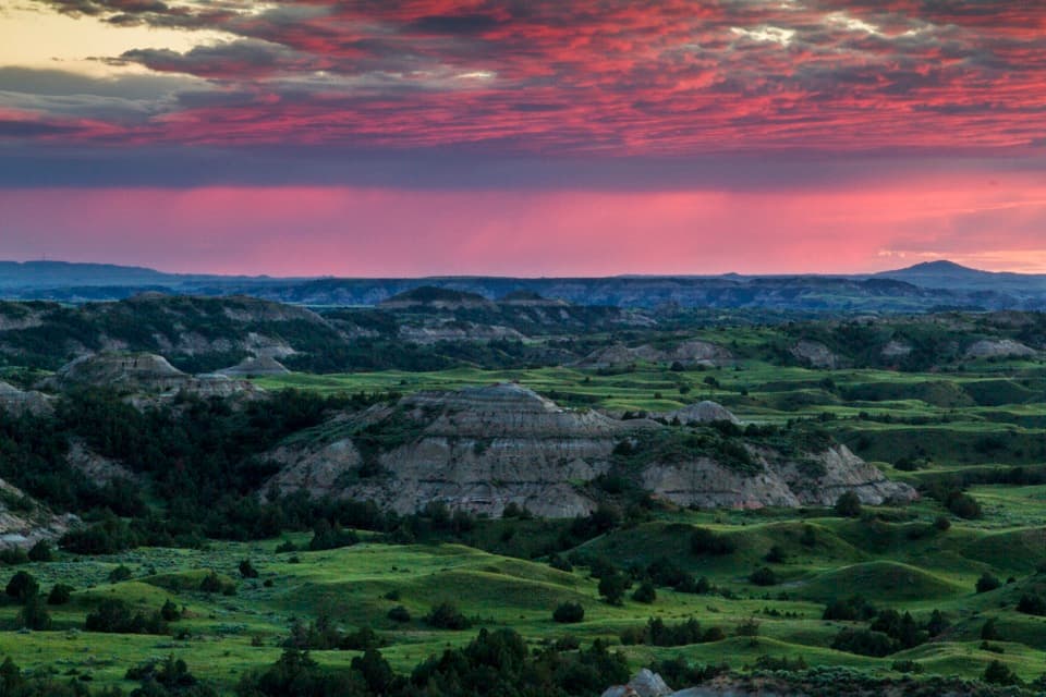
  • Open prairie and badlands views make the connecting miles worthwhile.

Heads up

  • Ten miles of exposed terrain with little to no shade.
  • The remote dirt-road approach takes about 50 minutes from Medora.

Map & elevation

The route

Loading the Theodore Roosevelt map
Full map
Elevation2,385–2,717 ft
TrailheadPetrified Forest Trailhead46.99622, -103.60478
Keep this map with you offline in the Parkwolf app

Plan your hike

Before you go

Parking

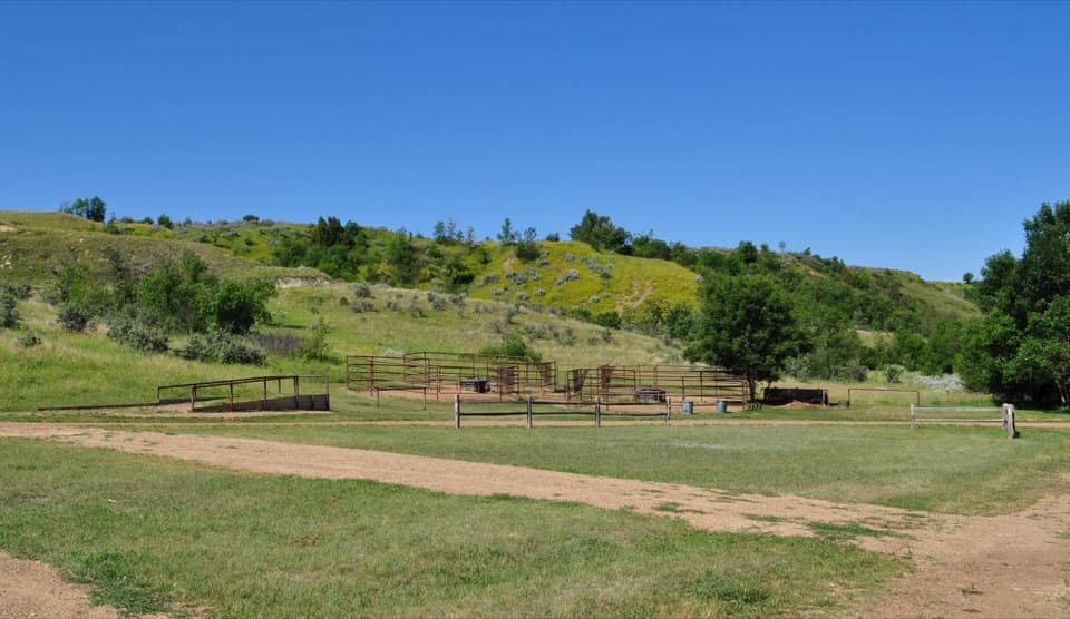
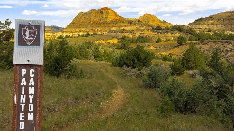
Start at Petrified Forest Trailhead and the lift gate behind its sign. The remote dirt-and-gravel approach takes about 50 minutes from Medora; follow the marked Exit 10 route toward Camels Hump Lake. Older West River Road directions lead onto private land.

Safety

There is little to no shade. NPS recommends at least 1 litre of water per person per hour, especially in summer; no trailhead water source is listed. The unmaintained tread can be uneven or loose, and wet clay gets slick and sticks to footwear. Route-finding can be difficult. Bison may be near the trail; give wildlife space. Pets are prohibited.

2 active Theodore Roosevelt alerts

  • InfoPetrified Forest trailhead: use approved routeMentions this trailUse the approved legal route from I-94, Exit 10 toward Camels Hump Lake, and follow the clearly marked posts to the Petrified Forest trailhead.Official details
  • ClosureRidgeline Nature Trail inaccessibleThe South Unit’s 0.6-mile Ridgeline Nature Trail is currently inaccessible because of a road collapse. Check current park conditions.Official details
Theodore Roosevelt alerts
A park ranger sits on a dash-mounted phone, talking, as Parkwolf’s Tour Guide plays “Army Cutworm Moths: A Grizzly Bear Buffet” on Grand Loop Road below Dunraven Pass in Yellowstone
Parkwolf Tour GuideThe highest, rockiest slopes around here are a summer buffet for grizzly bears.

Theodore Roosevelt Tour Guide

Your drive to Petrified Forest Loop, narrated.

Parkwolf is a GPS audio tour guide for Theodore Roosevelt National Park. As you drive, it chimes in with what’s ahead: hidden gems, upcoming stops, history, geology, and wildlife, right through your car’s speakers.

See the Theodore Roosevelt audio tour

Recorded for this trailhead

Petrified Forest: The North Wood Field
0:00 / 0:28
“You're approaching Petrified Forest trailhead. For the fossil trees, I'd choose the North branch: a three-mile round trip to the larger concentration of stumps, including upright trunks taller than six feet.”

Plays as you drive up to this trailhead in the Parkwolf Theodore Roosevelt Tour Guide.

More stories near here in the app

  • Cottonwood Campground: A Riverside Base
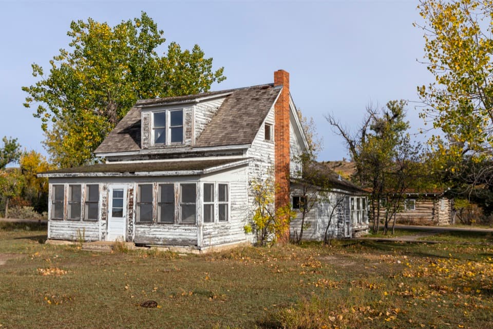
  • Peaceful Valley Ranch: Ranch House to Park Headquarters
  • Skyline Vista: The Valley Between Two Remnants
  • Beef Corral Bottom: Prairie Dogs and Cattle History
  • 45 audio storiesacross Theodore Roosevelt’s roads, triggered by GPS as you drive
  • Wildlife heatmapsfor Bison, Wild Horse, Wapiti, and 13 more
  • Works offlinemaps, 38 trails, 35 places, and audio download before you lose signal
  • CarPlay readysimple controls built for the drive
★★★★★
“Fantastic app with many points of information… It’s great to just turn on while you’re driving and it gives you an audio tour of the national Park. We love it!!!!”
JMJamesApp Store review
Download Parkwolf on the App StoreGet Parkwolf on Google Play

4.7 from 8,600+ ratings

Trail guide

Hiking Petrified Forest Loop

The full loopPetrified Forest Loop is a 10.

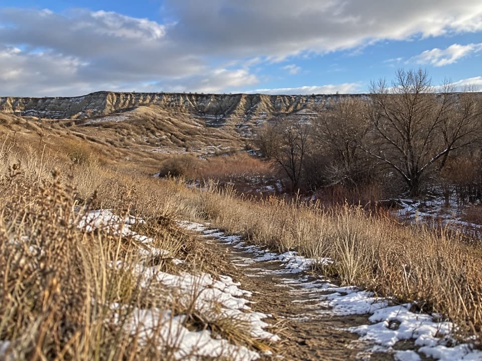
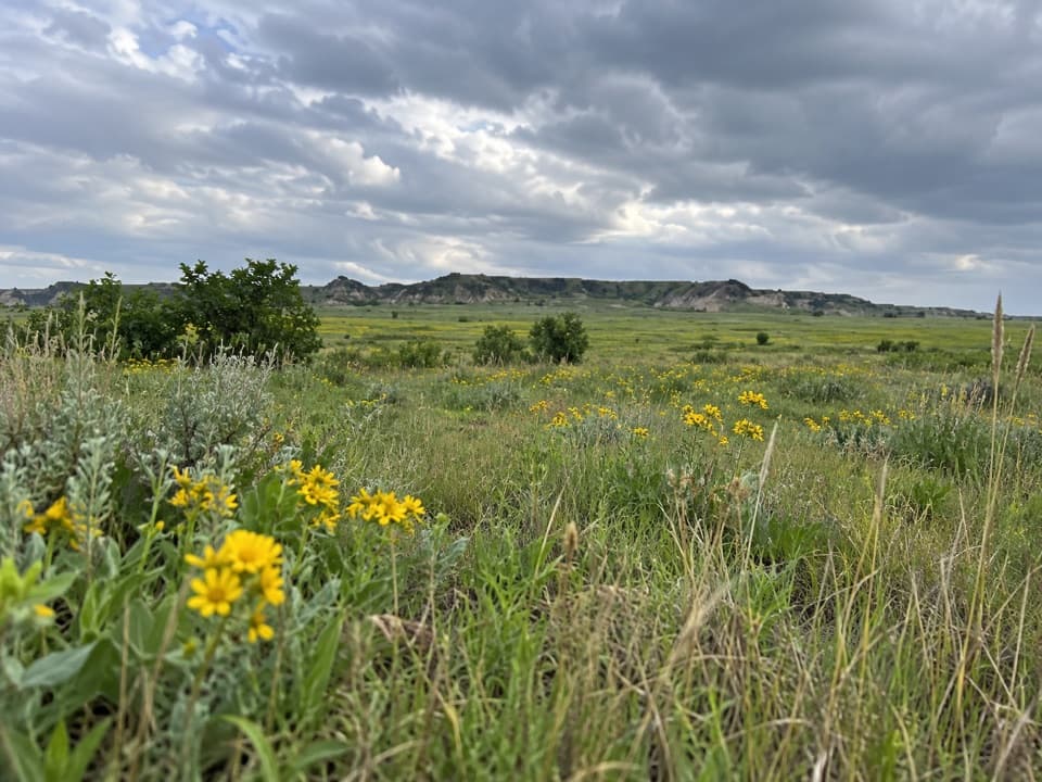
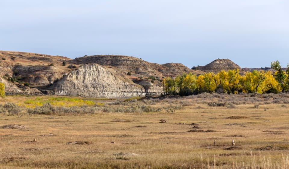
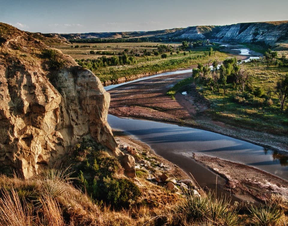
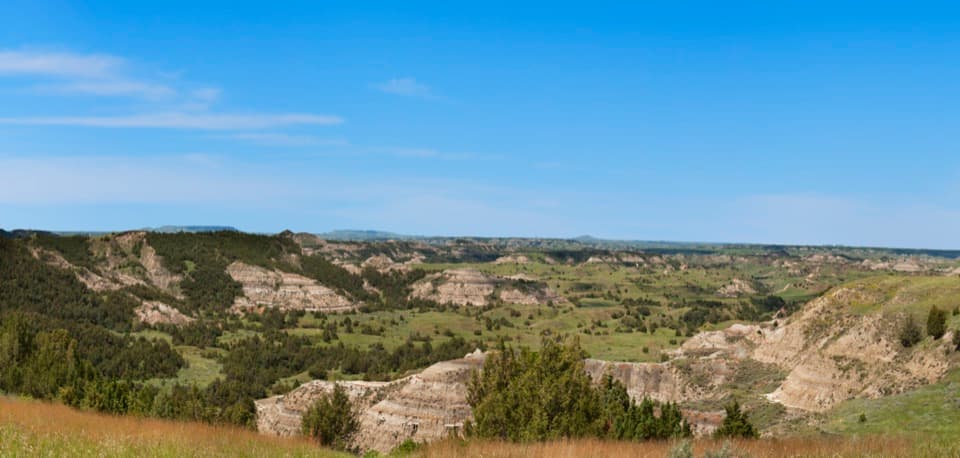
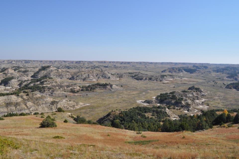
Petrified Forest Loop is a 10.3-mile circuit through the North and South Petrified Forest areas in the remote northwest of Theodore Roosevelt’s South Unit. It climbs from the badlands onto open prairie, visits both wood fields, and links them with a stretch of the Maah Daah Hey Trail. The route returns to the Petrified Forest Trailhead on a shared approach spur, so the total includes a short section walked both ways. Allow five to six hours; this is a half-day backcountry hike, not a quick walk from the parking area to one stump.

Pick the right versionIf you mainly want to see petrified wood, NPS also describes a roughly 3-mile round trip to…

If you mainly want to see petrified wood, NPS also describes a roughly 3-mile round trip to either wood section, each about 1.5 miles from the parking area. Those are separate out-and-back visits. The full loop is for hikers who want both forests and the open country between them. If five or six hours in exposed terrain doesn’t fit your day, choose one section and return the same way.

Two different wood fieldsThe route drops from prairie into badlands valleys where trunks and stumps lie exposed among…

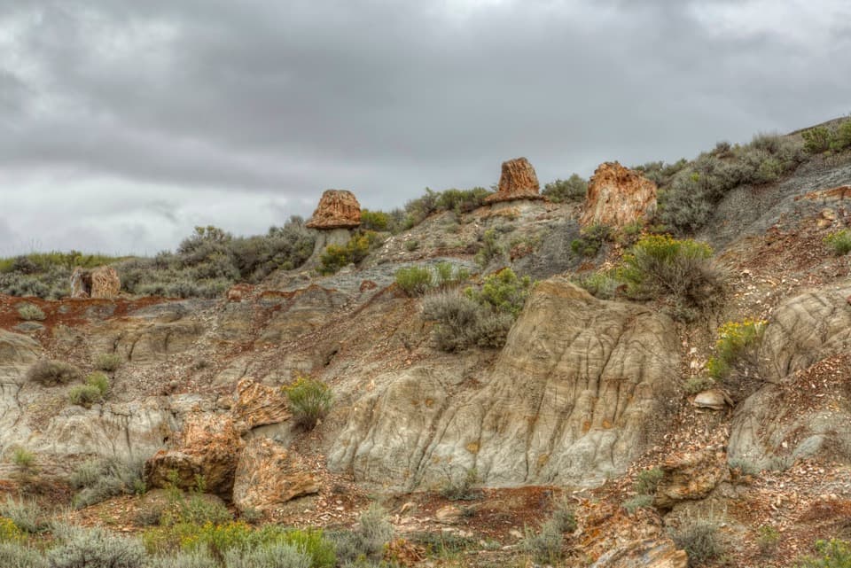
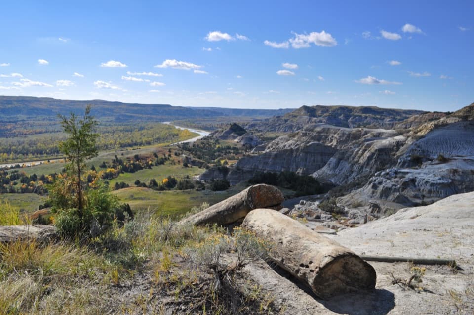
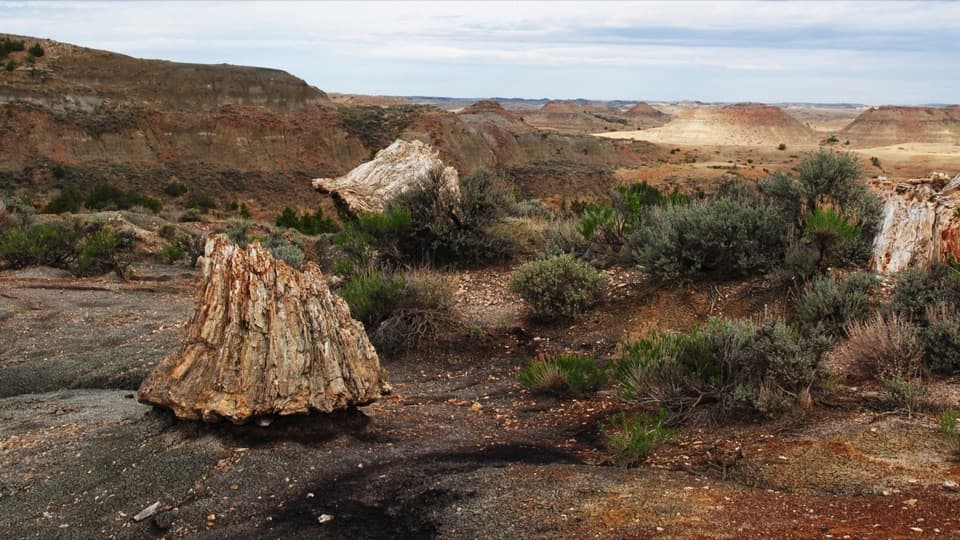
The route drops from prairie into badlands valleys where trunks and stumps lie exposed among the eroded slopes. The North section has an optional climb up the far hillside for a view back over the wood. The South field is broader and more scattered; larger pieces are farther into it, and another climb reaches a plateau overlook. Take time to look around rather than treating the wood as a single photo stop: the two areas have different shapes and scale.

A rough, open walkExpect an unmaintained tread with occasional uneven ground and loose stone.

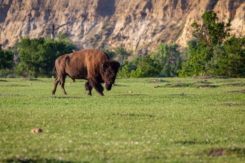
Expect an unmaintained tread with occasional uneven ground and loose stone. There’s little to no shade across the open sections, and wet clay can turn slick and cling to footwear. NPS recommends at least 1 litre of water per person per hour, especially in summer. Visitors also report that the long loop can be hard to follow in places, so check the route before leaving the trailhead and carry an offline map. Bison and wild horses roam the South Unit; sightings are a possibility, not a promise.

Why the wood is hereThese are fossils, not ordinary fallen logs.

These are fossils, not ordinary fallen logs. More than 65 million years ago, swamp forests grew here among trees such as sequoias and bald cypress. Silica-rich groundwater later replaced the wood with quartz, sometimes preserving the grain and growth rings. The park describes its petrified wood as the third-largest concentration in the United States. Leave every piece where it is: removing petrified wood, rocks, or other park resources is illegal.

Getting thereThe trail begins at the lift gate behind the Petrified Forest Trailhead sign.

The trail begins at the lift gate behind the Petrified Forest Trailhead sign. The remote dirt-and-gravel approach takes about 50 minutes from Medora. Follow the marked Exit 10 route toward Camels Hump Lake; older West River Road directions lead onto private land. No food, toilet, or water source is listed for the trailhead, so arrive with what you need for the drive and hike. Pets aren’t allowed on this route.

Wildlife

Wildlife in Theodore Roosevelt

All Theodore Roosevelt wildlife maps

Sighting maps show where each species has been reported across Theodore Roosevelt. Wildlife moves, so no sighting is guaranteed.

Keep exploring

Near Petrified Forest Loop

See it all on the map

Trails that start nearby

Places near the trailhead

Parkwolf’s Theodore Roosevelt ranking

Top-rated trails in Theodore Roosevelt

All 38 trails
  1. 1Caprock Coulee TrailModerate · 4.3 mi
  2. 2Wind Canyon TrailModerate · 0.5 mi
  3. 4Painted Canyon Nature TrailModerate · 0.9 mi
  4. 5Big Plateau and Ekblom Trail LoopModerate · 5.4 mi
  5. 6Boicourt Overlook TrailEasy · 0.8 mi
  6. 7Buck Hill TrailModerate · 0.4 mi

Take Parkwolf to Theodore Roosevelt.

The audio tour guide for the drive, plus offline maps, trails, and wildlife heatmaps for when the signal drops.

4.7 from 8,600+ ratings

Download Parkwolf on the App StoreGet Parkwolf on Google Play