Petrified Forest to Overlook in Theodore Roosevelt National Park

Theodore Roosevelt National Park, ND

Petrified Forest to Overlook

Two fossil valleys and a wide-open prairie, without the full-loop grind.

Photo: National Park Service
Length
5.2mi
Time
3hr
Elev. change
151ft
Difficulty
Moderate
  • Loop
  • No dogs
  • High point 2,726 ft

Hear the audio tour

Petrified Forest: The North Wood Field

Overview

About Petrified Forest to Overlook

Why go

  • One outing reaches both fossil-wood valleys and their plateau views.
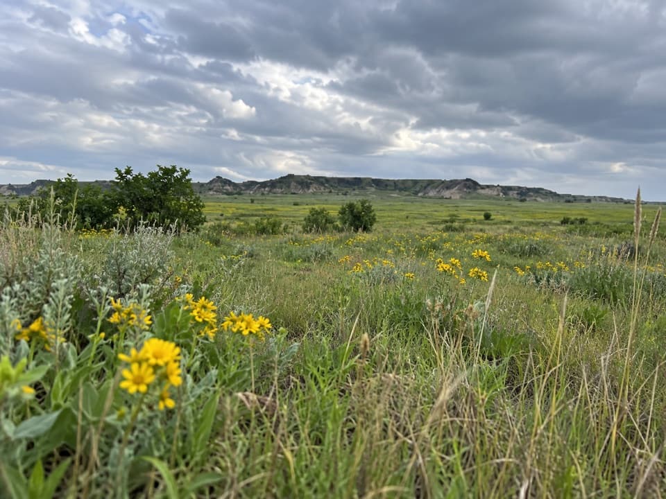
  • Open prairie and eroded badlands give the approach a strong sense of space.

Heads up

  • The trailhead takes a long dirt-and-gravel-road drive to reach.
  • Little shade, loose footing, and steep slopes make conditions matter.

Map & elevation

The route

Loading the Theodore Roosevelt map
Full map
Elevation2,575–2,726 ft
TrailheadPetrified Forest Trailhead / lift gate46.99622, -103.60478
Keep this map with you offline in the Parkwolf app

Plan your hike

Before you go

Parking

Start at Petrified Forest Trailhead, behind the sign at the lift gate. The drive from Medora is about 50 minutes on dirt and gravel roads. Use the current approved access from I-94 Exit 10 toward Camels Hump Lake, follow the marked posts, and stay on the designated roads through private property; check current NPS directions before leaving.


Safety

This remote, unmaintained route has steep slopes, uneven footing, and loose stone; wet weather can make the ground slippery or unstable. Shade is scarce, so bring ample water (the park recommends at least 1 liter per person per hour). Bison may be on or near the trail; do not approach them. Pets are prohibited except for leashed service animals.

2 active Theodore Roosevelt alerts

  • InfoChanged access route to Petrified Forest trailheadMentions Petrified Forest, referenced in this guideUse the approved legal route from I-94 Exit 10 to reach the Petrified Forest trailhead; follow the clearly marked posts.Official details
  • ClosureRidgeline Nature Trail inaccessibleDo not plan to use the South Unit’s Ridgeline Nature Trail; it is currently inaccessible because of a road collapse. - The trail is 0.6 mile long.Official details
Theodore Roosevelt alerts
A park ranger sits on a dash-mounted phone, talking, as Parkwolf’s Tour Guide plays “Army Cutworm Moths: A Grizzly Bear Buffet” on Grand Loop Road below Dunraven Pass in Yellowstone
Parkwolf Tour GuideThe highest, rockiest slopes around here are a summer buffet for grizzly bears.

Theodore Roosevelt Tour Guide

Your drive to Petrified Forest to Overlook, narrated.

Parkwolf is a GPS audio tour guide for Theodore Roosevelt National Park. As you drive, it chimes in with what’s ahead: hidden gems, upcoming stops, history, geology, and wildlife, right through your car’s speakers.

Recorded for this trailhead

Petrified Forest: The North Wood Field
0:00 / 0:28
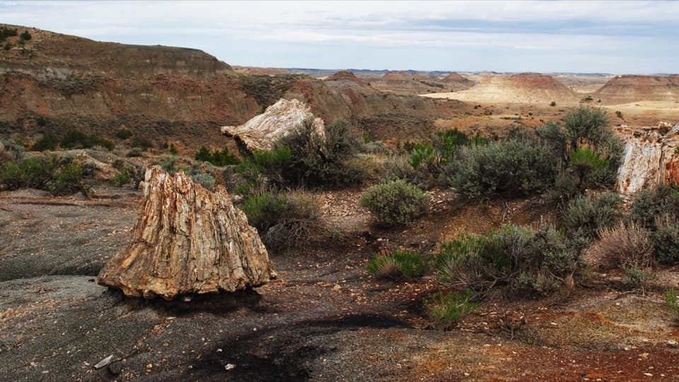
“You're approaching Petrified Forest trailhead. For the fossil trees, I'd choose the North branch: a three-mile round trip to the larger concentration of stumps, including upright trunks taller than six feet.”

Plays as you drive up to this trailhead in the Parkwolf Theodore Roosevelt Tour Guide.

More stories near here in the app

  • Cottonwood Campground: A Riverside Base
  • Peaceful Valley Ranch: Ranch House to Park Headquarters
  • Skyline Vista: The Valley Between Two Remnants
  • Beef Corral Bottom: Prairie Dogs and Cattle History
  • 45 audio storiesacross Theodore Roosevelt’s roads, triggered by GPS as you drive
  • Wildlife heatmapsfor Bison, Wild Horse, Wapiti, and 13 more
  • Works offlinemaps, 38 trails, 35 places, and audio download before you lose signal
  • CarPlay readysimple controls built for the drive
★★★★★
“Fantastic app with many points of information… It’s great to just turn on while you’re driving and it gives you an audio tour of the national Park. We love it!!!!”
JMJamesApp Store review
Download Parkwolf on the App StoreGet Parkwolf on Google Play

4.7 from 8,600+ ratings

Trail guide

Hiking Petrified Forest to Overlook

A two-area trip, not the full circuitPetrified Forest to Overlook is a remote 5.

Petrified Forest to Overlook is a remote 5.2-mile out-and-back from the Petrified Forest Trailhead that visits both the North and South areas of petrified wood. Climb to the prairie split, take the North branch and return to the marker, then visit the South area before retracing the shared approach. Allow two to four hours. This combined visit is shorter than the separate 10.4-mile loop; either fossil area can also be visited on its own roughly 3-mile out-and-back. The row’s “Overlook” name does not identify one signed viewpoint, so this version covers both valleys and their plateau views.

From badlands to the branch pointFrom the lift gate, an unpaved path climbs mostly uphill for about 0.

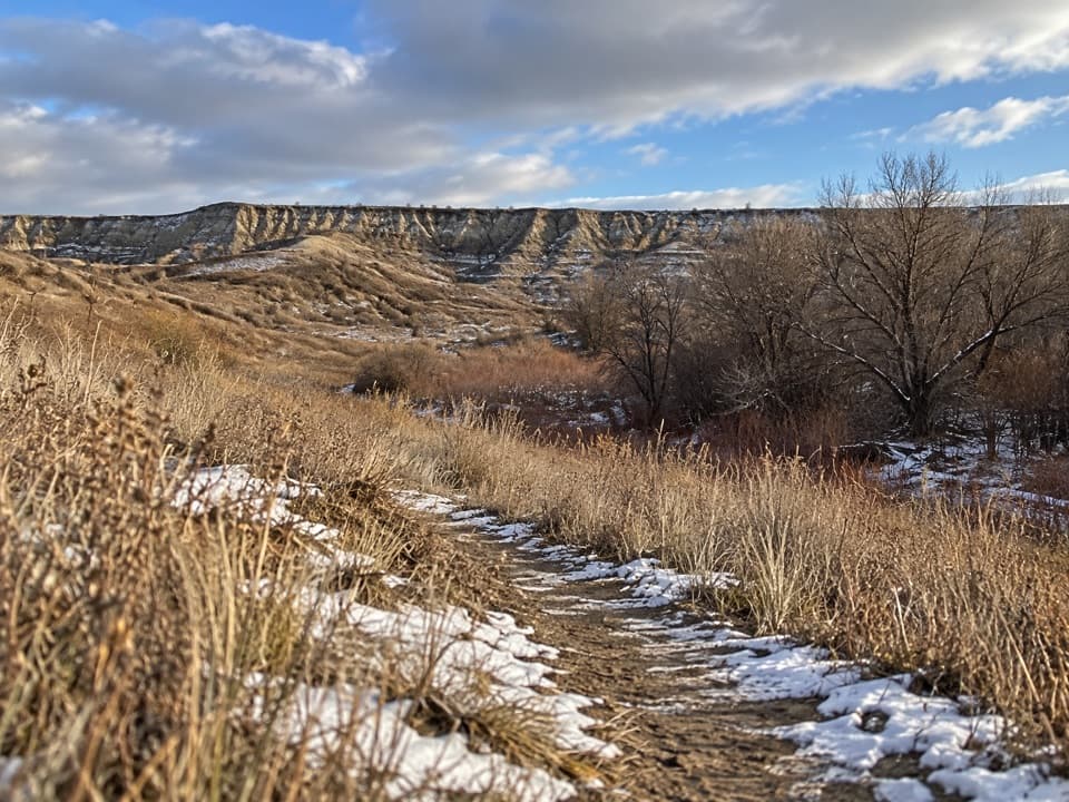
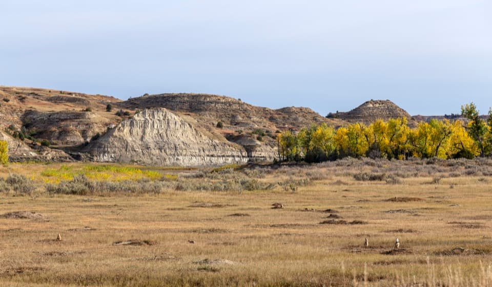
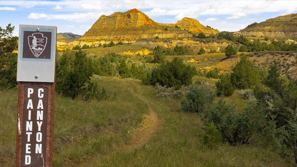
From the lift gate, an unpaved path climbs mostly uphill for about 0.6 mile through broken badlands to open prairie. You pass a fence; close it behind you. At the marker, the left branch heads north and the right branch south. Take the shorter North spur first: it drops into a valley where petrified wood is more concentrated, then you return to the junction. The South spur is a longer, gentler walk into a broader area, with smaller, more scattered pieces and larger trunks farther along.

A forest made of stoneThe park protects one of the country’s largest concentrations of petrified wood.

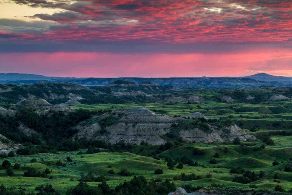
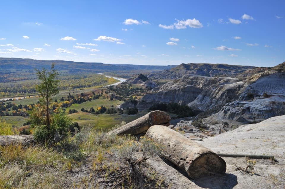
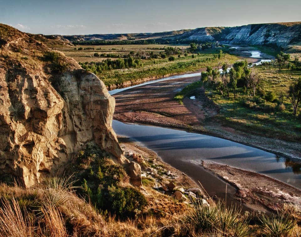
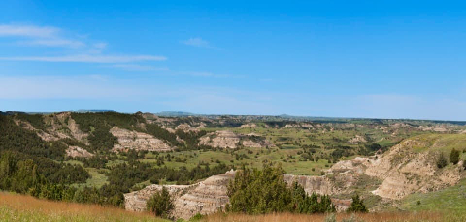
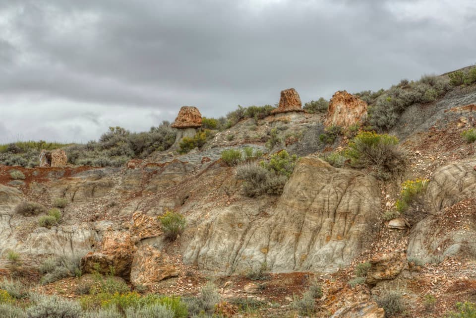
The park protects one of the country’s largest concentrations of petrified wood. These trunks are remnants of a much older swampy landscape, preserved as mineralized wood while erosion later cut the surrounding badlands into buttes and valleys. Each branch ends in a different fossil-wood valley, and the plateau above gives you a wider view across the open country. For a photo, get above the North valley and frame one of the trunks with the ridged badlands behind it. Leave every fossil, rock, and piece of wood where it is; removing park resources is illegal.

Come ready for open backcountryThere is little shade.

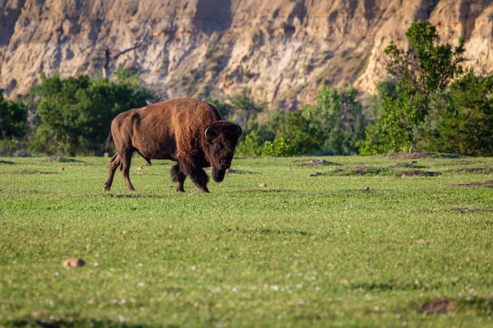
There is little shade. The trail is unmaintained, with steep slopes, uneven ground, and loose stone; after wet weather the surface can be slippery or unstable. Carry ample water—the park recommends at least a liter per person per hour, especially in summer. Bison may be on or near the route, so give wildlife room. Pets are not allowed; leashed service animals are permitted.

Wildlife

Wildlife in Theodore Roosevelt

All Theodore Roosevelt wildlife maps

Sighting maps show where each species has been reported across Theodore Roosevelt. Wildlife moves, so no sighting is guaranteed.

Keep exploring

Near Petrified Forest to Overlook

See it all on the map

Trails that start nearby

Places near the trailhead

Parkwolf’s Theodore Roosevelt ranking

Top-rated trails in Theodore Roosevelt

All 38 trails
  1. 1Caprock Coulee TrailModerate · 4.3 mi
  2. 2Wind Canyon TrailModerate · 0.5 mi
  3. 3Petrified Forest LoopModerate · 10.3 mi
  4. 4Painted Canyon Nature TrailModerate · 0.9 mi
  5. 5Big Plateau and Ekblom Trail LoopModerate · 5.4 mi
  6. 6Boicourt Overlook TrailEasy · 0.8 mi

Take Parkwolf to Theodore Roosevelt.

The audio tour guide for the drive, plus offline maps, trails, and wildlife heatmaps for when the signal drops.

4.7 from 8,600+ ratings

Download Parkwolf on the App StoreGet Parkwolf on Google Play