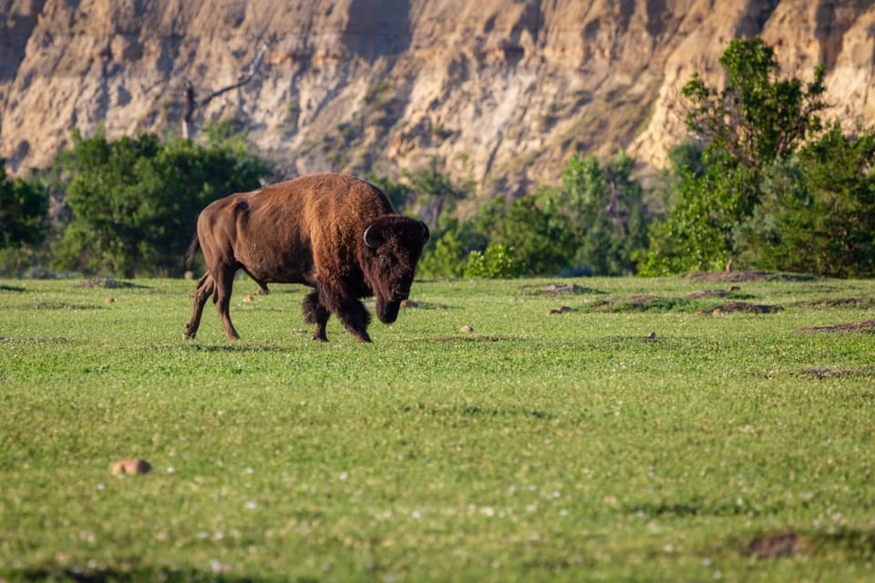
Beef Corral Bottom in Theodore Roosevelt National Park

Sight · Theodore Roosevelt National Park

Beef Corral Bottom

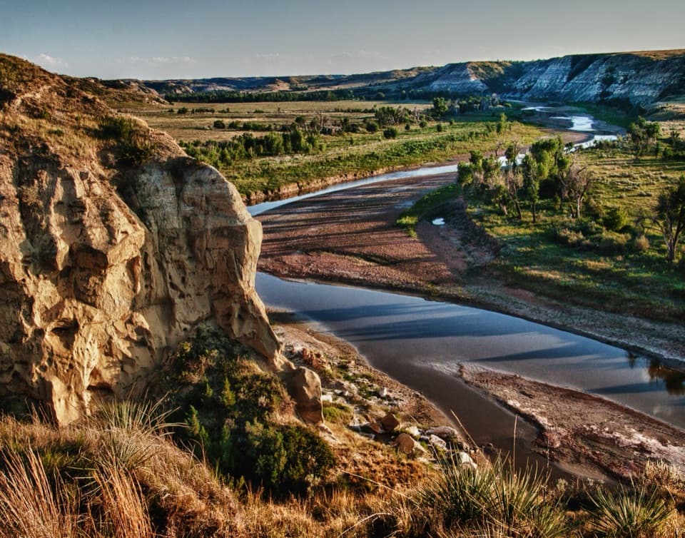
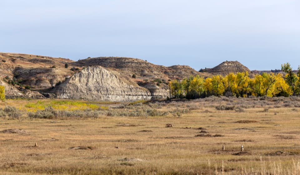
A prairie-dog town and river valley in one quick South Unit stop.

Photo: Wikimedia Commons
Type
Sight
Nearest trail
0.8 mi
Audio stories
6 nearby
  • Parking
  • Pullout
  • Scenic viewpoint
  • Exhibit

Hear the audio tour

Beef Corral Bottom: Prairie Dogs and Cattle History

Overview

About Beef Corral Bottom

Why stop

  • A wide river-valley view adds more than the prairie-dog town.

Heads up

  • The prairie dogs are across the bottom, so views can be distant.

Map

Where it is

Loading the Theodore Roosevelt map
Full map
SightBeef Corral Bottom46.97856, -103.49187
Keep this map with you offline in the Parkwolf app

Plan your stop

Before you go

2 active Theodore Roosevelt alerts

  • ClosureRidgeline Nature Trail inaccessibleDo not plan to use the South Unit’s Ridgeline Nature Trail; it is currently inaccessible because of a road collapse. - The trail is 0.6 mile long.Official details
  • InfoChanged access route to Petrified Forest trailheadUse the approved legal route from I-94 Exit 10 to reach the Petrified Forest trailhead; follow the clearly marked posts.Official details

Theodore Roosevelt alerts
A park ranger sits on a dash-mounted phone, talking, as Parkwolf’s Tour Guide plays “Army Cutworm Moths: A Grizzly Bear Buffet” on Grand Loop Road below Dunraven Pass in Yellowstone
Parkwolf Tour GuideThe highest, rockiest slopes around here are a summer buffet for grizzly bears.

Theodore Roosevelt Tour Guide

Your drive to Beef Corral Bottom, narrated.

Parkwolf is a GPS audio tour guide for Theodore Roosevelt National Park. As you drive, it chimes in with what’s ahead: hidden gems, upcoming stops, history, geology, and wildlife, right through your car’s speakers.

Recorded for this place

Beef Corral Bottom: Prairie Dogs and Cattle History
0:00 / 0:28
“Coming up is Beef Corral Bottom, a roadside stop overlooking a prairie dog town and the Little Missouri valley. It's a good wildlife pause without a hike, though the animals can be distant.”

Plays as you drive up to Beef Corral Bottom in the Parkwolf Theodore Roosevelt Tour Guide.

More stories near here in the app

  • Wind Canyon: A Short Climb Above the River
  • The Pronghorn’s Replaceable Horns
  • Bringing Bison Back
  • Peaceful Valley Ranch: Ranch House to Park Headquarters
  • 45 audio storiesacross Theodore Roosevelt’s roads, triggered by GPS as you drive
  • Wildlife heatmapsfor Bison, Wild Horse, Wapiti, and 13 more
  • Works offlinemaps, 38 trails, 35 places, and audio download before you lose signal
  • CarPlay readysimple controls built for the drive
★★★★★
“Fantastic app with many points of information… It’s great to just turn on while you’re driving and it gives you an audio tour of the national Park. We love it!!!!”
JMJamesApp Store review
Download Parkwolf on the App StoreGet Parkwolf on Google Play

4.7 from 8,600+ ratings

Guide

More about Beef Corral Bottom

A short wildlife stopBeef Corral Bottom is a roadside viewing stop in the South Unit, looking over a prairie-dog…

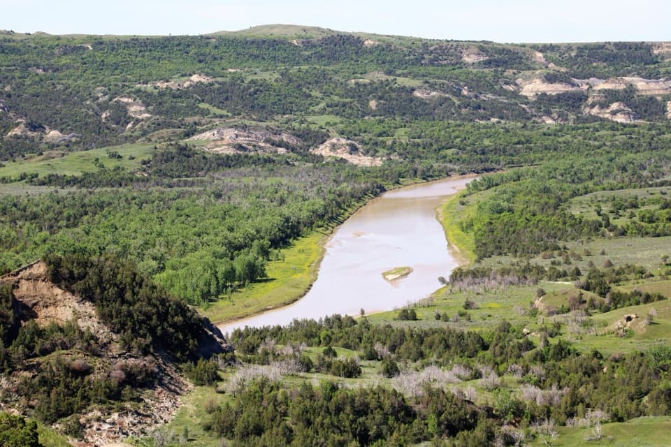
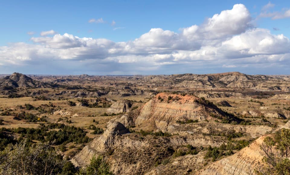
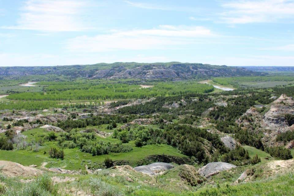
Beef Corral Bottom is a roadside viewing stop in the South Unit, looking over a prairie-dog town toward the Little Missouri River and sandstone buttes. Pull over if you want a quick wildlife break without adding a hike; the animals are across the bottom, so this is a watch-from-the-sidewalk stop rather than a close encounter.

Look across the bottomRoadside parking leads to a short concrete sidewalk and an interpretive sign.

Roadside parking leads to a short concrete sidewalk and an interpretive sign. Scan the prairie-dog town, then take in the wider view: sandstone buttes with the Little Missouri cutting through the valley beyond. An animal-proof trash can is here, while restrooms are farther along the South Unit loop near Buck Hill and Halliday Well.

The corral behind the nameIn 1884, the Marquis de Morès built a holding corral here for cattle bound for his Medora…

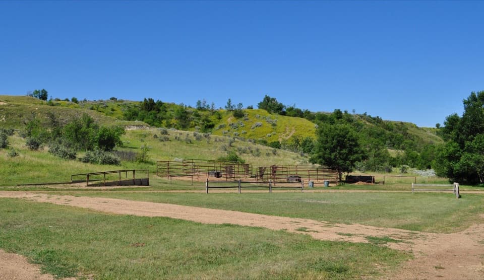
In 1884, the Marquis de Morès built a holding corral here for cattle bound for his Medora meatpacking plant. The circular pen was about 1,000 feet around, with a 130-foot wing to funnel cattle through the gate. The plant was part of his plan to ship dressed beef east in refrigerated railcars; the venture closed in 1886. That old cattle operation is the reason this prairie-dog stop has such an unexpected name.

Wildlife

Wildlife in Theodore Roosevelt

All Theodore Roosevelt wildlife maps

Sighting maps show where each species has been reported across Theodore Roosevelt. Wildlife moves, so no sighting is guaranteed.

Keep exploring

Near Beef Corral Bottom

See it all on the map

Trails nearby

More stops nearby

Parkwolf’s Theodore Roosevelt ranking

Top sights in Theodore Roosevelt

All 35 places
  1. 1River Bend OverlookSight
  2. 2Painted Canyon Overlook and Visitor CenterSight
  3. 3Maltese Cross CabinSight
  4. 4Oxbow OverlookSight
  5. 5Wind CanyonSight
  6. 6Elkhorn Ranch Cabin SiteSight

Take Parkwolf to Theodore Roosevelt.

The audio tour guide for the drive, plus offline maps, trails, and wildlife heatmaps for when the signal drops.

4.7 from 8,600+ ratings

Download Parkwolf on the App StoreGet Parkwolf on Google Play