Roundup Trail in Theodore Roosevelt National Park

Theodore Roosevelt National Park, ND

Roundup Trail

A rolling badlands crossing with a faint, tricky finish.

Length
3.3mi
Time
2.5hr
Elev. change
187ft
Difficulty
Moderate
  • No dogs
  • High point 2,503 ft

Hear the audio tour

A Prairie Dog Greeting

Overview

About Roundup Trail

Why go

  • A genuine crossing through rolling badlands hills, not another roadside loop.
  • Broad views open from the ridgeline.

Heads up

  • Point-to-point logistics are awkward, with no confirmed parking at the East River Road start.
  • The tread can become hard to distinguish from animal paths beyond the ridge.

Map & elevation

The route

Loading the Theodore Roosevelt map
Full map
Elevation2,316–2,503 ft
TrailheadEast River Road (Roundup Trail north start)47.00246, -103.48768
Keep this map with you offline in the Parkwolf app

Plan your hike

Before you go

Parking

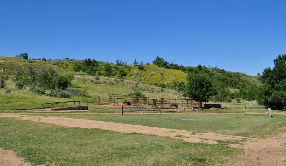
No public lot or legal roadside parking could be verified at the East River Road start. NPS lists Lower Jones Creek among its South Unit parking locations, but confirm the connection and arrange a legal shuttle or pickup for this point-to-point route. The nearby Roundup Group Horse Camp is gated and reservation-only; do not use it as day-hike parking.

Safety

The backcountry tread is minimally marked; beyond the ridge, markers may disappear where worn animal paths split off. Carry a topographic map and compass because cell service can be limited. The open route has little shade.

2 active Theodore Roosevelt alerts

  • ClosureRidgeline Nature Trail inaccessibleThe South Unit’s 0.6-mile Ridgeline Nature Trail is currently inaccessible because of a road collapse. Check current park conditions.Official details
  • InfoPetrified Forest trailhead: use approved routeUse the approved legal route from I-94, Exit 10 toward Camels Hump Lake, and follow the clearly marked posts to the Petrified Forest trailhead.Official details
Theodore Roosevelt alerts
A park ranger sits on a dash-mounted phone, talking, as Parkwolf’s Tour Guide plays “Army Cutworm Moths: A Grizzly Bear Buffet” on Grand Loop Road below Dunraven Pass in Yellowstone
Parkwolf Tour GuideThe highest, rockiest slopes around here are a summer buffet for grizzly bears.

Theodore Roosevelt Tour Guide

Your drive to Roundup Trail, narrated.

Parkwolf is a GPS audio tour guide for Theodore Roosevelt National Park. As you drive, it chimes in with what’s ahead: hidden gems, upcoming stops, history, geology, and wildlife, right through your car’s speakers.

See the Theodore Roosevelt audio tour

Recorded for this area

A Prairie Dog Greeting
0:00 / 0:31
“If you spot two prairie dogs meeting nose to nose, watch their greeting. Black-tailed prairie dogs recognize members of their group with what looks like a kiss or a sniff.”

Plays on the road 0.5 mi from the trailhead in the Parkwolf Theodore Roosevelt Tour Guide.

More stories near here in the app

  • Wind Canyon: A Short Climb Above the River
  • Bringing Bison Back
  • Beef Corral Bottom: Prairie Dogs and Cattle History
  • Why Bison Roll in the Dirt
  • 45 audio storiesacross Theodore Roosevelt’s roads, triggered by GPS as you drive
  • Wildlife heatmapsfor Bison, Wild Horse, Wapiti, and 13 more
  • Works offlinemaps, 38 trails, 35 places, and audio download before you lose signal
  • CarPlay readysimple controls built for the drive
★★★★★
“Fantastic app with many points of information… It’s great to just turn on while you’re driving and it gives you an audio tour of the national Park. We love it!!!!”
JMJamesApp Store review
Download Parkwolf on the App StoreGet Parkwolf on Google Play

4.7 from 8,600+ ratings

Trail guide

Hiking Roundup Trail

What you are taking onRoundup Trail is a 3.

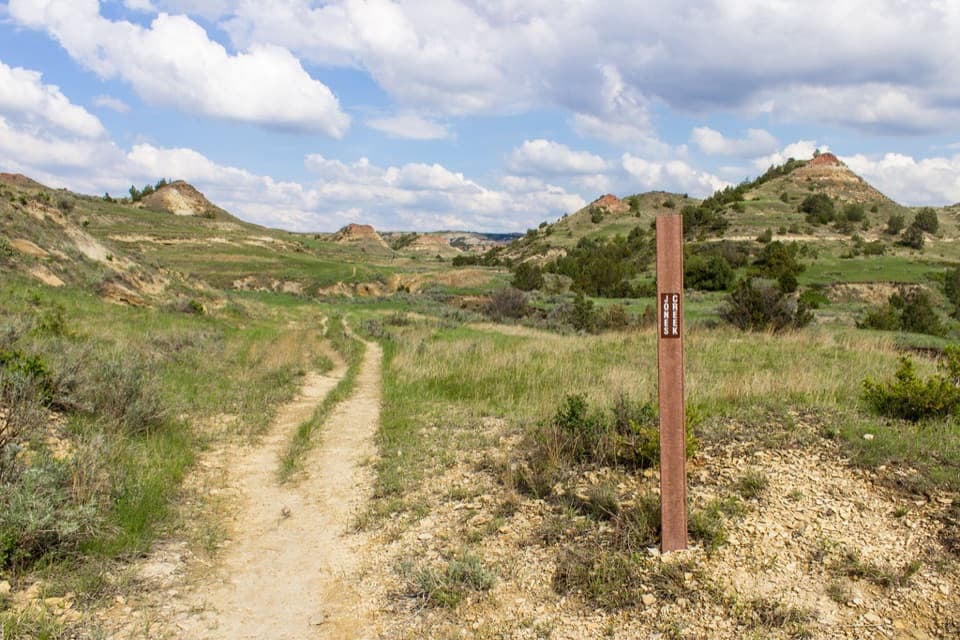
Roundup Trail is a 3.3-mile, one-way point-to-point hike in the South Unit, running from East River Road to a junction with Jones Creek Trail and crossing the Scenic Loop Drive. The route climbs and dips over open grassland hills rather than following a flat wash. Allow about 2½ hours one way. It is a better fit for hikers comfortable with a through-route and backcountry wayfinding than for a quick roadside walk.

How the route unfoldsFrom the East River Road start, the trail heads southeast past an eroded slope, then rises and…

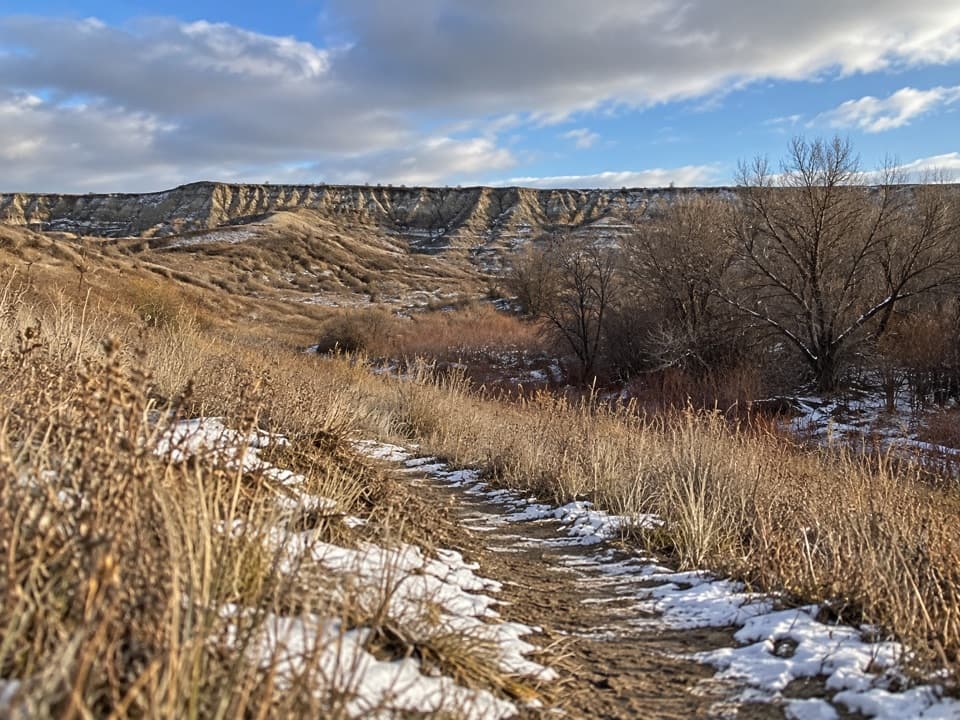
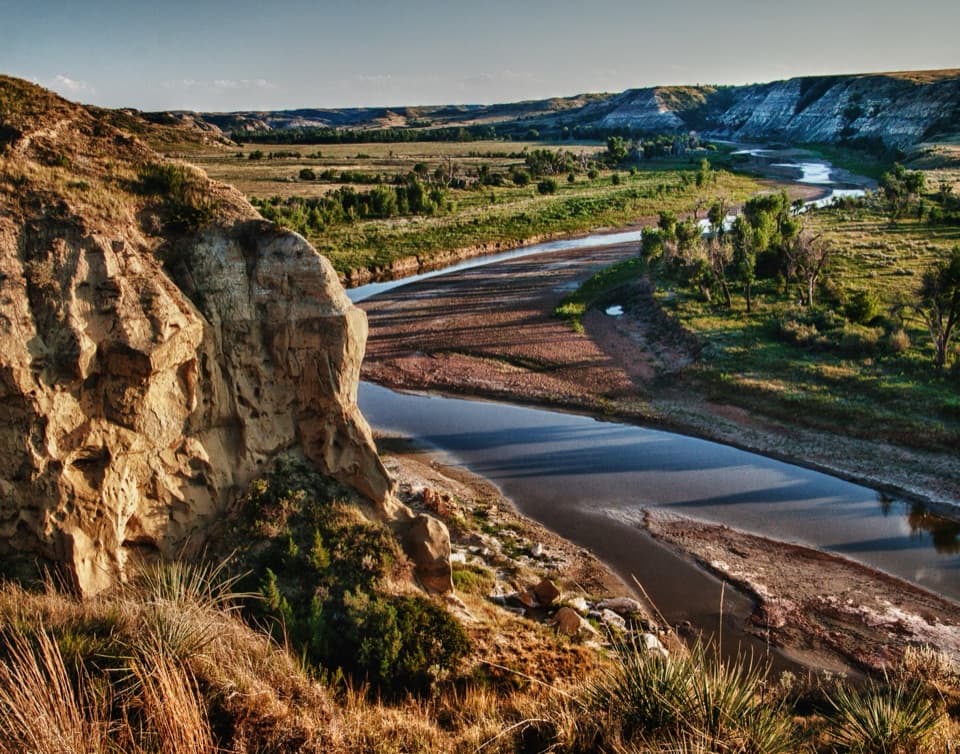
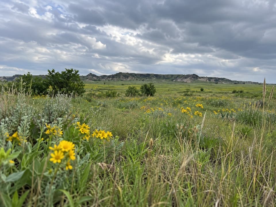
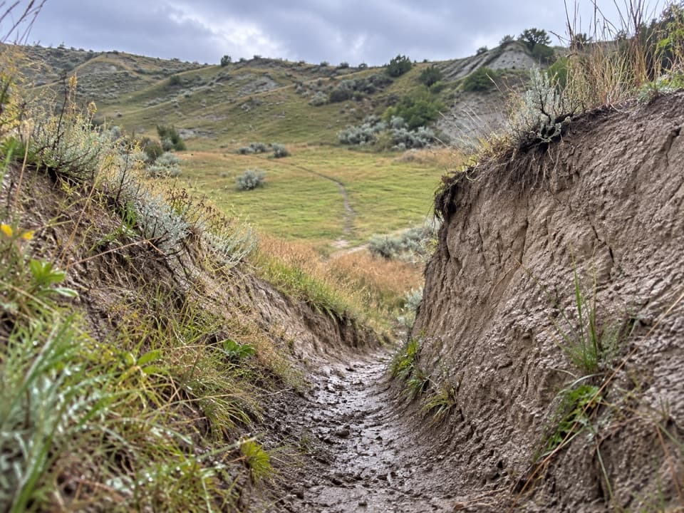
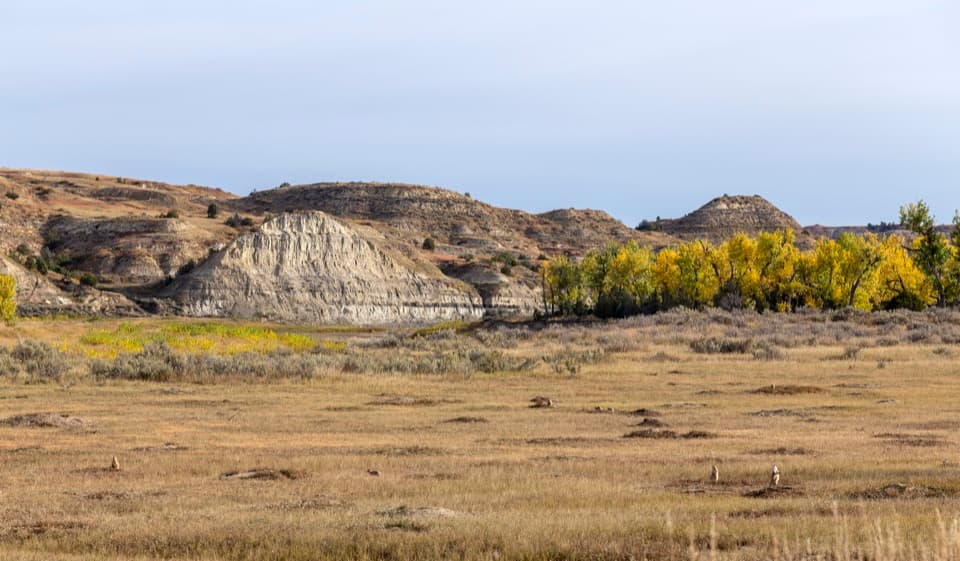
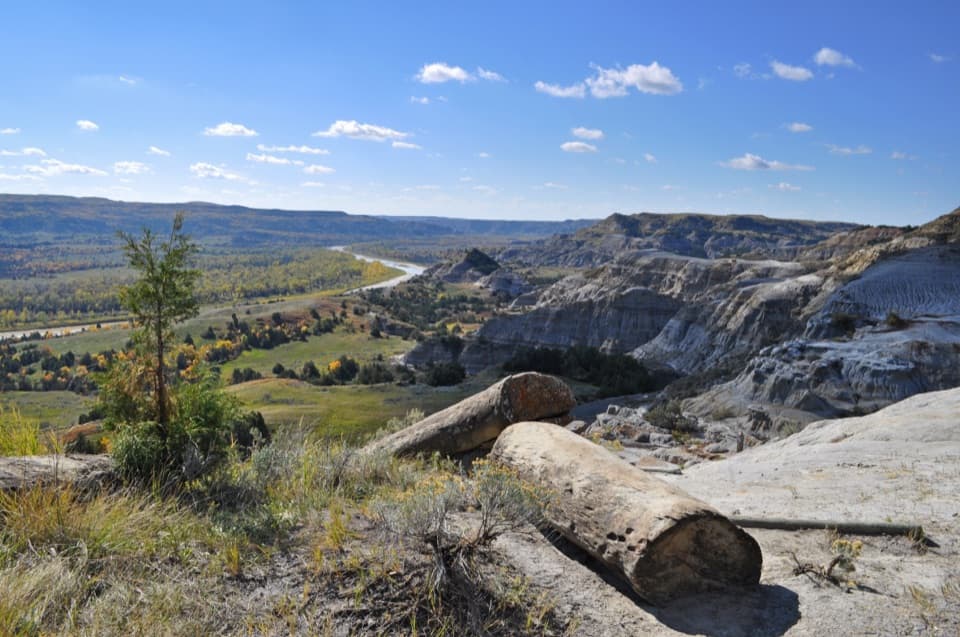
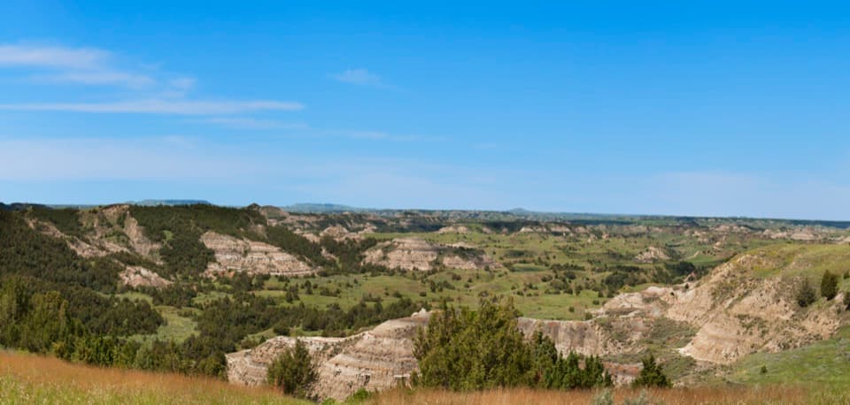
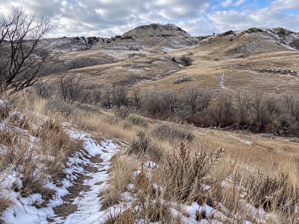
From the East River Road start, the trail heads southeast past an eroded slope, then rises and falls over a series of hills. It crosses the scenic road, drops into a valley, and climbs to a ridgeline with broad badlands views before continuing toward Jones Creek. Expect open grassland, scattered trees and long horizons, with little shade.

Find your lineThe route is minimally marked.

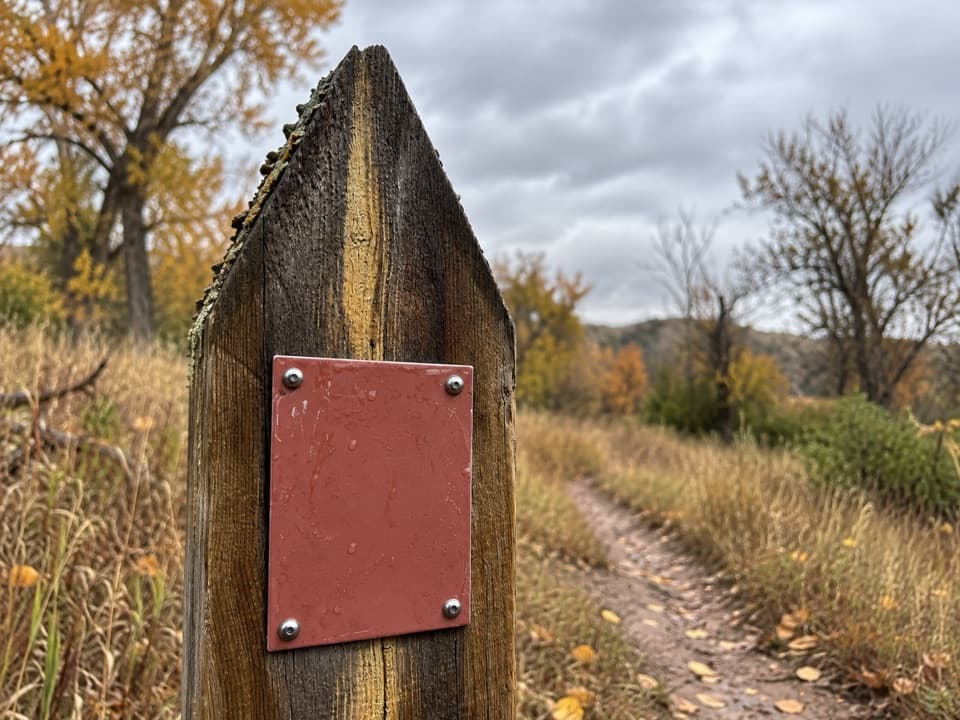
The route is minimally marked. Markers have reportedly disappeared beyond the ridge, where several worn paths can branch away from the designated tread. Use a topographic map and compass and check your position before descending; cell service can be limited. Do not assume the most visible animal track is the hiking route.

Arrange access firstThis is a point-to-point hike, not a loop; walking back adds another 3.3 miles.

This is a point-to-point hike, not a loop; walking back adds another 3.3 miles. No public lot or legal roadside parking could be verified at the East River Road start. NPS lists Lower Jones Creek among the South Unit parking locations, but confirm the exact connection and arrange a legal drop-off or pickup before choosing this route. The nearby Roundup Group Horse Camp is gated and reservation-only, not public trail parking. Dogs are not allowed on park trails. A backcountry permit is required for overnight camping, not for this day hike.

Wildlife

Wildlife in Theodore Roosevelt

All Theodore Roosevelt wildlife maps

Sighting maps show where each species has been reported across Theodore Roosevelt. Wildlife moves, so no sighting is guaranteed.

Keep exploring

Near Roundup Trail

See it all on the map

Trails that start nearby

Places near the trailhead

Parkwolf’s Theodore Roosevelt ranking

Top-rated trails in Theodore Roosevelt

All 38 trails
  1. 1Caprock Coulee TrailModerate · 4.3 mi
  2. 2Wind Canyon TrailModerate · 0.5 mi
  3. 3Petrified Forest LoopModerate · 10.3 mi
  4. 4Painted Canyon Nature TrailModerate · 0.9 mi
  5. 5Big Plateau and Ekblom Trail LoopModerate · 5.4 mi
  6. 6Boicourt Overlook TrailEasy · 0.8 mi

Take Parkwolf to Theodore Roosevelt.

The audio tour guide for the drive, plus offline maps, trails, and wildlife heatmaps for when the signal drops.

4.7 from 8,600+ ratings

Download Parkwolf on the App StoreGet Parkwolf on Google Play