Parking
Use the Painted Canyon Visitor Center lot off I-94 Exit 32. The trail starts by the kiosks and pavilion at the west end; restrooms are in the seasonal visitor center and picnic tables are nearby.
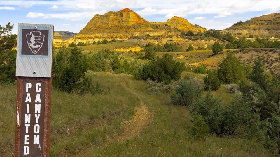
#4 of 38 trails in Theodore Roosevelt
Theodore Roosevelt National Park, ND
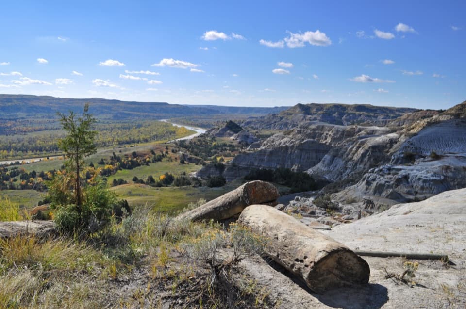
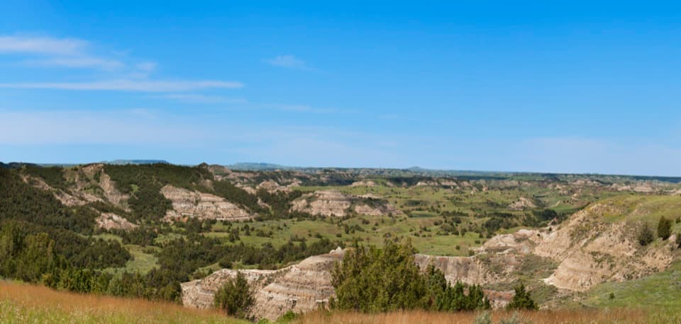
Step down for layered badlands, then climb back up to the rim.
Overview
Map & elevation
Plan your hike

The highest, rockiest slopes around here are a summer buffet for grizzly bears.
Theodore Roosevelt Tour Guide
Parkwolf is a GPS audio tour guide for Theodore Roosevelt National Park. As you drive, it chimes in with what’s ahead: hidden gems, upcoming stops, history, geology, and wildlife, right through your car’s speakers.
See the Theodore Roosevelt audio tourRecorded for this trailhead
Painted Canyon: The View from the Rim“You're coming up on Painted Canyon overlook, an easy stop for a broad view across the colored badlands. The paved sidewalk behind the visitor center gives you the panorama without hiking down into the canyon.”
Plays as you drive up to this trailhead in the Parkwolf Theodore Roosevelt Tour Guide.
More stories near here in the app
“Fantastic app with many points of information… It’s great to just turn on while you’re driving and it gives you an audio tour of the national Park. We love it!!!!”


Trail guide
Painted Canyon Nature Trail is a 0.9-mile loop from the west end of the Painted Canyon Visitor Center lot, down into the badlands and back to the rim. Plan on about 45 minutes; allow more time if you want to pause at the interpretive signs or take the halfway lookout spur. You get a closer walk among the layered canyon walls, junipers and wildlife instead of seeing the buttes only from above. If the rim view has you wondering what those colors look like up close, this is the walk to take. It is separate from the longer 4.2-mile Painted Canyon Trail east of the overlook.
Start by the kiosks and pavilion at the west end of the visitor center parking lot. The trail is steepest near the trailhead. Wooden bridges and steps help with the descent, but the short distance can fool you: you still have to climb back up to the rim. Every step down has to be regained on the way back to the rim. Several interpretive signs give you reasons to stop along the way, so 45 minutes is a moving-time estimate, not much of a visit if you hurry past everything.
A few recent hikers describe the steep sections as tougher than they expected from the mileage. Older reports mention mud and ruts after rain; those are not current conditions, but they are a reason to slow down if the dirt tread is wet.
About halfway around the loop, a short spur leads to a bench and a lookout over the canyon formations. This is the best place to pause and take in the color bands from inside the badlands. The rim overlook beside the parking lot gives you the broad panorama; the trail gives you a closer sense of the broken slopes and the junipers growing among them.
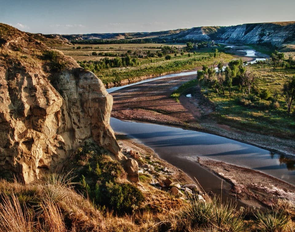
The bands began as sand, silt and mud carried east by rivers more than 65 million years ago, with volcanic ash settling into the same landscape. Over time those materials hardened into sandstone, siltstone, mudstone and bentonite clay. Later, the Little Missouri River cut into the softer layers and carved the broken badlands. Some lignite coal seams burned, baking the sediment above them into hard red clinker, also called scoria. Those caps wear down more slowly than the softer rock around them, leaving red-topped buttes above gray and brown slopes. On this short walk, look for the contrasting layers rather than expecting one single dramatic landmark at the end.
Take I-94 Exit 32 and park at the Painted Canyon Visitor Center. The center is seasonal, open May through October, with restrooms; picnic tables are nearby. The trailhead is by the kiosks and pavilion at the west end of the lot. Dogs are not allowed on trails anywhere in the park, even though leashed pets may use roads, sidewalks, parking areas and picnic areas. Leave the dog at the car or choose a permitted paved walk instead.
Wildlife
 1,082 sightingsBisonMost seen around 6 PMSighting map
 346 sightingsWild HorseMost seen around 7 PMSighting map
 27 sightingsWapitiMost seen around 7 AMSighting map
 46 sightingsBighorn SheepMost seen around 7 AMSighting map
 87 sightingsPronghornMost seen around 6 PMSighting map
 162 sightingsMule DeerMost seen around 8 PMSighting map
Sighting maps show where each species has been reported across Theodore Roosevelt. Wildlife moves, so no sighting is guaranteed.
Keep exploring
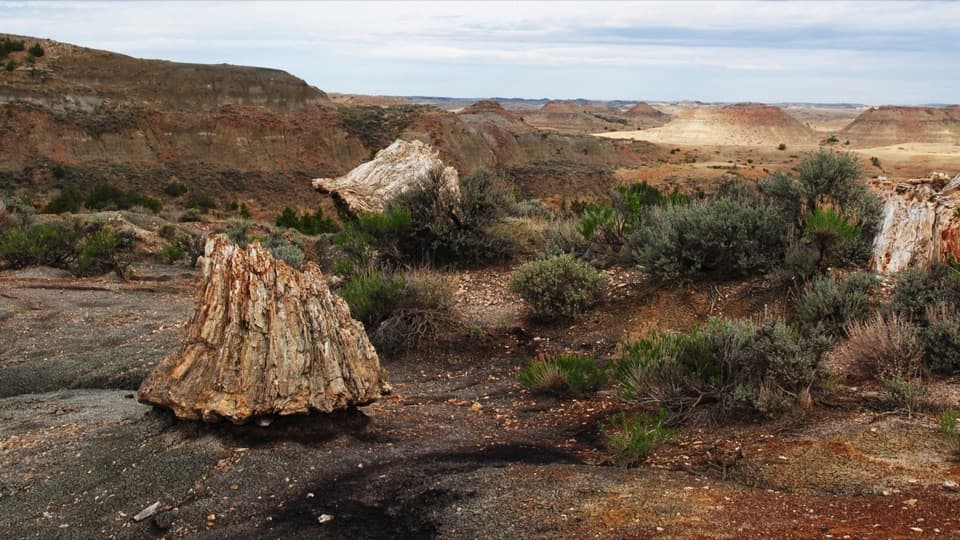
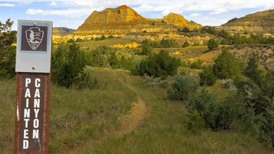 ModeratePainted Canyon Trail4.3 mi · 1.8 hr · 0.1 mi awayDrop from the rim to petrified wood and red clinker.
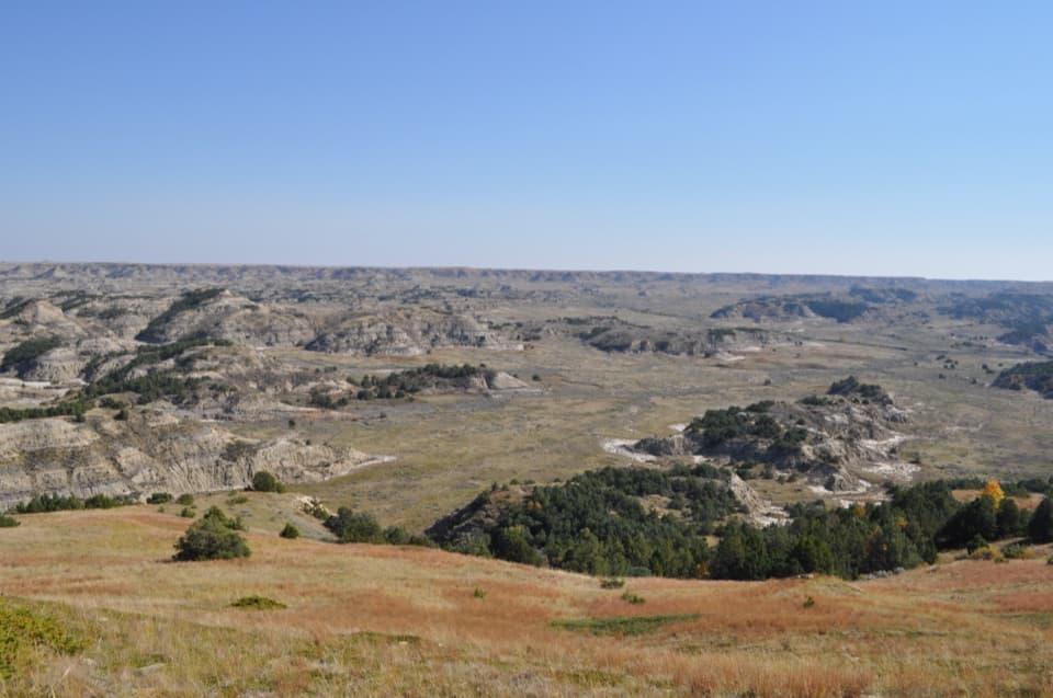 ModerateBuck Hill Trail0.4 mi · 20 min · 2.2 mi awayA short, steep climb opens the South Unit’s broad Badlands view.
 EasyCoal Vein Trail0.8 mi · 39 min · 2.2 mi awayA short badlands loop through the remains of an underground coal fire.
 EasyOld East Entrance Station Trail1 mi · 24 min · 2.5 mi awayA short prairie walk to the South Unit’s old stone gateway.
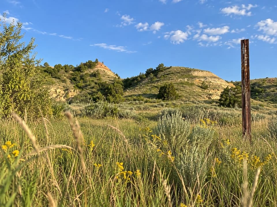 ModerateUpper Talkington Trail7.6 mi · 3.5 hr · 3 mi awayA long, exposed walk through a prairie dog town
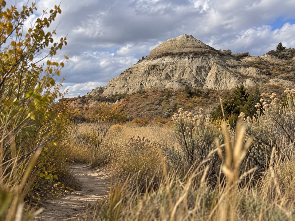 ModerateLower Talkington Trail4.1 mi · 2.5 hr · 3.1 mi awayA dirt traverse into pale badlands above the Jones Creek junction.
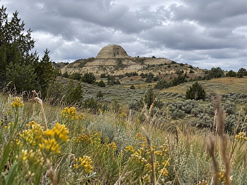 ModerateUpper Paddock Creek Trail7.7 mi · 4.5 hr · 3.4 mi awayCreek-side badlands give way to open prairie at the rim.
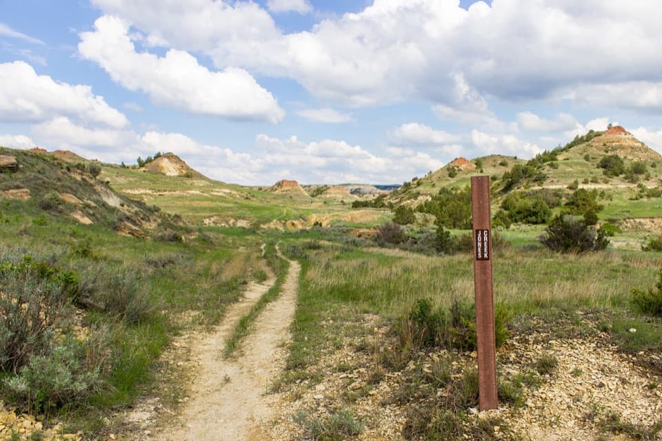 ModerateJones/Lower Talkington/Lower Paddock Loop11.4 mi · 7 hr · 3.5 mi awayThree creek-country trails make an 11.4-mile Badlands loop.
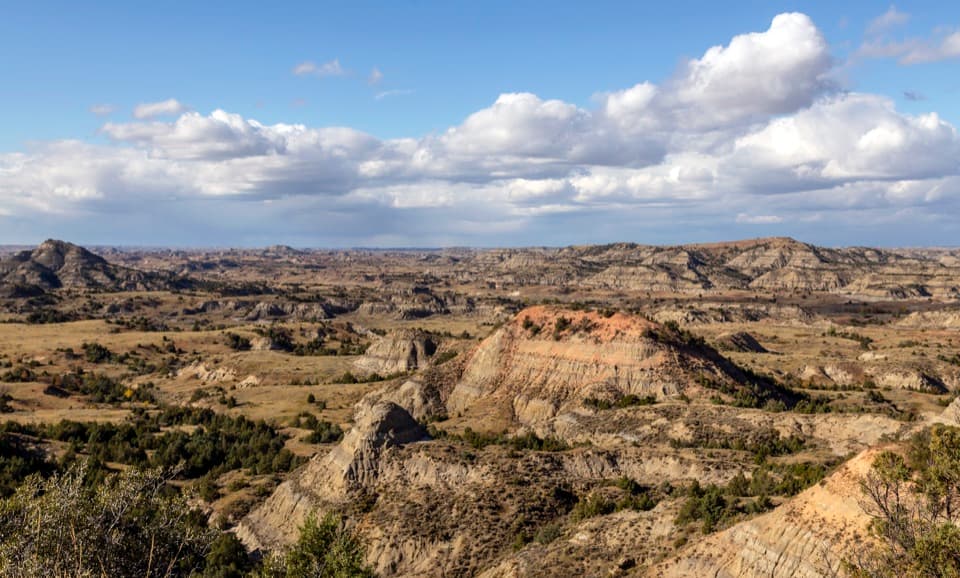 Sight · 0.1 mi awayPainted Canyon Overlook and Visitor CenterA rim-top badlands panorama, with bison sometimes grazing nearby.
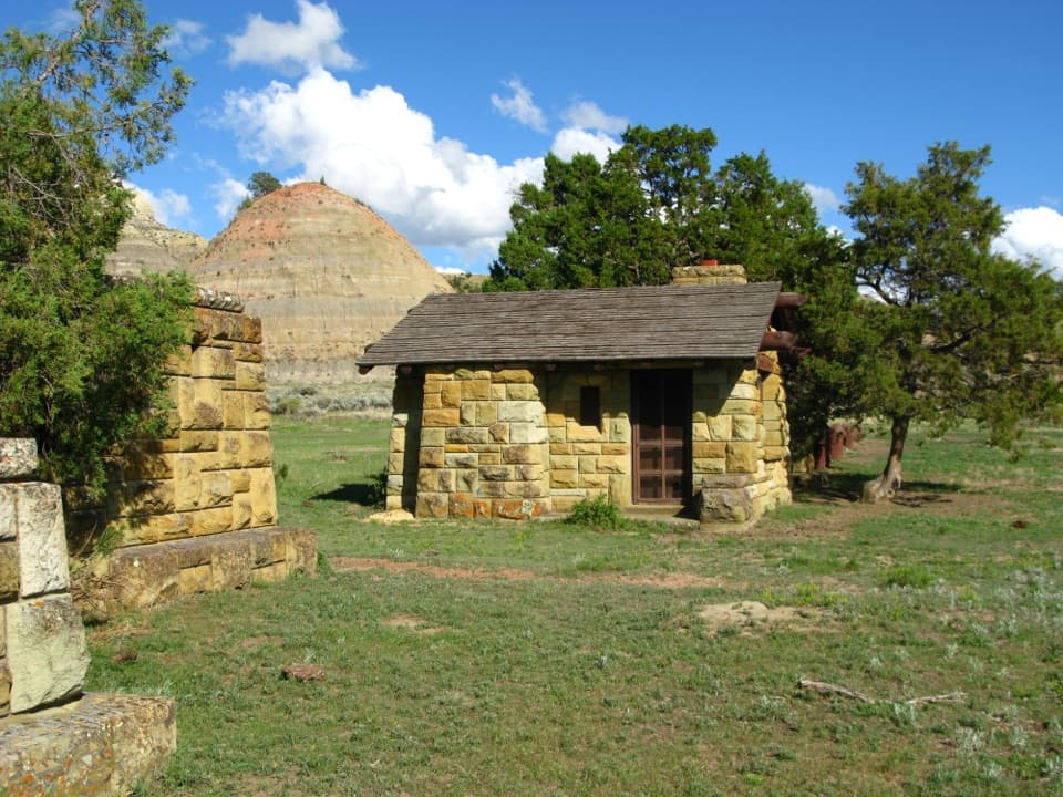 Sight · 2.1 mi awayOld East Entrance StationThe park's original stone gateway sits in an active prairie dog town.Sight · 2.2 mi awayBuck HillA steep 15-minute climb opens to a full Badlands panorama.
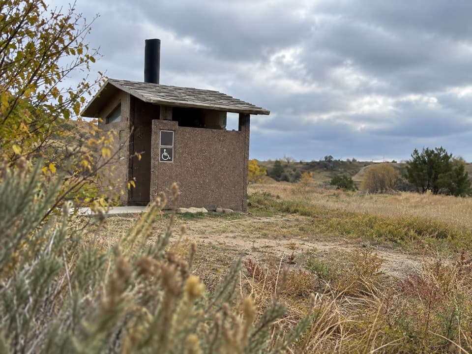 Restroom · 2.9 mi awaySouth Unit Scenic Drive RestroomAn accessible restroom midway around the South Unit loop.
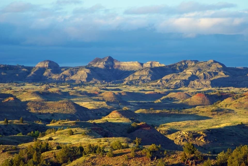 Sight · 3.8 mi awayBadlands OverlookLayered buttes make this the South Unit's panoramic finale.
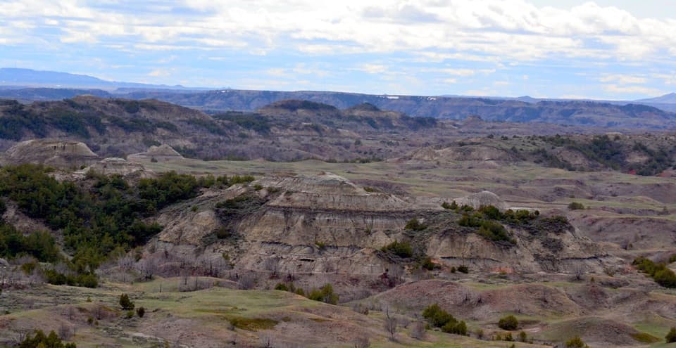 Sight · 4.8 mi awayBoicourt OverlookA short paved walk opens onto rolling badlands and distant buttes.
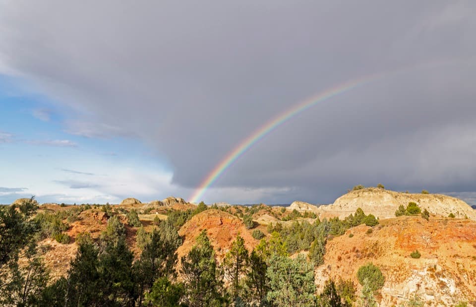 Sight · 5.5 mi awayScoria Point OverlookAn easy first look at the South Unit's red badlands.
 Scenic pullout · 6.7 mi awayJohnson's Plateau Roadside PulloffAn easy scenic-drive stop for watching prairie dogs at work.
Parkwolf’s Theodore Roosevelt ranking

The audio tour guide for the drive, plus offline maps, trails, and wildlife heatmaps for when the signal drops.