Parking
Use the Boicourt Overlook pullout along the South Unit Scenic Loop Drive; the paved path starts beside the parking area. The lot accommodates cars and RVs and has accessible parking.
#6 of 38 trails in Theodore Roosevelt
Theodore Roosevelt National Park, ND
A paved start, then a narrow ridge with a panoramic payoff.
Overview
Map & elevation
Plan your hike

The highest, rockiest slopes around here are a summer buffet for grizzly bears.
Theodore Roosevelt Tour Guide
Parkwolf is a GPS audio tour guide for Theodore Roosevelt National Park. As you drive, it chimes in with what’s ahead: hidden gems, upcoming stops, history, geology, and wildlife, right through your car’s speakers.
See the Theodore Roosevelt audio tourRecorded for this trailhead
Boicourt Overlook: Pavement or Ridge“You're coming up on Boicourt Overlook, a quick stop for rolling badlands and distant buttes. The short paved path reaches the first view and is wheelchair accessible.”
Plays as you drive up to this trailhead in the Parkwolf Theodore Roosevelt Tour Guide.
More stories near here in the app
“Fantastic app with many points of information… It’s great to just turn on while you’re driving and it gives you an audio tour of the national Park. We love it!!!!”


Trail guide
Boicourt Overlook Trail is a short out-and-back above the South Unit badlands. Go about 0.8 miles round trip if you follow the unpaved continuation to the second overlook; allow 30–45 minutes with time to look around. The paved walk to the first overlook is the quick, accessible version, listed at 0.2 miles round trip. The longer distance includes the rougher ridge extension; it is the better figure if you plan to reach the far viewpoint. I’d take the extension if you want a short hike, and stop at the paved view if this is just a quick break in the drive.
From the roadside pullout, a roughly three-foot-wide paved path with a slight grade runs out to the first viewing area. This is an easy way to get a strong badlands view without committing to the ridge. The pavement is the accessible part of the walk; the dirt continuation is not.
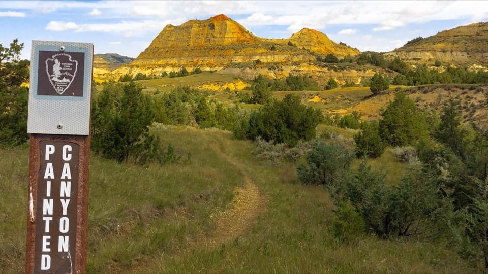
Past the end of the pavement, a narrow unpaved social trail follows the ridge to another overlook. The park describes this extension as about 0.2 miles but doesn't specify whether that means one way or round trip; the full mapped walk there and back is about 0.8 miles. The ridge is exposed to wind, and the footing gets narrow near the far end. Turn around at the pavement if uneven ground or exposed edges don't suit you.
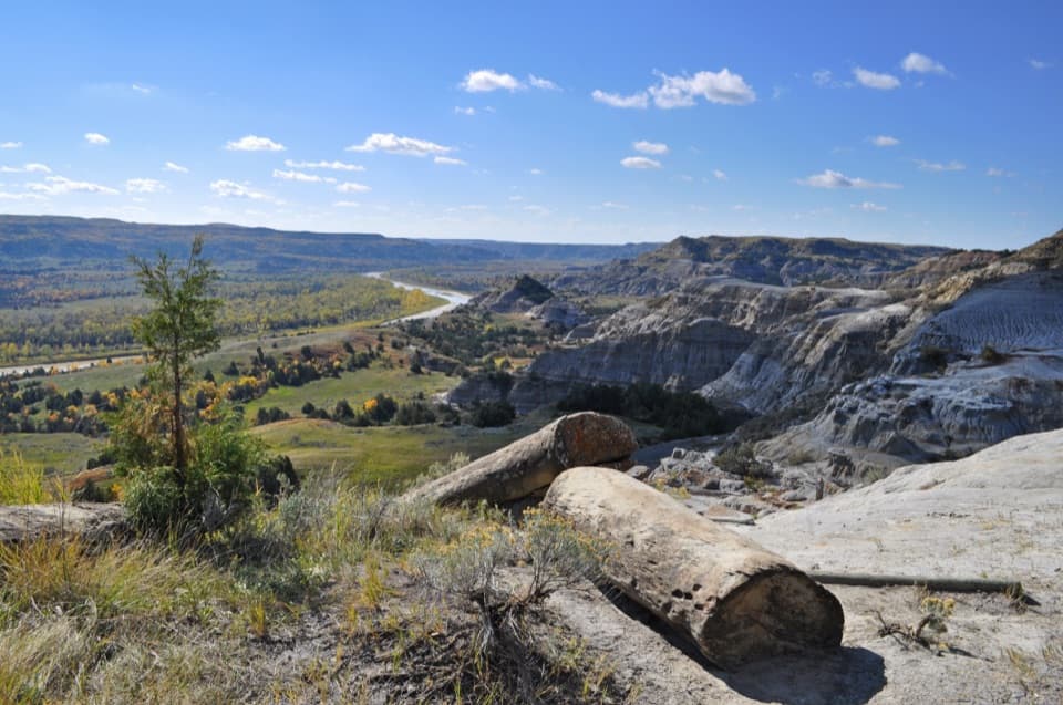
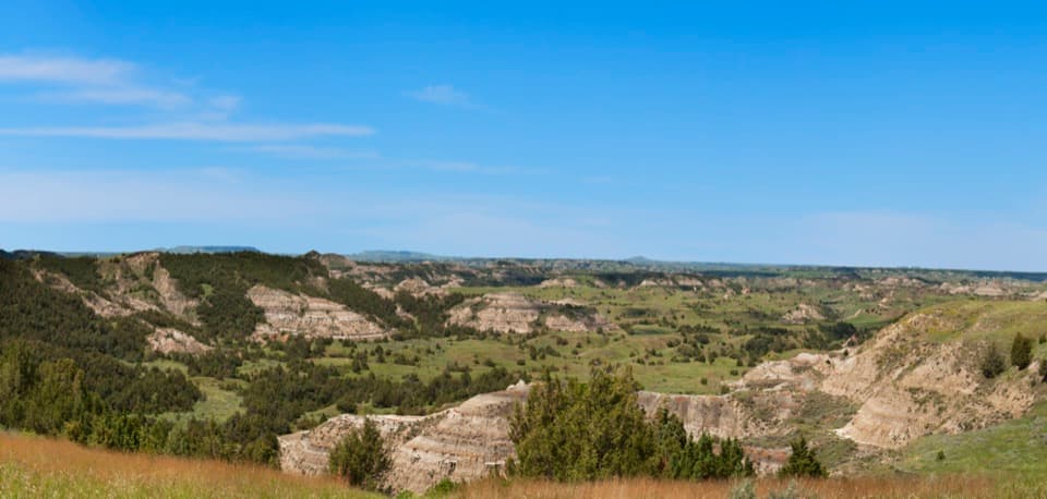
From the overlook, layered badland ridges open across green valleys and juniper-covered slopes. The park calls this one of its best badlands views, and late-day light brings out the colors; sunset is a particularly good time to linger. Bison or wild horses sometimes appear in the valley, but sightings are never assured.
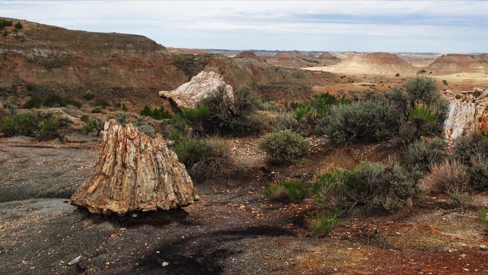
The colored bands began as sand, silt, mud, and volcanic ash carried into the region by ancient rivers and wind. Those sediments hardened into sandstone, siltstone, mudstone, and bentonite clay. Later, the Little Missouri River and its tributaries cut into the softer rock, exposing the broken ridges and gullies you see from the overlook. Fossils elsewhere in the park include freshwater clams and snails, turtles, crocodiles, alligators, and champsosaurs, evidence of an ancient river-fed swamp. You won’t see those fossils from this path, but the bands in the ridge are part of that same story.
The trail starts at the Boicourt Overlook pullout along the South Unit Scenic Loop Drive, about halfway through the drive. Cars and RVs can park there, and accessible parking is available. The trail is open year-round and doesn't require a reservation, though the park entrance fee may apply. Pets aren't allowed on the trail; leashed service animals are permitted.
Wildlife
 1,082 sightingsBisonMost seen around 6 PMSighting map
 346 sightingsWild HorseMost seen around 7 PMSighting map
 27 sightingsWapitiMost seen around 7 AMSighting map
 46 sightingsBighorn SheepMost seen around 7 AMSighting map
 87 sightingsPronghornMost seen around 6 PMSighting map
 162 sightingsMule DeerMost seen around 8 PMSighting map
Sighting maps show where each species has been reported across Theodore Roosevelt. Wildlife moves, so no sighting is guaranteed.
Keep exploring
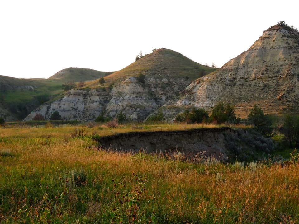 EasyBadlands Spur Trail1.7 mi · 54 min · 1.6 mi awayA short walk to the Lower Talkington junction and badlands views.
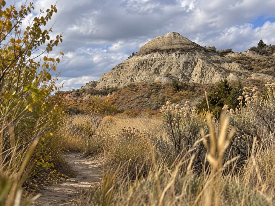 ModerateLower Talkington Trail4.1 mi · 2.5 hr · 1.7 mi awayA dirt traverse into pale badlands above the Jones Creek junction.
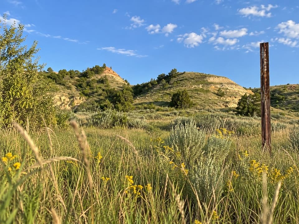 ModerateUpper Talkington Trail7.6 mi · 3.5 hr · 1.7 mi awayA long, exposed walk through a prairie dog town
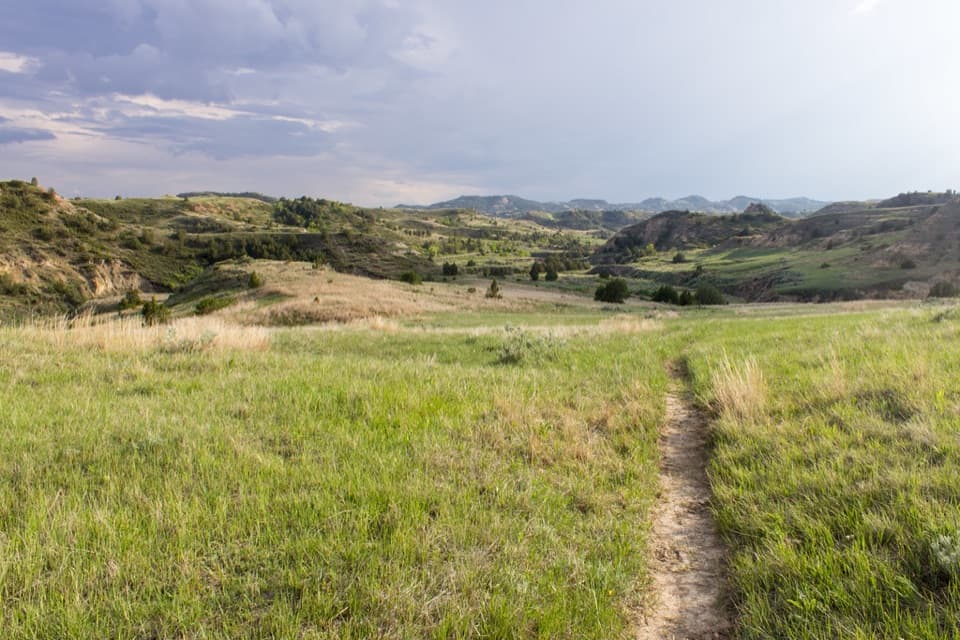 ChallengingUpper Paddock/Talkington Loop15.4 mi · 9 hr · 2.2 mi awayA 15.4-mile circuit over prairie, rim, and creek country.
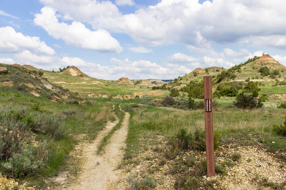 ModerateJones/Lower Talkington/Lower Paddock Loop11.4 mi · 7 hr · 2.2 mi awayThree creek-country trails make an 11.4-mile Badlands loop.
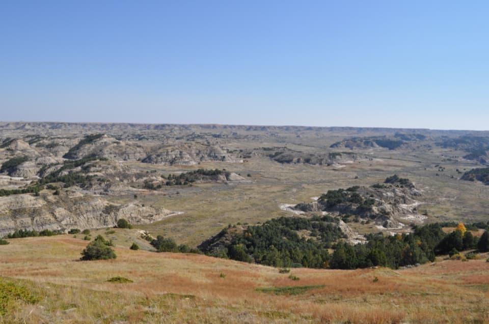 ModerateBuck Hill Trail0.4 mi · 20 min · 2.3 mi awayA short, steep climb opens the South Unit’s broad Badlands view.
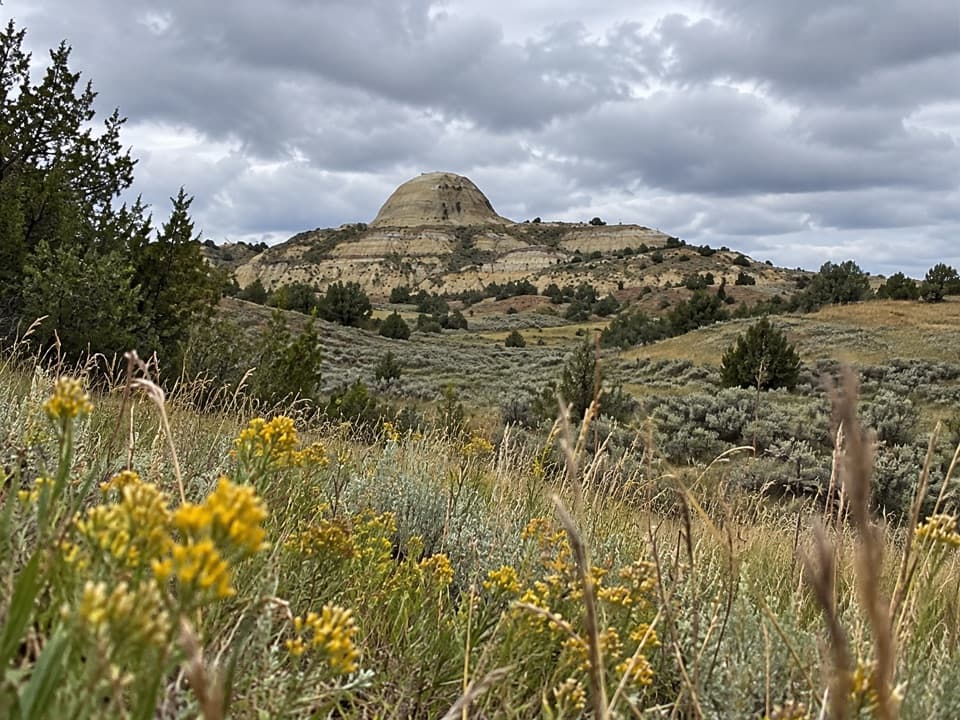 ModerateUpper Paddock Creek Trail7.7 mi · 4.5 hr · 2.4 mi awayCreek-side badlands give way to open prairie at the rim.
 EasyCoal Vein Trail0.8 mi · 39 min · 2.4 mi awayA short badlands loop through the remains of an underground coal fire.
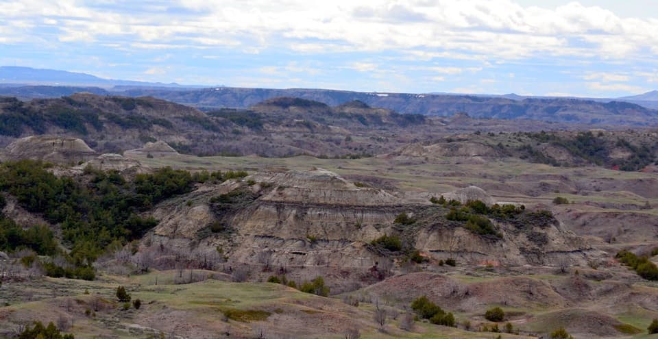 Sight · 0.3 mi awayBoicourt OverlookA short paved walk opens onto rolling badlands and distant buttes.
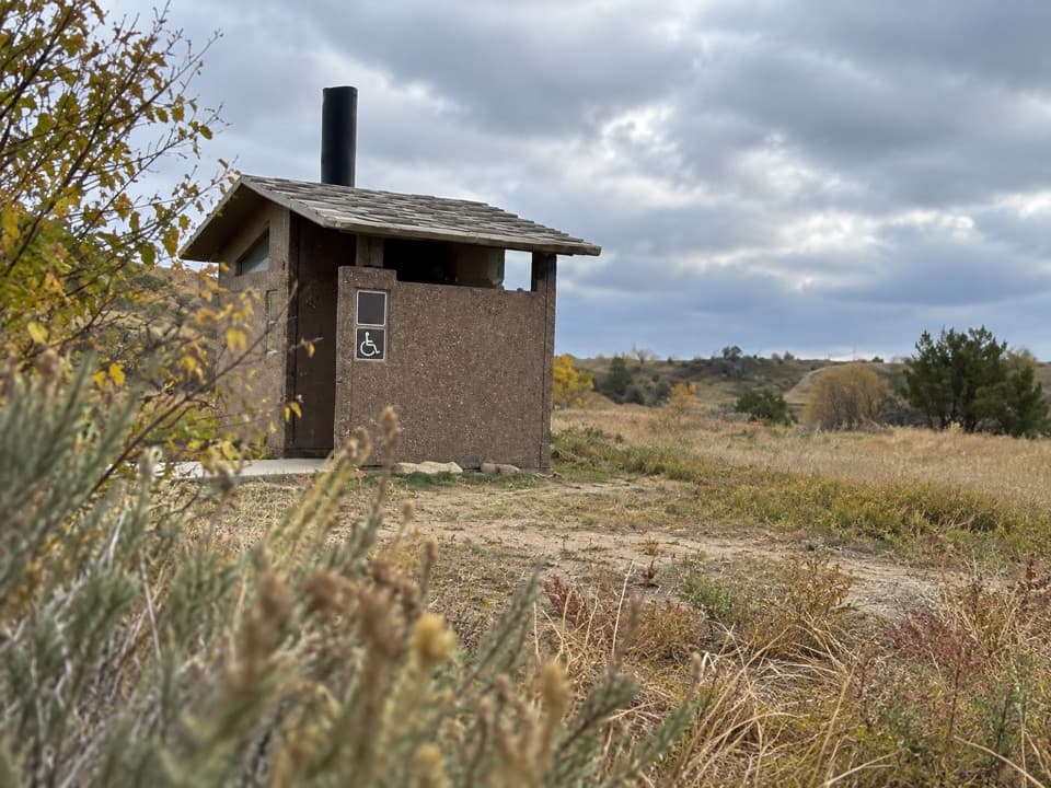 Restroom · 1.7 mi awaySouth Unit Scenic Drive RestroomAn accessible restroom midway around the South Unit loop.Sight · 2.3 mi awayBuck HillA steep 15-minute climb opens to a full Badlands panorama.
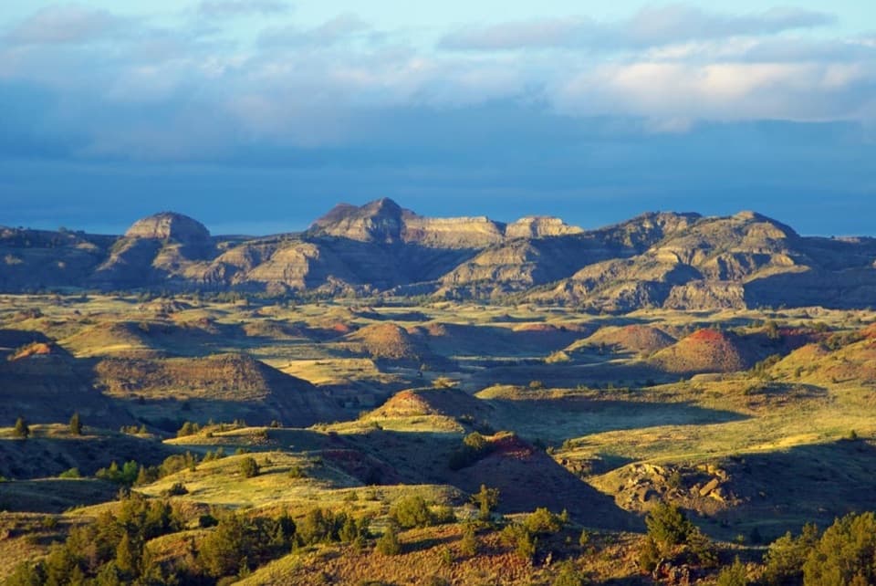 Sight · 3.5 mi awayBadlands OverlookLayered buttes make this the South Unit's panoramic finale.
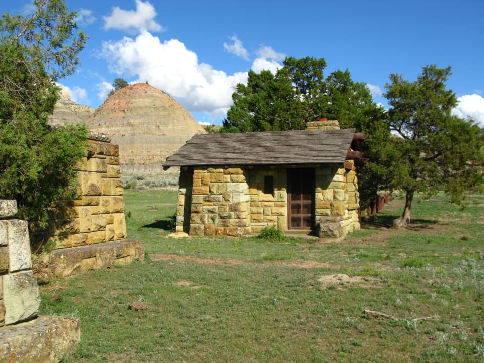 Sight · 3.6 mi awayOld East Entrance StationThe park's original stone gateway sits in an active prairie dog town.
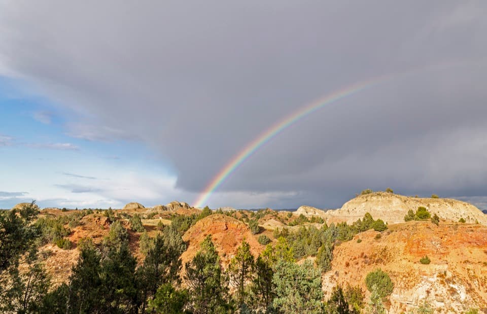 Sight · 4.4 mi awayScoria Point OverlookAn easy first look at the South Unit's red badlands.
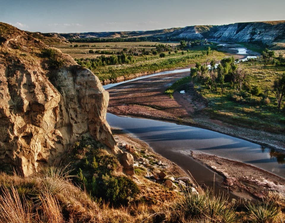 Sight · 4.4 mi awayWind CanyonAn open river-and-badlands view comes after a very short climb.
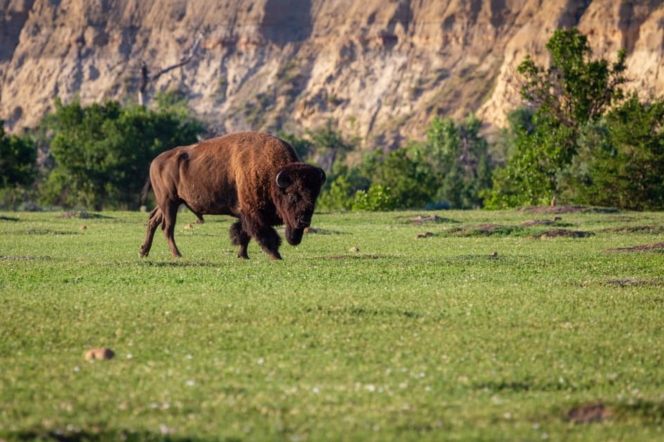 Sight · 4.5 mi awayBeef Corral BottomA prairie-dog town and river valley in one quick South Unit stop.
Parkwolf’s Theodore Roosevelt ranking

The audio tour guide for the drive, plus offline maps, trails, and wildlife heatmaps for when the signal drops.