Parking
No road parking at Campamento Italiano; reach the backcountry start on foot along the W Trek from Paine Grande or Los Cuernos. The 10.8 km round trip begins at Italiano; Paine Grande adds a 7.5 km walk each way.

#4 of 35 trails in Torres del Paine
Torres del Paine National Park, MA
A steep climb into a granite amphitheater above the glacier.
Overview
Map & elevation
Plan your hike

The highest, rockiest slopes around here are a summer buffet for grizzly bears.
Torres del Paine Tour Guide
Parkwolf is a GPS audio tour guide for Torres del Paine National Park. As you drive, it chimes in with what’s ahead: hidden gems, upcoming stops, history, geology, and wildlife, right through your car’s speakers.
See the Torres del Paine audio tourRecorded for this trailhead
Pudeto: Across Pehoé to Paine Grande“You're coming up on Pudeto, the dock for the catamaran across Lago Pehoé. The roughly half-hour crossing reaches Paine Grande, a roadless refuge and hiking base, with mountain views along the way.”
Plays as you drive up to this trailhead in the Parkwolf Torres del Paine Tour Guide.
More stories near here in the app
“Fantastic app with many points of information… It’s great to just turn on while you’re driving and it gives you an audio tour of the national Park. We love it!!!!”


Trail guide
Mirador Británico is a demanding out-and-back from Campamento Italiano into the upper French Valley. The lookout is 5.4 km from camp by the park’s named trail segment, so the complete return walk is 10.8 km (6.7 miles) on the same path. Allow about six hours on the trail, before the walk in or out to Italiano. The reward is a high, open view into the granite amphitheater, with French Glacier and the Cuernos along the way. This is a serious W Trek side trip, not a drive-up day walk.
Campamento Italiano is a backcountry camp and ranger post on the W route, with no road parking. Reach it on foot from Paine Grande or Los Cuernos; the park lists Paine Grande–Italiano at 7.5 km and about 2.5 hours each way. If you leave from Paine Grande and return there, that approach turns the British lookout hike into roughly 25.8 km (16 miles) of walking for the day. Hikers coming through Pudeto also need to fit the Pehoé ferry around the long approach. Treat the six hours above as the Italiano–Británico round trip only.
From Italiano the path climbs over rough rock and boulders, first through lenga forest. After about half a kilometre it opens onto a bare rocky slope with a close view toward the French Glacier, then returns to forest and crosses more exposed, uneven ground. The tread can be hard to pick out on the open rock, and the climb remains sustained; the steepest section is near Mirador Francés. Terrain samples put Italiano near 160 m and the lookout near 745 m, a net rise of about 585 m. This is a demanding walk with little easy ground to make up time on the way back.
The lower viewpoint gives you a close look at the French Glacier descending from the Paine Grande massif, with the river valley below it. It is a worthwhile place to pause, but it is not the end of this trail: Británico is farther uphill beyond the forested stretch. If the weather turns or the climb has taken enough out of you, turning around at Francés keeps the same return trail and still gives you the glacier view.
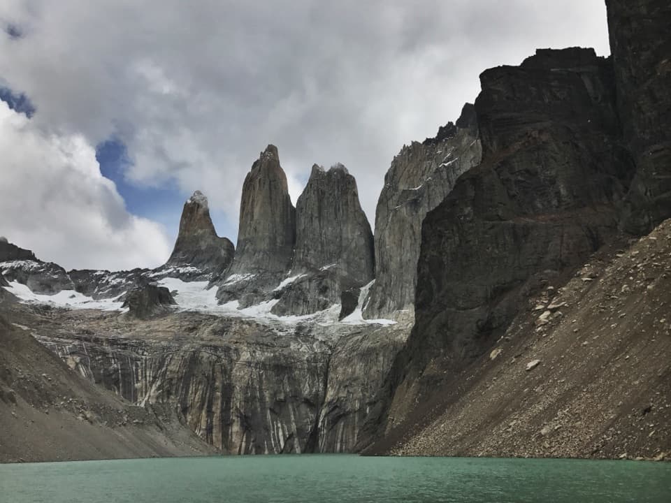
At Mirador Británico the trees fall away and the surrounding peaks close in around the upper valley. The panorama takes in the Cuernos, the sharp formations known as Shark’s Fin and Fortress, and other granite walls; the all-around mountain view is the payoff. Cloud can hide much of it, so check the sky before committing to the last climb. When it is clear, use a wide frame and keep some of the rough valley foreground below the towers to show the scale of the basin.
The Paine massif stands apart from the Andes and mixes granite bases with sedimentary upper rock. Its forms were shaped by advancing and retreating glaciers over more than twelve million years. The route makes that history visible in stages: first the French Glacier and its rocky meltwater corridor, then the wider bowl of peaks at Británico.
Wildlife
 113 sightingsPumaMost seen around 7 PMSighting map
 146 sightingsAndean CondorMost seen around noonSighting map
 381 sightingsGuanacoMost seen around 7 AMSighting map
 53 sightingsHuemulMost seen around 7 AMSighting map
 36 sightingsLesser RheaMost seen around 6 PMSighting map
 11 sightingsWild HorseMost seen around 7 AMSighting map
Sighting maps show where each species has been reported across Torres del Paine. Wildlife moves, so no sighting is guaranteed.
Keep exploring
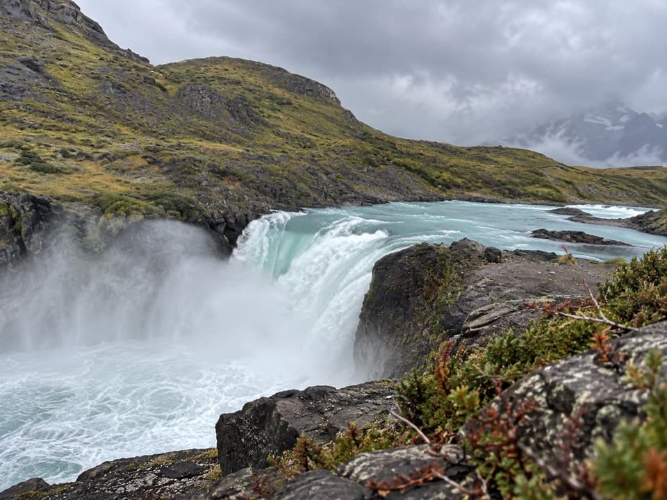 EasySalto Grande Waterfall Trail1.4 km · 30 min · 5.2 km awayA short, easy walk ends beside a roaring turquoise waterfall.
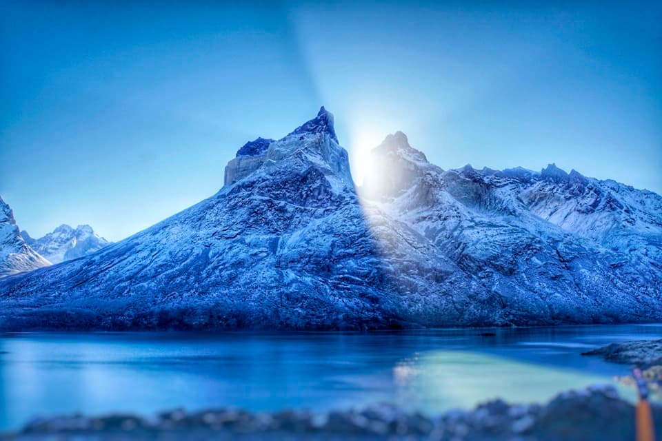 ModerateSalto Grande to Mirador Cuernos Trail6.2 km · 2.5 hr · 5.2 km awayA waterfall, black-sand shore, and the Cuernos across the lake.
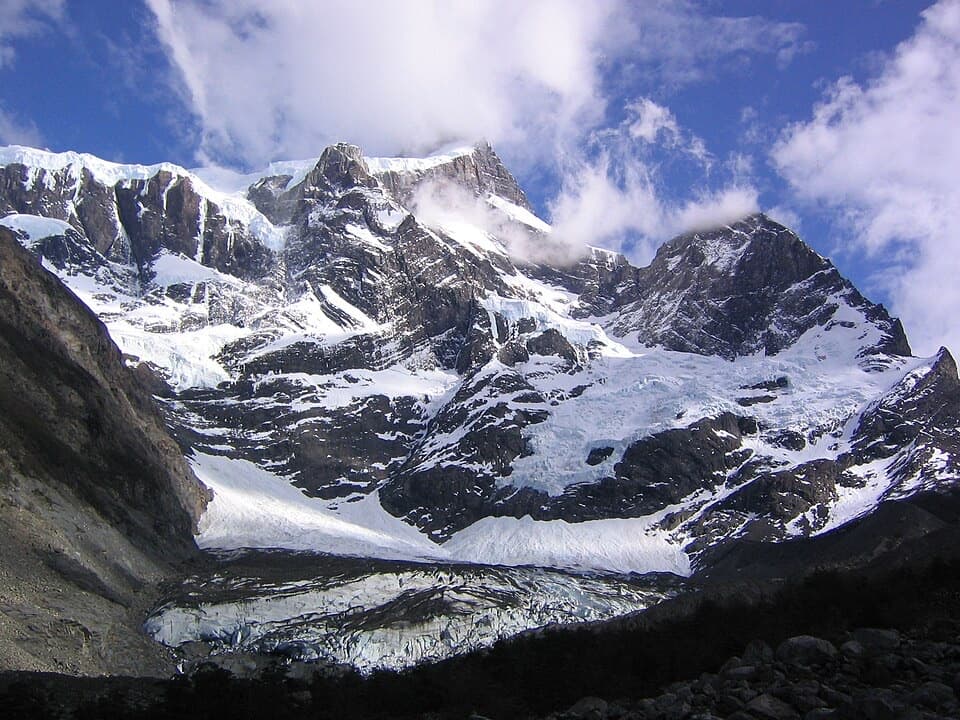 ChallengingValle del Francés20 km · 8.5 hr · 6.1 km awayLago Skottsberg gives way to a steep climb beneath the French Glacier.
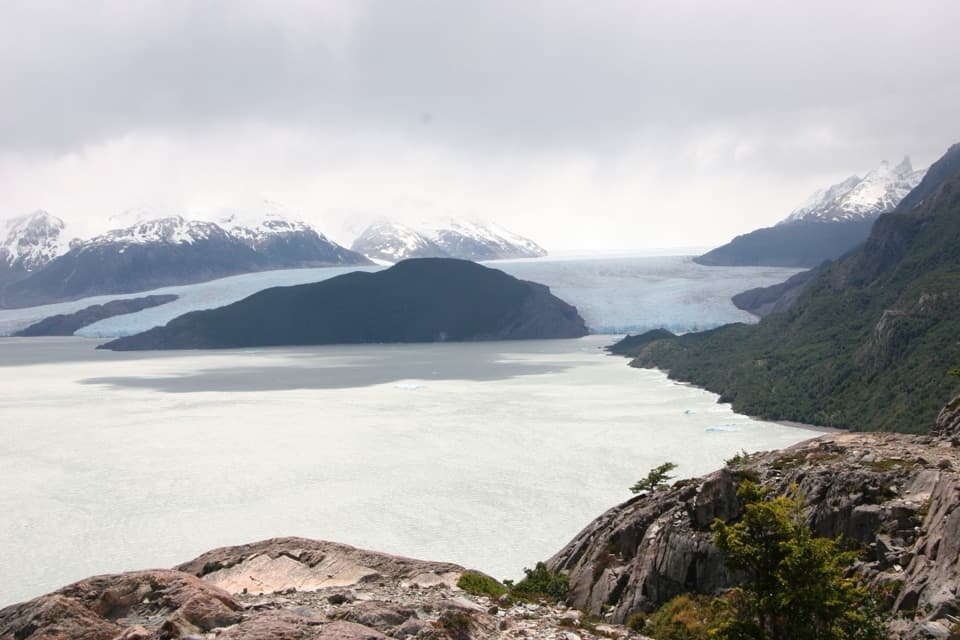 ModeratePaine Grande to Refugio Grey Trail11 km · 3.8 hr · 6.3 km awayAn 11-kilometer W-route crossing with Grey Glacier in view.
 EasyMirador Lago Skottsberg5 km · 1.5 hr · 6.3 km awayA short lake walk ends with the granite towers of Los Cuernos.
 ModeratePaine Grande to Administration Trail17.9 km · 5 hr · 6.3 km awayA long one-way mountain walk from Paine Grande to park Administration.
 ModerateMirador Grey Trail from Paine Grande11.9 km · 4.5 hr · 6.3 km awayA rocky climb earns a distant Grey Glacier view
 EasyLago Sarmiento – Sendero de los Trombolitos4.9 km · 2.5 hr · 8.5 km awayWhite thrombolites make this quiet Sarmiento shore unusual.
 Sight · 0.9 km awayMirador FrancésThe glacier view earns the climb, even if you turn around here.
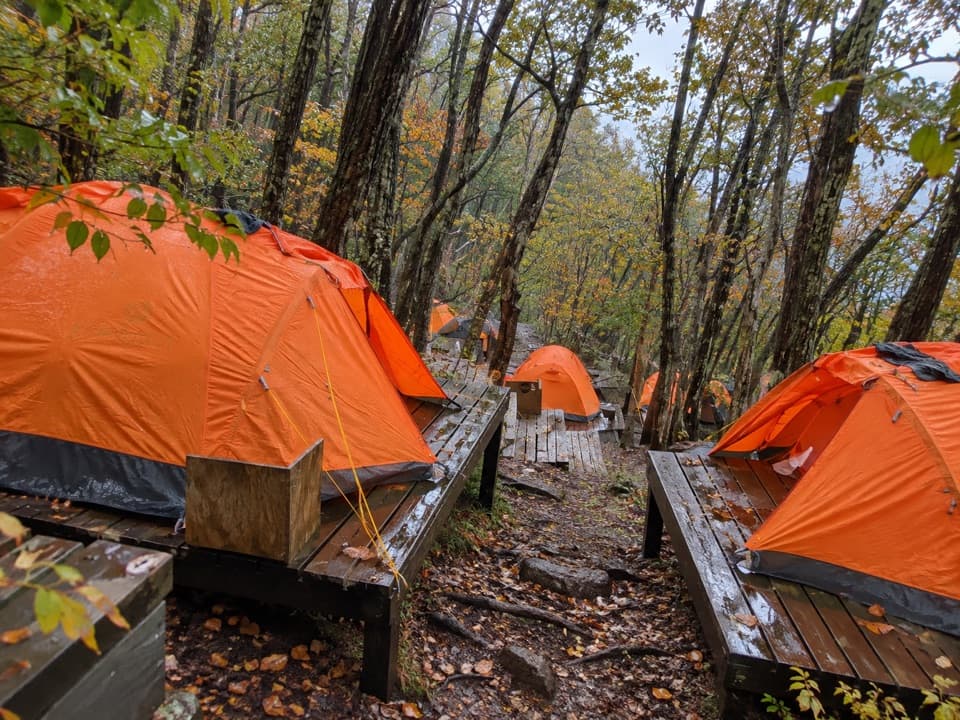 Campground · 0.9 km awayFrancés CampFoehn winds can spin little whirlwinds over Lake Nordenskjöld.
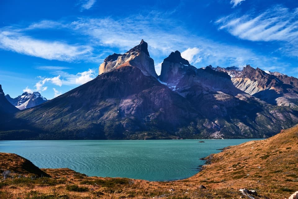 Sight · 3.1 km awayMirador CuernosA two-hour lakeside walk ending face-to-face with the Cuernos.
 Sight · 3.8 km awaySköttsberg Lake ViewpointA lakeside pause on the Paine Grande–Italiano hiking route.
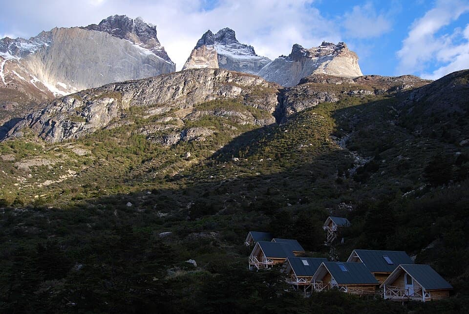 Campground · 3.9 km awayRefugio y Camping Los CuernosA tent or cabin stop beneath the Cuernos, beside Lake Nordenskjöld.
 Sight · 5 km awayMirador BritánicoA long, demanding climb to the French Valley’s big panorama.
 Sight · 5.1 km awaySalto Grande WaterfallTake the easy walk to see where two Patagonian lakes meet.
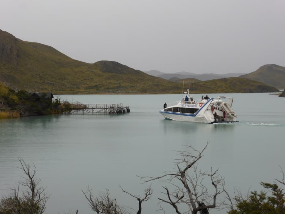 Sight · 5.2 km awayPudetoRoadside hub for the Pehoé ferry and Paine Grande hiking access.
Parkwolf’s Torres del Paine ranking

The audio tour guide for the drive, plus offline maps, trails, and wildlife heatmaps for when the signal drops.