Parking
Use the Salto Grande parking access near Estancia Pudeto. If the upper lot is full, the fallback parking at Estancia Pudeto adds about 1 km each way.
#7 of 35 trails in Torres del Paine
Torres del Paine National Park, MA
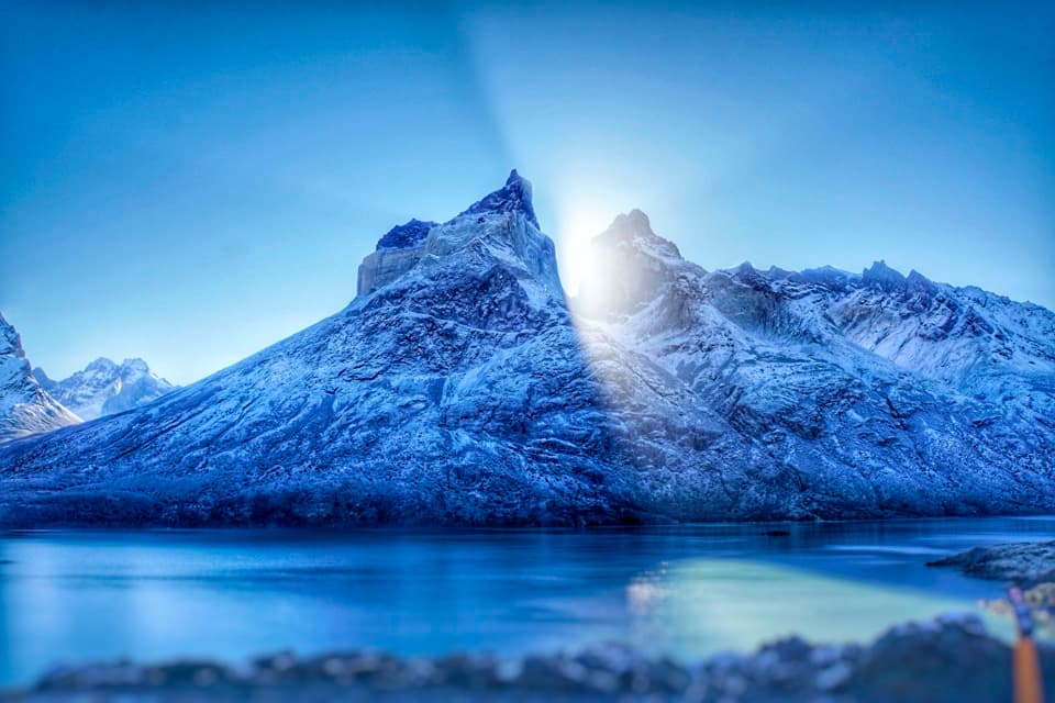
A waterfall, black-sand shore, and the Cuernos across the lake.
Overview
Map & elevation
Plan your hike

The highest, rockiest slopes around here are a summer buffet for grizzly bears.
Torres del Paine Tour Guide
Parkwolf is a GPS audio tour guide for Torres del Paine National Park. As you drive, it chimes in with what’s ahead: hidden gems, upcoming stops, history, geology, and wildlife, right through your car’s speakers.
See the Torres del Paine audio tourRecorded for this trailhead
Salto Grande and the Cuernos“Salto Grande is coming up, with turquoise water squeezing through dark rock on its way from Lago Nordenskjöld toward Lago Pehoé.”
Plays as you drive up to this trailhead in the Parkwolf Torres del Paine Tour Guide.
More stories near here in the app
“Fantastic app with many points of information… It’s great to just turn on while you’re driving and it gives you an audio tour of the national Park. We love it!!!!”


Trail guide
Mirador Cuernos is a marked out-and-back from the Salto Grande parking area near Estancia Pudeto, on the south shore of Lago Nordenskjöld. The route is about 3.9 miles (6.2 km) round trip, following the track to a small fenced lookout above the lake and returning the same way. Allow about 2 to 2.5 hours if you stop at Salto Grande and the shore. It is a scenic half-day walk with a gentle overall grade and rougher footing after the waterfall. If you only have time for one quick stop, the Salto Grande platform is a shorter walk on the same approach. Published round-trip totals range from 3.7 to 4.0 miles; use about 3.9 miles for the marked south-shore route to the lookout and back.
A park entry ticket is required, and pets are prohibited in the national park. Start at the Salto Grande parking access. If the upper lot is full, fallback parking at Estancia Pudeto adds about 1 km each way. No trailhead food, drinking-water tap or toilet was verified, so arrive with what you need. Wind is a regular concern on the exposed shore: strong gusts can roughen the water, and Patagonian conditions can change quickly. Follow ranger direction, stay on authorized trails and do not hike after dark.
From the parking access, a wide gravel, road-like track takes you to the waterfall viewing platform. The Cuernos are already visible across the water, and a wind gauge at the signed entrance hints at the exposure ahead. Salto Grande means “large waterfall”; the platform sits above the falls, where you can take in the drop before continuing toward the lake. Stay on the marked route and use the platform for the view. The return follows the same path, so the falls make a natural stop on the way back too.
After Salto Grande, the route leaves the wider approach and follows a narrower path beside Lago Nordenskjöld. Around 1.5 km farther on, it reaches a small black-sand beach. The footing is rougher here: rocks, branches and logs lie across the shore, and strong gusts can drive waves toward the water’s edge. Give yourself room to step around debris and keep back from the lake when it is rough. The path gradually climbs away from the beach; after a turn, the small fenced lookout appears above the water, with a broad view of the Cuernos across the lake. Turn around at the lookout; the onward shoreline walk belongs to a longer route.
The beach’s stones and driftwood make a useful foreground for framing the horns across the water; they show the lake’s scale and the distance to the massif. The Salto Grande platform is the place to frame the waterfall itself. Keep to the signed viewing areas and authorized path.
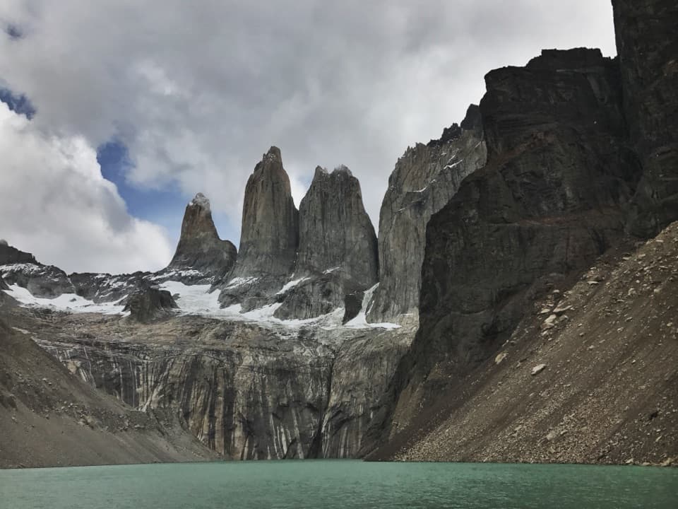
The Cuernos’ dark and pale contrast comes from rocks of very different ages. Dark Cretaceous sedimentary layers are about 98 to 86 million years old; pale granite intruded into them around 12.5 million years ago. Look for the lighter rock set against the darker faces as you watch the skyline from the south shore. Across the wider park, advancing and retreating glaciers shaped the Paine forms and left the larger landscape of valleys and moraines.
Lago Nordenskjöld honors Otto Nordenskjöld, a Swedish naturalist who visited the area in 1898. This walk traces the lake’s southern edge, so the lookout puts the namesake water and the horn-shaped massif in the same view.
Wildlife
 113 sightingsPumaMost seen around 7 PMSighting map
 146 sightingsAndean CondorMost seen around noonSighting map
 381 sightingsGuanacoMost seen around 7 AMSighting map
 53 sightingsHuemulMost seen around 7 AMSighting map
 36 sightingsLesser RheaMost seen around 6 PMSighting map
 11 sightingsWild HorseMost seen around 7 AMSighting map
Sighting maps show where each species has been reported across Torres del Paine. Wildlife moves, so no sighting is guaranteed.
Keep exploring
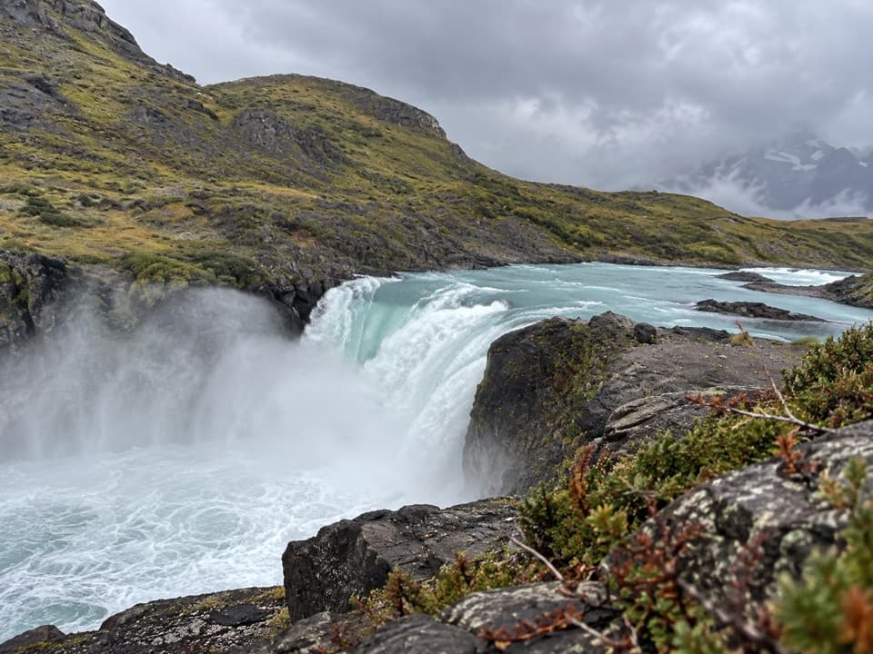 EasySalto Grande Waterfall Trail1.4 km · 30 min · At the trailheadA short, easy walk ends beside a roaring turquoise waterfall.
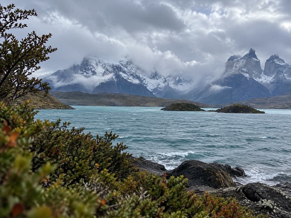 EasyMirador Cardán Trail0.5 km · 10 min · 4.7 km awayA short walk to a beach below Los Cuernos.
 ModerateMirador Cóndor Trail2.4 km · 1.5 hr · 4.9 km awayA short, steep climb to a sweeping Pehoé and Paine panorama.
 ChallengingMirador Británico Trail10.8 km · 6 hr · 5.2 km awayA steep climb into a granite amphitheater above the glacier.
 EasyLago Sarmiento – Sendero de los Trombolitos4.9 km · 2.5 hr · 5.6 km awayWhite thrombolites make this quiet Sarmiento shore unusual.
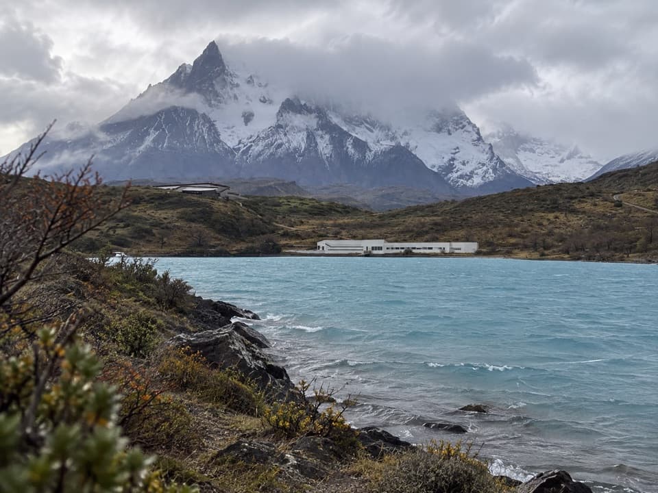 EasyRibera Paine Trail1.6 km · 1.3 hr · 5.7 km awayAn easy loop over low hills to the Paine River
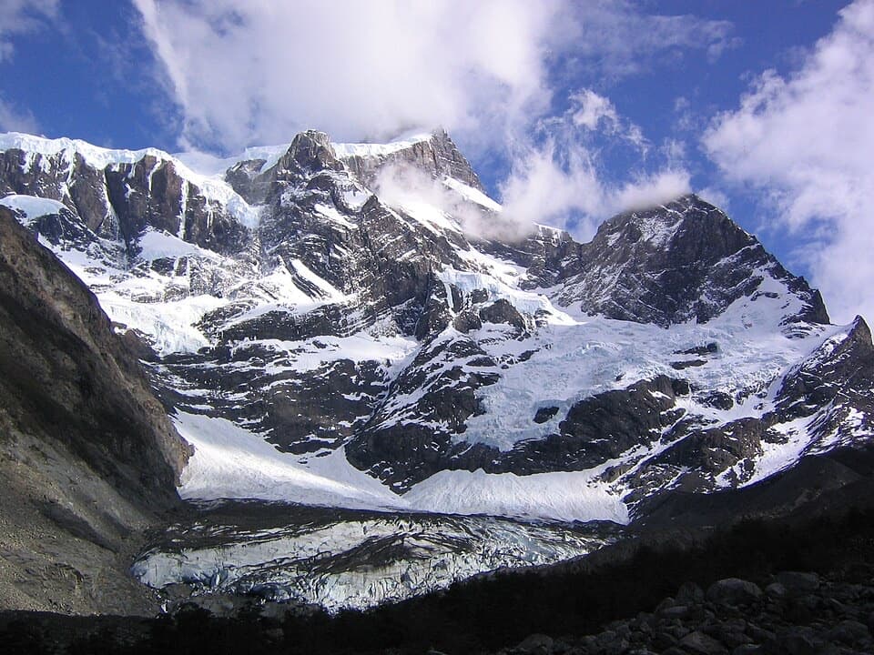 ChallengingValle del Francés20 km · 8.5 hr · 6.7 km awayLago Skottsberg gives way to a steep climb beneath the French Glacier.
 ModerateMirador Grey Trail from Paine Grande11.9 km · 4.5 hr · 6.8 km awayA rocky climb earns a distant Grey Glacier view
 Sight · 0.6 km awayMirador Salto GrandeA roadside panorama of turquoise water, distant falls and mountain peaks.
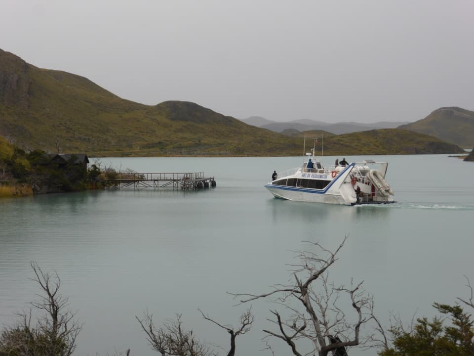 Sight · 0.7 km awayPudetoRoadside hub for the Pehoé ferry and Paine Grande hiking access.
 Sight · 0.7 km awaySalto Grande WaterfallTake the easy walk to see where two Patagonian lakes meet.
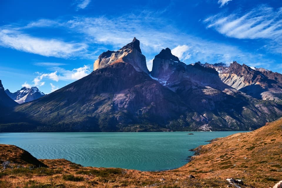 Sight · 2.1 km awayMirador CuernosA two-hour lakeside walk ending face-to-face with the Cuernos.
 Lodging · 3.3 km awayHostería PehoéA small island stay with the Paine horns across the water.
 Sight · 3.5 km awayMirador Lago PehoéWorth a quick pullout for Pehoé’s lake and Paine skyline.
 Sight · 4.3 km awayMirador CóndorA short, windy climb to a huge Paine panorama.
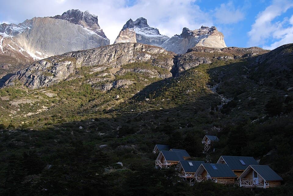 Campground · 4.7 km awayRefugio y Camping Los CuernosA tent or cabin stop beneath the Cuernos, beside Lake Nordenskjöld.
Parkwolf’s Torres del Paine ranking

The audio tour guide for the drive, plus offline maps, trails, and wildlife heatmaps for when the signal drops.