Parking
No road access at Paine Grande. Arrive by catamaran from Pudeto across Lago Pehoé or by another W Trek segment; Refugio Grey is also roadless, so plan the onward boat, overnight stay, or return hike separately.
#6 of 35 trails in Torres del Paine
Torres del Paine National Park, MA
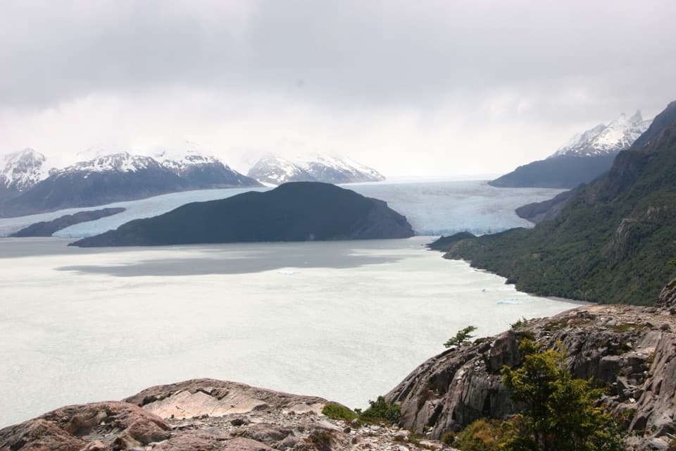
An 11-kilometer W-route crossing with Grey Glacier in view.
Overview
Map & elevation
Plan your hike

The highest, rockiest slopes around here are a summer buffet for grizzly bears.
Torres del Paine Tour Guide
Parkwolf is a GPS audio tour guide for Torres del Paine National Park. As you drive, it chimes in with what’s ahead: hidden gems, upcoming stops, history, geology, and wildlife, right through your car’s speakers.
See the Torres del Paine audio tourRecorded for this trailhead
Pudeto: Across Pehoé to Paine Grande“You're coming up on Pudeto, the dock for the catamaran across Lago Pehoé. The roughly half-hour crossing reaches Paine Grande, a roadless refuge and hiking base, with mountain views along the way.”
Plays as you drive up to this trailhead in the Parkwolf Torres del Paine Tour Guide.
More stories near here in the app
“Fantastic app with many points of information… It’s great to just turn on while you’re driving and it gives you an audio tour of the national Park. We love it!!!!”


Trail guide
Paine Grande to Refugio Grey is the western arm of the W Trek: an 11 km (6.8 mi) one-way crossing from the ferry landing at Paine Grande to the Grey refuge. CONAF rates it medium and lists 3½ hours; most walkers should leave 3½ to 4 hours for the walk itself, before stops. The trail ends at Refugio Grey. The separate glacier-front lookout beyond the refuge adds about 1 km each way, and walking back to Paine Grande makes the refuge crossing roughly 22 km round trip. If you want the full Grey experience, keep those extra miles and your return plan in mind before setting out.
The trail first climbs for about 3 km through an open valley. The grade is mostly gradual, with a few steeper pitches and stretches of flatter ground; low, stunted and dead trees make the climb feel exposed rather than forested. Laguna de los Patos is a good place to pause before the longer traverse. Ducks have been seen feeding there on calm days, but wind can rough up the small lake and leave it quiet. Much of the mapped tread is natural ground, with steps and bridges near the Grey end; expect a real hike rather than a smooth road walk.
Beyond the lagoon, the route keeps gaining and rolling across open slopes. Views widen over Lago Grey, with snow-covered peaks and the glacier at the far end. Mirador Lago Grey is the first major payoff, before halfway: icebergs drift across the lake below the mountain skyline. It is a different stop from the glacier mirador beyond Refugio Grey. If your day’s transport or energy will not stretch to the refuge and back, this earlier lookout is a sensible place to turn around; the route continues much farther to the refuge.
After Mirador Lago Grey, most of the route descends toward Grey, broken by a couple of short climbs and flatter stretches. The walk is not a constant downhill: keep enough energy for the small rises and for the return if you are doubling back. Near the refuge, the trail crosses the Olguín bridge and reaches the ranger area, campground and lodging. The signed glacier-front viewpoint is beyond the refuge and campsite; it takes roughly another 10–15 minutes each way and is outside this route’s endpoint.
Grey Glacier flows from the Southern Patagonian Ice Field, and its pale ice and floating fragments give the last part of this walk its unmistakable character. At the earlier lake lookout, try composing the icebergs in front of the distant glacier; at the later viewpoint beyond the refuge, small rocky paths offer several different angles. The Paine massif is a separate mountain system from the Andes, with sedimentary upper peaks above a granite base. Glacial advances and retreats shaped its forms over millions of years, the same process that carved the lakes and valleys along this route.
Paine Grande has no road access: reach the ferry landing by catamaran across Lago Pehoé from Pudeto, or arrive along another W segment. Refugio Grey is also roadless, so arrange the onward boat, overnight stay or return walk separately; boat schedules and services change. CONAF lists groceries at concessioned mountain refugios and camps, but there are no services between the two ends, so carry what you need for the crossing. The W sector is guided-only in winter; CONAF lists snow, debris flows and avalanches from May through September. Pets are not allowed in the park.
Wildlife
 113 sightingsPumaMost seen around 7 PMSighting map
 146 sightingsAndean CondorMost seen around noonSighting map
 381 sightingsGuanacoMost seen around 7 AMSighting map
 53 sightingsHuemulMost seen around 7 AMSighting map
 36 sightingsLesser RheaMost seen around 6 PMSighting map
 11 sightingsWild HorseMost seen around 7 AMSighting map
Sighting maps show where each species has been reported across Torres del Paine. Wildlife moves, so no sighting is guaranteed.
Keep exploring
 ModeratePaine Grande to Administration Trail17.9 km · 5 hr · At the trailheadA long one-way mountain walk from Paine Grande to park Administration.
 ModerateMirador Grey Trail from Paine Grande11.9 km · 4.5 hr · At the trailheadA rocky climb earns a distant Grey Glacier view
 EasyMirador Lago Skottsberg5 km · 1.5 hr · At the trailheadA short lake walk ends with the granite towers of Los Cuernos.
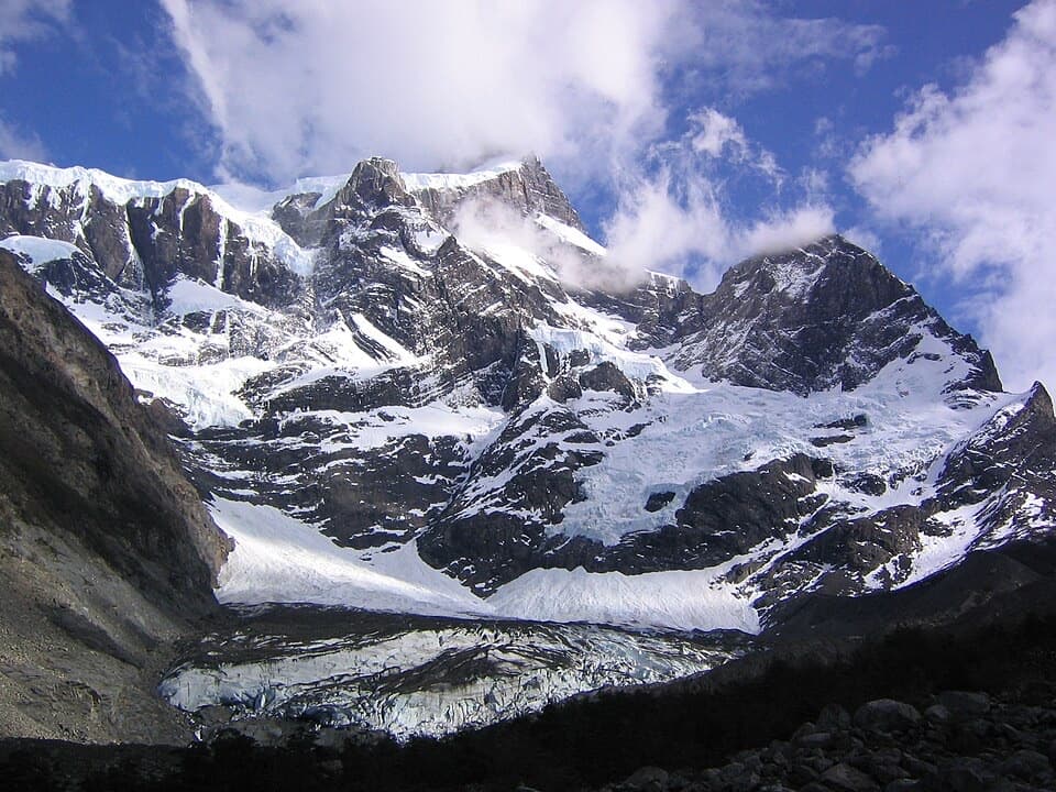 ChallengingValle del Francés20 km · 8.5 hr · 0.2 km awayLago Skottsberg gives way to a steep climb beneath the French Glacier.
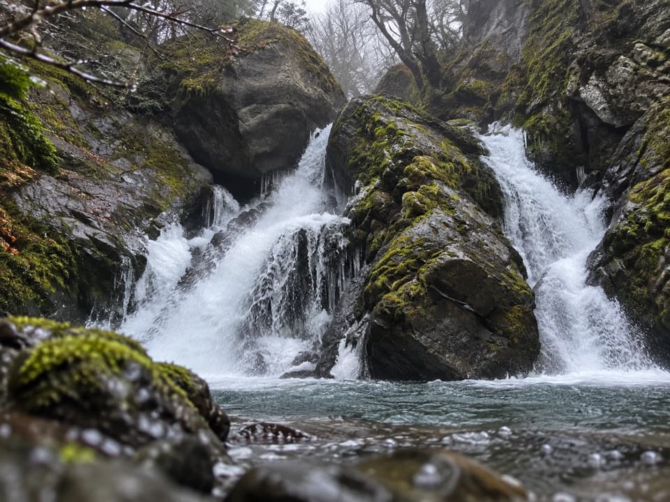 ModerateChorrillo de los Salmones8.9 km · 3.5 hr · 6.3 km awayFollow the Pingo River to a forest waterfall lookout and return.
 ChallengingMirador Británico Trail10.8 km · 6 hr · 6.3 km awayA steep climb into a granite amphitheater above the glacier.
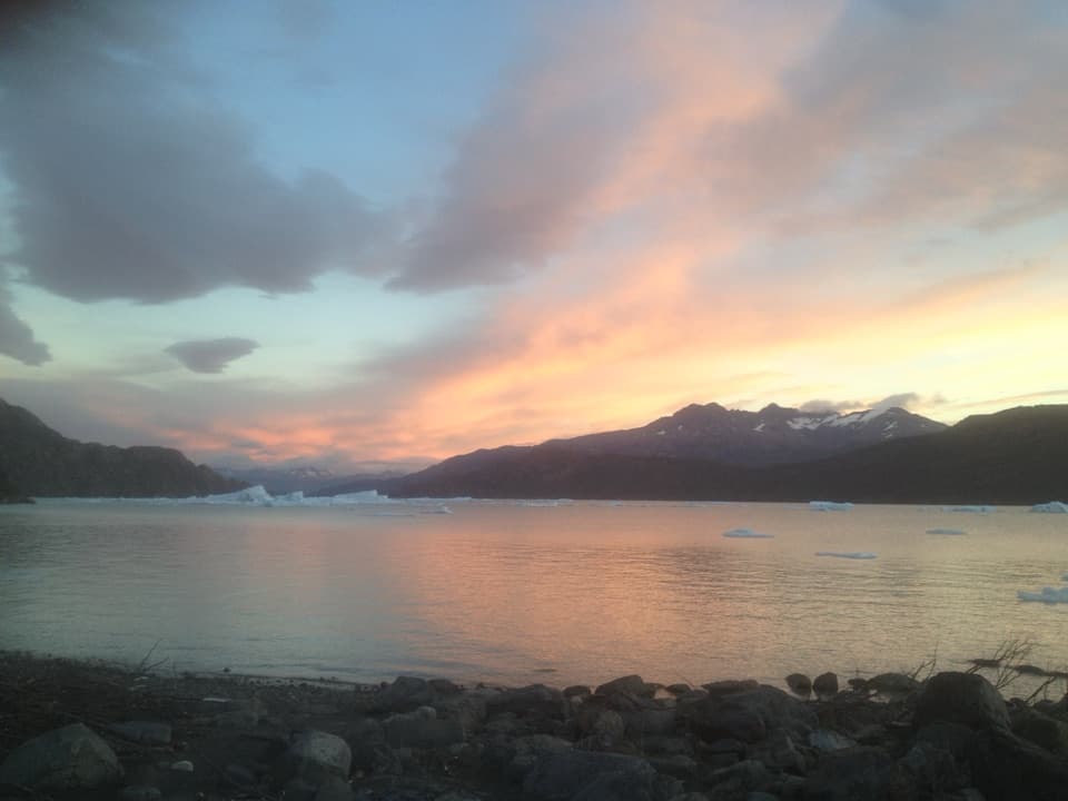 EasyPlaya Grey and Mirador Isla de los Hielos Trail5.3 km · 2 hr · 6.3 km awayLoose pebbles, drifting ice and a broad view across Grey Lake.
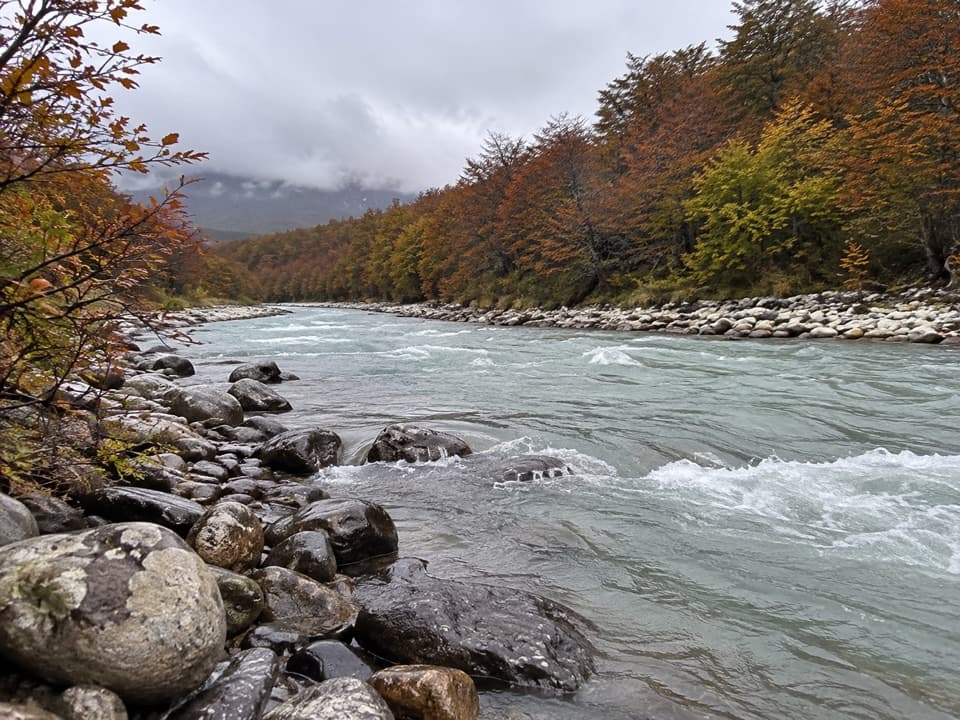 ChallengingCascada Pingo Trail22 km · 8 hr · 6.3 km awayA long river valley walk through lenga forest toward a waterfall.
 Lodging · At the trailheadPaine Grande Refuge and CampingA lakefront refuge with the W Trek's western routes at its door.
 Visitor center · 0.2 km awayCentro de Visitantes Paine GrandeRanger information and park history at a remote trekking base
 Sight · 2.4 km awaySköttsberg Lake ViewpointA lakeside pause on the Paine Grande–Italiano hiking route.
 Sight · 3 km awayMirador PehoéA lakeshore walk and climb to Pehoé’s western mountain view.Beach · 4.6 km awayPlaya GreyWalk the south shore for icebergs and a far-off Grey Glacier.Sight · 5.1 km awayMirador Lago GreyGrey Lake runs to a faraway glacier between dark peaks.
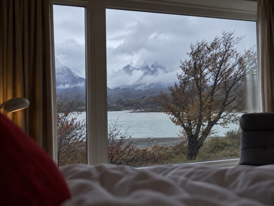 Lodging · 5.8 km awayHotel Lago GreyA remote lakeside hotel and check-in point for Grey Glacier boats.
 Sight · 6.1 km awaySalto Grande WaterfallTake the easy walk to see where two Patagonian lakes meet.
Parkwolf’s Torres del Paine ranking

The audio tour guide for the drive, plus offline maps, trails, and wildlife heatmaps for when the signal drops.