Parking
Paine Grande has no road access; reach Guardería Paine Grande by catamaran from Pudeto. Check the current boat timetable before starting the long out-and-back.
#5 of 35 trails in Torres del Paine
Torres del Paine National Park, MA
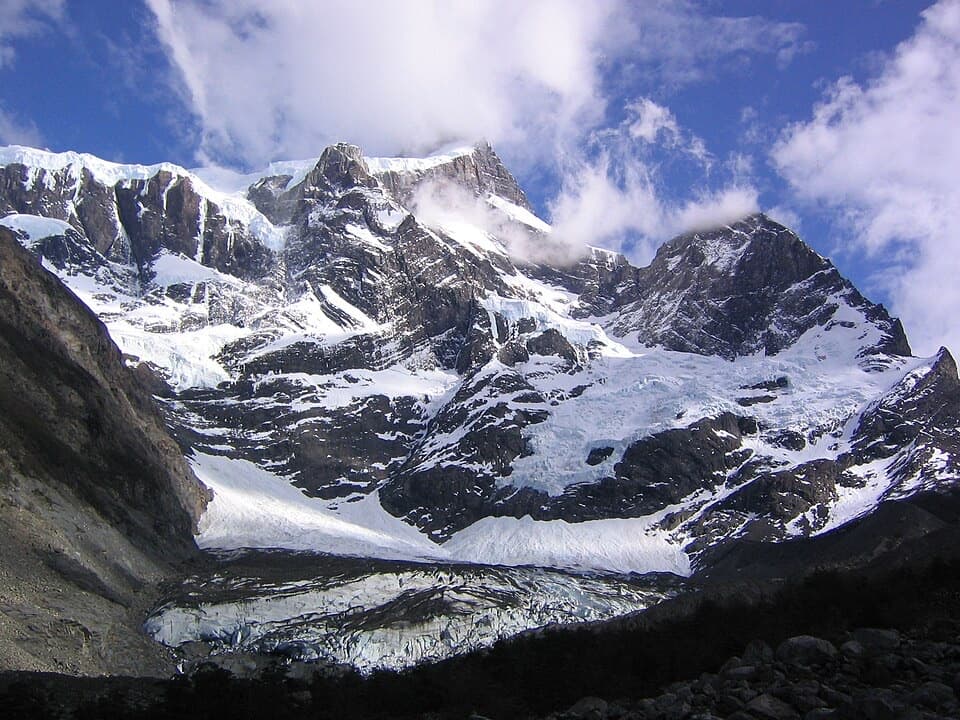
Lago Skottsberg gives way to a steep climb beneath the French Glacier.
Overview
Map & elevation
Plan your hike

The highest, rockiest slopes around here are a summer buffet for grizzly bears.
Torres del Paine Tour Guide
Parkwolf is a GPS audio tour guide for Torres del Paine National Park. As you drive, it chimes in with what’s ahead: hidden gems, upcoming stops, history, geology, and wildlife, right through your car’s speakers.
See the Torres del Paine audio tourRecorded for this trailhead
Pudeto: Across Pehoé to Paine Grande“You're coming up on Pudeto, the dock for the catamaran across Lago Pehoé. The roughly half-hour crossing reaches Paine Grande, a roadless refuge and hiking base, with mountain views along the way.”
Plays as you drive up to this trailhead in the Parkwolf Torres del Paine Tour Guide.
More stories near here in the app
“Fantastic app with many points of information… It’s great to just turn on while you’re driving and it gives you an audio tour of the national Park. We love it!!!!”


Trail guide
Valle del Francés is a long out-and-back from Guardería Paine Grande to the lower Mirador Francés and back. It follows the W route beside Lago Skottsberg, crosses the Río Francés on a suspension bridge, passes Campamento Italiano, and climbs to a glacier-facing viewpoint beneath the French Valley walls. The full mapped walk is 12.4 miles (19.9 km) round trip; allow about 8–9 hours on trail. Published distances for the valley range from 10 to 11.5 miles but do not clearly identify the same turnaround. This entry runs to the lower Mirador Francés and leaves out the higher Mirador Británico extension. A day hike also depends on a catamaran from Pudeto to Paine Grande and back, so keep the boat timetable in view from the start.
The first part is a long approach through open stretches beside Lago Skottsberg. The lake, Paine Grande and the French Glacier stay in view at different points, with the glacier becoming more prominent as you get closer to the valley. It is a rewarding walk in its own right, but the distance to the lookout is easy to underestimate: this is not a short spur from a roadside trailhead.
Near Campamento Italiano, the route crosses the Río Francés on a narrow suspension bridge. Beyond the camp, the trail climbs through trees; about half a kilometer up, it comes onto a rocky slope where the glacier view opens. The path returns to trees before the final ascent, so expect the scenery and footing to change rather than a steady open ridge walk.
The last climb to Mirador Francés is the steepest part and is rocky, with loose footing that can be slippery. The effort pays off in a broad view of the French Glacier, the valley, Cuernos del Paine and Lago Nordenskjöld. The glacier is the defining feature; the lookout is also where many hikers decide they have had enough climbing for the day. Weather can shift from sun to rain, snow or gusty wind quickly, so bring layers and leave room in the day to turn back without rushing.
Mirador Británico is higher in the valley and is not part of this route’s 12.4-mile distance. The official park trail list gives the Italian Camp to Británico section as a separate 5.4 km one-way climb, with demanding terrain and winter snow risk. The lower Mirador Francés already gives the close glacier view; continue toward Británico only if you have the time, conditions and energy for a much bigger day.
Paine Grande has no road access. Reach it by catamaran from Pudeto, and check the current boat timetable before starting because the return crossing is part of the day. The park requires hikers to stay on authorized trails and walk in daylight; pets are prohibited. CONAF’s current trail guidance also makes the W sections through Paine Grande, Italiano and Británico guide-only in the May–September winter period. Check the current winter protocol before planning a winter visit.
Wildlife
 113 sightingsPumaMost seen around 7 PMSighting map
 146 sightingsAndean CondorMost seen around noonSighting map
 381 sightingsGuanacoMost seen around 7 AMSighting map
 53 sightingsHuemulMost seen around 7 AMSighting map
 36 sightingsLesser RheaMost seen around 6 PMSighting map
 11 sightingsWild HorseMost seen around 7 AMSighting map
Sighting maps show where each species has been reported across Torres del Paine. Wildlife moves, so no sighting is guaranteed.
Keep exploring
 EasyMirador Lago Skottsberg5 km · 1.5 hr · 0.2 km awayA short lake walk ends with the granite towers of Los Cuernos.
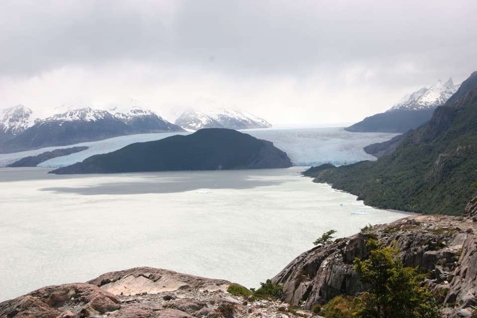 ModeratePaine Grande to Refugio Grey Trail11 km · 3.8 hr · 0.2 km awayAn 11-kilometer W-route crossing with Grey Glacier in view.
 ModeratePaine Grande to Administration Trail17.9 km · 5 hr · 0.2 km awayA long one-way mountain walk from Paine Grande to park Administration.
 ModerateMirador Grey Trail from Paine Grande11.9 km · 4.5 hr · 0.2 km awayA rocky climb earns a distant Grey Glacier view
 ChallengingMirador Británico Trail10.8 km · 6 hr · 6.1 km awayA steep climb into a granite amphitheater above the glacier.
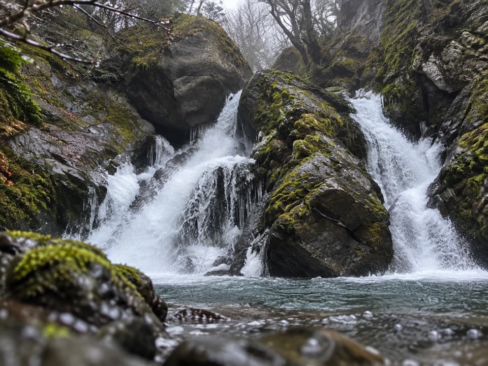 ModerateChorrillo de los Salmones8.9 km · 3.5 hr · 6.5 km awayFollow the Pingo River to a forest waterfall lookout and return.
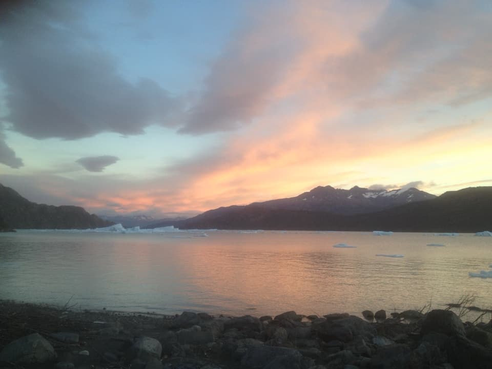 EasyPlaya Grey and Mirador Isla de los Hielos Trail5.3 km · 2 hr · 6.5 km awayLoose pebbles, drifting ice and a broad view across Grey Lake.
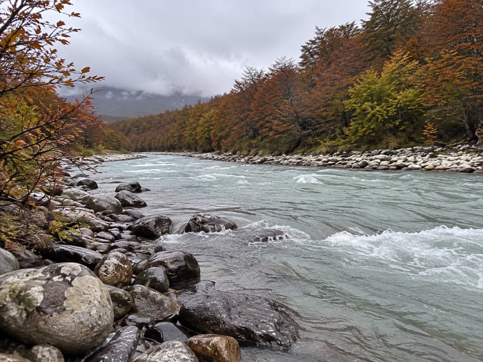 ChallengingCascada Pingo Trail22 km · 8 hr · 6.5 km awayA long river valley walk through lenga forest toward a waterfall.
 Visitor center · 0.1 km awayCentro de Visitantes Paine GrandeRanger information and park history at a remote trekking base
 Lodging · 0.2 km awayPaine Grande Refuge and CampingA lakefront refuge with the W Trek's western routes at its door.
 Sight · 2.3 km awaySköttsberg Lake ViewpointA lakeside pause on the Paine Grande–Italiano hiking route.
 Sight · 3.2 km awayMirador PehoéA lakeshore walk and climb to Pehoé’s western mountain view.Beach · 4.7 km awayPlaya GreyWalk the south shore for icebergs and a far-off Grey Glacier.Sight · 5.1 km awayMirador Lago GreyGrey Lake runs to a faraway glacier between dark peaks.
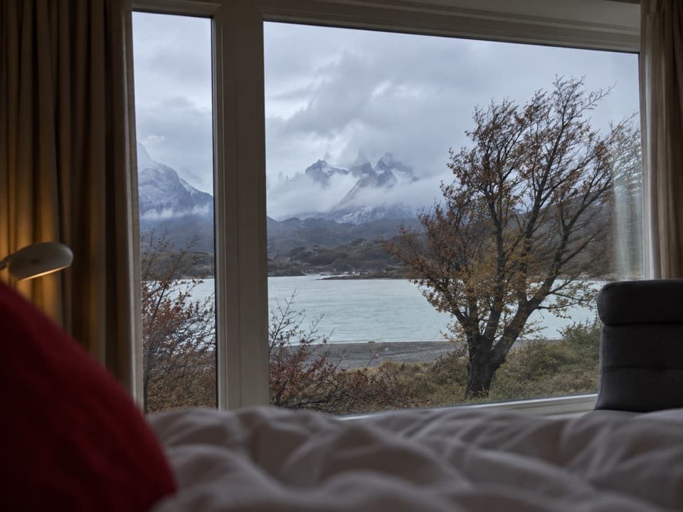 Lodging · 6 km awayHotel Lago GreyA remote lakeside hotel and check-in point for Grey Glacier boats.
 Sight · 6.1 km awaySalto Grande WaterfallTake the easy walk to see where two Patagonian lakes meet.
Parkwolf’s Torres del Paine ranking

The audio tour guide for the drive, plus offline maps, trails, and wildlife heatmaps for when the signal drops.