Parking
Parking details at Camping Las Torres were not verified; confirm vehicle and arrival arrangements with the park before travel.

#3 of 35 trails in Torres del Paine
Torres del Paine National Park, MA
Eight-day Paine massif loop over John Gardner Pass to Grey Glacier.
Overview
The O Circuit is a 93 km (57.8 mi) backpacking loop around the Paine massif, beginning and ending at Camping Las Torres in the Central sector. The usual counterclockwise line crosses pampas and lenga forest to Seron, circles Lago Paine and Lago Dickson through Los Perros, climbs John Gardner Pass above Grey Glacier, then returns via the Grey and Paine Grande sectors along the southern W corridor. Allow about eight trekking days. This measured loop excludes the separate Base Torres walk and the climb to Mirador Britanico; those excursions add distance. Reserve authorized camps or refugios for each overnight stage before setting out.
Map & elevation
Plan your hike

The highest, rockiest slopes around here are a summer buffet for grizzly bears.
Torres del Paine Tour Guide
Parkwolf is a GPS audio tour guide for Torres del Paine National Park. As you drive, it chimes in with what’s ahead: hidden gems, upcoming stops, history, geology, and wildlife, right through your car’s speakers.
See the Torres del Paine audio tourRecorded for this trailhead
Las Torres: Before the Climb“You're approaching the Las Torres sector, the starting area for the walk to the lake beneath the three granite towers.”
Plays as you drive up to this trailhead in the Parkwolf Torres del Paine Tour Guide.
More stories near here in the app
“Fantastic app with many points of information… It’s great to just turn on while you’re driving and it gives you an audio tour of the national Park. We love it!!!!”


Trail guide
Treat this as an expedition-scale backpacking route, not a day hike. The eastern approach moves through open grassland and lenga woodland toward Seron. North of there, the Paine River and Lago Paine lead to Lago Dickson; the trail then follows the Los Perros River through forest toward a glacial lake below Los Perros Glacier. Booked overnight stops determine how the long sections break up, so settle the itinerary before arriving. The route's 93 km figure describes the core loop, without side trips to Base Torres or Mirador Britanico.
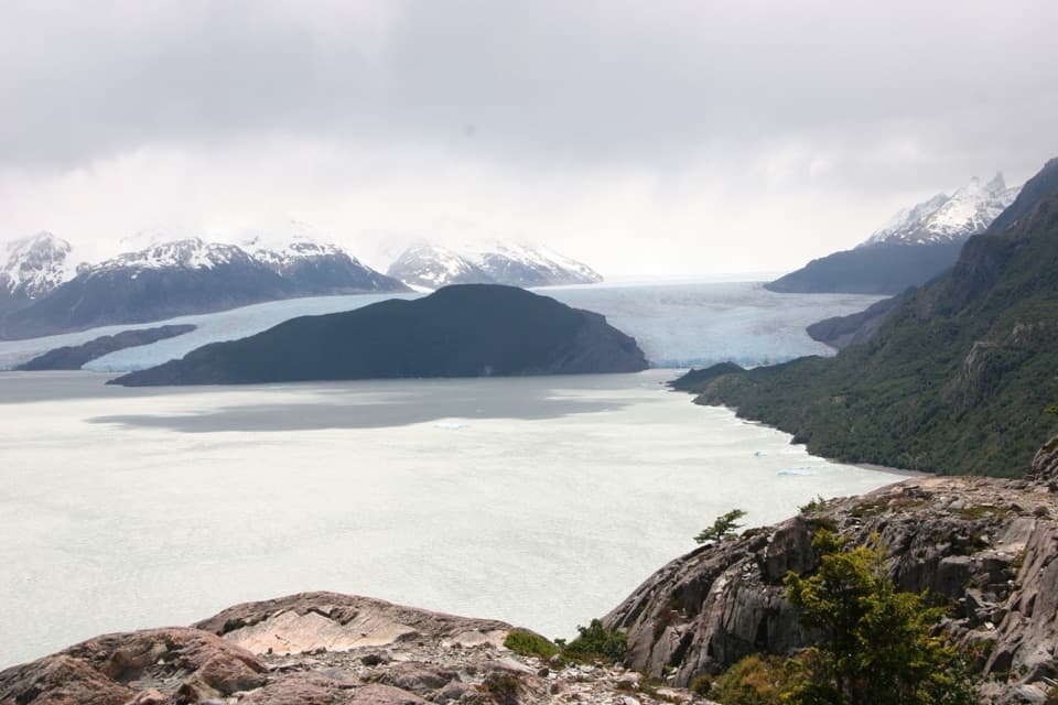
The Los Perros to Grey crossing is the circuit's most demanding stretch. A sustained climb rises through forest and exposed high ground to John Gardner Pass at about 1,180 m, followed by a long descent beside Grey Glacier. The pass can open onto a broad view of the glacier and icefield, while cloud can hide it. The descent crosses two long suspension bridges above deep ravines; the route map specifically cautions visitors with vertigo on the Grey–Paso section.
From the Grey sector the trail follows Lago Grey to Paine Grande, then continues east along the main W corridor toward Italiano, the Cuernos area and Central. The marked through-route passes the approaches to the French Valley, but the steep excursion to Mirador Britanico and the separate Base Torres out-and-back are optional additions, not part of the stored 93 km line.
Walk the marked trail in daylight, check in at guard stations, and log departures at Paso and Los Perros. Mobile service is absent across most of the route. River levels can rise; do not cross above knee depth. Confirm current route access and overnight reservations before travel. Pets are not permitted. Parking details at Camping Las Torres were not verified; confirm vehicle and arrival arrangements with the park before setting out.
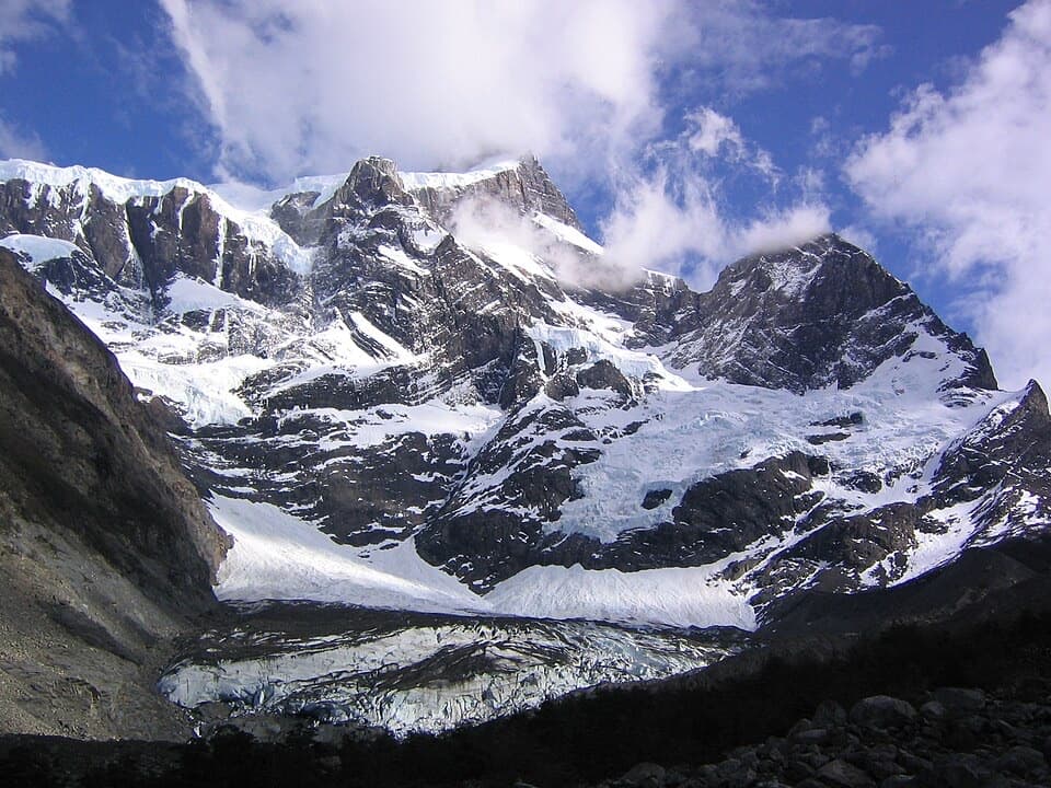
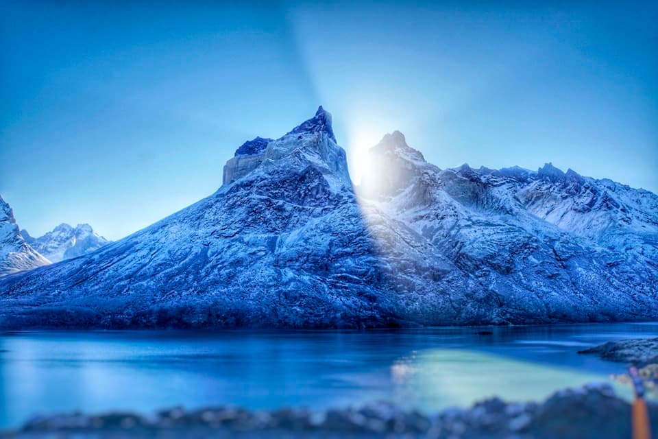
The Paine massif is granite shaped by glaciation, with the range's highest elevations reaching about 3,050 m. The circuit moves from forested valleys to bare moraine and ice-scoured slopes. The park's reported history gives Dickson Glacier an average retreat of 17 m per year between 1897 and 1943, a reminder that these views are part of a changing glacial landscape.
Lenga forest, Patagonian steppe and alpine terrain appear in succession around the loop. The park's broader wildlife list includes guanacos, huemuls, pumas and more than 100 bird species, but those are park-wide possibilities rather than reliable sightings on this route.
Wildlife
 113 sightingsPumaMost seen around 7 PMSighting map
 146 sightingsAndean CondorMost seen around noonSighting map
 381 sightingsGuanacoMost seen around 7 AMSighting map
 53 sightingsHuemulMost seen around 7 AMSighting map
 36 sightingsLesser RheaMost seen around 6 PMSighting map
 11 sightingsWild HorseMost seen around 7 AMSighting map
Sighting maps show where each species has been reported across Torres del Paine. Wildlife moves, so no sighting is guaranteed.
Keep exploring
 ChallengingW Trek (Circuito W)75.7 km · 1.3 days · 0.6 km awayThe Towers, French Valley and Grey Glacier, linked on foot.
 ChallengingCerro Paine Trail13.1 km · 9 hr · 0.6 km awayA steep lenga climb to Cerro Paine’s 1,508 m summit
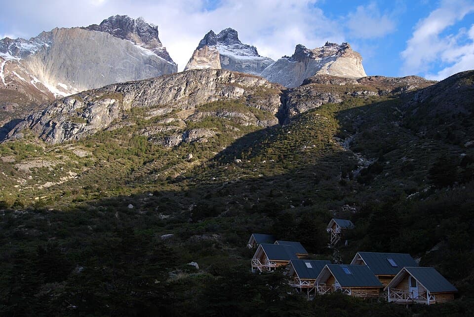 ChallengingSendero a Sector Cuernos23.2 km · 9 hr · 0.6 km awayA long lakeshore walk to the jagged Cuernos peaks.
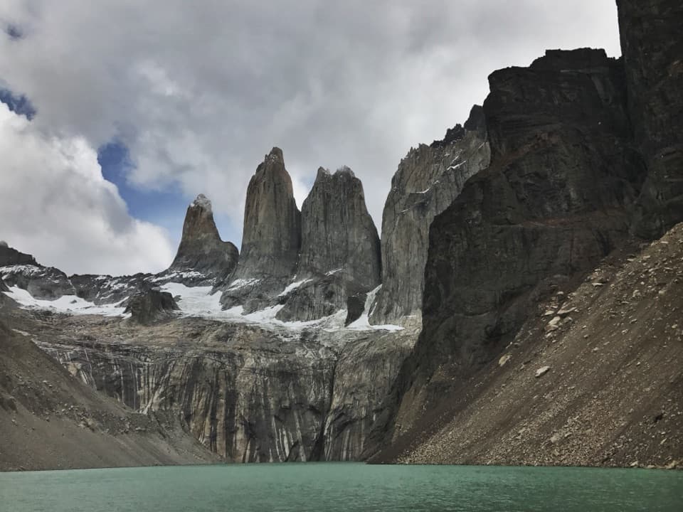 ChallengingBase Las Torres Trail20.1 km · 8 hr · 0.6 km awayA full-day climb to the lagoon beneath three granite towers.
 ModerateLaguna Inge Trail9.2 km · 2.3 hr · 0.8 km awayA short W route to a small lagoon and a Nordenskjöld view.
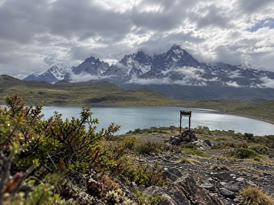 EasyLaguna Larga to Mirador Nordenskjöld3.5 km · 1.5 hr · 6 km awayA guided walk links Laguna Larga with broad Paine views.
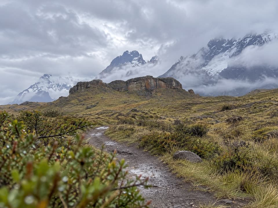 EasySendero Aonikenk6.6 km · 2.5 hr · 9.2 km awayA guided pampa traverse past rock art to Laguna Amarga.
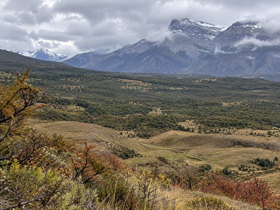 ModerateCañadón Macho–Loma Guanaco Trail7.1 km · 2.7 hr · 9.3 km awayLenga woods, open grassland, and a different view toward the Paine towers.
 Campground · 0.5 km awayRefugio y Camping CentralA trek base with refuge beds and several ways to camp.
 Lodging · 0.6 km awayHotel Las TorresWake up at the doorstep of the Base Torres trek.
 Visitor center · 0.6 km awayCentro de Bienvenida - Reserva Las TorresTrail snacks, last-minute gear, and a check-in at the trailhead.
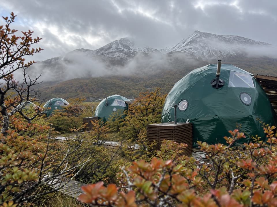 Lodging · 0.8 km awayEcoCamp PatagoniaA dome stay with views of the Paine Towers.
 Campground · 3.3 km awayRefugio y Camping ChilenoAn overnight stop for an early start to Base Torres.
 Entrance station · 4.9 km awayPortería Laguna AmargaThe practical eastern checkpoint before the park drive begins.
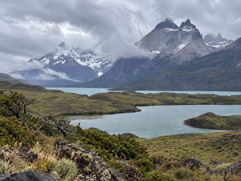 Sight · 6 km awayMirador Laguna LargaA short roadside view over a lagoon to the mountains.
 Sight · 6.1 km awayPaine WaterfallWaterfall tiers and the Paine towers share the frame.
Parkwolf’s Torres del Paine ranking

The audio tour guide for the drive, plus offline maps, trails, and wildlife heatmaps for when the signal drops.