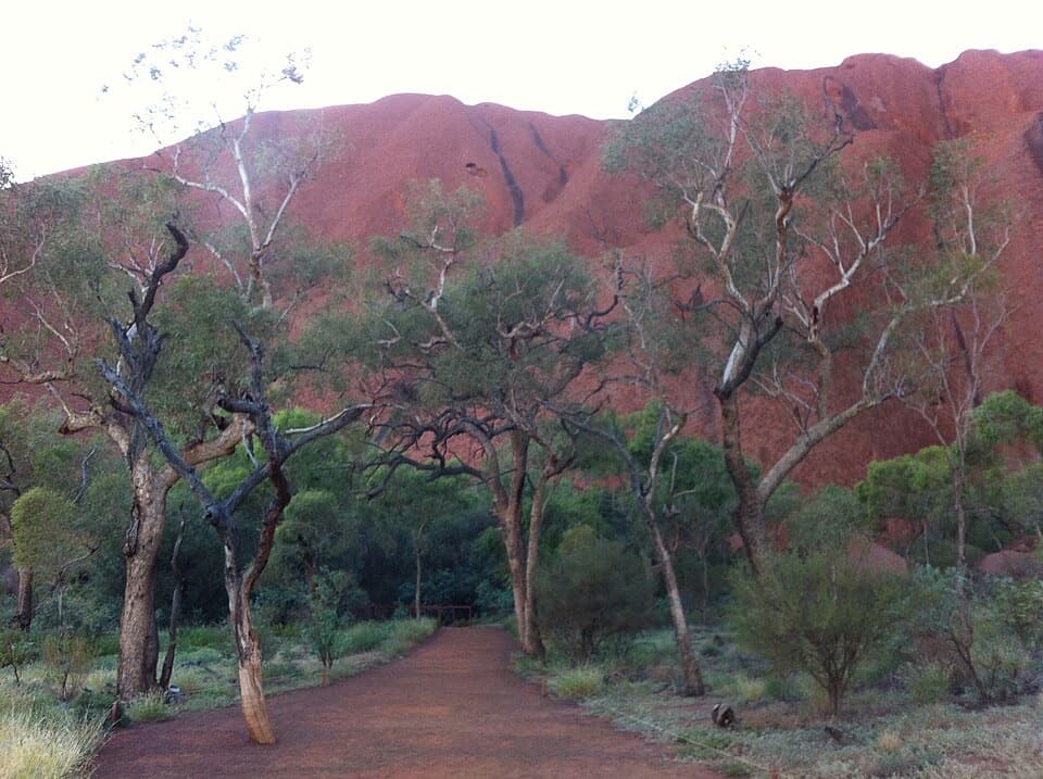
Parking
Use the signed Valley of the Winds carpark and start from the marked walking-track entrance. Parking capacity and fees are not listed in the official walk information.

#6 of 15 trails in Uluru-Kata Tjuta
Uluru-Kata Tjuta National Park, NT
A steep return to the second lookout, harder than the full circuit.
Overview
Map & elevation
Plan your hike

The highest, rockiest slopes around here are a summer buffet for grizzly bears.
Uluru-Kata Tjuta Tour Guide
Parkwolf is a GPS audio tour guide for Uluru-Kata Tjuta National Park. As you drive, it chimes in with what’s ahead: hidden gems, upcoming stops, history, geology, and wildlife, right through your car’s speakers.
See the Uluru-Kata Tjuta audio tourRecorded for this trailhead
Valley of the Winds: Choose Your Walk“Up ahead is the Valley of the Winds trailhead, where you can walk between Kata Tjuṯa's domes. The full circuit is seven point four kilometres and takes three to four hours, with steep, rocky sections and many steps.”
Plays as you drive up to this trailhead in the Parkwolf Uluru-Kata Tjuta Tour Guide.
More stories near here in the app
“Fantastic app with many points of information… It’s great to just turn on while you’re driving and it gives you an audio tour of the national Park. We love it!!!!”


Trail guide
Karingaṉa Lookout Walk is a 5.4 km out-and-back from the Valley of the Winds carpark to the second lookout among Kata Tjuṯa’s domes. Allow about 2.5 hours. The walk first reaches Karu Lookout, then descends into valleys and creek beds. For a shorter taste, Karu is 2.2 km return. The full 7.4 km circuit takes three to four hours; Parks Australia says it is easier than doubling back from Karingaṉa.
This is a Grade 4 track with loose rocks, many steps and steep sections. The route drops into the valleys on the way out, then you climb the same rough stretches on the way back. Very few people continue beyond Karu, but the quieter extension is more demanding than its distance suggests.
Drinking water is available at the start and halfway along; no toilets are listed. The walk beyond Karu closes from 11 a.m. when the forecast or actual temperature reaches 36°C or above. Plan around that access rule and check with the park before you set out on a hot day.
Parks Australia identifies the Valley of the Winds as a culturally sensitive men’s area. Do not photograph or film Kata Tjuṯa’s rock formations; close-up photos of flora, fauna and people are allowed. Dogs and other pets are not permitted. Assistance dogs are allowed on a lead no longer than three metres; bring the required documentation and tell staff at the entry station.
Wildlife
 32 sightingsDromedary CamelMost seen around 6 PMSighting map
 14 sightingsBlack-breasted KiteMost seen around 10 AMSighting map
 27 sightingsBrown FalconMost seen around 7 AMSighting map
 11 sightingsWestern Brown SnakeMost seen around 9 AMSighting map
 32 sightingsMain's FrogMost seen around 7 PMSighting map
 17 sightingsRed-backed KingfisherMost seen around 7 AMSighting map
Sighting maps show where each species has been reported across Uluru-Kata Tjuta. Wildlife moves, so no sighting is guaranteed.
Keep exploring
 ModerateKaru Lookout Walk2.2 km · 1 hr · At the trailheadA short, rocky walk to the first Valley of the Winds lookout.
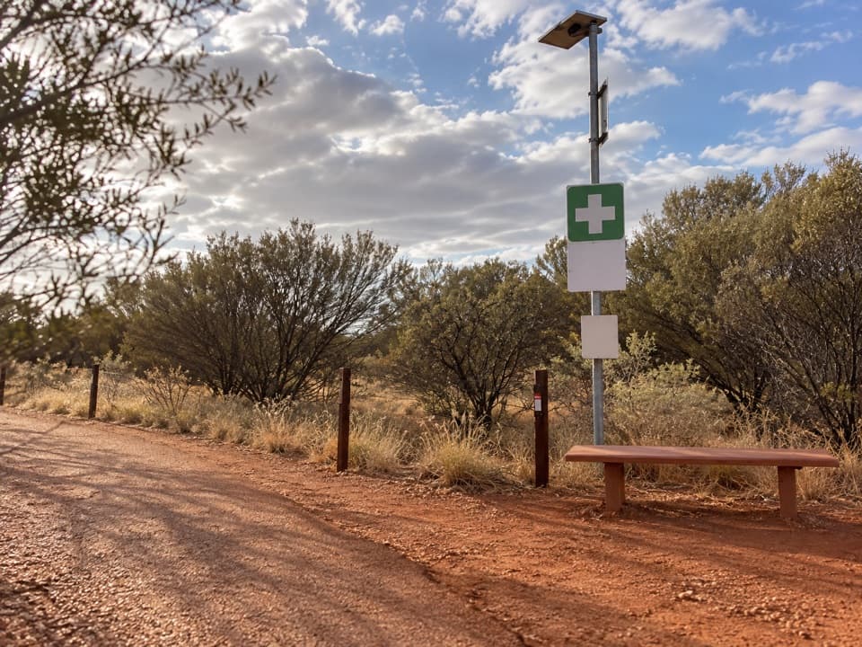 ChallengingValley of the Winds Full Circuit7.4 km · 4 hr · At the trailheadA rocky loop through Kata Tjuṯa’s valleys to two lookouts.
 ModerateWaḻpa Gorge Walk2.6 km · 1 hr · 1.7 km awayA short, rocky walk into the narrow gorge at Kata Tjuṯa.
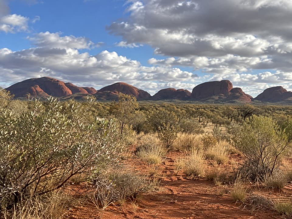 EasyKata Tjuṯa Dune Viewing Walk0.6 km · 30 min · 9.8 km awayA short, inclined boardwalk opens onto Kata Tjuṯa’s wide panorama.
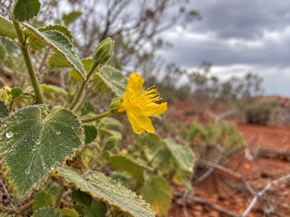 Sight · 1 km awayKaru LookoutFirst Valley of the Winds lookout; leave Kata Tjuṯa out of photos.
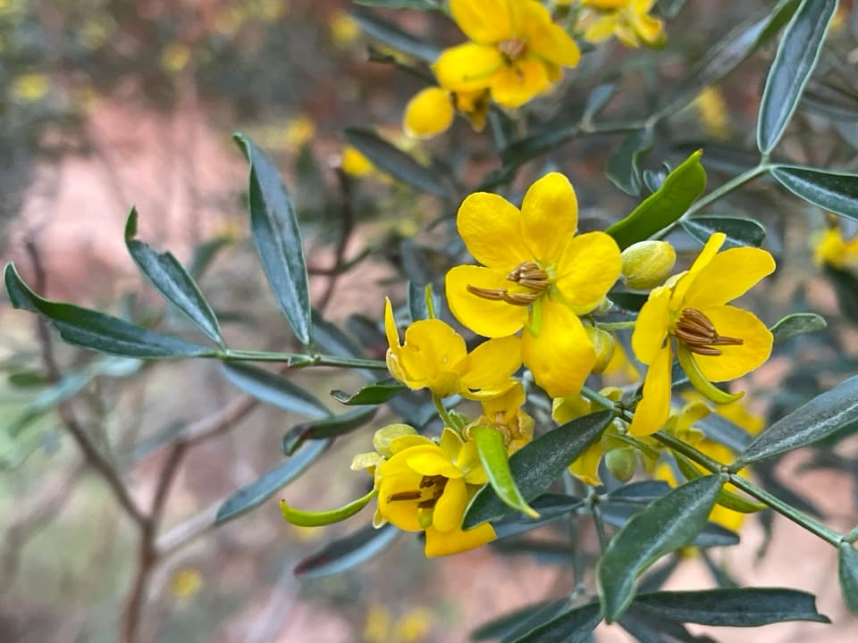 Sight · 1.8 km awayKaringaṉa LookoutA tough climb to a broad view across Kata Tjuṯa.Sight · 2.1 km awayWaḻpa GorgeA short rocky walk ends at a seasonal stream between the domes.
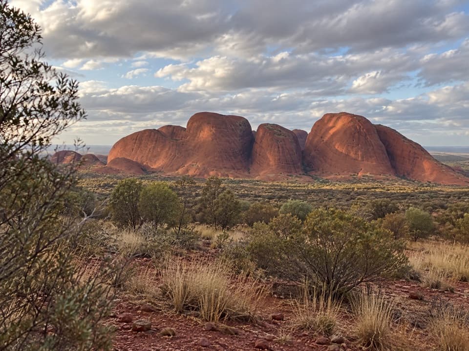 Sight · 2.2 km awayKata Tjuṯa Sunset Viewing AreaBring dinner; watch the domes change from pink to deep red.
 Sight · 9.6 km awayKata TjuṯaThirty-six domes rise from the plain, with walks through their folds.
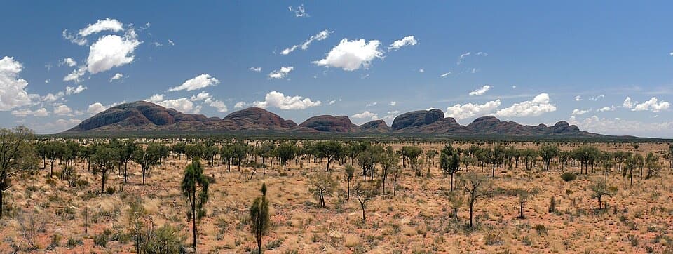 Sight · 9.6 km awayKata Tjuṯa Dune Viewing AreaSunset's usually quieter here, with 36 domes on the horizon.
Parkwolf’s Uluru-Kata Tjuta ranking

The audio tour guide for the drive, plus offline maps, trails, and wildlife heatmaps for when the signal drops.