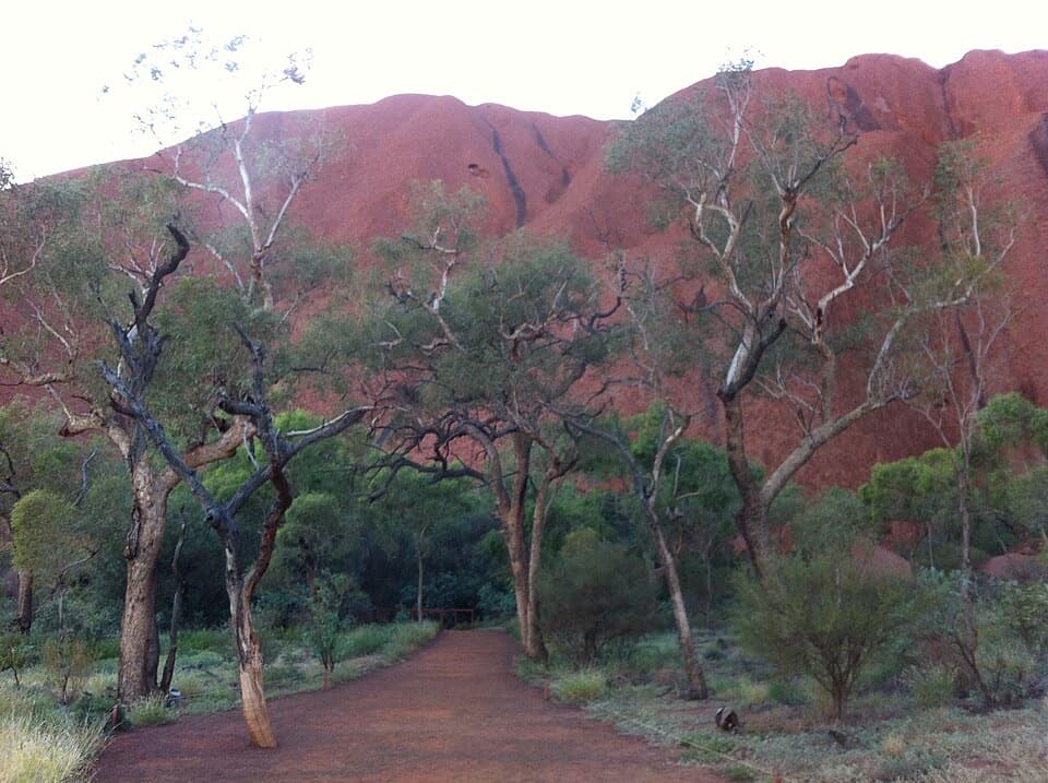
Parking
Start at the Valley of the Winds car park off Kata Tjuṯa Road; the walk begins from this access.
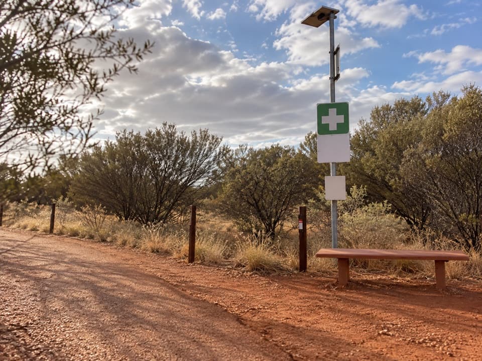
#2 of 15 trails in Uluru-Kata Tjuta
Uluru-Kata Tjuta National Park, NT
A rocky loop through Kata Tjuṯa’s valleys to two lookouts.
Overview
Map & elevation
Plan your hike

The highest, rockiest slopes around here are a summer buffet for grizzly bears.
Uluru-Kata Tjuta Tour Guide
Parkwolf is a GPS audio tour guide for Uluru-Kata Tjuta National Park. As you drive, it chimes in with what’s ahead: hidden gems, upcoming stops, history, geology, and wildlife, right through your car’s speakers.
See the Uluru-Kata Tjuta audio tourRecorded for this trailhead
Valley of the Winds: Choose Your Walk“Up ahead is the Valley of the Winds trailhead, where you can walk between Kata Tjuṯa's domes. The full circuit is seven point four kilometres and takes three to four hours, with steep, rocky sections and many steps.”
Plays as you drive up to this trailhead in the Parkwolf Uluru-Kata Tjuta Tour Guide.
More stories near here in the app
“Fantastic app with many points of information… It’s great to just turn on while you’re driving and it gives you an audio tour of the national Park. We love it!!!!”


Trail guide
Valley of the Winds is a 7.4-kilometre (4.6-mile) loop from the car park, past two lookouts and through valleys among Kata Tjuṯa’s domes. Allow three to four hours; the rough, steep sections make this a Grade 4 walk rather than a casual viewpoint stroll. The route returns to its starting access, and the complete circuit lets you see both Karu and Karingaṉa without retracing the steep descent from the second lookout.
The first lookout, Karu, is a 2.2-kilometre return walk of about an hour. Continuing to Karingaṉa and back the same way makes a 5.4-kilometre, roughly 2.5-hour option. Those shorter walks suit visitors who do not want the full loop. Beyond Karu, the circuit drops into the valley and creek beds, then climbs and descends over more rugged ground before it closes back toward the car park. Parks Australia describes the full circuit as easier than returning from Karingaṉa because that return repeats the steep section.
Expect loose rocks, steep spots and many steps, especially between the lookouts. The first section is moderately difficult, but the complete route is longer and more demanding. The terrain is uneven underfoot, so time estimates should leave room for careful progress and stops. Parks Australia notes that fewer walkers continue beyond Karu, so the later part of the circuit can feel quieter than the first lookout approach.
Kata Tjuṯa means “many heads” in Pitjantjatjara and consists of 36 domes. The conglomerate formations rise sharply above the surrounding plain. The route passes between them, with the lookouts opening views across the valleys and desert. The landform itself is the reason for the walk; follow the cultural guidance below when taking photos.
The section beyond Karu closes from 11 a.m. when the forecast or actual temperature is 36°C or higher. Check the park’s same-day notices before setting out and leave enough time to reach the circuit before any heat closure. Water is listed at the start and halfway along the walk, but carry enough for the entire route rather than depending on a midway supply. There are no toilets at the walk.
The walk starts at the Valley of the Winds car park off Kata Tjuṯa Road; a park entry pass is required. Ordinary pets are not permitted in the national park; documented assistance dogs may be allowed on a leash no longer than three metres. Aṉangu ask visitors not to photograph or film Kata Tjuṯa’s rock formations anywhere on this walk. Close-up photos of flora, fauna and people are allowed. Respect this guidance throughout the circuit.
Wildlife
 32 sightingsDromedary CamelMost seen around 6 PMSighting map
 14 sightingsBlack-breasted KiteMost seen around 10 AMSighting map
 27 sightingsBrown FalconMost seen around 7 AMSighting map
 11 sightingsWestern Brown SnakeMost seen around 9 AMSighting map
 32 sightingsMain's FrogMost seen around 7 PMSighting map
 17 sightingsRed-backed KingfisherMost seen around 7 AMSighting map
Sighting maps show where each species has been reported across Uluru-Kata Tjuta. Wildlife moves, so no sighting is guaranteed.
Keep exploring
 ChallengingKaringaṉa Lookout Walk5.4 km · 2.5 hr · At the trailheadA steep return to the second lookout, harder than the full circuit.
 ModerateKaru Lookout Walk2.2 km · 1 hr · At the trailheadA short, rocky walk to the first Valley of the Winds lookout.
 ModerateWaḻpa Gorge Walk2.6 km · 1 hr · 1.7 km awayA short, rocky walk into the narrow gorge at Kata Tjuṯa.
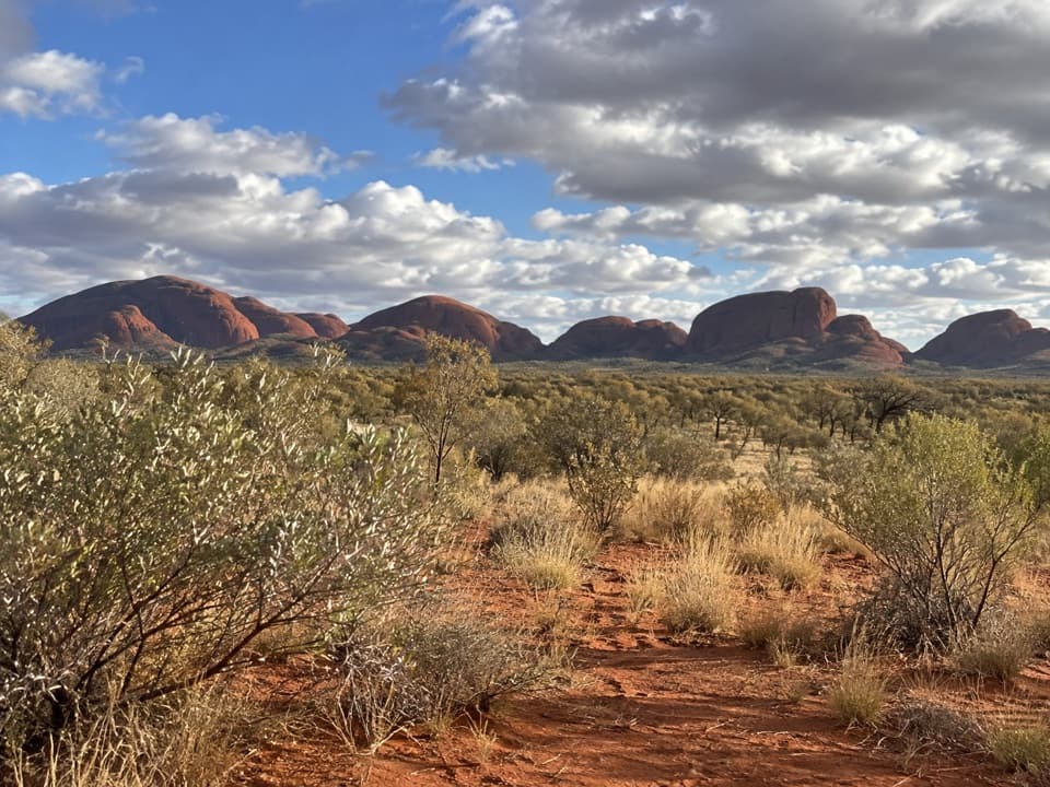 EasyKata Tjuṯa Dune Viewing Walk0.6 km · 30 min · 9.7 km awayA short, inclined boardwalk opens onto Kata Tjuṯa’s wide panorama.
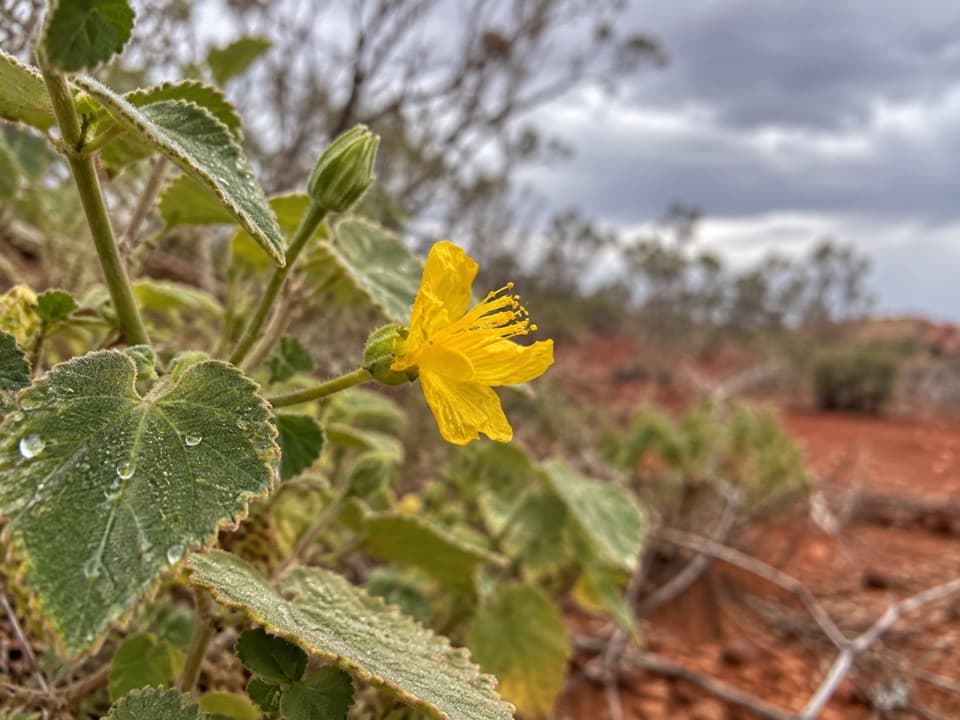 Sight · 1 km awayKaru LookoutFirst Valley of the Winds lookout; leave Kata Tjuṯa out of photos.
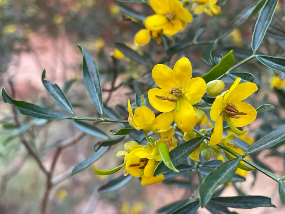 Sight · 1.7 km awayKaringaṉa LookoutA tough climb to a broad view across Kata Tjuṯa.Sight · 2.1 km awayWaḻpa GorgeA short rocky walk ends at a seasonal stream between the domes.
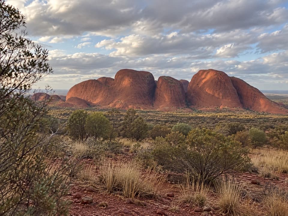 Sight · 2.3 km awayKata Tjuṯa Sunset Viewing AreaBring dinner; watch the domes change from pink to deep red.
 Sight · 9.5 km awayKata TjuṯaThirty-six domes rise from the plain, with walks through their folds.
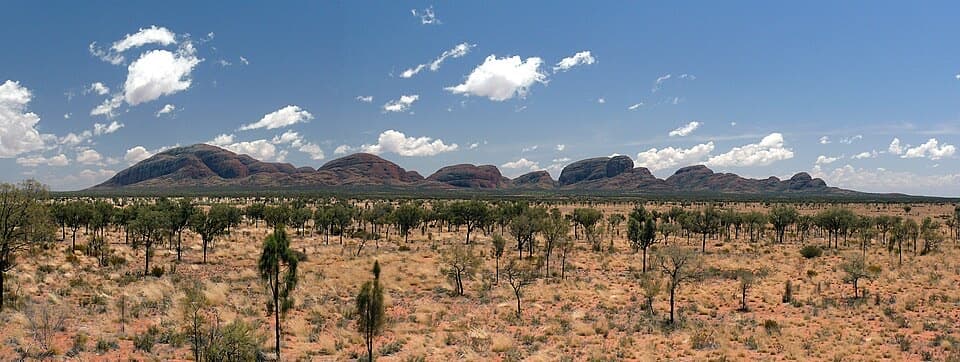 Sight · 9.5 km awayKata Tjuṯa Dune Viewing AreaSunset's usually quieter here, with 36 domes on the horizon.
Parkwolf’s Uluru-Kata Tjuta ranking

The audio tour guide for the drive, plus offline maps, trails, and wildlife heatmaps for when the signal drops.