Mouse’s Tank Picnic Area in Valley of Fire State Park

Picnic area · Valley of Fire State Park

Mouse’s Tank Picnic Area

A shaded lunch stop with petroglyphs just behind it.

Type
Picnic area
Nearest trail
0.1 mi
Audio stories
12 nearby
  • Picnic tables
  • Restrooms
  • Parking

Hear the audio tour

Mouse’s Tank: Look Along the Canyon Walls

Overview

About Mouse’s Tank Picnic Area

Why stop

  • Petroglyphs close to the shade make this more than a lunch stop.

Map

Where it is

Loading the Valley of Fire map
Full map
Picnic areaMouse’s Tank Picnic Area36.44155, -114.51709
Keep this map with you offline in the Parkwolf app

Plan your stop

Before you go

3 active Valley of Fire alerts

  • ClosureWest Entrance closed Monday–ThursdayThe West Entrance is closed Monday through Thursday; use the East Entrance on those days.Official details
  • CautionFire restrictions in effectFire restrictions are in effect throughout Nevada State Parks, including Valley of Fire; follow them to help prevent wildfires and protect lives, property and natural resources.Official details

See all 3 alerts
A park ranger sits on a dash-mounted phone, talking, as Parkwolf’s Tour Guide plays “Army Cutworm Moths: A Grizzly Bear Buffet” on Grand Loop Road below Dunraven Pass in Yellowstone
Parkwolf Tour GuideThe highest, rockiest slopes around here are a summer buffet for grizzly bears.

Valley of Fire Tour Guide

Your drive to Mouse’s Tank Picnic Area, narrated.

Parkwolf is a GPS audio tour guide for Valley of Fire State Park. As you drive, it chimes in with what’s ahead: hidden gems, upcoming stops, history, geology, and wildlife, right through your car’s speakers.

Recorded for this place

Mouse’s Tank: Look Along the Canyon Walls
0:00 / 0:25
“You're nearing the Mouse's Tank trailhead, where a sandy canyon walk passes petroglyphs on the way to a rain-catching rock basin.”

Plays as you drive up to Mouse’s Tank Picnic Area in the Parkwolf Valley of Fire Tour Guide.

More stories near here in the app

  • A Tortoise's Water Reserve
  • Rainbow Vista: The View Beside the Road
  • Balancing Rock: A Short Walk at the Old Visitor Center
  • Fire Canyon and Silica Dome: The Road-End View
  • 34 audio storiesacross Valley of Fire’s roads, triggered by GPS as you drive
  • Wildlife heatmapsfor Bighorn Sheep, Mojave Desert Tortoise, Sidewinder, and 13 more
  • Works offlinemaps, 23 trails, 28 places, and audio download before you lose signal
  • CarPlay readysimple controls built for the drive
★★★★★
“Fantastic app with many points of information… It’s great to just turn on while you’re driving and it gives you an audio tour of the national Park. We love it!!!!”
JMJamesApp Store review
Download Parkwolf on the App StoreGet Parkwolf on Google Play

4.7 from 8,600+ ratings

Guide

More about Mouse’s Tank Picnic Area

A shaded roadside picnic areaMouse’s Tank Picnic Area is a day-use picnic spot on Mouse’s Tank Road, across the road from…

Mouse’s Tank Picnic Area is a day-use picnic spot on Mouse’s Tank Road, across the road from the parking lot for the short Mouse’s Tank trail. It’s a useful break if you want shade and a place to eat without walking to the sandstone basin. Heading north from the Visitor Center, the picnic-area parking is on the left, opposite the trailhead lot on the right, about 1.2 miles up the road. Restrooms are nearby.

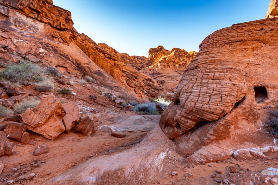
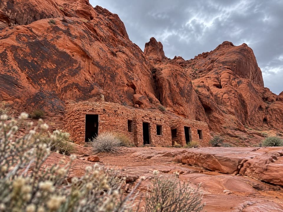
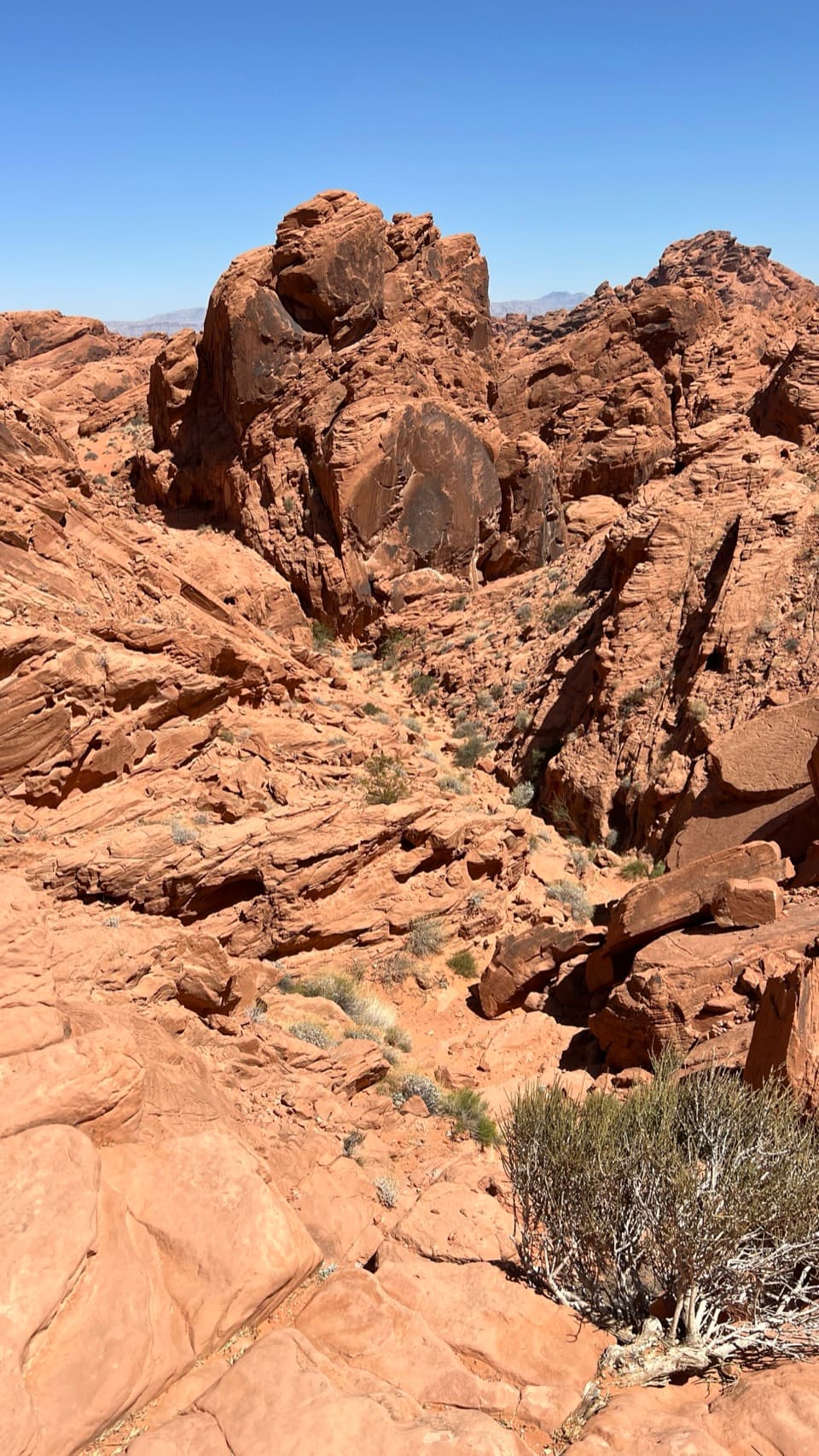
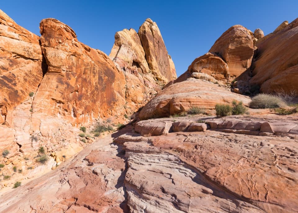
Look toward the cliffsThe distinctive extra here is the petroglyphs on the cliffs behind the picnic area.

The distinctive extra here is the petroglyphs on the cliffs behind the picnic area. They’re near the roadside stop, not only farther up the canyon trail, and are visible from the road. The figures are carved into dark desert varnish on sandstone.

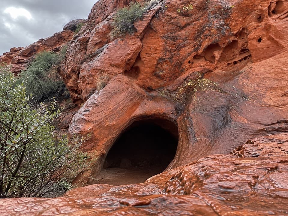
The basin is a separate stopMouse’s Tank is the sandstone basin at the end of a separate half-mile round-trip trail from…

Mouse’s Tank is the sandstone basin at the end of a separate half-mile round-trip trail from the trailhead across the road. You can stop for the picnic area and nearby rock art without taking that walk. If the basin is your goal, use the signed trailhead parking rather than expecting the picnic area itself to be the basin.

Wildlife

Wildlife in Valley of Fire

All Valley of Fire wildlife maps

Sighting maps show where each species has been reported across Valley of Fire. Wildlife moves, so no sighting is guaranteed.

Keep exploring

Near Mouse’s Tank Picnic Area

See it all on the map

Trails nearby

More stops nearby

Parkwolf’s Valley of Fire ranking

Top sights in Valley of Fire

All 28 places
  1. 1Fire WaveSight
  2. 2Elephant RockSight
  3. 3Atlatl RockSight
  4. 4Fire Canyon / Silica Dome OverlookSight
  5. 5White DomesSight
  6. 6Pastel CanyonSight

Take Parkwolf to Valley of Fire.

The audio tour guide for the drive, plus offline maps, trails, and wildlife heatmaps for when the signal drops.

4.7 from 8,600+ ratings

Download Parkwolf on the App StoreGet Parkwolf on Google Play