Parking
Use the Fire Canyon Road access near Silica Dome, approximately 36.45596, -114.50247. The nearby mapped parking is not a signed trailhead, and current parking and route access should be confirmed with the park.
Valley of Fire State Park, NV
A longer Silica Dome circuit where a downloaded track earns its keep.
Overview
Map & elevation
Plan your hike

The highest, rockiest slopes around here are a summer buffet for grizzly bears.
Valley of Fire Tour Guide
Parkwolf is a GPS audio tour guide for Valley of Fire State Park. As you drive, it chimes in with what’s ahead: hidden gems, upcoming stops, history, geology, and wildlife, right through your car’s speakers.
Recorded for this area
Fire Canyon and Silica Dome: The Road-End View“You're coming up on Fire Canyon and Silica Dome Overlook, where pale sandstone stands out against red and pink ridges. I'd keep this stop for a broad canyon view with very little walking.”
Plays on the road 0.1 mi from the trailhead in the Parkwolf Valley of Fire Tour Guide.
More stories near here in the app
“Fantastic app with many points of information… It’s great to just turn on while you’re driving and it gives you an audio tour of the national Park. We love it!!!!”


Trail guide
Fire Canyon Loop is a 5.7-mile lollipop circuit from Fire Canyon Road into the open sandstone country near Silica Dome. The mapped line follows a shared approach for about 0.7 mile, circles the ridges, then returns to the junction before retracing that access. Allow about 3–4 hours; route-finding and loose footing can make this feel longer than its mileage.
Treat it as a route-finding hike, not a signed park trail. The named circuit is mapped and independently described, but it is not on the park’s designated-trail list, and official access or seasonal-closure status for this exact route is unclear. Check with park staff before setting out.
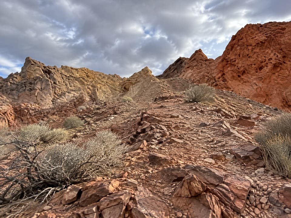
Tread can fade across open rock and sand, and the route is lightly marked. Carry the complete route on your device and check it through the loop rather than relying on a single cairn or faint track. The short Fire Canyon viewpoint walk from Rainbow Vista is a different outing, not this loop’s approach.
Expect rough, loose desert ground with little shade. The full circuit climbs roughly 550 feet and ranges from about 1,680 to 2,175 feet in elevation. The distance is moderate, but following indistinct sections adds effort. There is no confirmed water or restroom stop on the route; carry what you need and avoid the hottest part of the day.
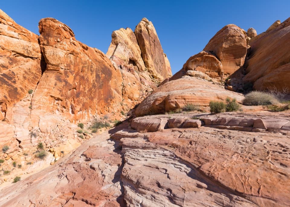
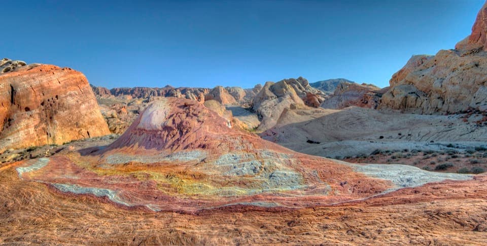
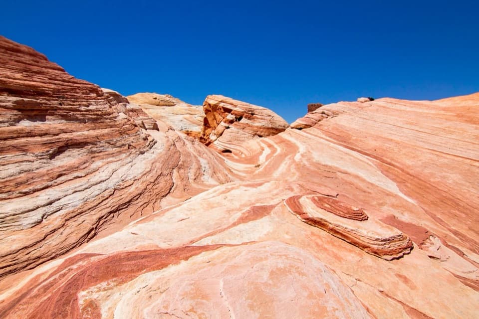
The loop crosses a varied red-and-tan sandstone landscape with pale rock near Silica Dome. The park’s vivid Aztec sandstone formed from ancient desert dunes roughly 150 million years ago. The color contrast is the route’s strongest visual payoff; keep some nearby rock or scrub in the frame to show the scale of the ridges.
The mapped start is the Fire Canyon Road access near Silica Dome, at approximately 36.45596, -114.50247. It is not a signed trailhead, and parking and route access should be confirmed with the park. Dogs are allowed on leash no longer than 6 feet under the park’s pet rule, but that rule does not resolve the route’s uncertain access status.
For a brief look into Fire Canyon, use the short overlook walk from Rainbow Vista. It is a separate route and does not cover the longer loop described here.
Wildlife
 638 sightingsBighorn SheepMost seen around 6 PMSighting map
 11 sightingsMojave Desert TortoiseMost seen around 8 AMSighting map
 23 sightingsSidewinderMost seen around 7 PMSighting map
 18 sightingsBlack-tailed JackrabbitMost seen around 6 AMSighting map
 11 sightingsRingtailMost seen around 8 PMSighting map
 19 sightingsRed-tailed HawkMost seen around 10 AMSighting map
Sighting maps show where each species has been reported across Valley of Fire. Wildlife moves, so no sighting is guaranteed.
Keep exploring
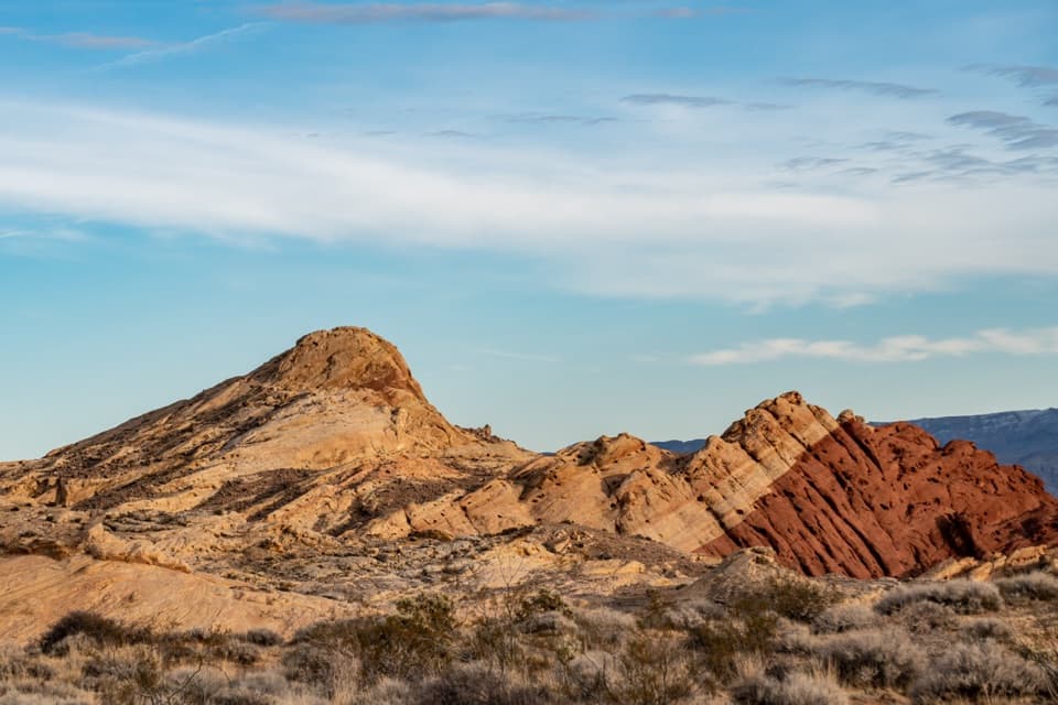 ModerateSilica Dome Trail1.2 mi · 1 hr · At the trailheadA short scramble climbs to a wide view over Fire Canyon.
 EasyRainbow Vista Trail1 mi · 45 min · 0.8 mi awayA sandy canyon walk to a rugged overlook above Fire Canyon
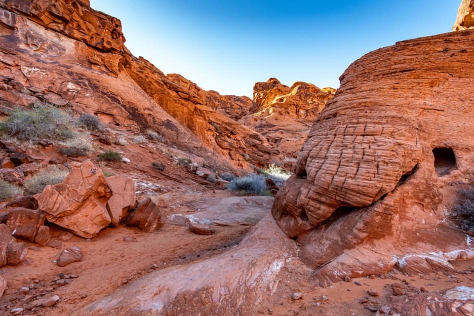 EasyMouse’s Tank Trail0.7 mi · 36 min · 1.3 mi awayLook up as you walk: petroglyphs mark a sandy red-rock canyon.
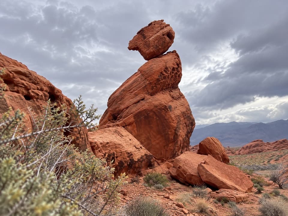 EasyBalancing Rock Trail0.3 mi · 15 min · 1.9 mi awayA short walk to a sandstone stack with an eyelet.
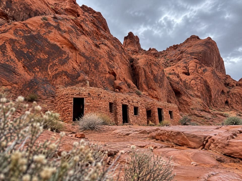 EasyThe Cabin Trail0.6 mi · 30 min · 2.1 mi awayWalk to 1930s CCC cabins, then pause at the shaded picnic area.
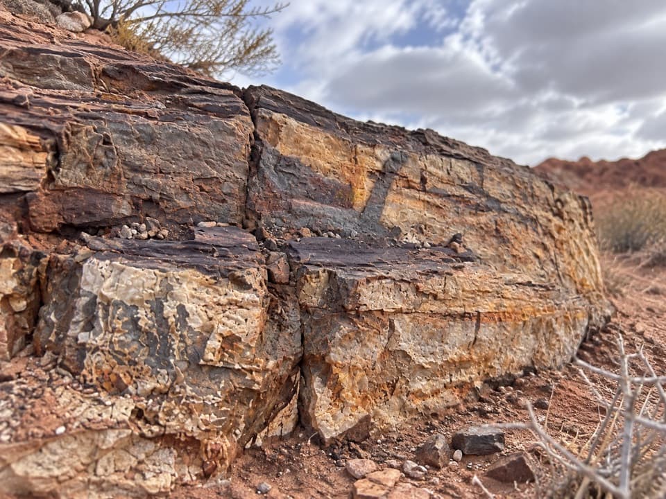 EasyEastern Petrified Log Trail0.1 mi · 15 min · 2.5 mi awayA quick, easy walk to a protected petrified log
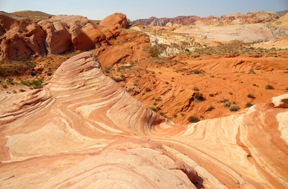 EasyFire Wave Trail1.4 mi · 1.3 hr · 2.7 mi awayA sandy out-and-back to a wave of pink and cream sandstone.
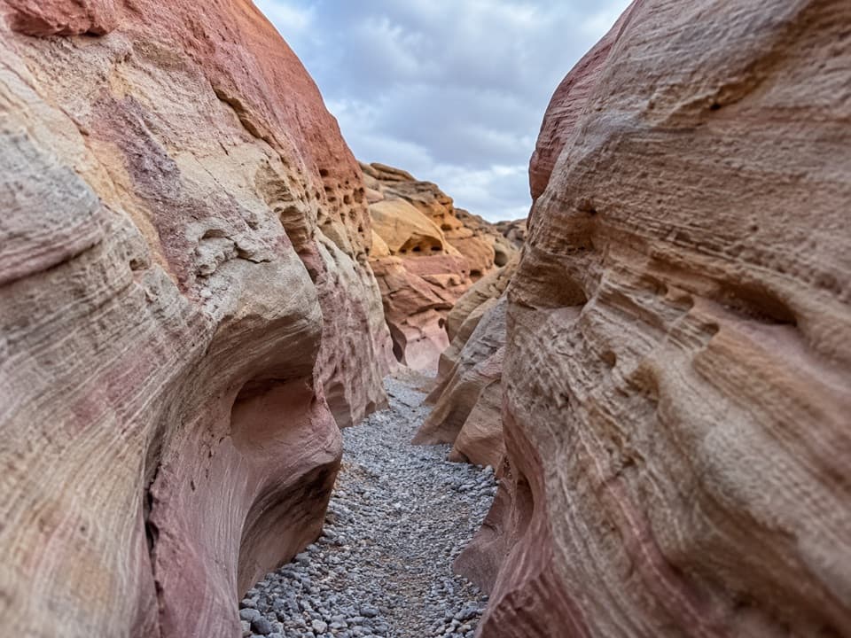 ModeratePink/Pastel Canyon Trail1.6 mi · 1.5 hr · 2.7 mi awayFollow pink-banded sandstone into a narrow desert wash.Sight · 0.1 mi awayFire Canyon / Silica Dome OverlookA roadside stop for the pale dome and fiery canyon bands.
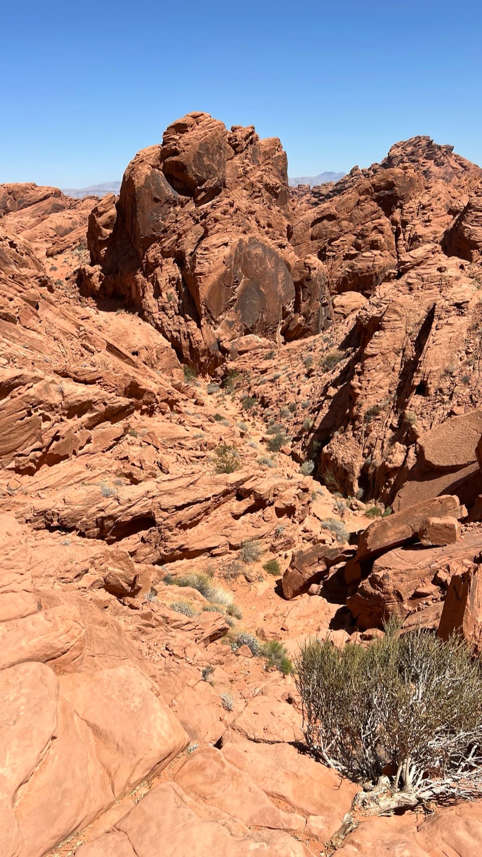 Sight · 0.7 mi awayFire Canyon OverlookA short, sandy hike ends above a rugged red-rock canyon.
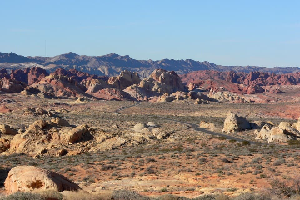 Sight · 0.8 mi awayRainbow VistaA ridge-top panorama over miles of multicolored sandstone.
 Picnic area · 1.3 mi awayMouse’s Tank Picnic AreaA shaded lunch stop with petroglyphs just behind it.
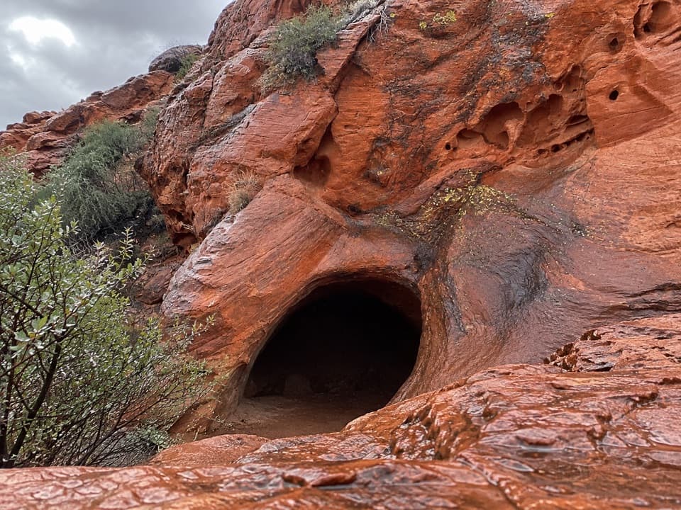 Sight · 1.4 mi awayMouse's TankA short canyon walk where petroglyphs lead to a rain-fed basin.
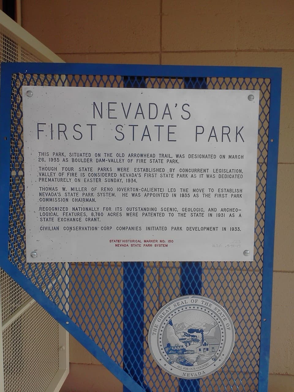 Historic marker · 1.9 mi awayNevada’s First State Park Historical MarkerA quick marker stop for the park’s early history and Arrowhead Trail.
 Sight · 2 mi awayBalancing RockAn odd little sandstone perch on a very short walk.
 Picnic area · 2.1 mi awaySeven SistersA shaded roadside picnic area beneath seven red sandstone towers.
Parkwolf’s Valley of Fire ranking

The audio tour guide for the drive, plus offline maps, trails, and wildlife heatmaps for when the signal drops.