Parking
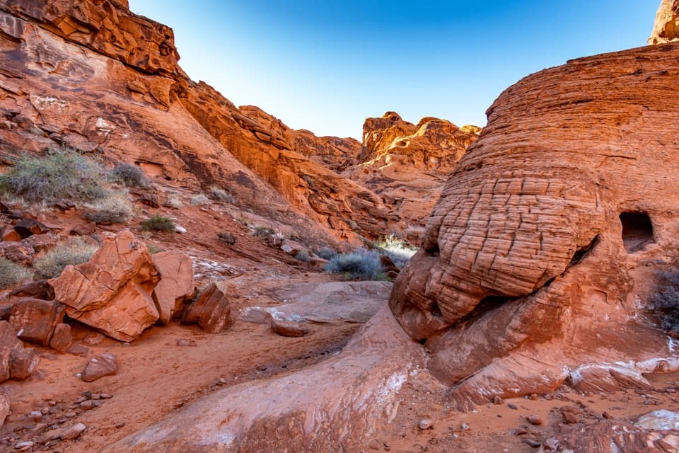
Use the designated Fire Wave Parking Lot (P3) off White Domes Road; park only in designated areas.
Valley of Fire State Park, NV
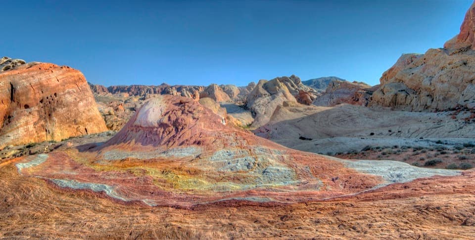
A short detour to a small hill painted in pastel bands.
Overview
Map & elevation
Plan your hike

The highest, rockiest slopes around here are a summer buffet for grizzly bears.
Valley of Fire Tour Guide
Parkwolf is a GPS audio tour guide for Valley of Fire State Park. As you drive, it chimes in with what’s ahead: hidden gems, upcoming stops, history, geology, and wildlife, right through your car’s speakers.
Recorded for this area
Fire Wave: Walk to the Stripes“You're approaching the Fire Wave parking area, the start of the walk to its pink-and-cream striped sandstone. Allow an hour or two for the one point four-mile round trip over loose sand and uneven rock.”
Plays near this trailhead in the Parkwolf Valley of Fire Tour Guide.
More stories near here in the app
“Fantastic app with many points of information… It’s great to just turn on while you’re driving and it gives you an audio tour of the national Park. We love it!!!!”


Trail guide
Crazy Hill is a low, pastel-striped sandstone knoll beside the Seven Wonders corridor. From the designated Fire Wave lot, follow the mapped footpath to the point nearest the hill and return the same way: about half a mile round trip, roughly half an hour. This is the short Crazy Hill outing, not the full Fire Wave/Seven Wonders loop. From P3, use the western Seven Wonders path toward Crazy Hill; the mapped approach is about 0.27 mile each way. The roadside Pink Canyon crossing farther south is not P3 and is not a parking start for this outing.
The way is unmarked. The mapped Seven Wonders footpath comes within about 60 feet of the Crazy Hill pin, but the last approach to the rock is not signed as a separate trail. Keep the hill in view and use an offline map to avoid turning this short outing into a longer wander. Expect loose sand, uneven wash and rocky footing; there is no constructed path all the way onto the knoll.
The small rise is banded with white, yellow, orange, pink and violet layers. Valley of Fire’s Jurassic Aztec sandstone began as windblown sand, and Crazy Hill is a particularly vivid place to see those colored layers together. For a photo, frame the curved pale bands across the foreground with the low pink knoll behind them.
There is little shade in this open desert setting. Bring water and sun protection even for a short walk, and take care around rough rock and brush. The Fire Wave/Seven Wonders corridor closes for summer heat May 15 through September 30; the park also closes its trails and access December 1 through 14 for annual maintenance. Check access before planning the hike.
Start at the designated Fire Wave Parking Lot (P3) on White Domes Road and park only in designated areas. Restrooms and shaded picnic areas are at White Domes, a separate stop up the road; no food or water source is listed on this route. Dogs may come on a leash no longer than six feet.
Wildlife
 638 sightingsBighorn SheepMost seen around 6 PMSighting map
 11 sightingsMojave Desert TortoiseMost seen around 8 AMSighting map
 23 sightingsSidewinderMost seen around 7 PMSighting map
 18 sightingsBlack-tailed JackrabbitMost seen around 6 AMSighting map
 11 sightingsRingtailMost seen around 8 PMSighting map
 19 sightingsRed-tailed HawkMost seen around 10 AMSighting map
Sighting maps show where each species has been reported across Valley of Fire. Wildlife moves, so no sighting is guaranteed.
Keep exploring
ModerateFire Wave/7 Wonders Loop Trail1.8 mi · 2 hr · At the trailheadA short loop through striped rock and pastel washes, with tricky turns.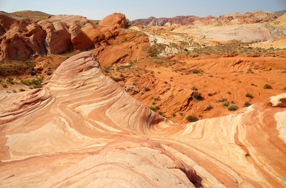 EasyFire Wave Trail1.4 mi · 1.3 hr · At the trailheadA sandy out-and-back to a wave of pink and cream sandstone.
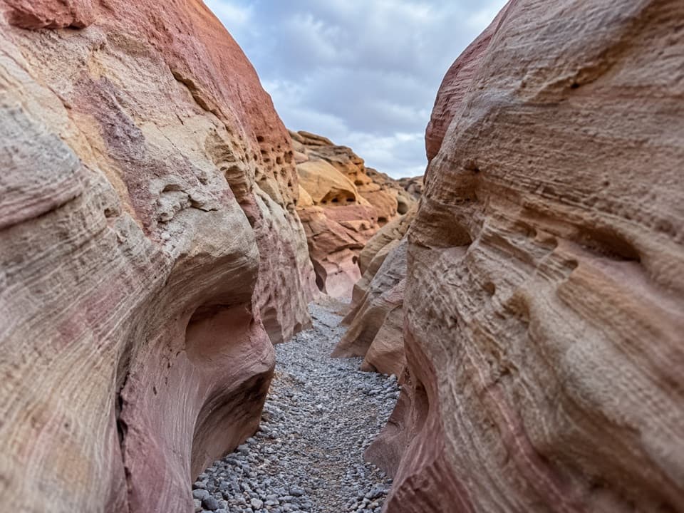 ModeratePink/Pastel Canyon Trail1.6 mi · 1.5 hr · At the trailheadFollow pink-banded sandstone into a narrow desert wash.
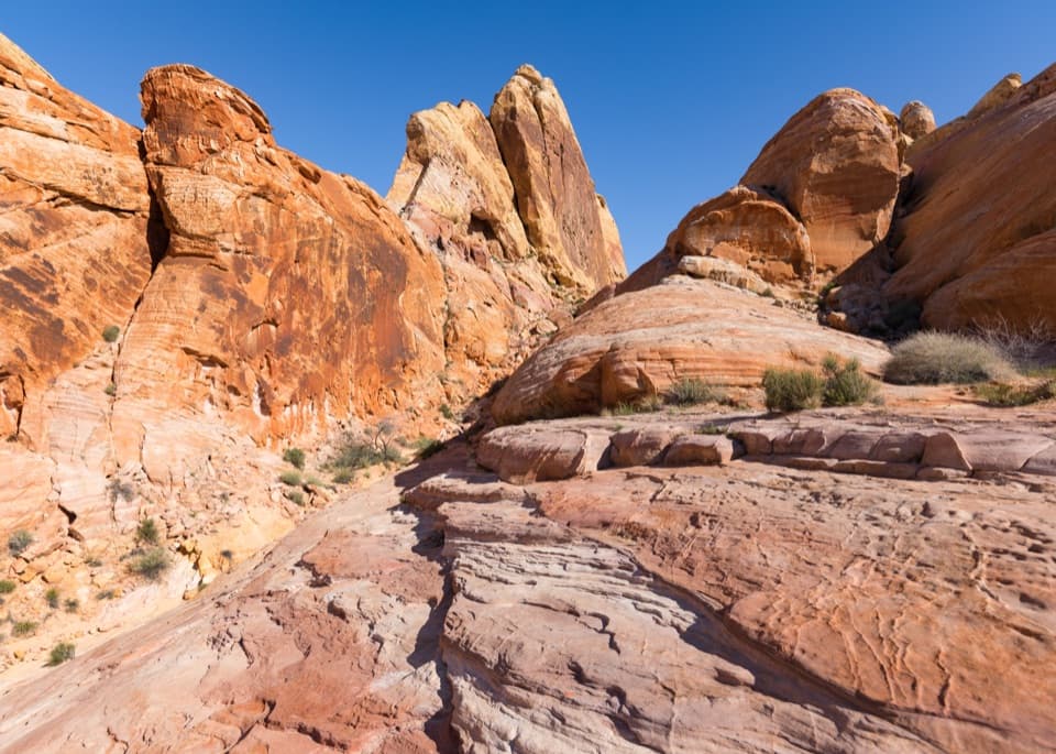 ModerateWhite Domes Loop1.1 mi · 45 min · 0.3 mi awayA short loop with a sandstone slot and movie-set remains.
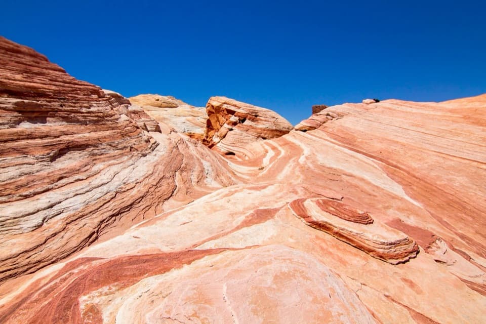 ModerateFire Wave, White Domes and Seven Wonders Loop3.8 mi · 2.5 hr · 0.3 mi awayA slot canyon, Fire Wave and painted sandstone in one loop.
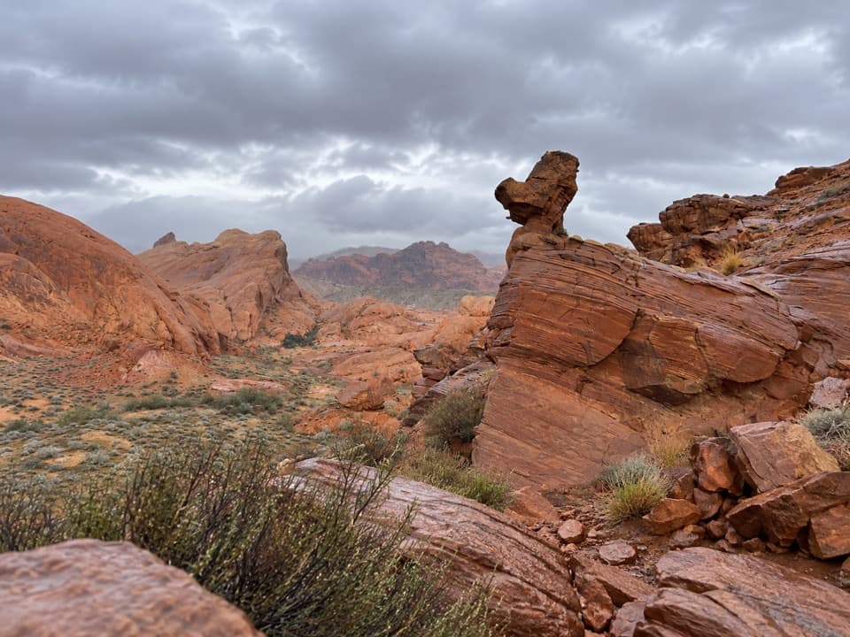 ModerateDuck Rock Viewpoint1.4 mi · 45 min · 0.4 mi awayA short, rugged detour to a duck-shaped sandstone profile.
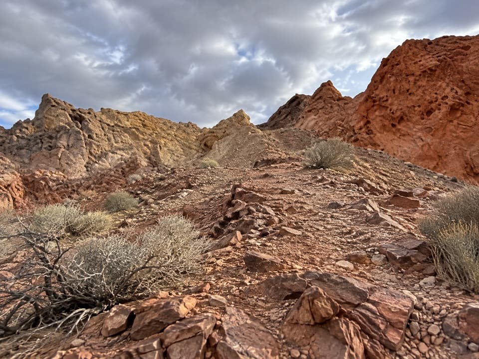 ModerateFire Canyon Loop Trail5.7 mi · 3.5 hr · 2.7 mi awayA longer Silica Dome circuit where a downloaded track earns its keep.
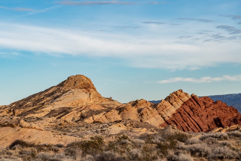 ModerateSilica Dome Trail1.2 mi · 1 hr · 2.7 mi awayA short scramble climbs to a wide view over Fire Canyon.Sight · 0.3 mi awayWhite DomesShort loop, pale domes, a slot canyon and a film-set wall.
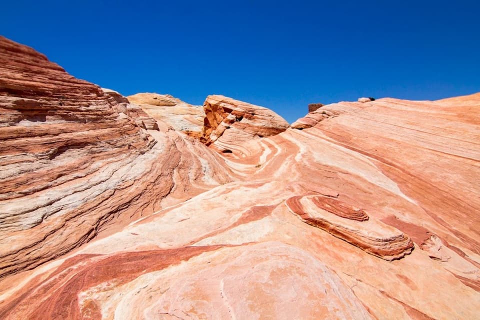 Sight · 0.5 mi awayFire WaveCurving stripes ripple across the sandstone like a low desert wave.
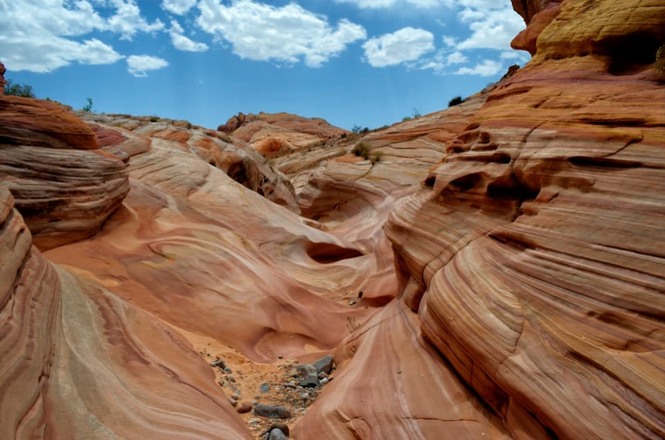 Sight · 0.6 mi awayPastel CanyonA short, shallow canyon of pastel bands on the Seven Wonders route.Sight · 2.7 mi awayFire Canyon / Silica Dome OverlookA roadside stop for the pale dome and fiery canyon bands.
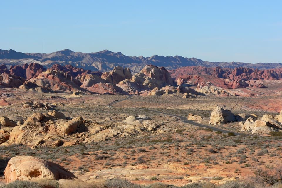 Sight · 2.7 mi awayRainbow VistaA ridge-top panorama over miles of multicolored sandstone.
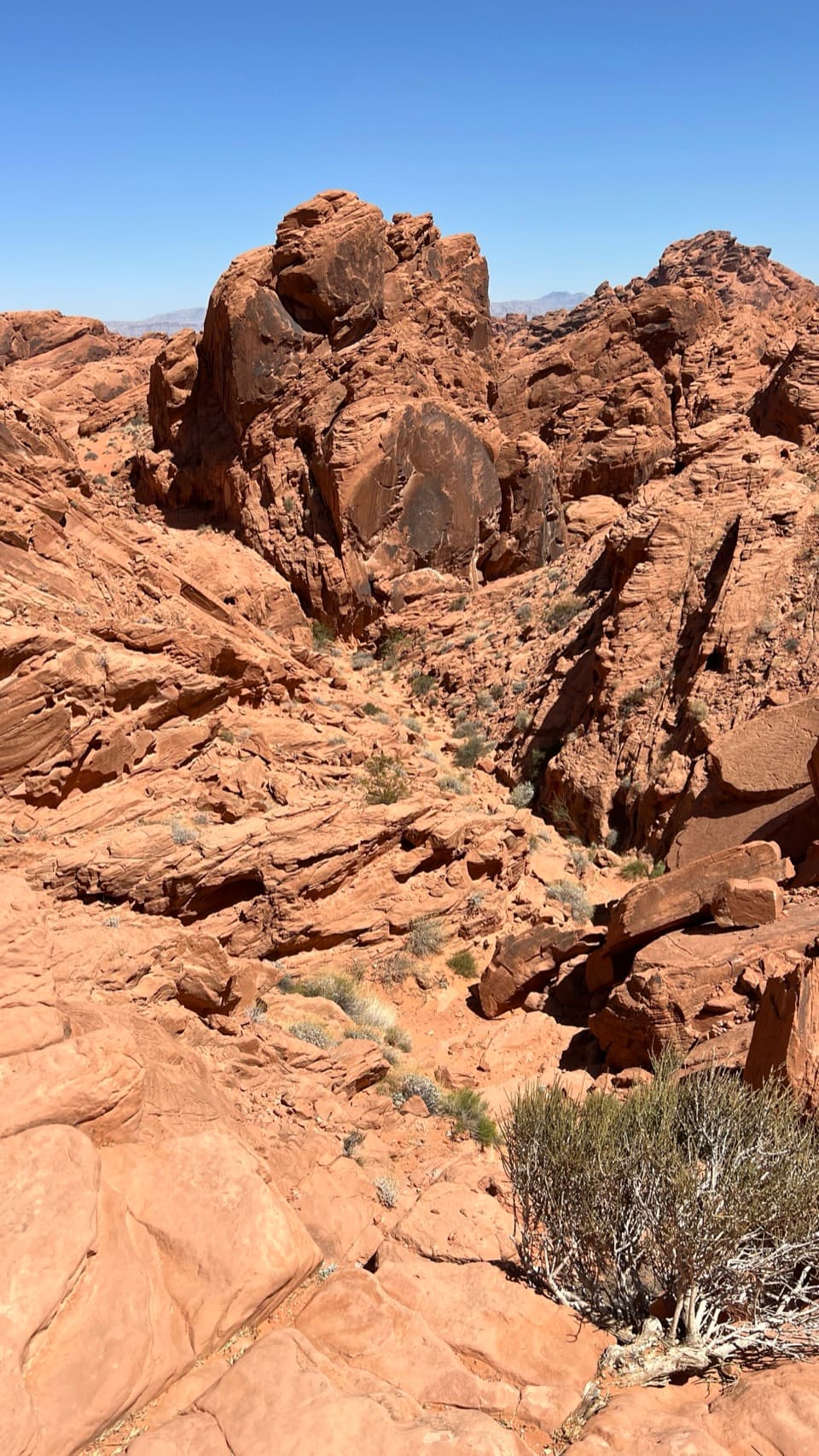 Sight · 3.1 mi awayFire Canyon OverlookA short, sandy hike ends above a rugged red-rock canyon.
 Picnic area · 3.3 mi awayMouse’s Tank Picnic AreaA shaded lunch stop with petroglyphs just behind it.
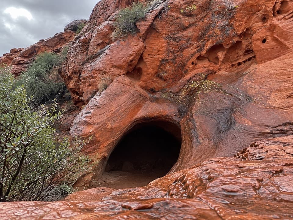 Sight · 3.6 mi awayMouse's TankA short canyon walk where petroglyphs lead to a rain-fed basin.
Parkwolf’s Valley of Fire ranking

The audio tour guide for the drive, plus offline maps, trails, and wildlife heatmaps for when the signal drops.