Overview
About Heinaberg Farm Ruins
Why stop
- An easy walk to a named old farmstead
Heads up
- The gravel access road is rough for ordinary cars
Map
Where it is

The highest, rockiest slopes around here are a summer buffet for grizzly bears.
Vatnajökull Tour Guide
Your drive to Heinaberg Farm Ruins, narrated.
Parkwolf is a GPS audio tour guide for Vatnajökull National Park. As you drive, it chimes in with what’s ahead: hidden gems, upcoming stops, history, geology, and wildlife, right through your car’s speakers.
Recorded for this place
Heinaberg: The Farm Walk“You're nearing the Heinaberg farm area, where the easy E3 walk follows sheep tracks to old farm and outbuilding ruins. Choose this for a modest heritage stop among ponds, rather than another glacier viewpoint.”
Plays as you drive up to Heinaberg Farm Ruins in the Parkwolf Vatnajökull Tour Guide.
More stories near here in the app
- Heinabergslón: Ice and Changing Rivers
- A Char’s Gravel Nursery
- The Living Crust on a Rock
- A Fish Feels the Water Move
- 298 audio storiesacross Vatnajökull’s roads, triggered by GPS as you drive
- Wildlife heatmapsfor Grey Seal, Harbor Seal, Caribou, and 13 more
- Works offlinemaps, 92 trails, 75 places, and audio download before you lose signal
- CarPlay readysimple controls built for the drive
“Fantastic app with many points of information… It’s great to just turn on while you’re driving and it gives you an audio tour of the national Park. We love it!!!!”


Guide
More about Heinaberg Farm Ruins
A short walk to an old farmHeinaberg Farm Ruins are the remains of an old farmstead, reached on the park’s marked E3 route…
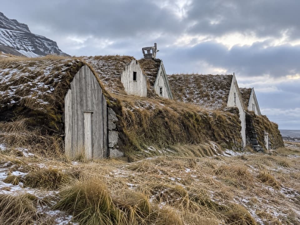
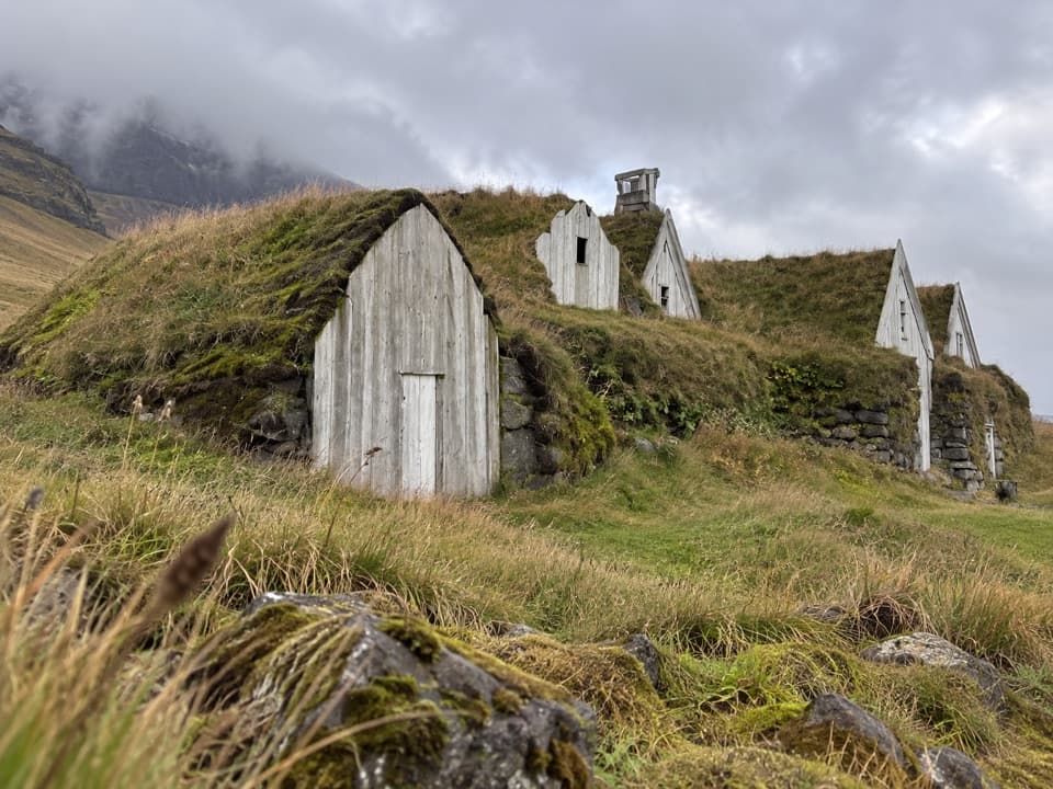
Heinaberg Farm Ruins are the remains of an old farmstead, reached on the park’s marked E3 route from Heinaberg car park south of Heinabergsfell. It’s a modest stop for anyone interested in old Icelandic farm sites; the walk is the main part of the visit. The route follows sheep tracks and is rated easy, with about 20 m of elevation gain.
Allow time for the longer route listingThe park’s route information doesn’t agree on the walk’s length. The dedicated E3 page lists 0.
The park’s route information doesn’t agree on the walk’s length. The dedicated E3 page lists 0.9 km and 20 minutes; the area hiking index gives 1.8 km and one hour. Neither page explains the difference or says whether its distance includes the return, so allow up to an hour rather than planning around the shorter figure. The access road from Route 1 is 8 km of gravel, and the park recommends four-wheel drive because ordinary city cars may struggle with it.
In a flood-shaped landscapeThe wider Heinaberg area has changed with the glaciers.
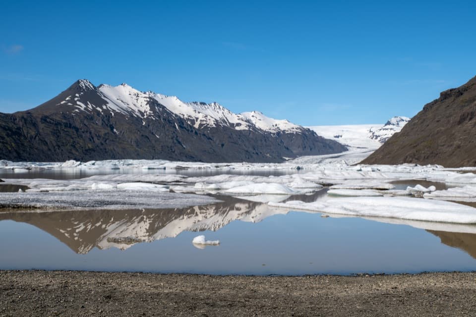
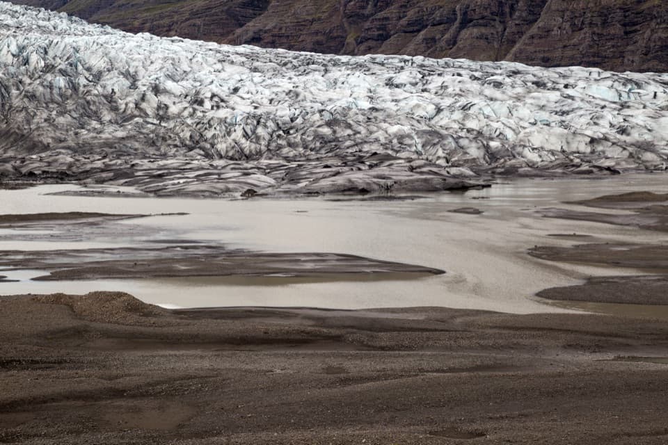
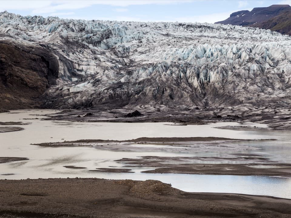
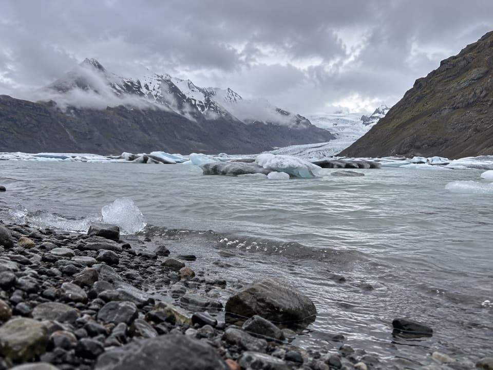
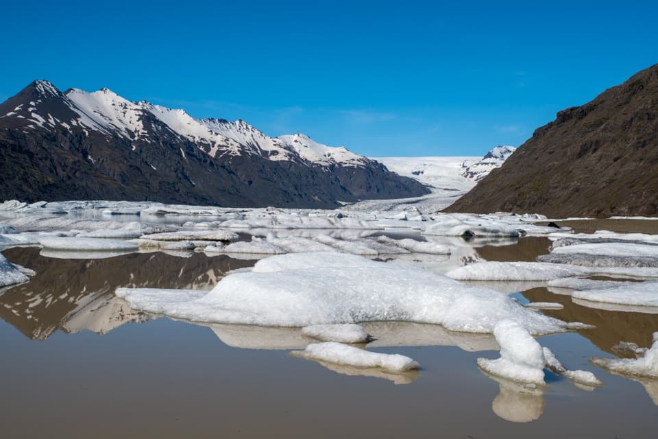
The wider Heinaberg area has changed with the glaciers. Heinabergsjökull reached its largest extent around 1887 and dammed a lagoon; in 1898, a destructive glacial flood swept through Vatnsdalur and several farms in the valley were later deserted. The park doesn’t identify this particular farm as one of them, so treat that as regional context rather than the story of these ruins.
Wildlife
Wildlife in Vatnajökull
 23 sightingsGrey SealMost seen around 5 AMSighting map
 260 sightingsHarbor SealMost seen around 11 AMSighting map
 184 sightingsCaribouMost seen around 7 PMSighting map
 62 sightingsArctic FoxMost seen around 8 PMSighting map
 169 sightingsWhooper SwanMost seen around 5 PMSighting map
 68 sightingsAtlantic PuffinMost seen around 7 PMSighting map
Sighting maps show where each species has been reported across Vatnajökull. Wildlife moves, so no sighting is guaranteed.