Heinaberg Circle in Vatnajökull National Park

Vatnajökull National Park

Heinaberg Circle

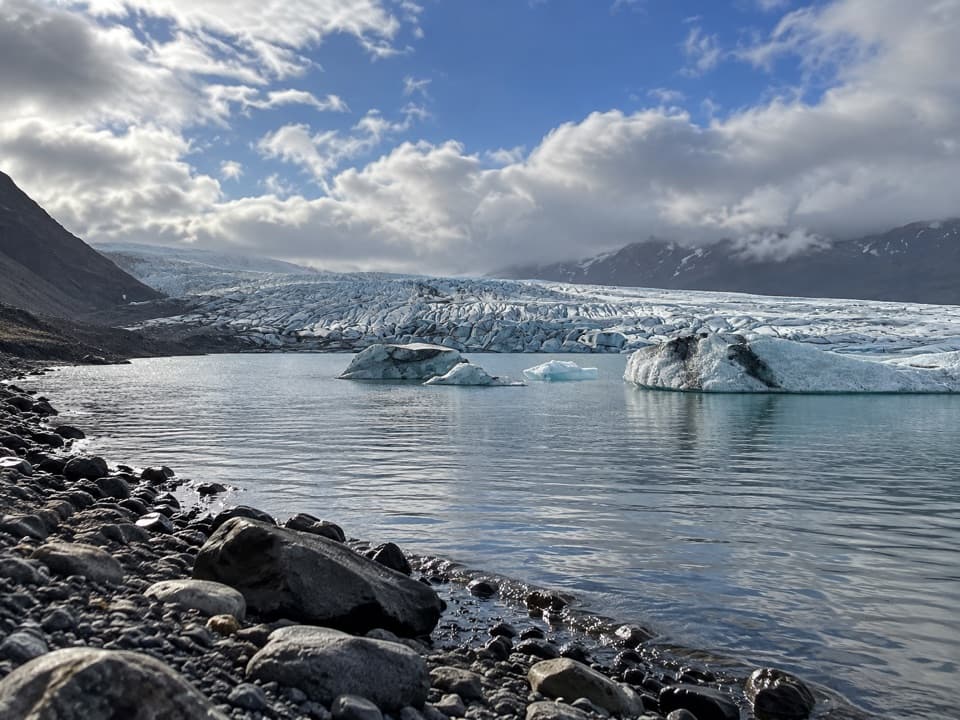
Basalt columns, glacier views, and old channels on a 6 km loop.

Photo: Hansueli Krapf, CC BY-SA 4.0, via Wikimedia Commons

Length
6km
Time
3.5hr
Elev. change
59m
Difficulty
Challenging
  • Loop
  • High point 128 m

Hear the audio tour

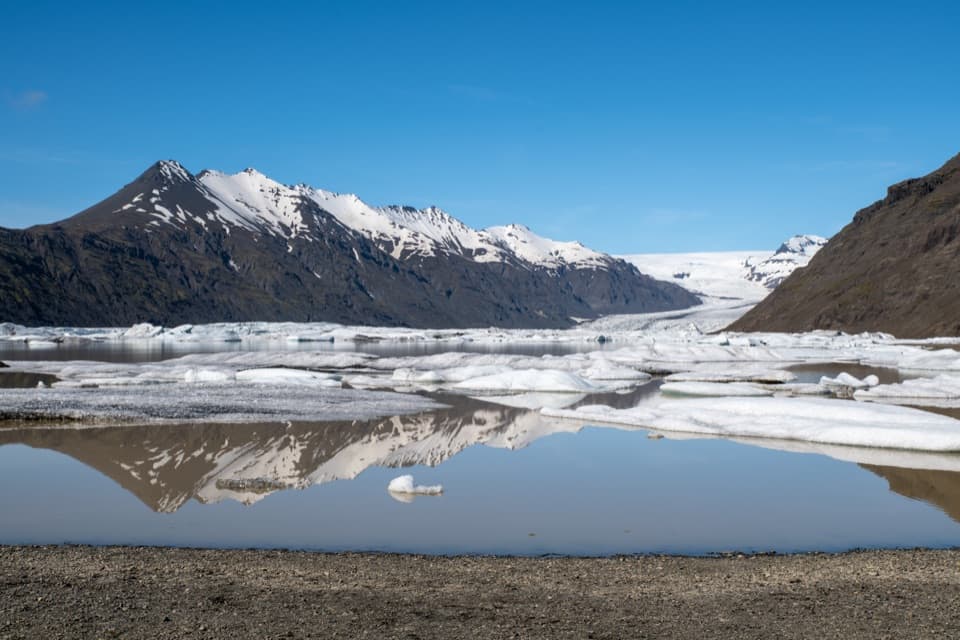
Heinabergslón: Ice and Changing Rivers

Overview

About Heinaberg Circle

Why go

  • Waterfall, glacier scenery and basalt columns in one loop
  • Only about 145 m of ascent across 6 km

Heads up

  • The final waterfall approach leaves the marked trail for loose scree
  • The gravel access road can be difficult for passenger cars

Map & elevation

The route

Loading the Vatnajökull map
Full map
Elevation69–128 m
TrailheadHeinabergslón parking area64.29780, -15.65062
Keep this map with you offline in the Parkwolf app

Plan your hike

Before you go

Parking

Start at the Heinabergslón parking area. From Route 1, follow the roughly 8 km gravel Heinaberg road; at the junction a little over 5 km in, take the left branch for the lagoon. The park recommends four-wheel drive because the road can be difficult for passenger cars.

Safety

The short final approach to Bólstaðafoss leaves the marked route over loose scree. The park rates the full circuit as challenging. A trail-specific dog rule could not be confirmed; check with the park before bringing a pet.

A park ranger sits on a dash-mounted phone, talking, as Parkwolf’s Tour Guide plays “Army Cutworm Moths: A Grizzly Bear Buffet” on Grand Loop Road below Dunraven Pass in Yellowstone
Parkwolf Tour GuideThe highest, rockiest slopes around here are a summer buffet for grizzly bears.

Vatnajökull Tour Guide

Your drive to Heinaberg Circle, narrated.

Parkwolf is a GPS audio tour guide for Vatnajökull National Park. As you drive, it chimes in with what’s ahead: hidden gems, upcoming stops, history, geology, and wildlife, right through your car’s speakers.

Recorded for this trailhead

Heinabergslón: Ice and Changing Rivers
0:00 / 0:34
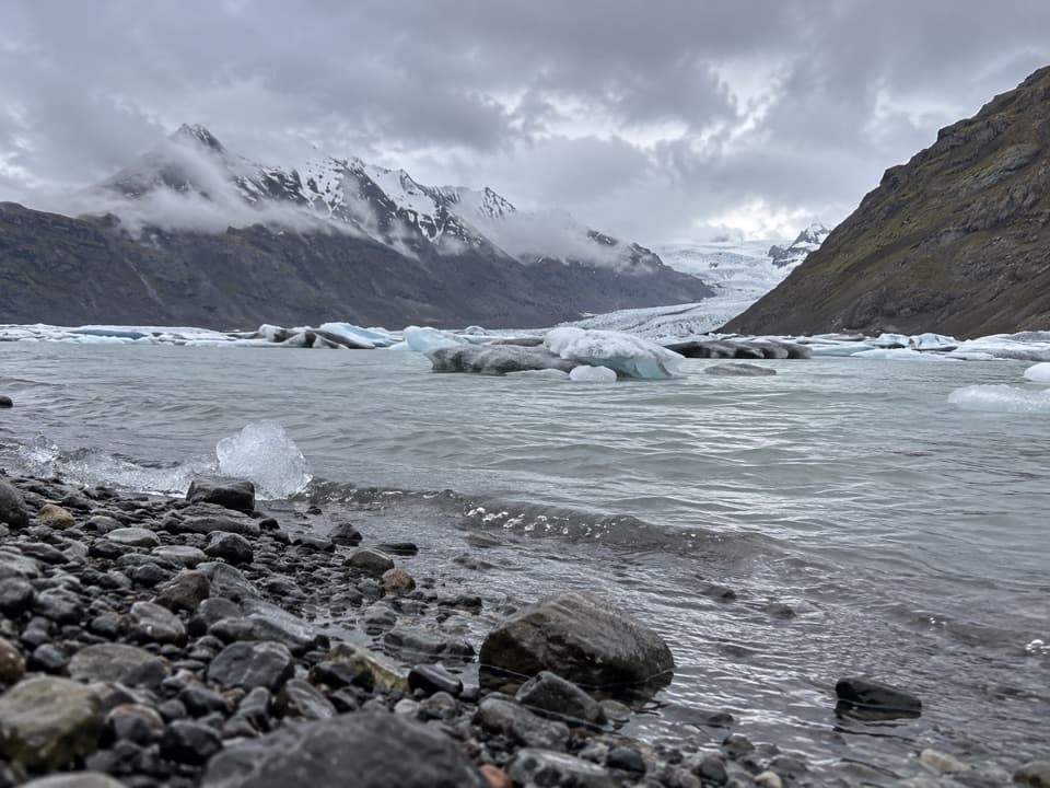
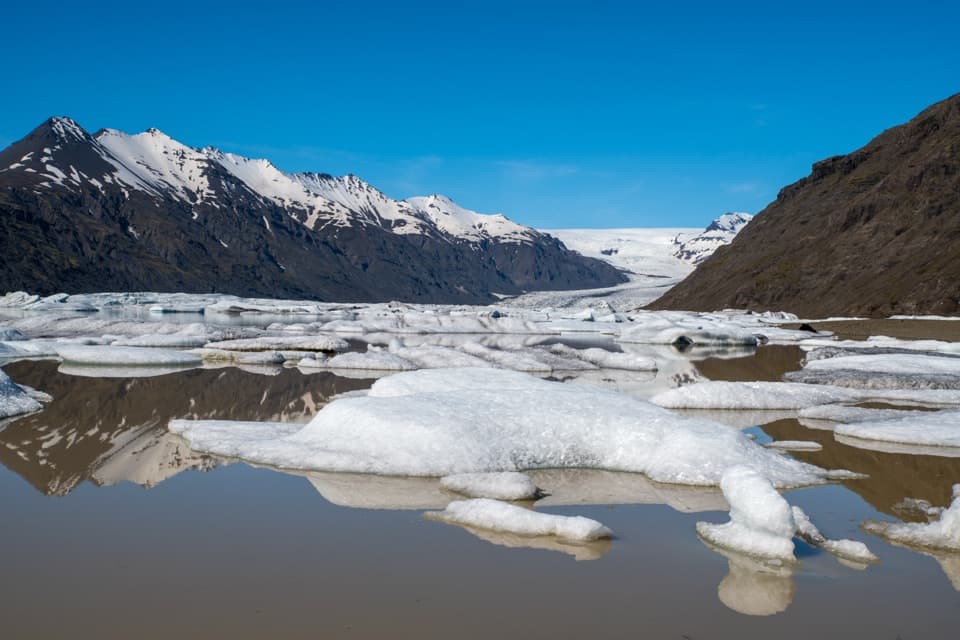
“Heinabergslón is coming up, with floating ice below Heinabergsjökull glacier. For a short visit, enjoy the shore and take the interpretive path from the car park; the longer valley hikes are separate, demanding outings.”

Plays as you drive up to this trailhead in the Parkwolf Vatnajökull Tour Guide.

More stories near here in the app

  • Heinaberg: The Farm Walk
  • A Char’s Gravel Nursery
  • A Fish Feels the Water Move
  • A Spring Outfit from Worn Feathers
  • 298 audio storiesacross Vatnajökull’s roads, triggered by GPS as you drive
  • Wildlife heatmapsfor Grey Seal, Harbor Seal, Caribou, and 13 more
  • Works offlinemaps, 92 trails, 75 places, and audio download before you lose signal
  • CarPlay readysimple controls built for the drive
★★★★★
“Fantastic app with many points of information… It’s great to just turn on while you’re driving and it gives you an audio tour of the national Park. We love it!!!!”
JMJamesApp Store review
Download Parkwolf on the App StoreGet Parkwolf on Google Play

4.7 from 8,600+ ratings

Trail guide

Hiking Heinaberg Circle

The 6 km circuitHeinaberg Circle, the park’s E1, is a 6 km loop from the Heinabergslón parking area.

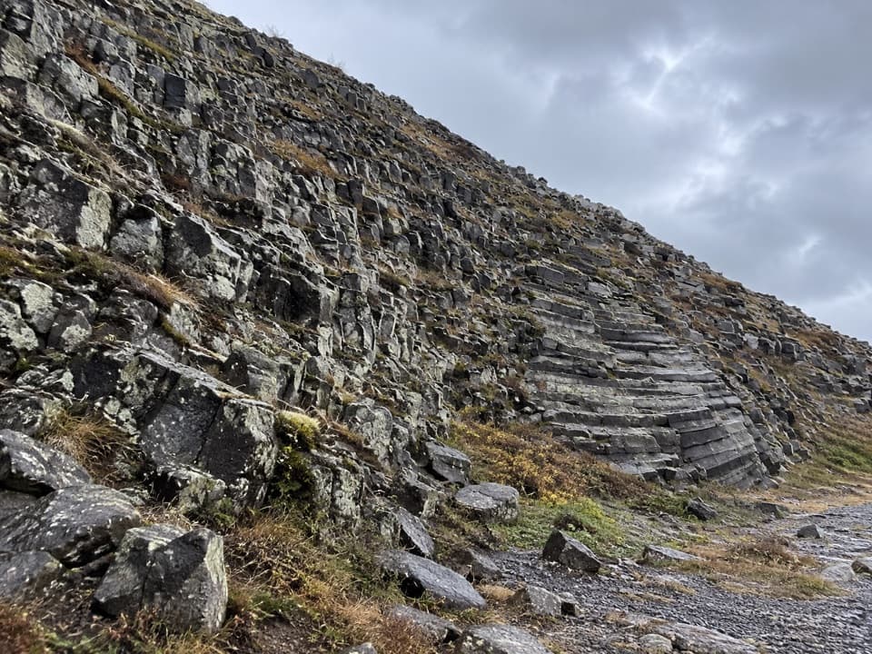
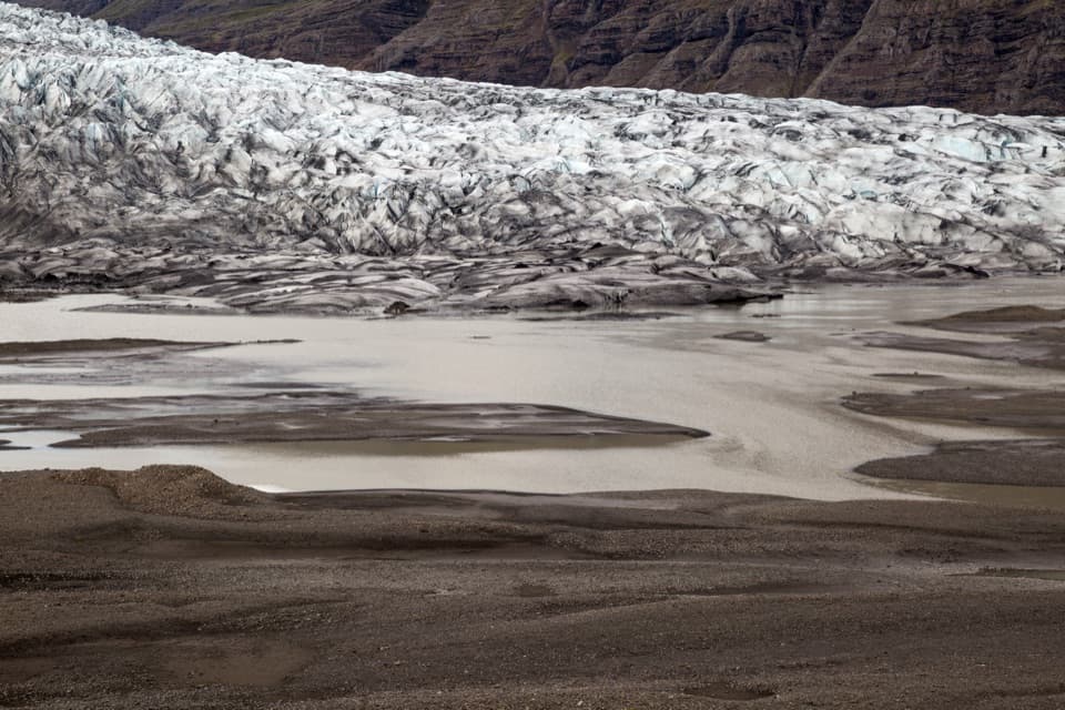
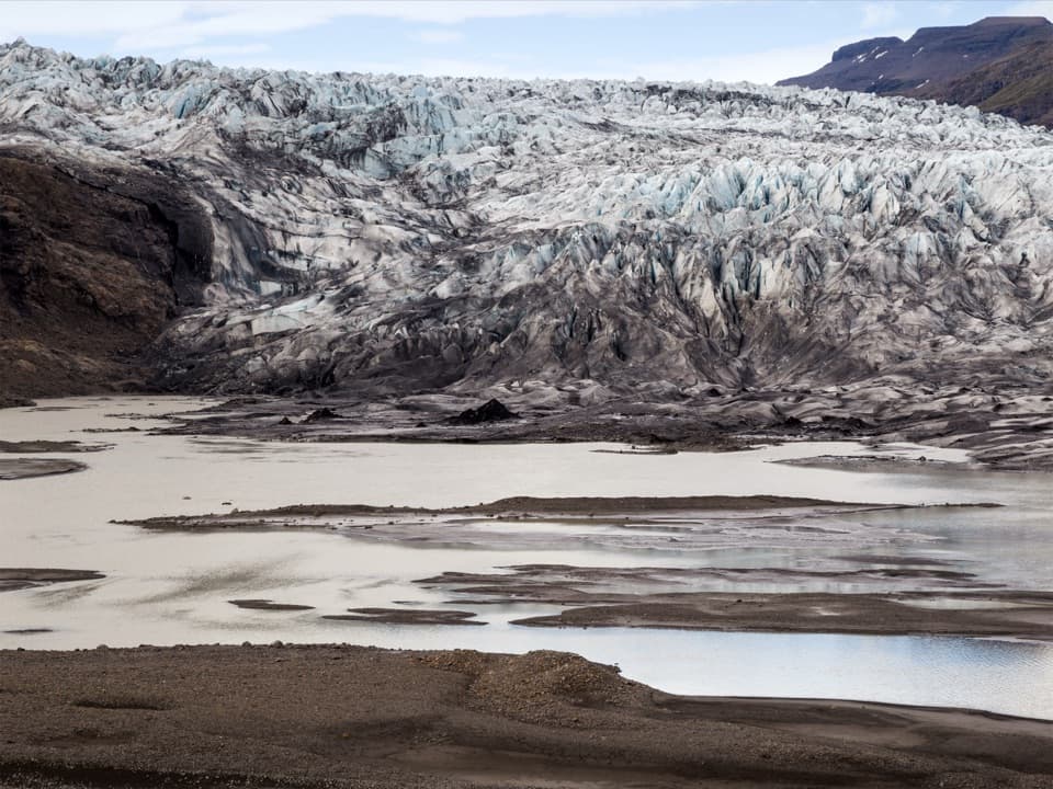
Heinaberg Circle, the park’s E1, is a 6 km loop from the Heinabergslón parking area. The clockwise route climbs east toward Sáta, follows the slopes past Bólstaðir to Bólstaðafoss, then heads south through the basalt columns at Heinar and returns through the old channels of Heinabergsvötn. The park calls it challenging and lists about 145 m of ascent; allow three to four hours. It is a half-day for a small set of very different landscapes, not a flat stroll around the lagoon.

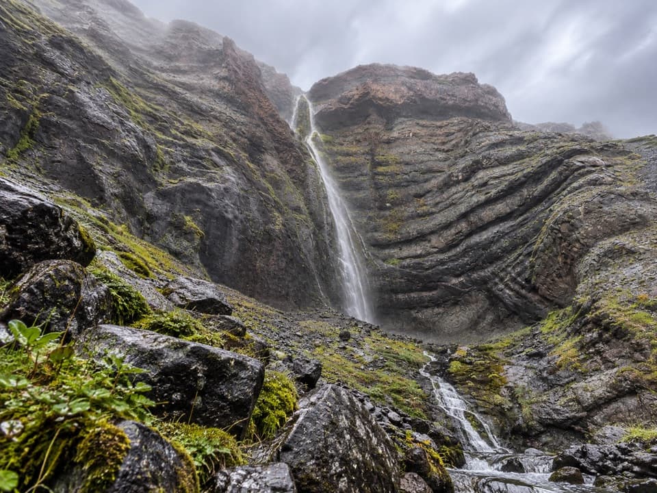
The waterfall approachThe final short approach to Bólstaðafoss leaves the marked route and crosses loose scree.

The final short approach to Bólstaðafoss leaves the marked route and crosses loose scree. That is the circuit’s trickiest footing; take it only if you are comfortable on shifting rock, and turn back if it feels unstable. The loop continues without needing to descend the scree to the falls.

Heinar and the returnAt Heinar, look for the basalt column formations named in the route description.

At Heinar, look for the basalt column formations named in the route description. The return follows former channels of Heinabergsvötn, a different landscape from the uphill section. Reindeer are often seen in the wider Heinaberg area from autumn into spring, especially in winter, though a sighting is never guaranteed on this particular loop.

Getting to the startThe trail starts at the Heinabergslón parking area.

The trail starts at the Heinabergslón parking area. From Route 1, the Heinaberg access road is about 8 km of gravel; after a little over 5 km, take the left branch for the lagoon. The park recommends four-wheel drive because the road can be difficult for passenger cars. A dry toilet at the lagoon is open year-round. No drinking-water service on the route was confirmed.

Wildlife

Wildlife in Vatnajökull

All Vatnajökull wildlife maps

Sighting maps show where each species has been reported across Vatnajökull. Wildlife moves, so no sighting is guaranteed.

Keep exploring

Near Heinaberg Circle

See it all on the map

Trails that start nearby

Places near the trailhead

Parkwolf’s Vatnajökull ranking

Top-rated trails in Vatnajökull

All 92 trails
  1. 1Svartifoss–Sjónarsker–Sel Loop (S2)Moderate · 5.8 km
  2. 2Dettifoss and Selfoss – West BankEasy · 2.5 km
  3. 3Svartifoss TrailModerate · 3 km
  4. 4Skaftafellsjökull Glacier TrailEasy · 4.1 km
  5. 5Múlagljúfur Canyon TrailModerate · 3.9 km
  6. 6Kristínartindar S4 Summit CircuitChallenging · 17.9 km

Take Parkwolf to Vatnajökull.

The audio tour guide for the drive, plus offline maps, trails, and wildlife heatmaps for when the signal drops.

4.7 from 8,600+ ratings

Download Parkwolf on the App StoreGet Parkwolf on Google Play