Parking
Start at Vesturdalur campground. This is one-way to Dettifoss, so arrange a pickup or a second vehicle at the destination before setting out.
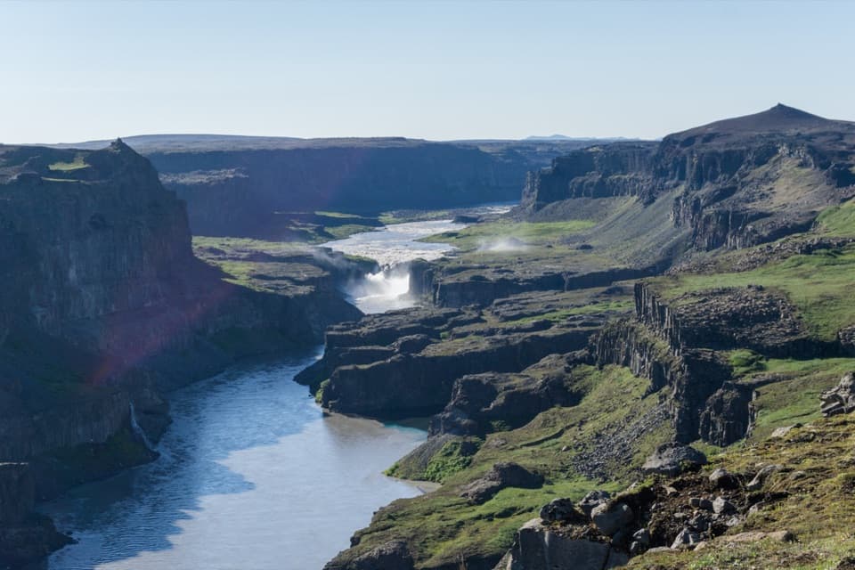
Vatnajökull National Park
A full-day canyon traverse with a rough descent into Hafragil.
Photo: Michal Klajban, CC BY-SA 4.0, via Wikimedia Commons
Overview
Map & elevation
Plan your hike

The highest, rockiest slopes around here are a summer buffet for grizzly bears.
Vatnajökull Tour Guide
Parkwolf is a GPS audio tour guide for Vatnajökull National Park. As you drive, it chimes in with what’s ahead: hidden gems, upcoming stops, history, geology, and wildlife, right through your car’s speakers.
Recorded for this trailhead
Vesturdalur: Camping and the Eyjan Loop“Vesturdalur Campground is coming up, a basic tent-only base for spending more time around the Echo Rocks.”
Plays as you drive up to this trailhead in the Parkwolf Vatnajökull Tour Guide.
More stories near here in the app
“Fantastic app with many points of information… It’s great to just turn on while you’re driving and it gives you an audio tour of the national Park. We love it!!!!”


Trail guide
This is the lower, one-way route from Vesturdalur to Dettifoss through the Hafragil lowland. The 2025 park map lists 18 km and 7–8 hours. The mapped alignment measures about 20.6 km; plan for the longer line if you follow it closely. The route passes Karl og Kerling, Kallbjarg, Hólmatungur and Þórunnarfjall before dropping toward Hafragil and Dettifoss. It is a long, demanding walk, not a short waterfall approach. Arrange a pickup or a second vehicle at the far end before setting out.
The Vesturdalur end begins in Hljóðaklettar, a row of basalt craters and formations. The name means “sounding rocks”; listen for the river as you pass dark columns, caves and honeycomb-weathered walls. The park dates the roughly six-kilometre crater row to eruptions about 8,000–9,000 years ago. Later glacial outburst floods stripped loose volcanic material from many craters, exposing the harder, solidified magma that gives the rocks their varied shapes. Keep to marked trails through Hljóðaklettar and Rauðhólar, where fragile vegetation is easily damaged.
The trail threads past Karl og Kerling and Kallbjarg before reaching Hólmatungur. Kallbjarg once had a pulley crossing used to move essentials across the river; it is a quiet reminder that this canyon was also a lived-in landscape. Hólmatungur is a useful pause between the open river and the rougher southern section. Clear spring-fed streams meet the muddy Jökulsá here. Nearby paths follow the Hólmá among small islets, angelica-lined banks and cascades at Hólmárfossar; these local wanders add time beyond the through-route.
South of Hólmatungur, the lower route heads toward Þórunnarfjall and the Hafragil lowland. This is the demanding stretch: the official map warns of steep trail, large boulders and falling-rock risk. The canyon floor and river change character as you approach Dettifoss, whose falls mark the finish. If you are carrying a heavy pack, the park advises taking the higher ravine route instead and exploring the lowland after leaving your load at Dettifoss campground. That is a different line from the lowland route described here.
Jökulsá á Fjöllum cut this canyon through repeated glacial outburst floods from Vatnajökull. The park’s account places the latest major flood around 2,000 years ago. You can read the scale in the route itself: basalt walls, narrow gorges and broad stretches of river gravel replace one another over the day. At Hólmatungur, the clear spring water beside the sediment-heavy river makes that contrast especially easy to see.
This is a point-to-point hike, so transport is part of the plan; the start and finish are far apart, and arrange a pickup or second vehicle rather than assuming return transport is included. Do not confuse it with the separate 9 km Hafragil lowland loop from the car park by the waterfall turnoff, or with the higher ravine alternative. The route is best for hikers ready for a full day on a difficult, uneven trail and for the logistics of finishing away from the car.
Wildlife
 23 sightingsGrey SealMost seen around 5 AMSighting map
 260 sightingsHarbor SealMost seen around 11 AMSighting map
 184 sightingsCaribouMost seen around 7 PMSighting map
 62 sightingsArctic FoxMost seen around 8 PMSighting map
 169 sightingsWhooper SwanMost seen around 5 PMSighting map
 68 sightingsAtlantic PuffinMost seen around 7 PMSighting map
Sighting maps show where each species has been reported across Vatnajökull. Wildlife moves, so no sighting is guaranteed.
Keep exploring
ChallengingVesturdalur–Dettifoss Trail19.5 km · 7.5 hr · At the trailheadA full-day canyon traverse from wooded Vesturdalur to Dettifoss.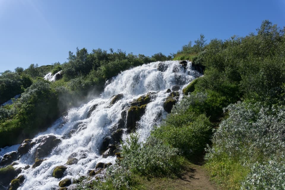 ChallengingVesturdalur – Hólmatungur8 km · 3 hr · At the trailheadCold water is the price of reaching Hólmatungur.
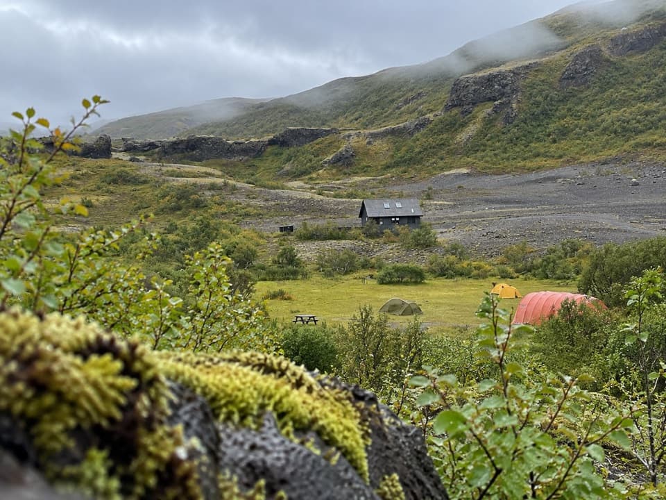 EasyEyjan in Vesturdalur1 km · 30 min · 0.3 km awayA quick 1 km loop for valley views, ponds, and birdlife.
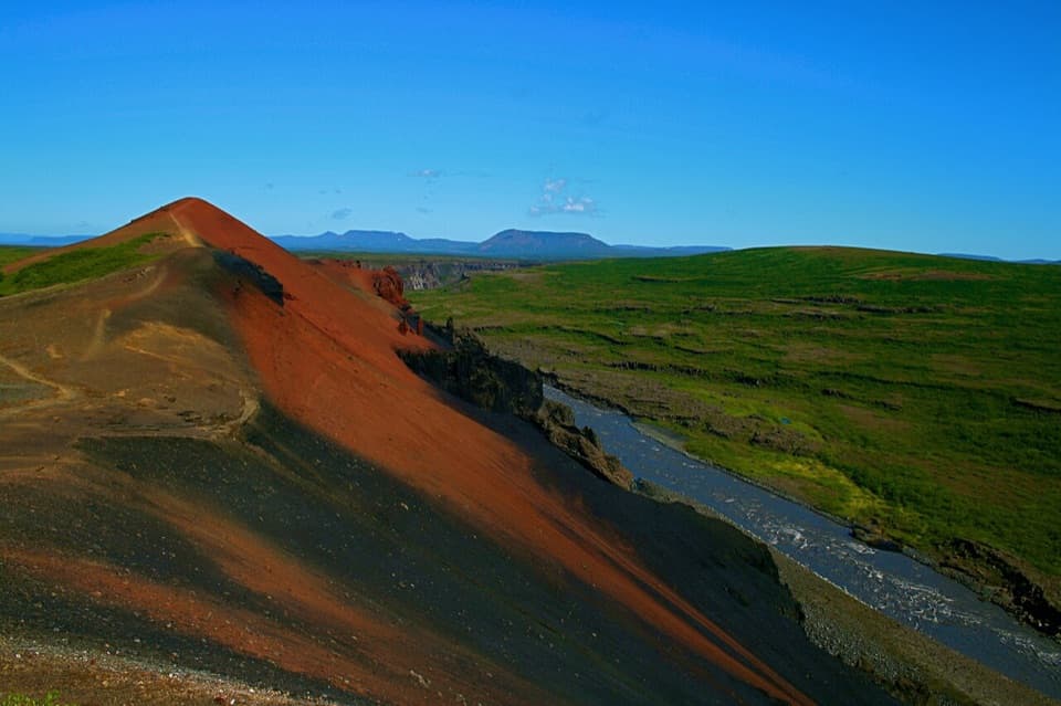 ModerateRauðhólar (Red Hills) Loop5 km · 1.8 hr · 0.7 km awayEcho Rocks and red hills in one loop above Jökulsá.
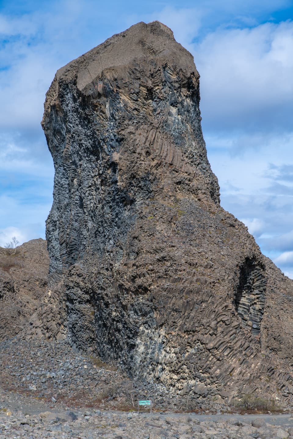 EasyHljóðaklettar – Tröllið (Troll Rock)1.2 km · 30 min · 0.7 km awayA short marked walk ends at a towering basalt pillar.
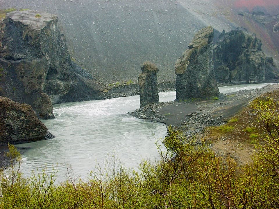 EasyKarl and Kerling Cliffs2 km · 1 hr · 0.7 km awayAn easy walk to basalt pillars beside the Jökulsá River.ChallengingSvínadalur Circle8.4 km · 3.5 hr · 0.7 km awayA challenging loop to a farm left empty since 1946.
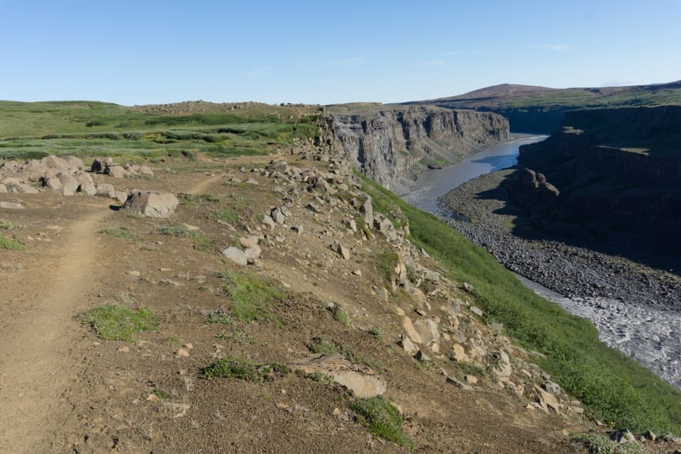 ChallengingHólmatungur – Dettifoss Trail11.5 km · 3 hr · 6.1 km awayA demanding one-way canyon walk from Hólmatungur to Dettifoss.
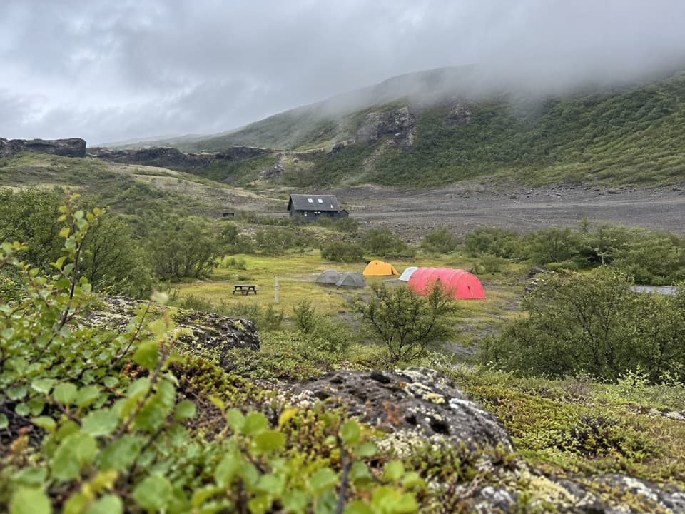 Campground · 0.2 km awayVesturdalur CampgroundA tent base for walking the volcanic Echo Rocks.
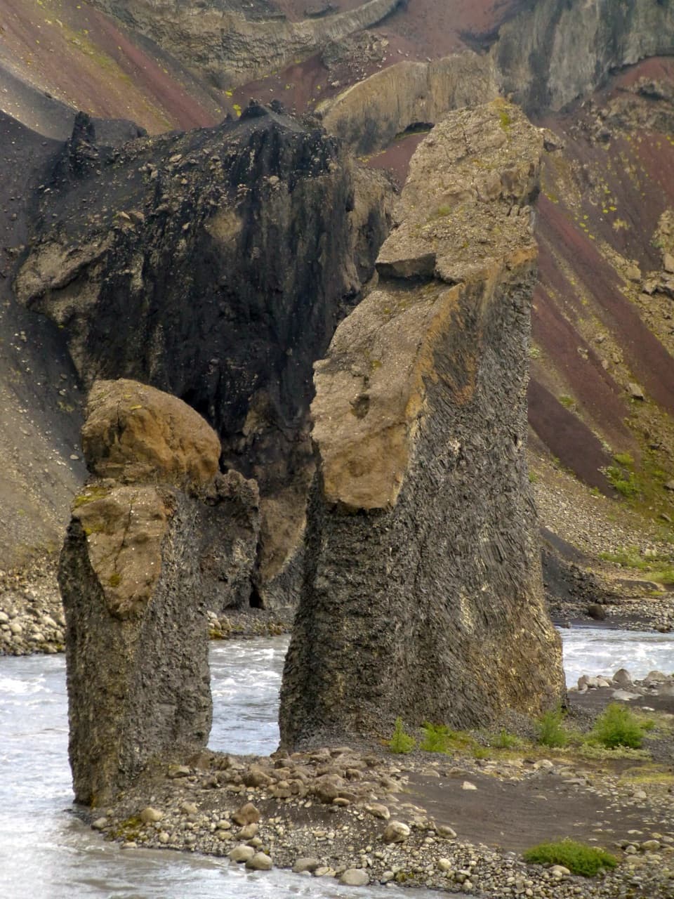 Sight · 1.7 km awayKarl and Kerling CliffsAn easy river walk to two named volcanic pillars.
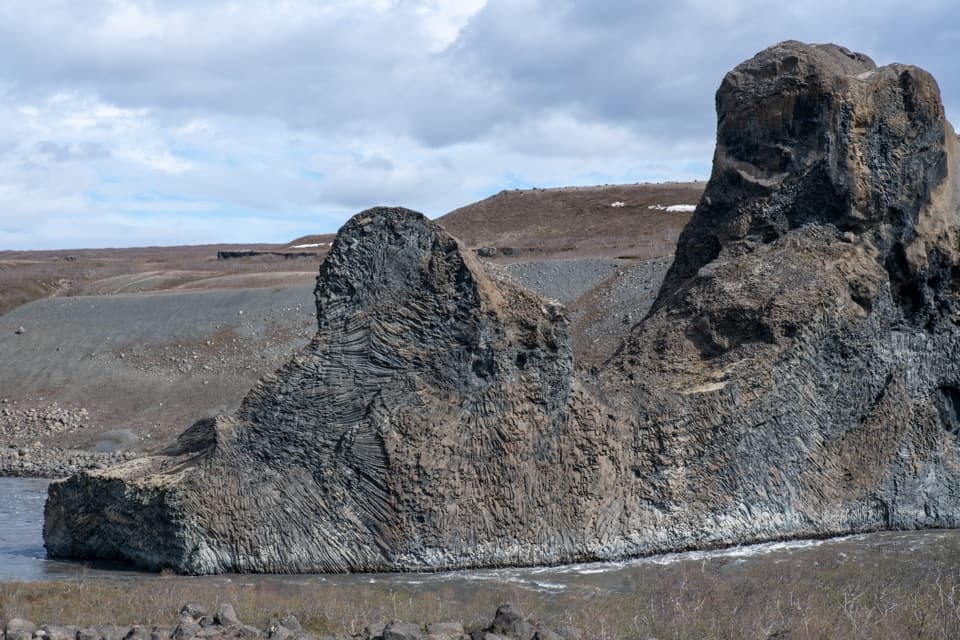 Sight · 1.8 km awayHljóðaklettar (Echo Rocks)A maze of basalt towers left behind by an ancient crater row.Sight · 2.4 km awayRauðhólar (Red Hills)A red volcanic ridge and canyon view worth a proper hike.
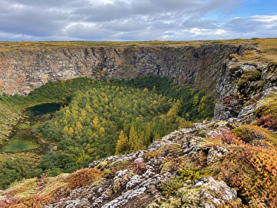 Sight · 7.6 km awayKlappir ViewpointA hard rim hike to Ásbyrgi’s cliffs and unusual potholes.
 Sight · 7.6 km awayÁsbyrgi Canyon and BotnstjörnA quiet pond beneath high cliffs, reached on a short woodland loop.
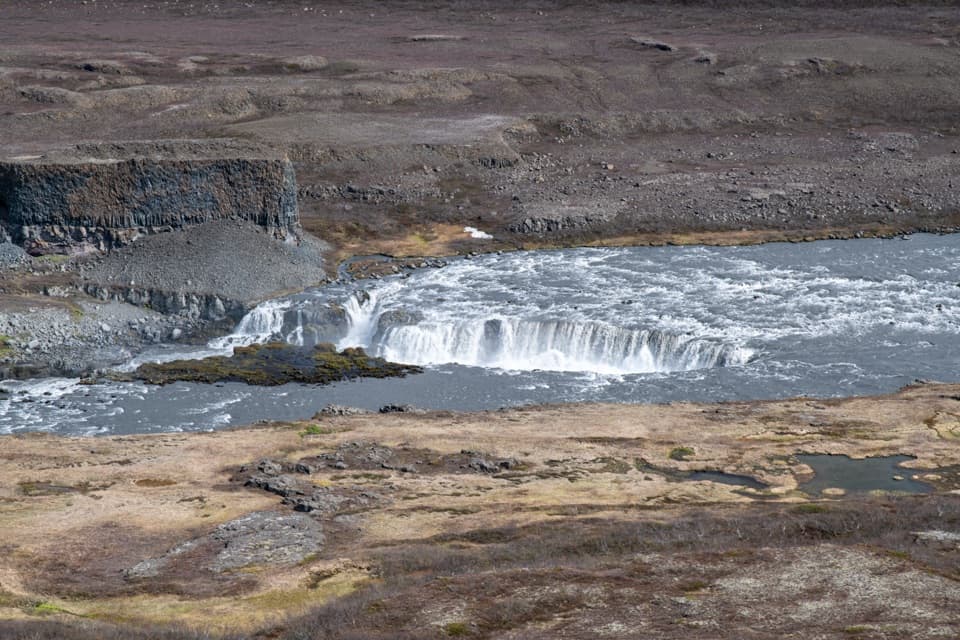 Sight · 8.1 km awayHólmatungurAn easy loop reaches cascades; a short spur adds wild whirlpools.Sight · 8.2 km awayRéttarfossA broad cascade in the green, stream-cut heart of Hólmatungur.
Parkwolf’s Vatnajökull ranking

The audio tour guide for the drive, plus offline maps, trails, and wildlife heatmaps for when the signal drops.




