Parking
Start at Hljóðaklettar parking in Vesturdalur, also called the Vesturdalur car park. Follow the signed Karl og Kerling route and return to the same lot.
Vatnajökull National Park
An easy walk to basalt pillars beside the Jökulsá River.
Photo: JuTa / Wikimedia Commons / CC BY-SA 3.0
Overview
Map & elevation
Plan your hike

The highest, rockiest slopes around here are a summer buffet for grizzly bears.
Vatnajökull Tour Guide
Parkwolf is a GPS audio tour guide for Vatnajökull National Park. As you drive, it chimes in with what’s ahead: hidden gems, upcoming stops, history, geology, and wildlife, right through your car’s speakers.
Recorded for this trailhead
Hljóðaklettar: Echo Rocks“Up ahead is Hljóðaklettar, the Echo Rocks, with curved basalt columns, caves and honeycombed walls. The rocks are hardened magma from old volcanic vents, exposed when floods swept loose material away.”
Plays as you drive up to this trailhead in the Parkwolf Vatnajökull Tour Guide.
More stories near here in the app
“Fantastic app with many points of information… It’s great to just turn on while you’re driving and it gives you an audio tour of the national Park. We love it!!!!”


Trail guide
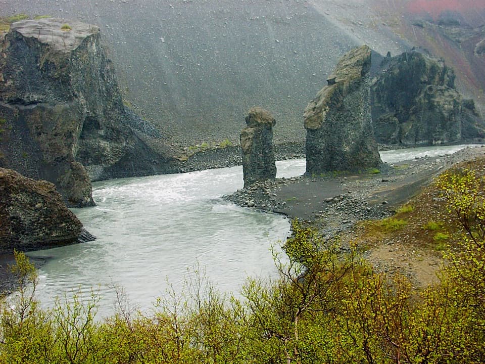
Karl and Kerling Cliffs is the short V5 out-and-back from Hljóðaklettar parking to a viewpoint across the Jökulsá. Allow about an hour for roughly 1.2 miles round trip. The route is rated easy and follows marked paths. The described walk ranges up to about 1.9 miles if you continue closer to the pillars; this entry follows the shorter viewpoint route.
Start at Hljóðaklettar parking in Vesturdalur and follow the marked route toward Karl og Kerling. The viewpoint looks toward two narrow basalt pillars beside the river, framed by dark volcanic rock. The water in the foreground helps show their scale. Stay on marked paths to protect vegetation. Dogs are allowed on leash.
Hljóðaklettar and Rauðhólar lie in a roughly 6-kilometre row of craters that erupted about 8,000–9,000 years ago. Later glacial outburst floods stripped away loose volcanic material, exposing hardened magma in the vents and leaving the canyon’s angular rock shapes. Karl and Kerling are among the area’s best-known named formations, in a landscape whose troll stories go back to settlement-era lore.
The viewpoint is the turnaround for the short line mapped here. Continuing farther down toward the rock pair makes a longer, more demanding walk of about 1.9 miles round trip. That route leads toward Kallbjarg and the wider Svínadalur walks, so follow the signs and turn back at the viewpoint if you want the short outing.
Wildlife
 23 sightingsGrey SealMost seen around 5 AMSighting map
 260 sightingsHarbor SealMost seen around 11 AMSighting map
 184 sightingsCaribouMost seen around 7 PMSighting map
 62 sightingsArctic FoxMost seen around 8 PMSighting map
 169 sightingsWhooper SwanMost seen around 5 PMSighting map
 68 sightingsAtlantic PuffinMost seen around 7 PMSighting map
Sighting maps show where each species has been reported across Vatnajökull. Wildlife moves, so no sighting is guaranteed.
Keep exploring
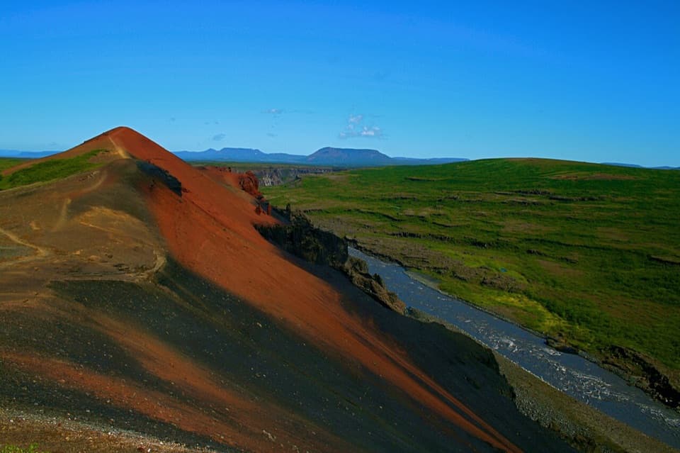 ModerateRauðhólar (Red Hills) Loop5 km · 1.8 hr · At the trailheadEcho Rocks and red hills in one loop above Jökulsá.
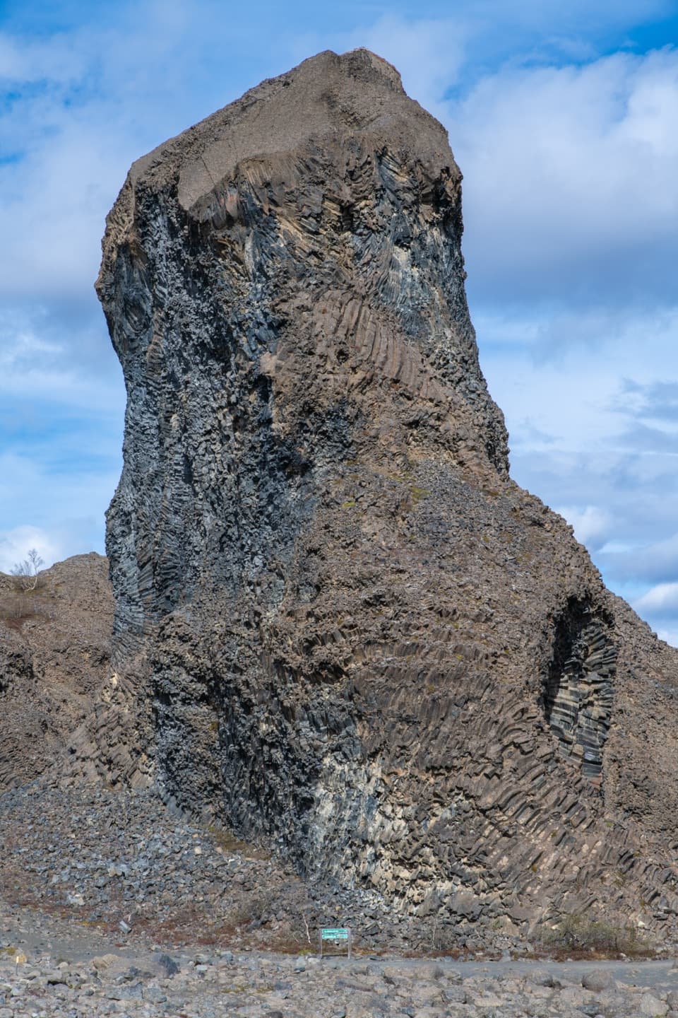 EasyHljóðaklettar – Tröllið (Troll Rock)1.2 km · 30 min · At the trailheadA short marked walk ends at a towering basalt pillar.ChallengingSvínadalur Circle8.4 km · 3.5 hr · At the trailheadA challenging loop to a farm left empty since 1946.
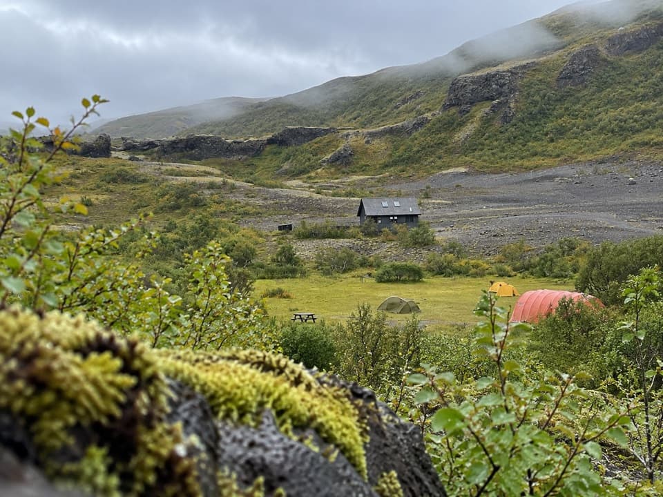 EasyEyjan in Vesturdalur1 km · 30 min · 0.4 km awayA quick 1 km loop for valley views, ponds, and birdlife.
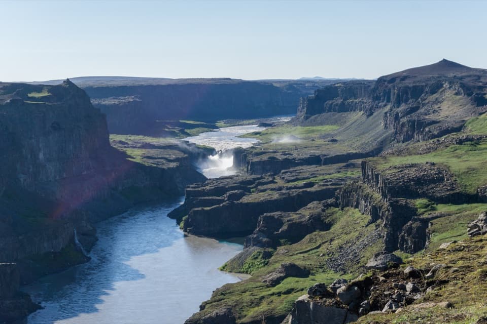 ChallengingVesturdalur–Dettifoss Trail19.5 km · 7.5 hr · 0.7 km awayA full-day canyon traverse from wooded Vesturdalur to Dettifoss.
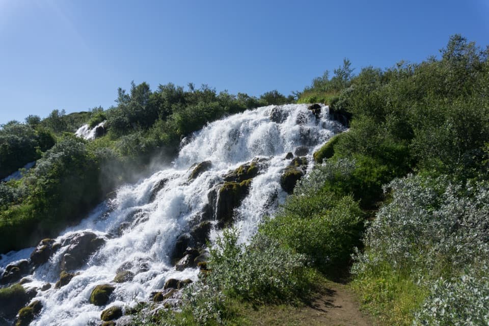 ChallengingVesturdalur – Hólmatungur8 km · 3 hr · 0.7 km awayCold water is the price of reaching Hólmatungur.ChallengingVesturdalur – Dettifoss via the Hafragil lowland18 km · 8 hr · 0.7 km awayA full-day canyon traverse with a rough descent into Hafragil.
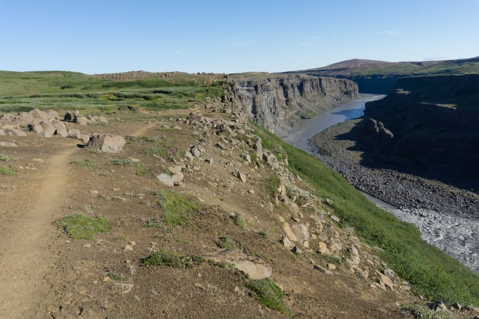 ChallengingHólmatungur – Dettifoss Trail11.5 km · 3 hr · 5.6 km awayA demanding one-way canyon walk from Hólmatungur to Dettifoss.
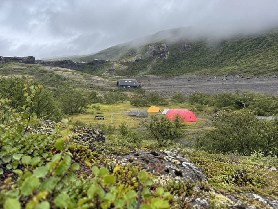 Campground · 0.5 km awayVesturdalur CampgroundA tent base for walking the volcanic Echo Rocks.
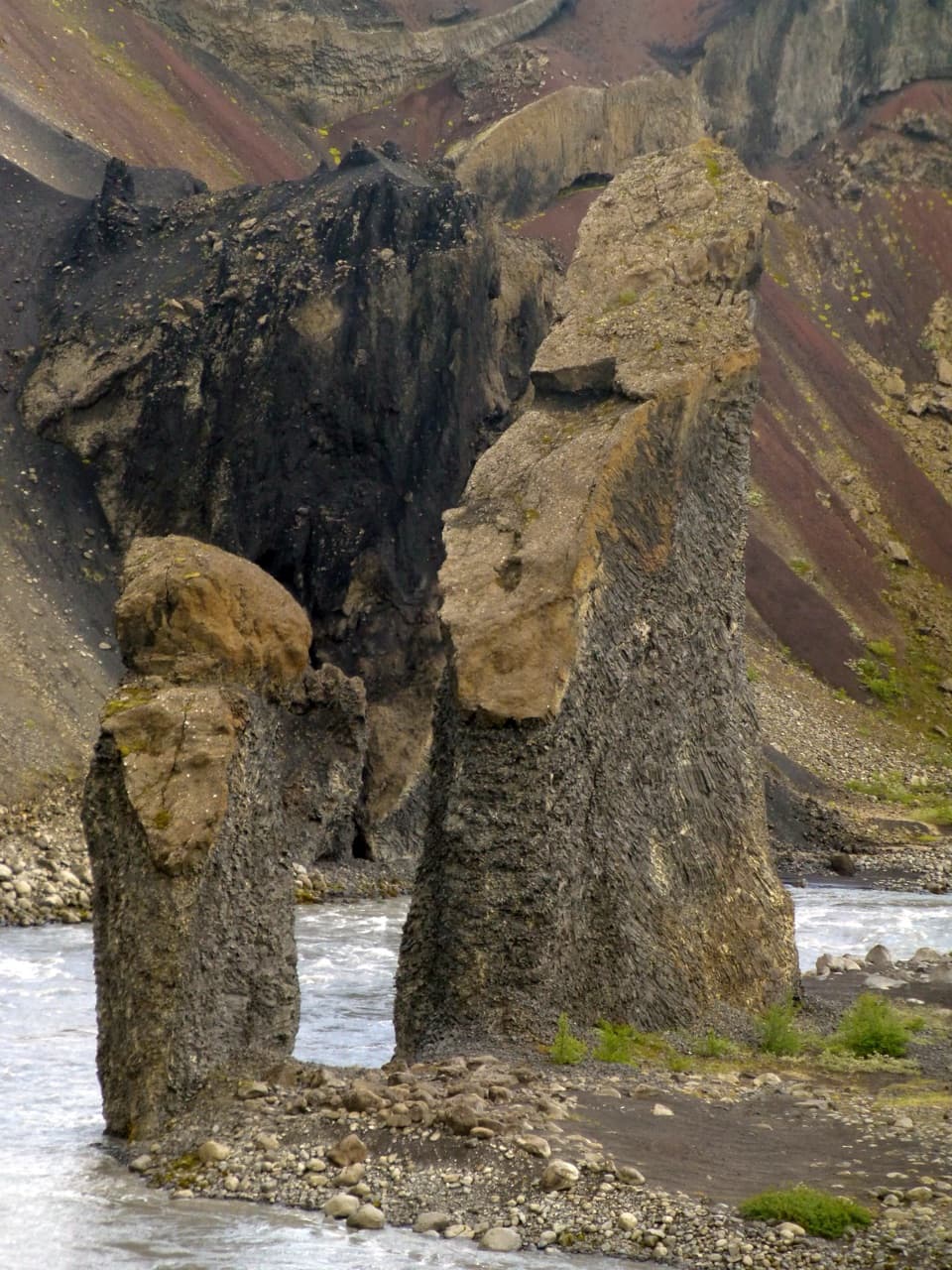 Sight · 1 km awayKarl and Kerling CliffsAn easy river walk to two named volcanic pillars.
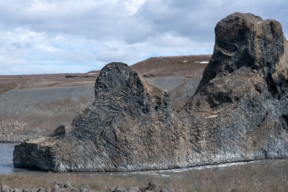 Sight · 1.6 km awayHljóðaklettar (Echo Rocks)A maze of basalt towers left behind by an ancient crater row.Sight · 2.1 km awayRauðhólar (Red Hills)A red volcanic ridge and canyon view worth a proper hike.
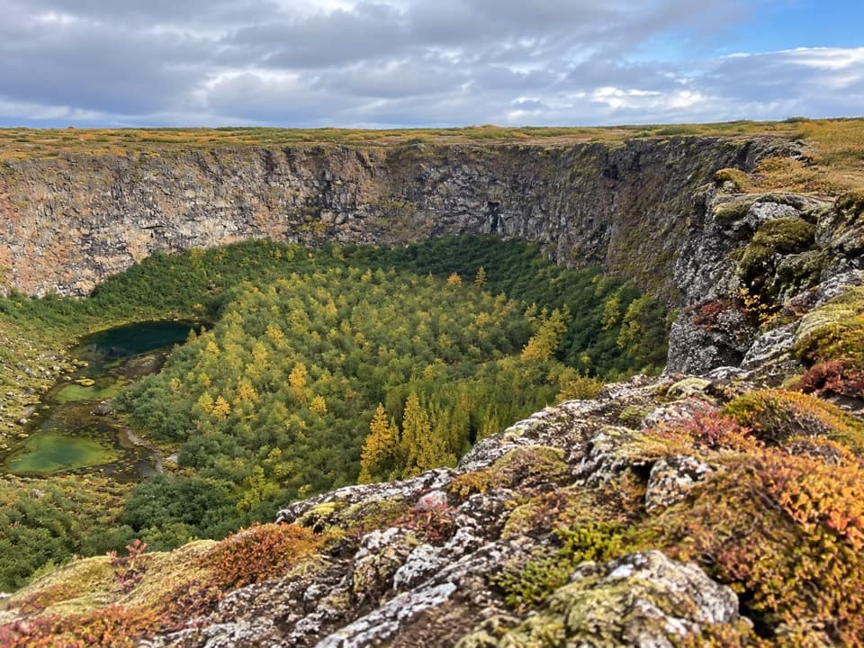 Sight · 7.5 km awayKlappir ViewpointA hard rim hike to Ásbyrgi’s cliffs and unusual potholes.
 Sight · 7.5 km awayÁsbyrgi Canyon and BotnstjörnA quiet pond beneath high cliffs, reached on a short woodland loop.
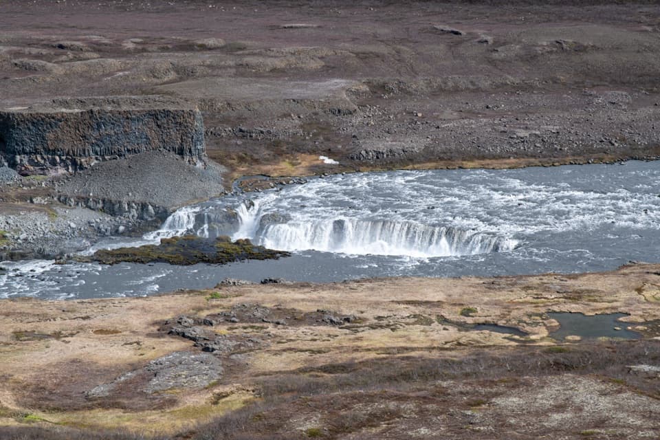 Sight · 7.6 km awayHólmatungurAn easy loop reaches cascades; a short spur adds wild whirlpools.Sight · 7.7 km awayRéttarfossA broad cascade in the green, stream-cut heart of Hólmatungur.
Parkwolf’s Vatnajökull ranking

The audio tour guide for the drive, plus offline maps, trails, and wildlife heatmaps for when the signal drops.




