Parking
Start at the Vesturdalur / Hólmatungur car park beside the campground. This is a point-to-point walk; arrange a pickup or second car at the Dettifoss west-side parking area.
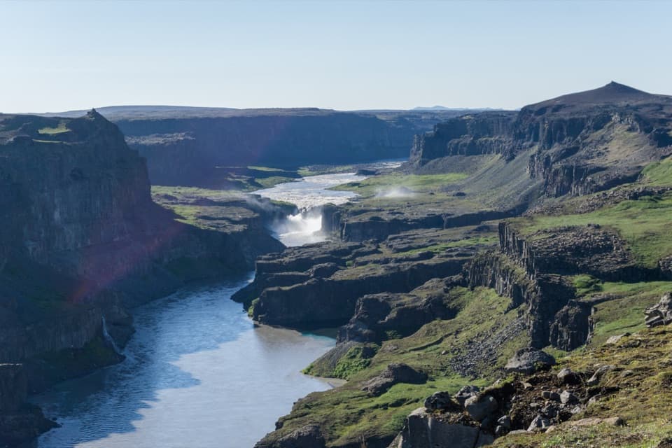
Vatnajökull National Park
A full-day canyon traverse from wooded Vesturdalur to Dettifoss.
Photo: Michal Klajban, CC BY-SA 4.0, via Wikimedia Commons
Overview
Map & elevation
Plan your hike

The highest, rockiest slopes around here are a summer buffet for grizzly bears.
Vatnajökull Tour Guide
Parkwolf is a GPS audio tour guide for Vatnajökull National Park. As you drive, it chimes in with what’s ahead: hidden gems, upcoming stops, history, geology, and wildlife, right through your car’s speakers.
Recorded for this trailhead
Vesturdalur: Camping and the Eyjan Loop“Vesturdalur Campground is coming up, a basic tent-only base for spending more time around the Echo Rocks.”
Plays as you drive up to this trailhead in the Parkwolf Vatnajökull Tour Guide.
More stories near here in the app
“Fantastic app with many points of information… It’s great to just turn on while you’re driving and it gives you an audio tour of the national Park. We love it!!!!”


Trail guide
Vesturdalur–Dettifoss is a challenging 19.5 km (12.1 mi), one-way canyon walk from the Vesturdalur / Hólmatungur car park to the west side of Dettifoss. The upper route follows the sequence through Karl og Kerling, Kallbjarg and Hólmatungur, then along the upper side of Hafragil to the waterfall. The park lists the two stages as 8 km and 11.5 km; its map estimates 7–8 hours for the whole crossing. This is a full day of walking, not a short falls loop. Leave time for the ford and stops, and arrange a pickup or second car at Dettifoss.
The campground at Vesturdalur has toilets and drinking water, but it is tent-only, has no hot water or electricity, and usually operates from early June to mid-September; dates can vary. There are no cabins along this section, and no food service is listed on the route, so arrange supplies before setting out. The trail ends at Dettifoss west-side access; if you are walking only this segment, plan how you will get back to your car. Dogs may accompany you but must stay leashed.
The first stage moves from the green, birch-wooded Vesturdalur into views of the canyon and its basalt walls. The route passes Karl og Kerling, then Kallbjarg, before reaching Hólmatungur. Expect a long, uneven walk rather than a smooth path, with natural tread and rough gravel underfoot. Around Hólmatungur, the landscape opens to springs, ponds, small waterfalls and marshy ground. The sole river crossing on the full canyon route is Stallá, a cold, shallow spring-fed river on this first stage. You cross it on foot, so assess the ford before stepping in.
Beyond Hólmatungur, the 11.5 km finish follows the high side of Hafragil, passing Þórunnarfjall and continuing north of the ravine toward Dettifoss. The upper route stays along the canyon rim and gives changing views down into the gorge. A shorter route from Hólmatungur descends through the Hafragil lowland; it is a different line, roughly 10 km, with a steep descent, large boulders and rockfall risk. Do not mistake its route for this upper traverse.
The walk changes character as it goes. Birch woodland, low shrubs and water around Vesturdalur and Hólmatungur give way to bare gravel and open ground near Dettifoss. The river is the constant reference: quiet ponds and clear springs sit above its rough, fast channel, while the canyon edges keep drawing your eye back to the basalt layers. The park map notes rowan and common juniper around the wooded stretches; they are part of the landscape, not a promise of a particular wildlife sighting.
Dettifoss is about 44–45 m high and roughly 100 m wide, with Selfoss above it and Hafragilsfoss downstream. It is a huge payoff after the long traverse. Jökulsárgljúfur's walls reflect the river's power: outburst floods and glacial-river action carved the wider canyon, while Dettifoss has cut a narrower 500 m reach. The west rim above Hafragilsfoss is the signature view to stop for a photo; frame the river with both canyon walls to show how the waterfall sits in the gorge.
Wildlife
 23 sightingsGrey SealMost seen around 5 AMSighting map
 260 sightingsHarbor SealMost seen around 11 AMSighting map
 184 sightingsCaribouMost seen around 7 PMSighting map
 62 sightingsArctic FoxMost seen around 8 PMSighting map
 169 sightingsWhooper SwanMost seen around 5 PMSighting map
 68 sightingsAtlantic PuffinMost seen around 7 PMSighting map
Sighting maps show where each species has been reported across Vatnajökull. Wildlife moves, so no sighting is guaranteed.
Keep exploring
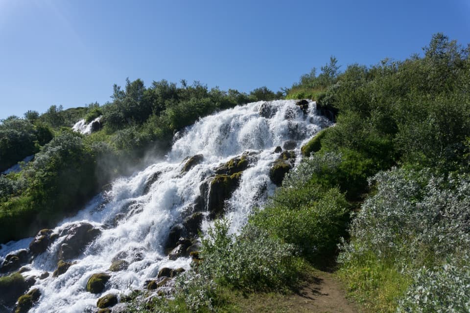 ChallengingVesturdalur – Hólmatungur8 km · 3 hr · At the trailheadCold water is the price of reaching Hólmatungur.ChallengingVesturdalur – Dettifoss via the Hafragil lowland18 km · 8 hr · At the trailheadA full-day canyon traverse with a rough descent into Hafragil.
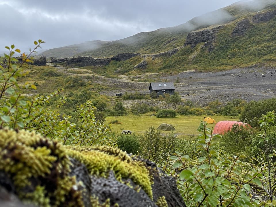 EasyEyjan in Vesturdalur1 km · 30 min · 0.3 km awayA quick 1 km loop for valley views, ponds, and birdlife.
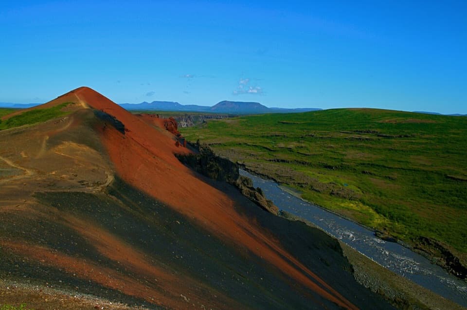 ModerateRauðhólar (Red Hills) Loop5 km · 1.8 hr · 0.7 km awayEcho Rocks and red hills in one loop above Jökulsá.
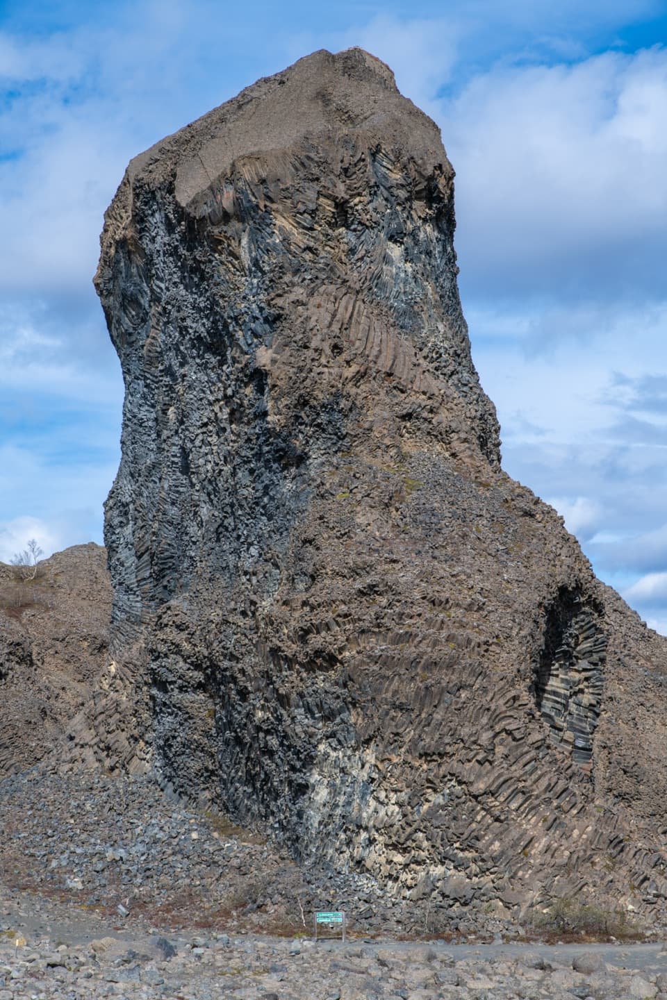 EasyHljóðaklettar – Tröllið (Troll Rock)1.2 km · 30 min · 0.7 km awayA short marked walk ends at a towering basalt pillar.
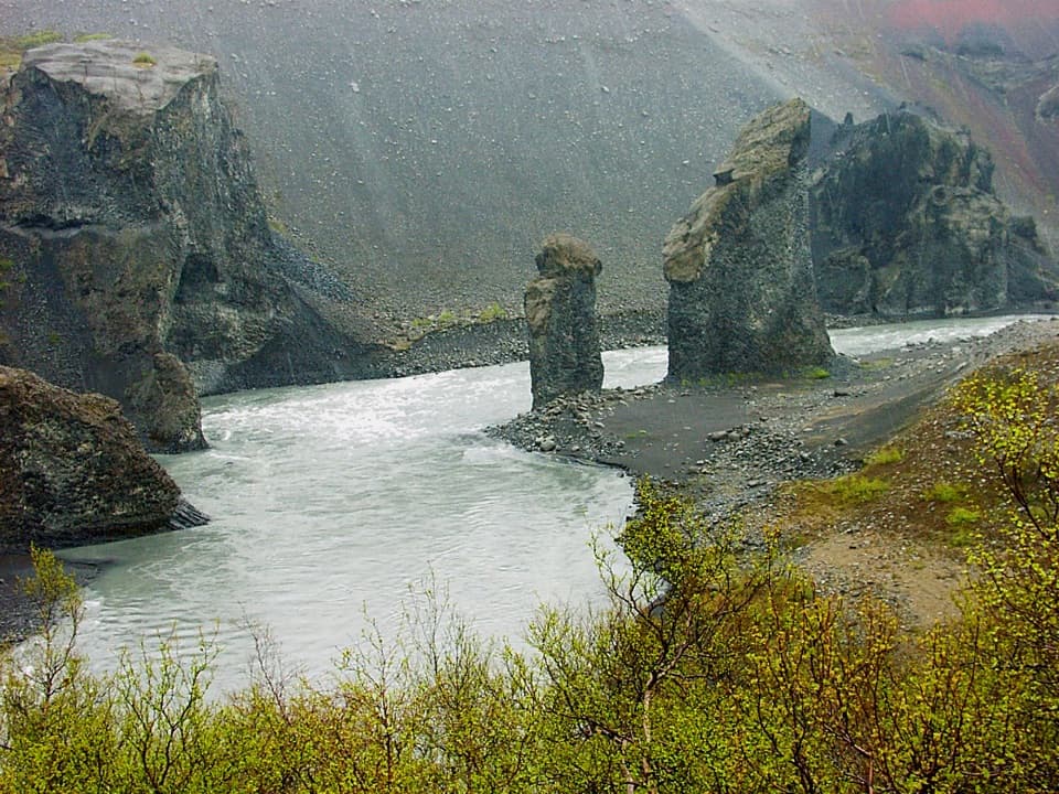 EasyKarl and Kerling Cliffs2 km · 1 hr · 0.7 km awayAn easy walk to basalt pillars beside the Jökulsá River.ChallengingSvínadalur Circle8.4 km · 3.5 hr · 0.7 km awayA challenging loop to a farm left empty since 1946.
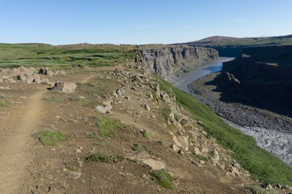 ChallengingHólmatungur – Dettifoss Trail11.5 km · 3 hr · 6.1 km awayA demanding one-way canyon walk from Hólmatungur to Dettifoss.
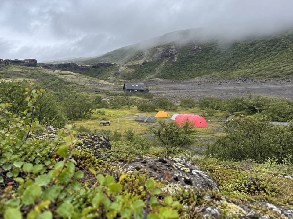 Campground · 0.2 km awayVesturdalur CampgroundA tent base for walking the volcanic Echo Rocks.
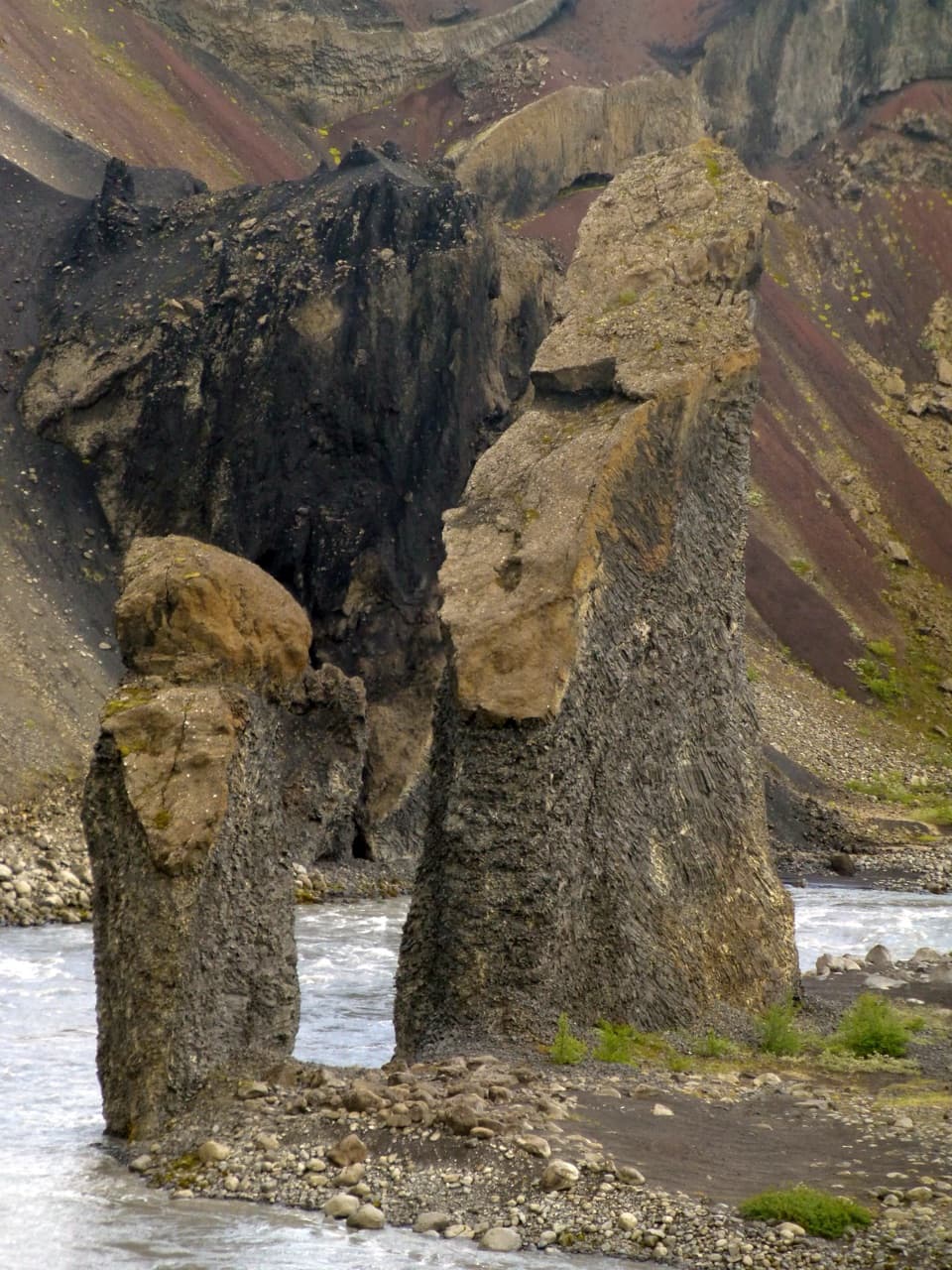 Sight · 1.7 km awayKarl and Kerling CliffsAn easy river walk to two named volcanic pillars.
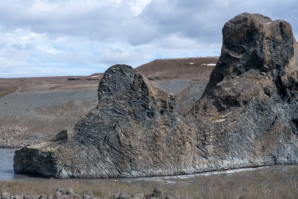 Sight · 1.8 km awayHljóðaklettar (Echo Rocks)A maze of basalt towers left behind by an ancient crater row.Sight · 2.4 km awayRauðhólar (Red Hills)A red volcanic ridge and canyon view worth a proper hike.
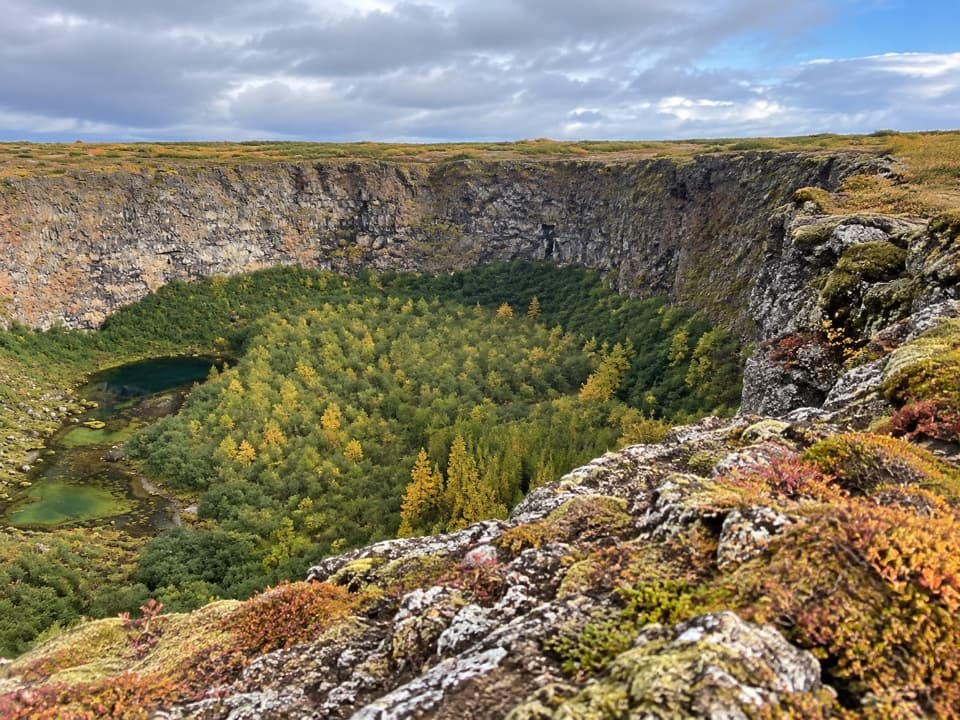 Sight · 7.6 km awayKlappir ViewpointA hard rim hike to Ásbyrgi’s cliffs and unusual potholes.
 Sight · 7.6 km awayÁsbyrgi Canyon and BotnstjörnA quiet pond beneath high cliffs, reached on a short woodland loop.
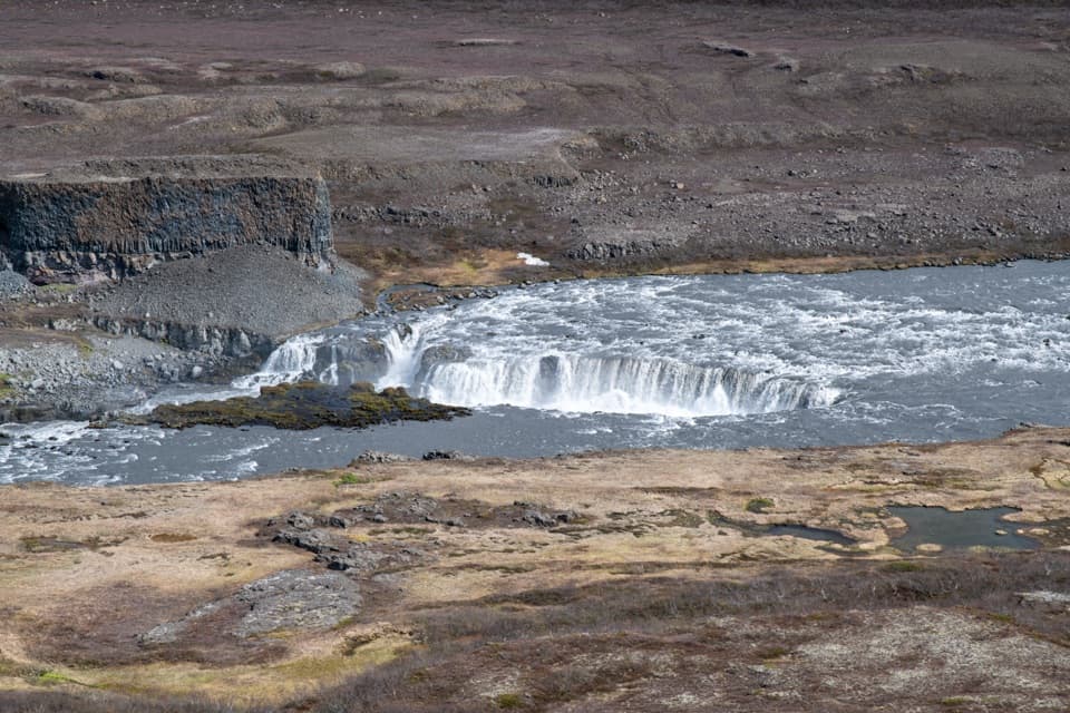 Sight · 8.1 km awayHólmatungurAn easy loop reaches cascades; a short spur adds wild whirlpools.Sight · 8.2 km awayRéttarfossA broad cascade in the green, stream-cut heart of Hólmatungur.
Parkwolf’s Vatnajökull ranking

The audio tour guide for the drive, plus offline maps, trails, and wildlife heatmaps for when the signal drops.




