Parking
Use the Ásbyrgi car park for the Botnstjörn paths, then follow the main trail to the Á10 connection.
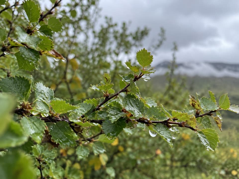
Vatnajökull National Park
Thirteen signs turn a birch-forest walk into a plant lesson.
Overview
Map & elevation
Plan your hike

The highest, rockiest slopes around here are a summer buffet for grizzly bears.
Vatnajökull Tour Guide
Parkwolf is a GPS audio tour guide for Vatnajökull National Park. As you drive, it chimes in with what’s ahead: hidden gems, upcoming stops, history, geology, and wildlife, right through your car’s speakers.
Recorded for this trailhead
Ásbyrgi and Botnstjörn“You're approaching Botnstjörn, the pond tucked below Ásbyrgi's inner cliffs. For a short visit to the canyon floor, this is the walk I'd choose: about half an hour on a one-kilometre loop from the inner car park.”
Plays as you drive up to this trailhead in the Parkwolf Vatnajökull Tour Guide.
More stories near here in the app
“Fantastic app with many points of information… It’s great to just turn on while you’re driving and it gives you an audio tour of the national Park. We love it!!!!”


Trail guide
Flowers Visitor Trail (Á10) is an easy, roughly 0.5 km (0.31 mi) loop through the birch forest in Ásbyrgi. Allow about 30 minutes. It’s a good add-on if you’re already heading for Botnstjörn; it’s too brief to plan a day around on its own.
Thirteen small signs cover flowers, berries, lichens and mushrooms, including how people have used them and the culture around them. Take a little time with the signs if local plant life interests you. If you want a longer walk or a big viewpoint, continue on the Botnstjörn route instead of expecting that from Á10.
Park at the Ásbyrgi car park and follow the main trail toward Botnstjörn to the Á10 connection. The interpretive path rejoins the main trail, and a short shared stretch closes the circuit. If you have time, continue to Botnstjörn on the separate 1 km circle. Outburst floods shaped the pond and the surrounding canyon; in spring or after heavy rain, a small waterfall can spill into it.
Wildlife
 23 sightingsGrey SealMost seen around 5 AMSighting map
 260 sightingsHarbor SealMost seen around 11 AMSighting map
 184 sightingsCaribouMost seen around 7 PMSighting map
 62 sightingsArctic FoxMost seen around 8 PMSighting map
 169 sightingsWhooper SwanMost seen around 5 PMSighting map
 68 sightingsAtlantic PuffinMost seen around 7 PMSighting map
Sighting maps show where each species has been reported across Vatnajökull. Wildlife moves, so no sighting is guaranteed.
Keep exploring
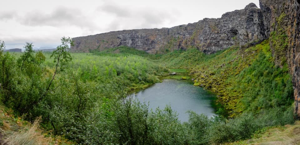 EasyBotnstjörn Pond Trail (Á1)1 km · 30 min · At the trailheadA short loop to a pond beneath Ásbyrgi’s inner cliffs.
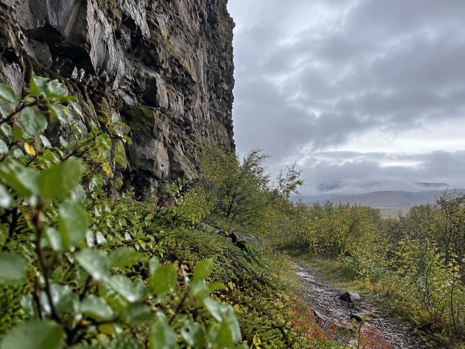 EasyUnderneath Eyjan3.5 km · 1.3 hr · 2.5 km awayA short, easy walk beneath Eyjan’s high cliff.
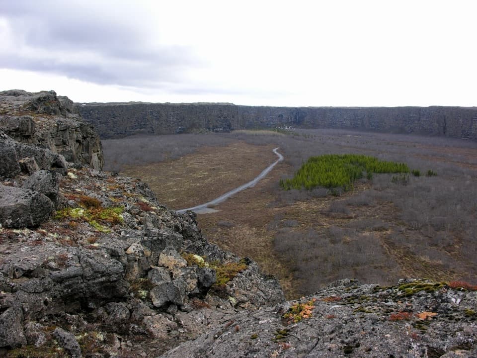 EasyEyjan in Ásbyrgi4.5 km · 1.8 hr · 2.8 km awayViews from Eyjan over the canyon at the heart of Ásbyrgi.
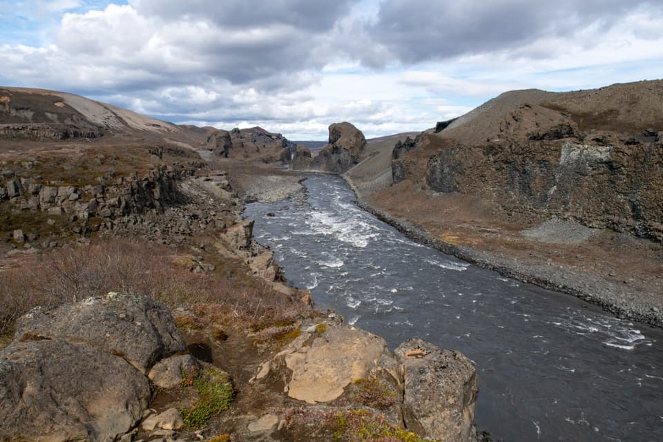 ChallengingÁsbyrgi to Dettifoss Canyon Trail32 km · 12 hr · 3.2 km awayTwo-day canyon traverse from Ásbyrgi to Dettifoss over a cold ford.
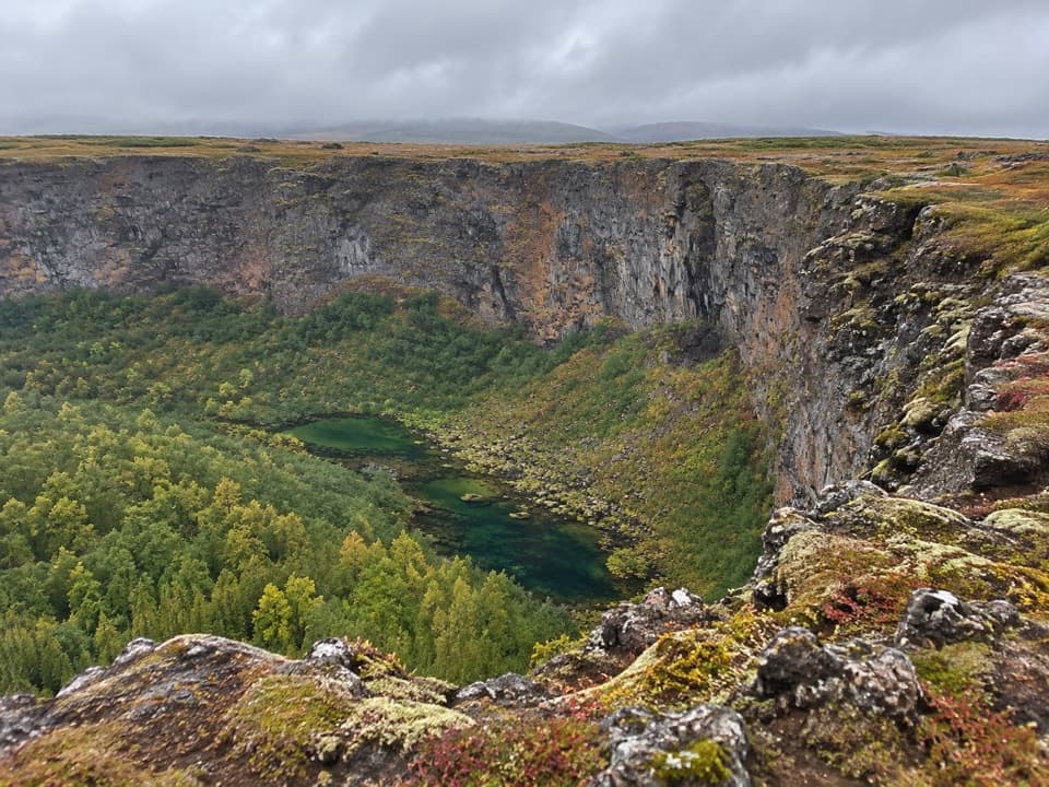 ChallengingKlappir Trail (Á7)9 km · 2.8 hr · 3.2 km awayA 9 km walk for canyon views and Klappir’s potholes
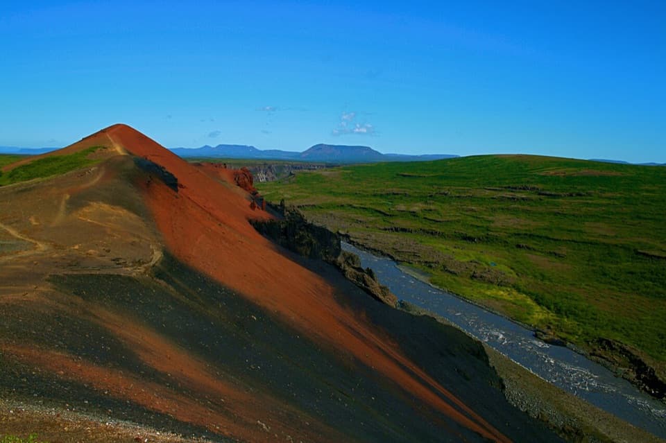 ChallengingÁsbyrgi–Vesturdalur Rim Trail12.7 km · 4.5 hr · 3.2 km awayCanyon views, Rauðhólar ridges, and Hljóðaklettar basalt.
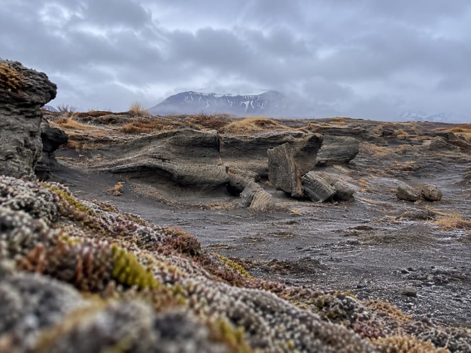 ChallengingKúahvammur Circle (Á8)12.7 km · 4.5 hr · 3.2 km awayA 12.7 km circuit linking Klappir and Kúahvammur.
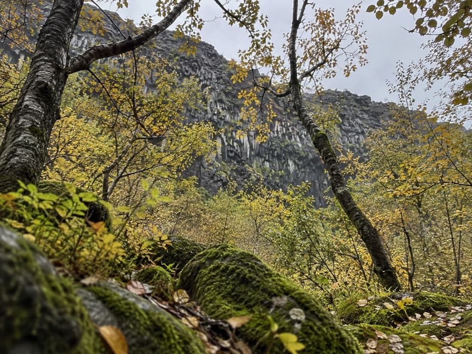 EasySkógarstígur (Á3) Trail4 km · 1.5 hr · 3.2 km awayBirch woods and old charcoal pits lead to a quiet canyon pool.
 Sight · 0.4 km awayÁsbyrgi Canyon and BotnstjörnA quiet pond beneath high cliffs, reached on a short woodland loop.
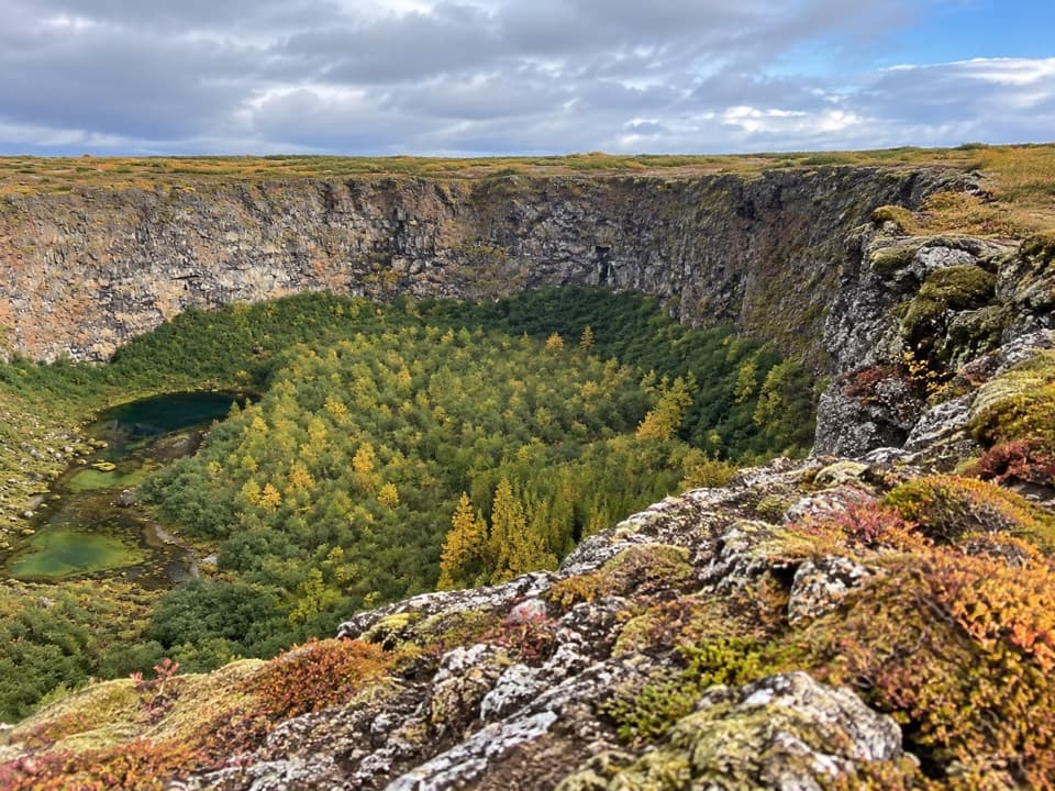 Sight · 0.4 km awayKlappir ViewpointA hard rim hike to Ásbyrgi’s cliffs and unusual potholes.
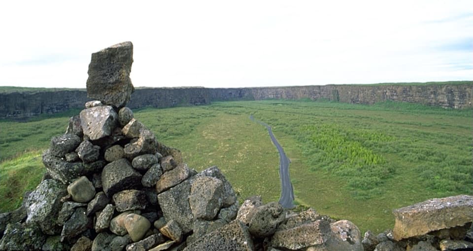 Sight · 1.3 km awayEyjan Viewpoint (Ásbyrgi)A 4.5 km walk opens up the horseshoe shape below.
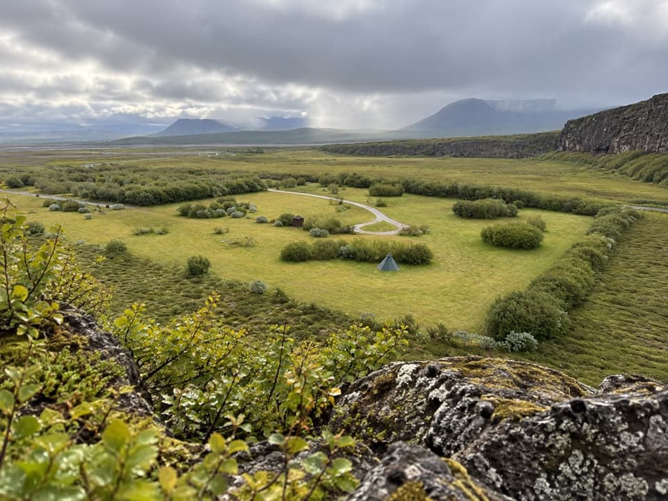 Campground · 2.9 km awayÁsbyrgi CampgroundBirch-shaded pitches with a ridge walk starting just beyond camp.
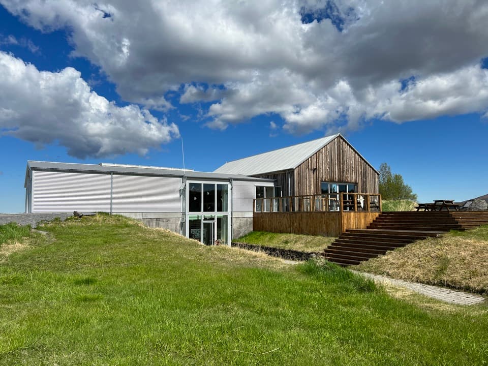 Visitor center · 3.2 km awayGljúfrastofa Visitor CentreSort out your Ásbyrgi walks before heading into the canyon.Sight · 5.9 km awayRauðhólar (Red Hills)A red volcanic ridge and canyon view worth a proper hike.
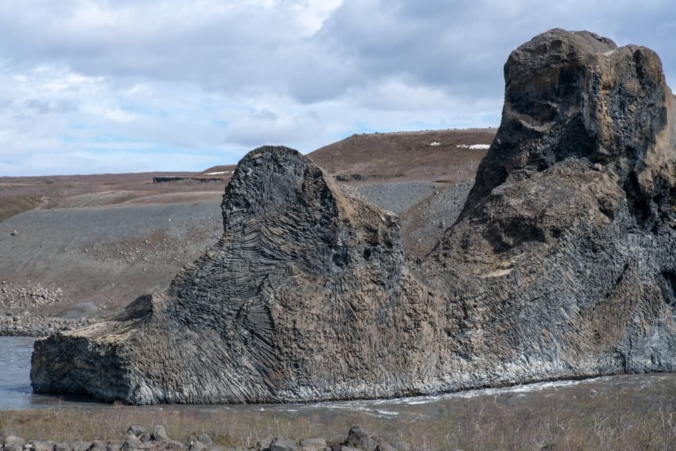 Sight · 6.4 km awayHljóðaklettar (Echo Rocks)A maze of basalt towers left behind by an ancient crater row.
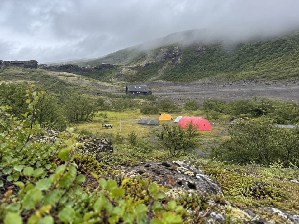 Campground · 7.9 km awayVesturdalur CampgroundA tent base for walking the volcanic Echo Rocks.
Parkwolf’s Vatnajökull ranking

The audio tour guide for the drive, plus offline maps, trails, and wildlife heatmaps for when the signal drops.




