Overview
About Sjónarnípa Viewpoint
Why stop
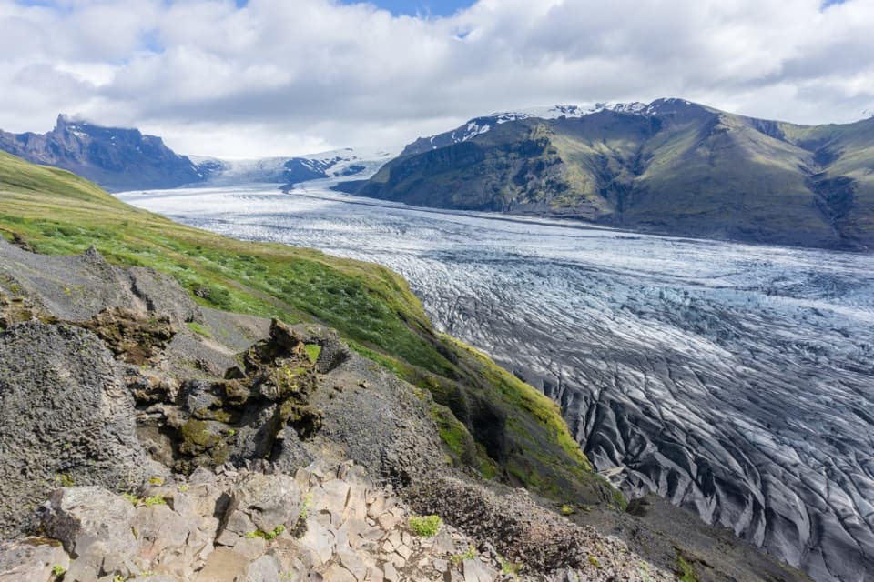
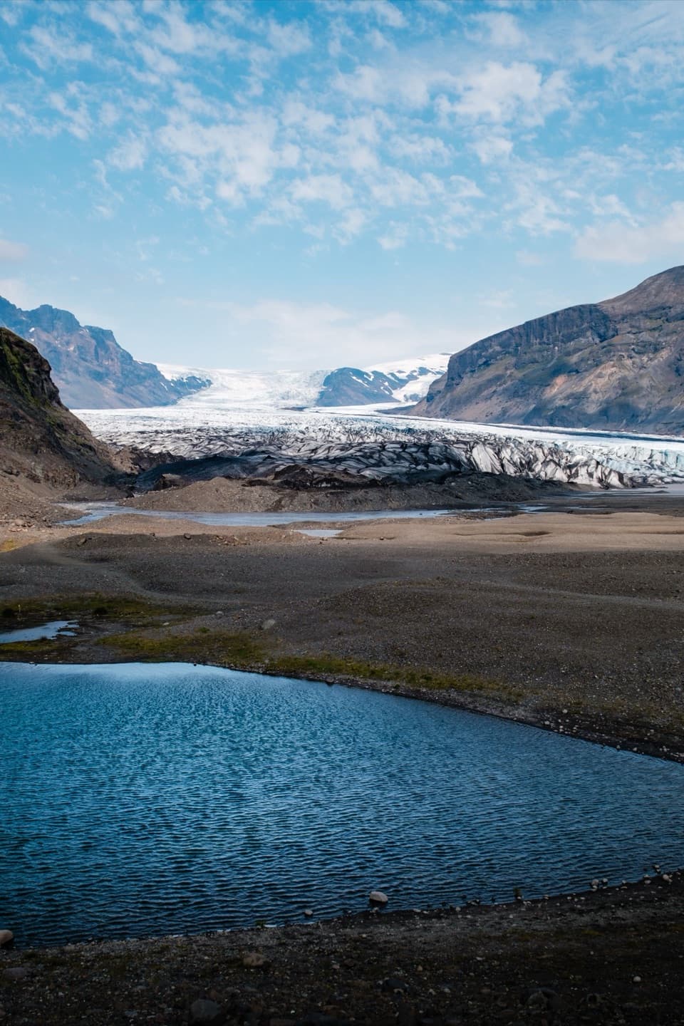
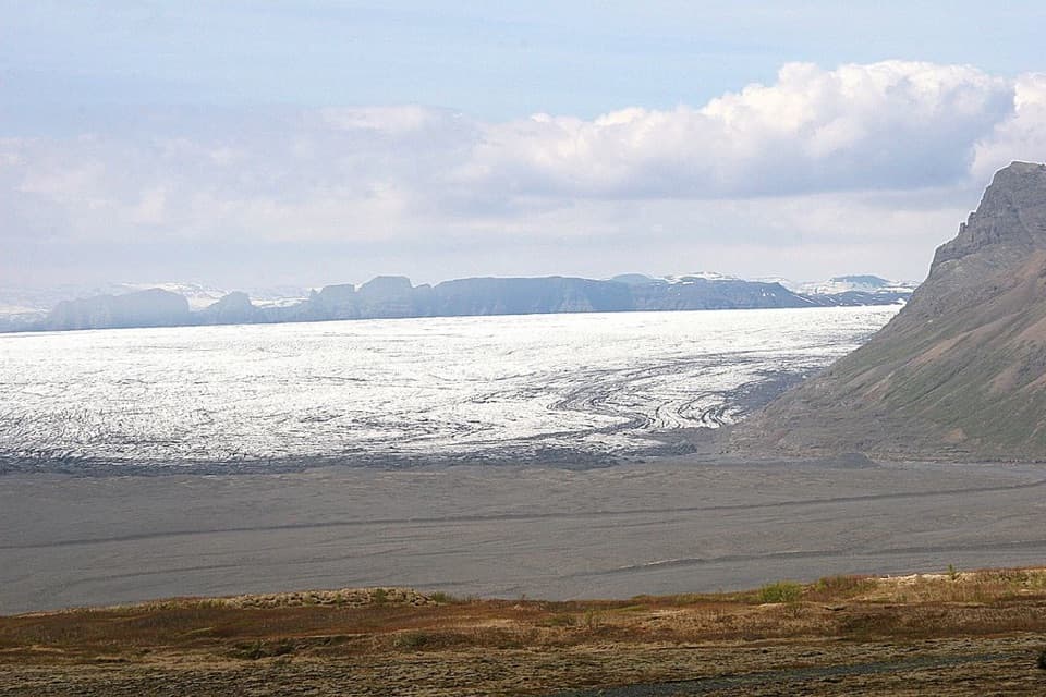
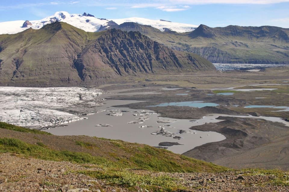
- An elevated view of Skaftafellsjökull and its broad glacier valley.
Heads up
- A challenging uphill loop is a substantial commitment for one view.
Map
Where it is

The highest, rockiest slopes around here are a summer buffet for grizzly bears.
Vatnajökull Tour Guide
Your drive to Sjónarnípa Viewpoint, narrated.
Parkwolf is a GPS audio tour guide for Vatnajökull National Park. As you drive, it chimes in with what’s ahead: hidden gems, upcoming stops, history, geology, and wildlife, right through your car’s speakers.
Recorded for this place
Skaftafell: Waterfall or Glacier Walk“You're nearing Skaftafell, the starting point for walks to Svartifoss and the glacier. Start at the visitor centre if you haven't chosen a route.”
Plays as you drive up to Sjónarnípa Viewpoint in the Parkwolf Vatnajökull Tour Guide.
More stories near here in the app
- The Woods Iceland Lost
- Svínafellsjökull Viewpoint
- Skeiðará Bridge Monument: The 1996 Flood
- The Sieve Inside a Duck's Bill
- 298 audio storiesacross Vatnajökull’s roads, triggered by GPS as you drive
- Wildlife heatmapsfor Grey Seal, Harbor Seal, Caribou, and 13 more
- Works offlinemaps, 92 trails, 75 places, and audio download before you lose signal
- CarPlay readysimple controls built for the drive
“Fantastic app with many points of information… It’s great to just turn on while you’re driving and it gives you an audio tour of the national Park. We love it!!!!”


Guide
More about Sjónarnípa Viewpoint
The climb is the pointSjónarnípa is a high mountain viewpoint above Skaftafellsjökull, the outlet glacier flowing…
Sjónarnípa is a high mountain viewpoint above Skaftafellsjökull, the outlet glacier flowing from Vatnajökull into Skaftafell. It is a hiking destination, not a roadside pullout. The S5 loop from Skaftafellsstofa is 6.5 km, takes 2–2.5 hours and climbs 320 m; expect a challenging uphill walk. If you also want Svartifoss, S6 combines the waterfall and viewpoint in a 7.1 km loop that takes about 2.5–3 hours.
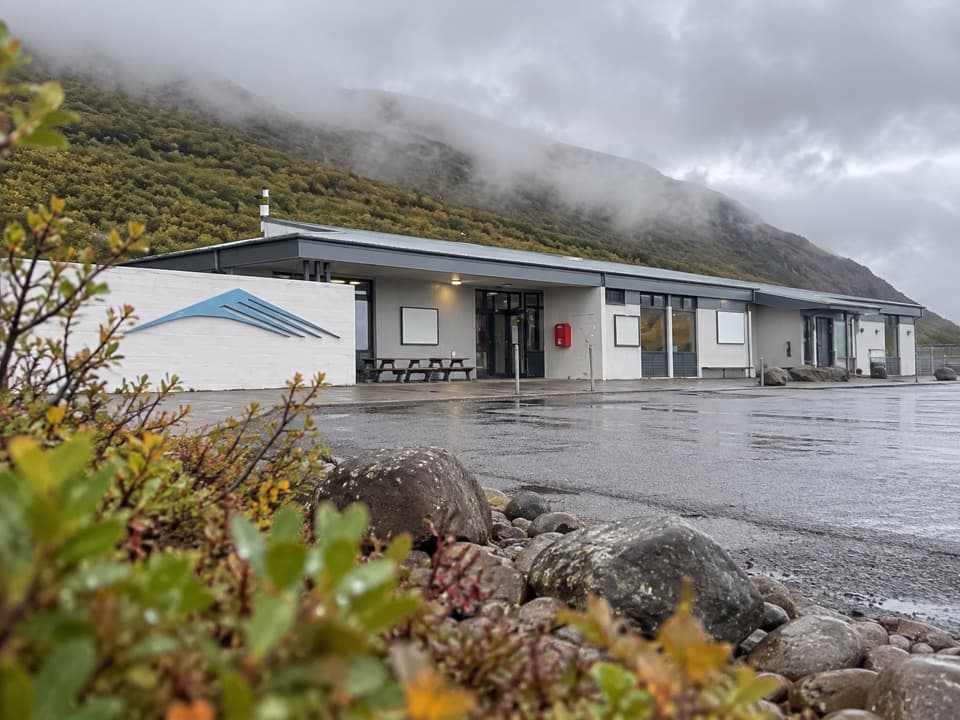
Follow the S5 signsThe route starts beside Skaftafellsstofa.
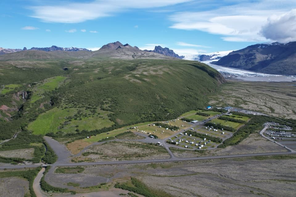
The route starts beside Skaftafellsstofa. Its first 250 m cross the campground before turning uphill. Follow the path toward Svartifoss to the signed junction, turn right for Sjónarnípa, then return toward the visitor centre via Austurbrekkur. The route is marked, but the sustained climb makes this a bigger commitment than a quick roadside stop.
Look beyond the iceAs you near the viewpoint, Skaftafellsjökull opens below you.
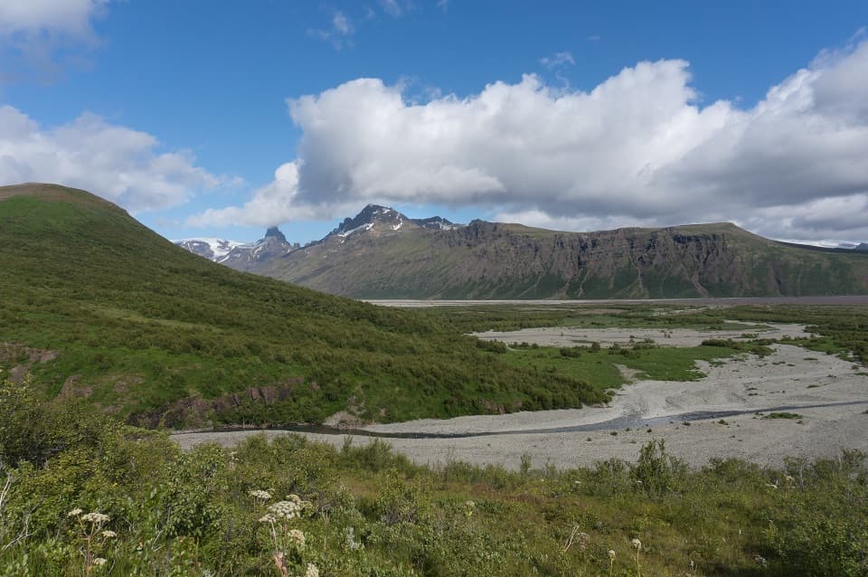
As you near the viewpoint, Skaftafellsjökull opens below you. Views along the hike also reach toward Kristínartindar, Hrútfjallstindar and Öræfajökull. For a photo, keep the glacier and its surrounding ridgeline together in a wide frame; the panorama is the point, not just a close-up of ice.
Read the glacier landscapeSkaftafellsjökull is one of the outlet glaciers flowing from Vatnajökull.
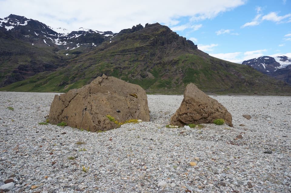
Skaftafellsjökull is one of the outlet glaciers flowing from Vatnajökull. On the nearby marked glacier walk, kettle holes and patches of vegetation at different stages show details of the landscape left by retreating ice. From Sjónarnípa, those smaller features sit within the broad valley view.
Birdlife and practicalitiesSpring and early summer bring rich birdlife along the S5 and S6 routes; stay on the marked…
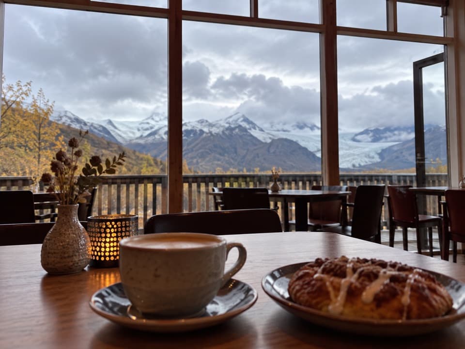
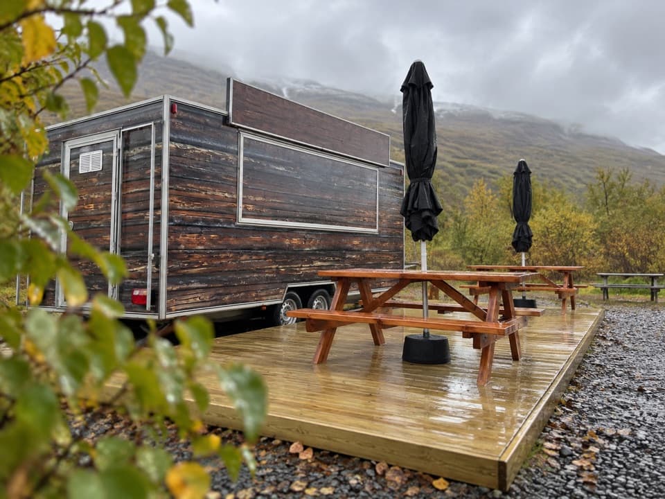
Spring and early summer bring rich birdlife along the S5 and S6 routes; stay on the marked paths around nesting areas. Skaftafell is reached from Route 1 and accessible year-round when weather and road conditions allow, though conditions can change quickly outside summer. Flush toilets and seasonal restaurants are available in the Skaftafell service area around the visitor centre, near the route start.
Wildlife
Wildlife in Vatnajökull
 23 sightingsGrey SealMost seen around 5 AMSighting map
 260 sightingsHarbor SealMost seen around 11 AMSighting map
 184 sightingsCaribouMost seen around 7 PMSighting map
 62 sightingsArctic FoxMost seen around 8 PMSighting map
 169 sightingsWhooper SwanMost seen around 5 PMSighting map
 68 sightingsAtlantic PuffinMost seen around 7 PMSighting map
Sighting maps show where each species has been reported across Vatnajökull. Wildlife moves, so no sighting is guaranteed.