Overview
About Sjónarsker Viewpoint
Why stop
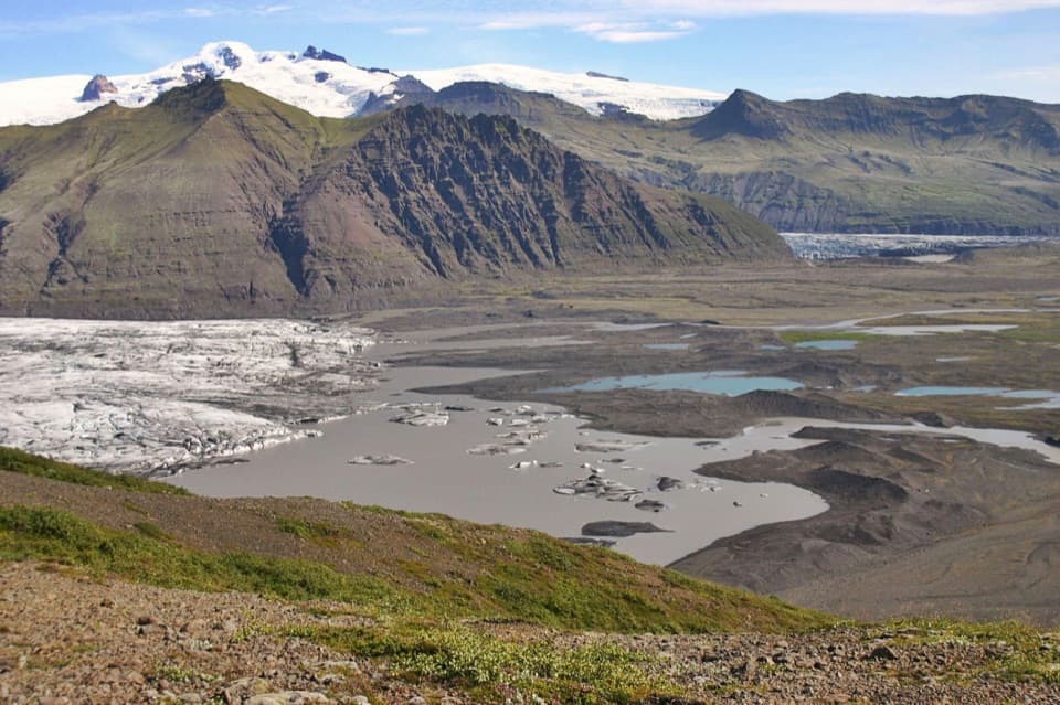
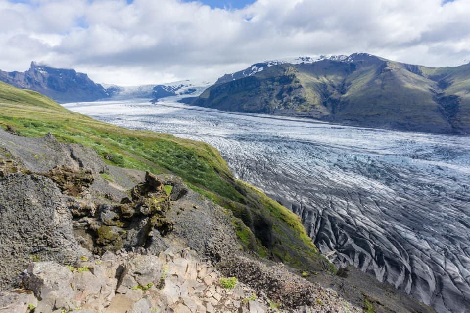
- A single overlook takes in glacier, braided plain and mountain ridges.
Heads up
- The panorama depends on clear visibility and follows an uphill climb.
Map
Where it is

The highest, rockiest slopes around here are a summer buffet for grizzly bears.
Vatnajökull Tour Guide
Your drive to Sjónarsker Viewpoint, narrated.
Parkwolf is a GPS audio tour guide for Vatnajökull National Park. As you drive, it chimes in with what’s ahead: hidden gems, upcoming stops, history, geology, and wildlife, right through your car’s speakers.
Recorded for this place
Skaftafell: Waterfall or Glacier Walk“You're nearing Skaftafell, the starting point for walks to Svartifoss and the glacier. Start at the visitor centre if you haven't chosen a route.”
Plays as you drive up to Sjónarsker Viewpoint in the Parkwolf Vatnajökull Tour Guide.
More stories near here in the app
- The Woods Iceland Lost
- Skeiðará Bridge Monument: The 1996 Flood
- Svínafellsjökull Viewpoint
- The Last Gap in the Ring Road
- 298 audio storiesacross Vatnajökull’s roads, triggered by GPS as you drive
- Wildlife heatmapsfor Grey Seal, Harbor Seal, Caribou, and 13 more
- Works offlinemaps, 92 trails, 75 places, and audio download before you lose signal
- CarPlay readysimple controls built for the drive
“Fantastic app with many points of information… It’s great to just turn on while you’re driving and it gives you an audio tour of the national Park. We love it!!!!”


Guide
More about Sjónarsker Viewpoint
A viewpoint on the full circuitSjónarsker is a high panoramic viewpoint on Skaftafell’s Svartifoss–Sjónarsker–Sel circuit.
Sjónarsker is a high panoramic viewpoint on Skaftafell’s Svartifoss–Sjónarsker–Sel circuit. The circular route from Skaftafellsstofa is 5.8 km, takes about two hours and gains about 250 m. Choose it for the longer hike and the broad mountain views, rather than a roadside stop. The panorama opens in every direction when visibility is good; low cloud can hide much of the payoff.
The uphill walkThe signed route starts by Skaftafellsstofa; its first 250 m passes through the campground…
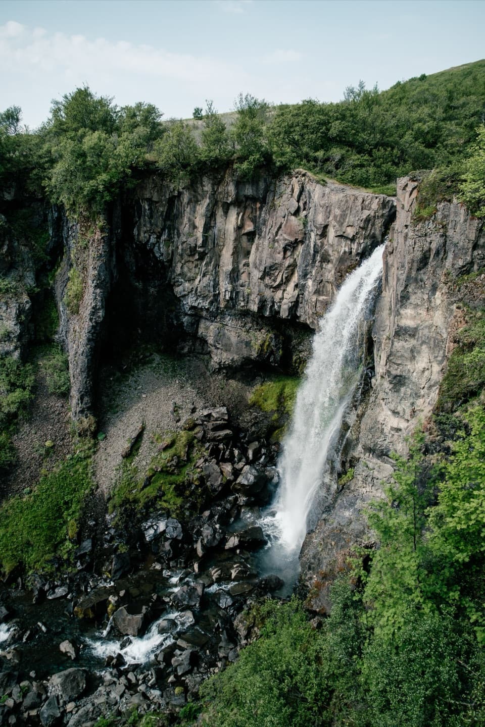
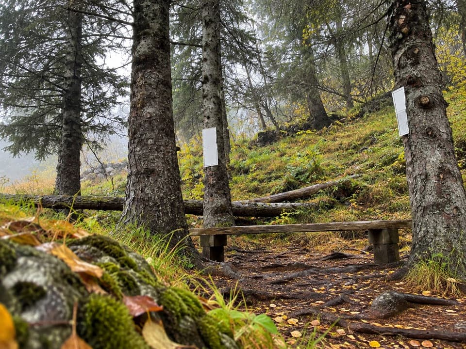
The signed route starts by Skaftafellsstofa; its first 250 m passes through the campground before climbing. Most of the path is compacted soil or matting, with wooden platforms and steps and some stone steps. Expect a climb, a descent into the ravine, a footbridge and another stair climb around Svartifoss. Wet summer surfaces can be slippery, and in winter the trail may be snowy or icy; the park cautions that the climb can challenge people with weak legs or poor health.
A wide view across the valleyFrom the overlook, Skeiðarárjökull spreads across the view beyond the broad Skeiðarársandur…
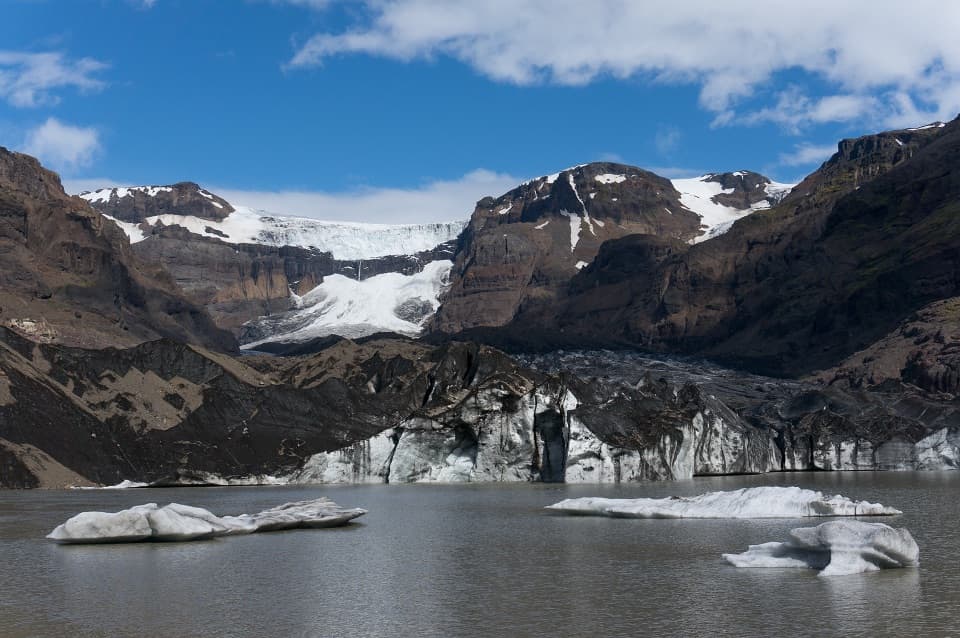
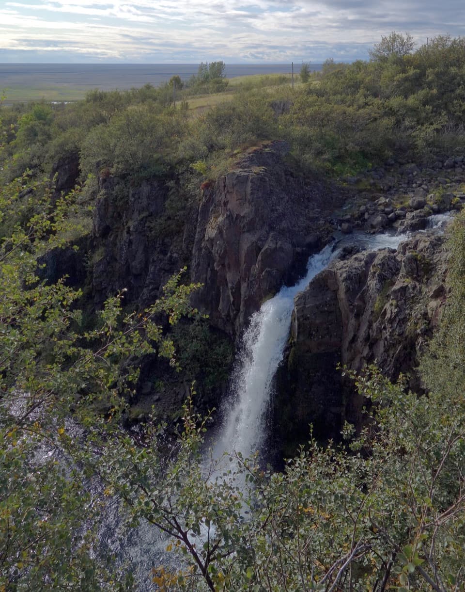
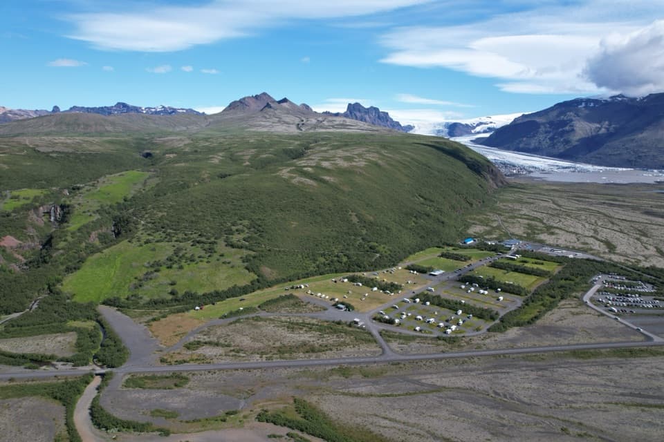
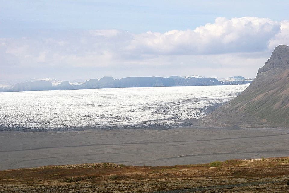
From the overlook, Skeiðarárjökull spreads across the view beyond the broad Skeiðarársandur outwash plain, where glacial meltwater splits into pale braided channels. Nearby mountain ridges frame the valley. For a phone photo, keep some of the dark ridge and braided plain in the frame; the glacier alone gives less sense of the valley’s scale.
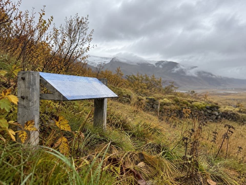
A dial for naming the mountainsAt about 310 m above sea level, a view-dial labels nearby mountains and their elevations. Jón J.
At about 310 m above sea level, a view-dial labels nearby mountains and their elevations. Jón J. Víðis designed it, and Iceland’s Department of Education installed it in 1973. Use the labels to match the ridgelines to their names instead of leaving with an anonymous panorama.
Wildlife
Wildlife in Vatnajökull
 23 sightingsGrey SealMost seen around 5 AMSighting map
 260 sightingsHarbor SealMost seen around 11 AMSighting map
 184 sightingsCaribouMost seen around 7 PMSighting map
 62 sightingsArctic FoxMost seen around 8 PMSighting map
 169 sightingsWhooper SwanMost seen around 5 PMSighting map
 68 sightingsAtlantic PuffinMost seen around 7 PMSighting map
Sighting maps show where each species has been reported across Vatnajökull. Wildlife moves, so no sighting is guaranteed.