Parking
Start at the Eldgjá service-centre car park. No parking capacity or fee information was found. The F208 approach is four-wheel-drive only and crosses Strangakvísl without a bridge.
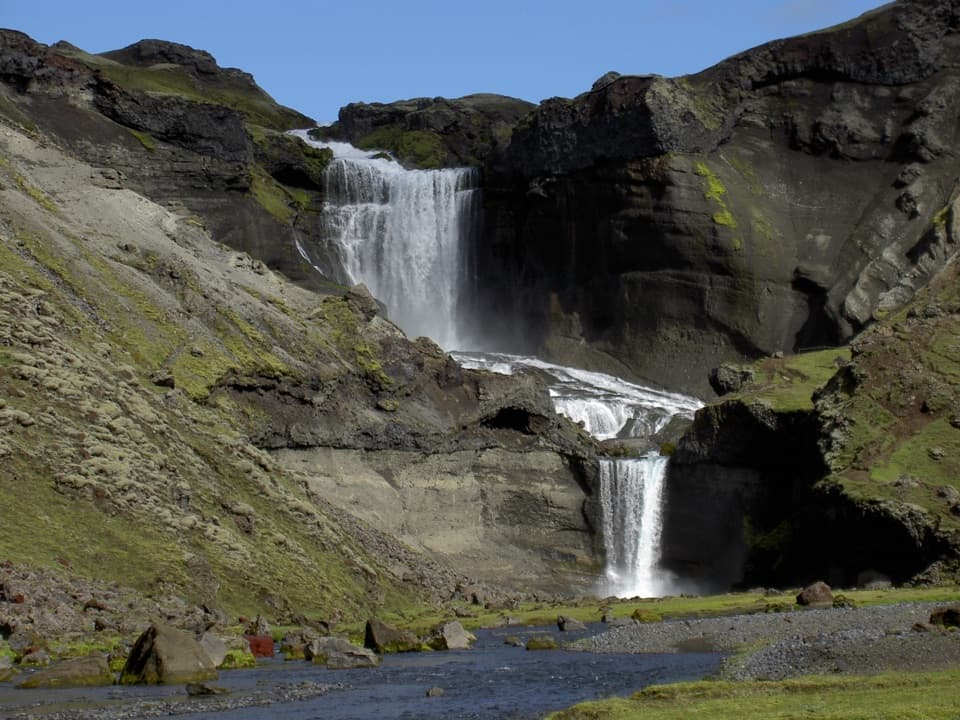
Vatnajökull National Park
A short walk beneath Iceland’s vast fissure to Ófærufoss.
Photo: Wolfgang Barth, CC BY 2.5, via Wikimedia Commons
Overview
Map & elevation
Plan your hike

The highest, rockiest slopes around here are a summer buffet for grizzly bears.
Vatnajökull Tour Guide
Parkwolf is a GPS audio tour guide for Vatnajökull National Park. As you drive, it chimes in with what’s ahead: hidden gems, upcoming stops, history, geology, and wildlife, right through your car’s speakers.
Recorded for this trailhead
Eldgjá and Ófærufoss“You're approaching the access for Eldgjá and Ófærufoss, a two-tier waterfall inside a huge volcanic fissure.”
Plays as you drive up to this trailhead in the Parkwolf Vatnajökull Tour Guide.
More stories near here in the app
“Fantastic app with many points of information… It’s great to just turn on while you’re driving and it gives you an audio tour of the national Park. We love it!!!!”


Trail guide
E1 is an out-and-back from the Eldgjá service-centre car park to the viewing platform at Ófærufoss. Plan on about 2.5 km round trip and 1–1.5 hours. The connected path from the car park to the falls measures about 1.1 km one way. Published distance wording conflicts: one current description lists 2.5 km without a convention, while another says 2.5 km each way. This guide uses the shorter floor route and treats the figure as approximate.
Go for the canyon as much as the falls. The route takes you down from the car park to the river floor, where Eldgjá’s walls make the walk feel much bigger than its mileage. You’ll climb back out on the return.
The path follows the Nyrðri Ófæra toward the falls. Just before the viewing platform, a bend gives you the clearest look at both cascades together. Take the short spur to the platform for a close view of the upper drop; it can be easy to miss, and the water may throw spray across the viewpoint.
There’s an optional return on the eastern rim. It adds a little distance and about 150 m of climbing, with higher views over the gorge. That’s a different, more demanding version; the route mapped here stays on the canyon floor.
Eldgjá opened during the eruption of 939. The park describes this main section of the fissure as about 8 km long, 600 m wide, and up to 150 m deep. The Nyrðri Ófæra runs along the canyon floor before dropping as Ófærufoss and continuing through a row of craters.
A natural stone arch once crossed the lower cascade, but it collapsed during the spring thaw in 1993. The falls are still a striking two-tier drop; just don’t expect to see the arch.
Start at the Eldgjá service-centre car park, where flush toilets are available. No food or drinking-water service was found at the trailhead or on the route. The highland approach is the real commitment: the F208 is four-wheel-drive only and includes an unbridged crossing of Strangakvísl. Roads in this area are seasonal, usually opening around late June or early July depending on conditions, so check the current road status before leaving.
Wildlife
 23 sightingsGrey SealMost seen around 5 AMSighting map
 260 sightingsHarbor SealMost seen around 11 AMSighting map
 184 sightingsCaribouMost seen around 7 PMSighting map
 62 sightingsArctic FoxMost seen around 8 PMSighting map
 169 sightingsWhooper SwanMost seen around 5 PMSighting map
 68 sightingsAtlantic PuffinMost seen around 7 PMSighting map
Sighting maps show where each species has been reported across Vatnajökull. Wildlife moves, so no sighting is guaranteed.
Keep exploring
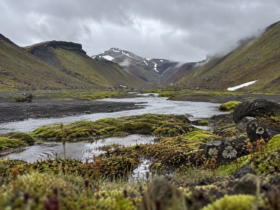 ChallengingStrangakvísl – Eldgjá4 km · 2 hr · 1.1 km awayCross the bridge, then follow Nyrðri Ófæra into Eldgjá
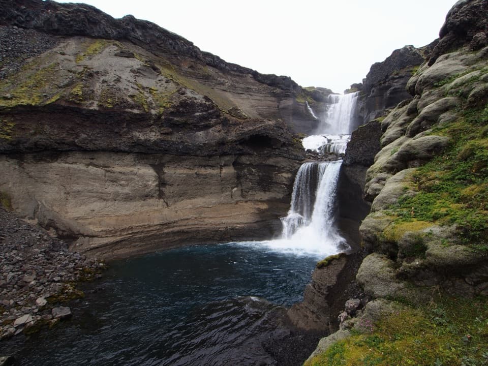 ChallengingGjátindur Summit Trail14 km · 7 hr · 1.2 km awayA summit hike above Ófærufoss and Eldgjá's vast volcanic fissure
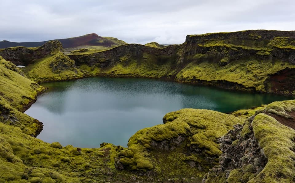 EasyTjarnargígur Trail1 km · 30 min · 17.6 km awayA short out-and-back to Tjarnargígur’s crater lake.
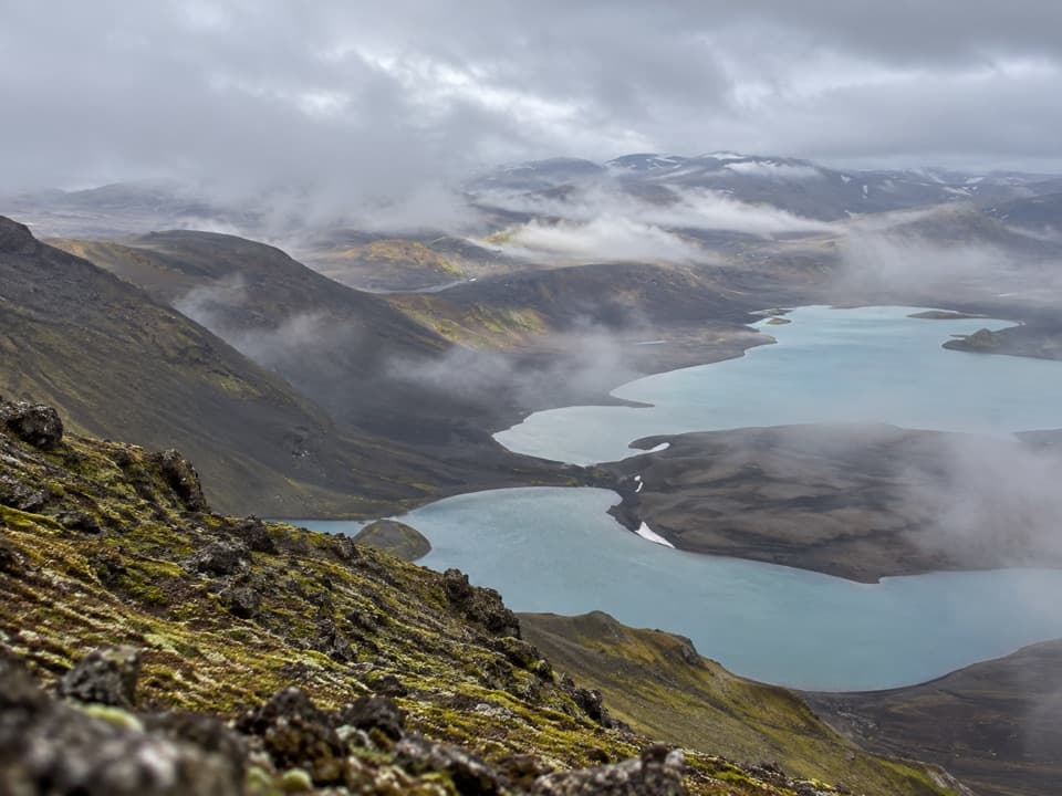 ChallengingSveinstindur Summit Trail (E4)3.5 km · 3.5 hr · 18.3 km awayA steep climb earns a sweeping view of Langisjór and the highlands.
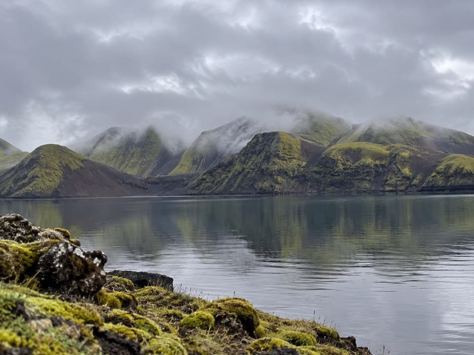 ModerateFagralón8 km · 3 hr · 19.4 km awayA quiet, unmarked walk to a highland lake beneath volcanic ridges.
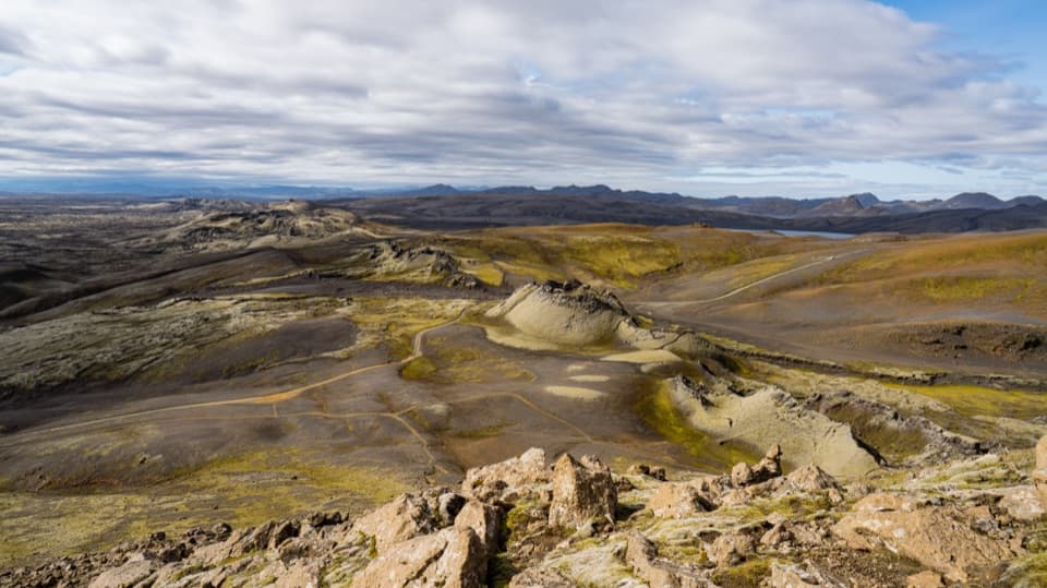 ChallengingLaki Summit Trail (L1)3 km · 1.5 hr · 21.7 km awayA short climb above Lakagígar’s crater chain.Sight · 1 km awayÓfærufossTwo waterfall tiers anchor Eldgjá’s 150 m-deep volcanic canyon.
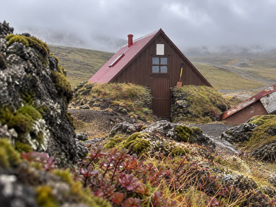 Lodging · 5.4 km awaySkælingar Hut and CampgroundA bare-bones hut and campsite on a remote highland route.
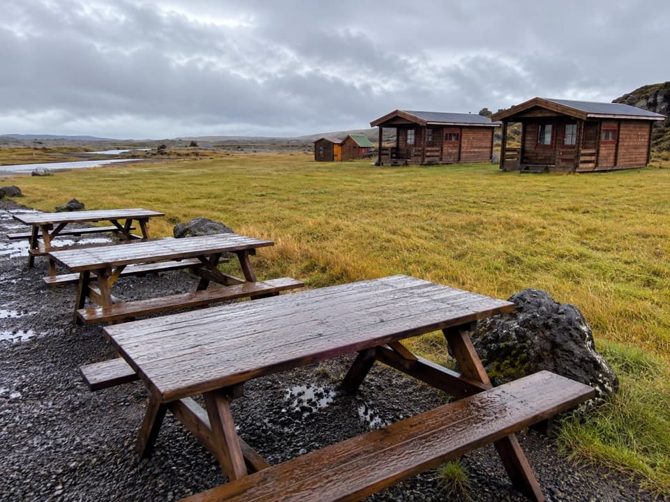 Lodging · 5.5 km awayHólaskjól Highland CenterA practical base for Eldgjá, with a waterfall five minutes away.
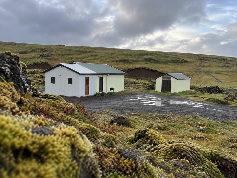 Campground · 14.4 km awayBlágil Hut and CampgroundAn overnight base for the long, crater-filled Laki drive.
Parkwolf’s Vatnajökull ranking

The audio tour guide for the drive, plus offline maps, trails, and wildlife heatmaps for when the signal drops.




