Parking
Start at Tjarnargígur car park on F207. Toilets and picnic tables are at the stop.
Vatnajökull National Park
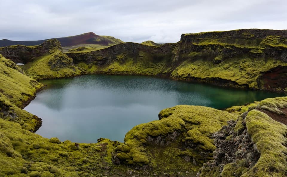
A short out-and-back to Tjarnargígur’s crater lake.
Overview
Map & elevation
Plan your hike

The highest, rockiest slopes around here are a summer buffet for grizzly bears.
Vatnajökull Tour Guide
Parkwolf is a GPS audio tour guide for Vatnajökull National Park. As you drive, it chimes in with what’s ahead: hidden gems, upcoming stops, history, geology, and wildlife, right through your car’s speakers.
Recorded for this trailhead
Tjarnargígur: Crater Lake and Lava Channel“You're coming up on Tjarnargígur, where a lake fills the bottom of a volcanic crater. For a short walk among the Lakagígar craters, this is an easy choice: allow about half an hour from the car park.”
Plays as you drive up to this trailhead in the Parkwolf Vatnajökull Tour Guide.
More stories near here in the app
“Fantastic app with many points of information… It’s great to just turn on while you’re driving and it gives you an audio tour of the national Park. We love it!!!!”


Trail guide
Tjarnargígur Trail is an easy out-and-back from the car park to the rim of a crater with a lake at its bottom. The mapped route is about 500 m each way, or roughly 1 km round trip, and takes about 30 minutes. It’s a quick stop for the crater view; the longer L4 is a separate outing.
Start at Tjarnargígur car park and follow the unpaved path to the crater edge, then return the same way. A short spur at the end leads to the viewing point. The longer route continues along the lava channel and through Súgandi crater, so turn back at the rim for the short walk.
Tjarnargígur is the only crater in this area with a lake at the bottom. From the rim, the water sits below dark volcanic walls. For a photo, include part of the crater wall around the pond so the scale and shape of the crater stay in the frame.
Lakagígar formed during the 1783–1784 Skaftá Fires and includes more than 130 craters. Tjarnargígur stands out for that lake on its floor; this short walk is a good way to see the crater without taking on the longer lava-channel route.
The trail starts at Tjarnargígur car park on F207. Reaching Lakagígar means driving F206 and F207, which require four-wheel drive and have four unbridged river crossings that can swell in rain. Check the park’s road advice before heading in. Toilets and picnic tables are at the car park.
Wildlife
 23 sightingsGrey SealMost seen around 5 AMSighting map
 260 sightingsHarbor SealMost seen around 11 AMSighting map
 184 sightingsCaribouMost seen around 7 PMSighting map
 62 sightingsArctic FoxMost seen around 8 PMSighting map
 169 sightingsWhooper SwanMost seen around 5 PMSighting map
 68 sightingsAtlantic PuffinMost seen around 7 PMSighting map
Sighting maps show where each species has been reported across Vatnajökull. Wildlife moves, so no sighting is guaranteed.
Keep exploring
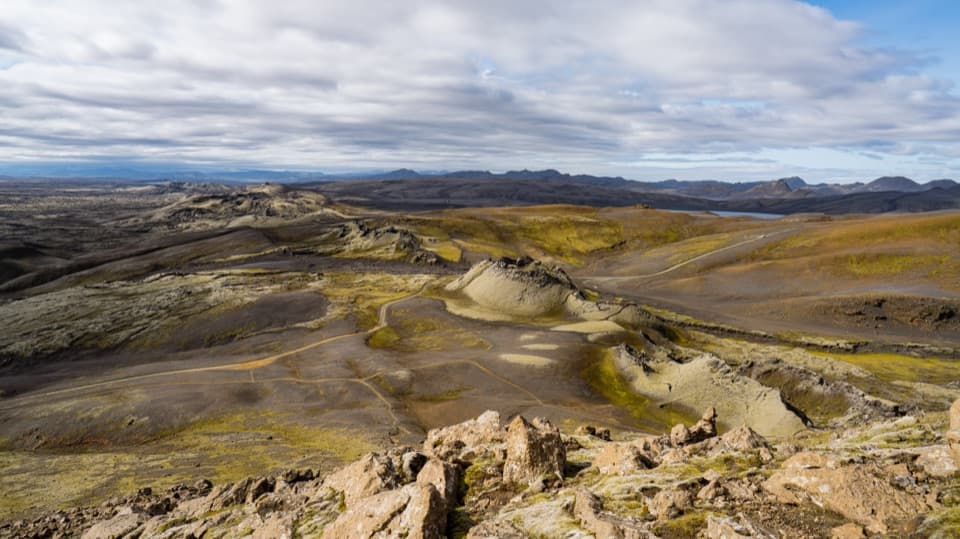 ChallengingLaki Summit Trail (L1)3 km · 1.5 hr · 4.1 km awayA short climb above Lakagígar’s crater chain.
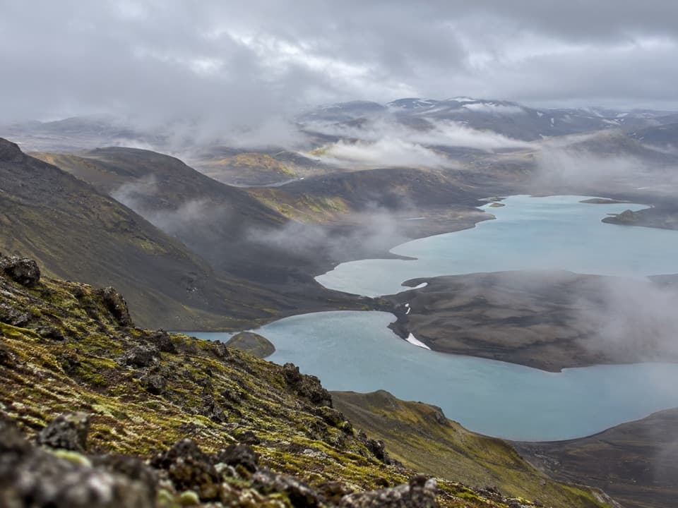 ChallengingSveinstindur Summit Trail (E4)3.5 km · 3.5 hr · 9.4 km awayA steep climb earns a sweeping view of Langisjór and the highlands.
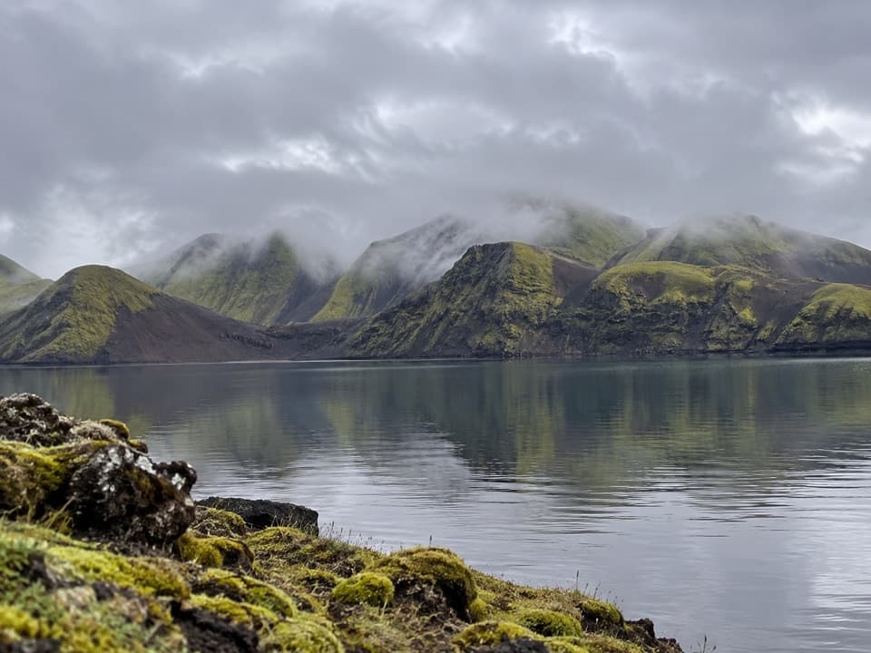 ModerateFagralón8 km · 3 hr · 9.7 km awayA quiet, unmarked walk to a highland lake beneath volcanic ridges.
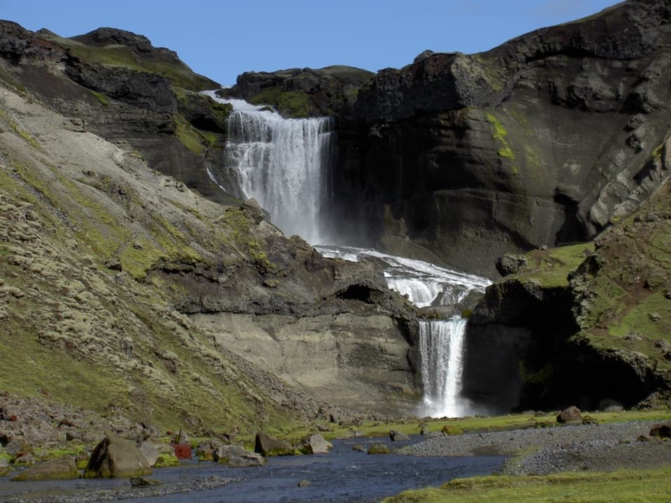 ModerateEldgjá–Ófærufoss Trail (E1)2.5 km · 1.3 hr · 17.6 km awayA short walk beneath Iceland’s vast fissure to Ófærufoss.
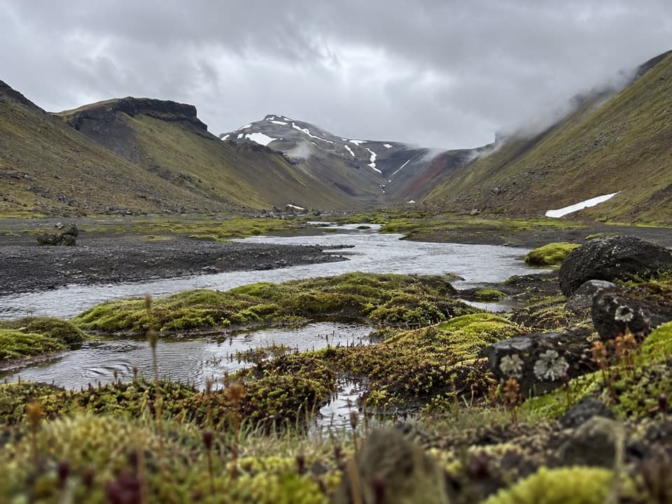 ChallengingStrangakvísl – Eldgjá4 km · 2 hr · 18.8 km awayCross the bridge, then follow Nyrðri Ófæra into Eldgjá
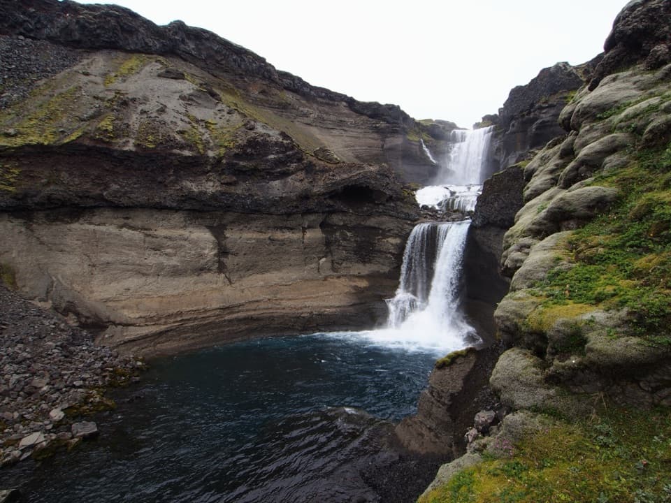 ChallengingGjátindur Summit Trail14 km · 7 hr · 18.8 km awayA summit hike above Ófærufoss and Eldgjá's vast volcanic fissure
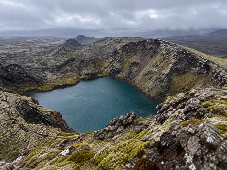 Sight · 0.1 km awayTjarnargígurA short walk reaches a crater lake and a curving lava channel.
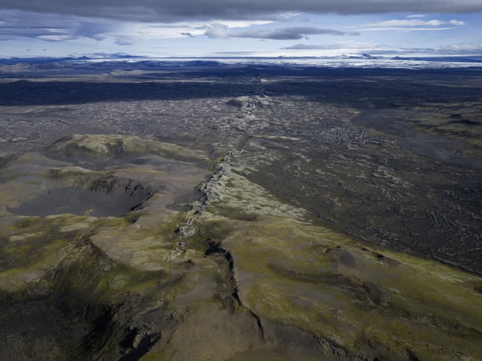 Sight · 4.9 km awayLaki Summit ViewpointWalk above a 27-kilometre line of craters.
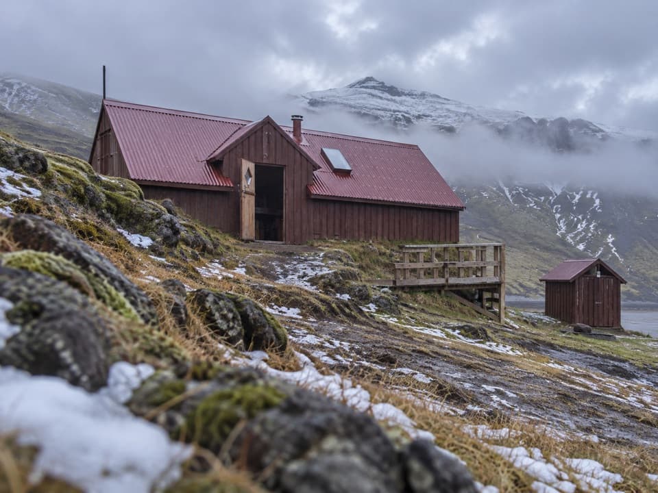 Lodging · 7 km awaySveinstindur HutA remote overnight hut beside the Skaftá below Sveinstindur.
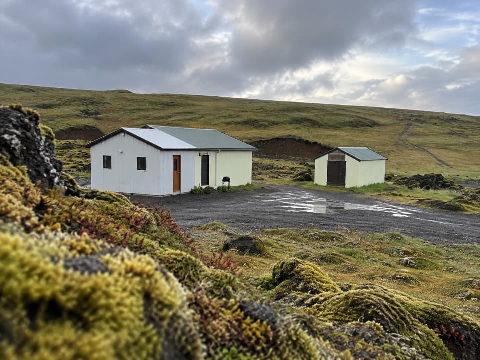 Campground · 8.3 km awayBlágil Hut and CampgroundAn overnight base for the long, crater-filled Laki drive.
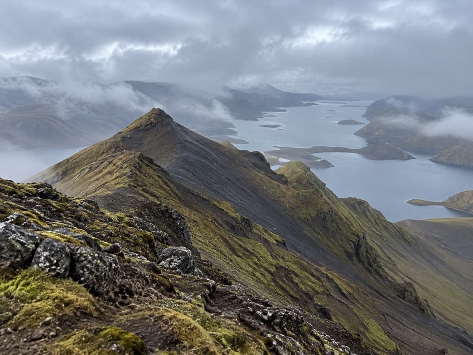 Sight · 8.8 km awaySveinstindurA steep climb opens onto remote Langisjór and the southern Highlands.
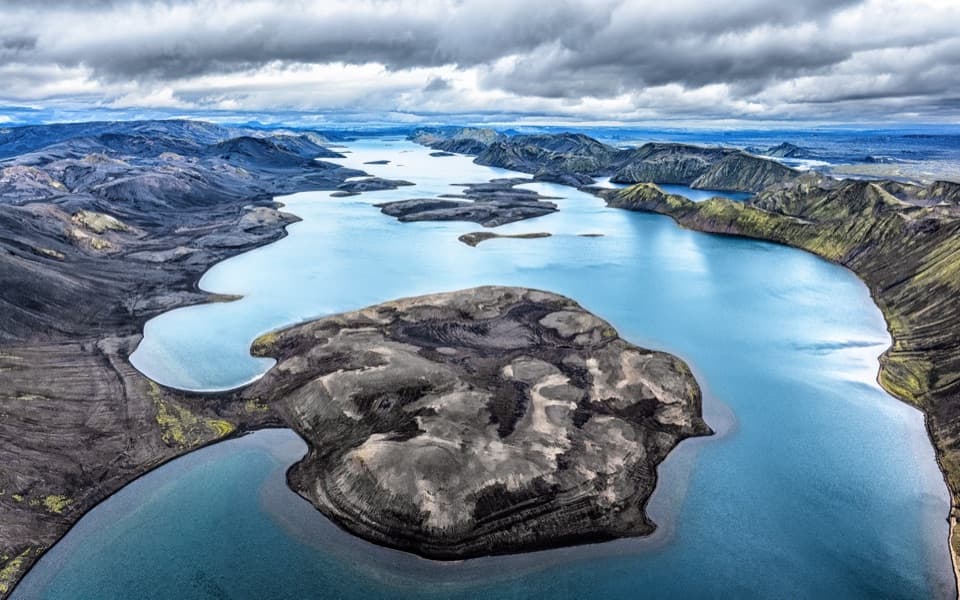 Sight · 10 km awayLangisjórBlue water, volcanic ridges, and a demanding highland drive.
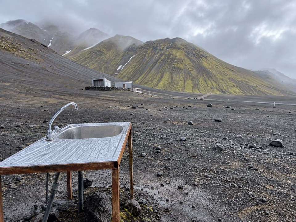 Campground · 10.3 km awayLangisjór CampgroundA simple base beside one of Iceland’s clearest mountain lakes.
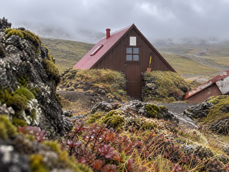 Lodging · 12.2 km awaySkælingar Hut and CampgroundA bare-bones hut and campsite on a remote highland route.
Parkwolf’s Vatnajökull ranking

The audio tour guide for the drive, plus offline maps, trails, and wildlife heatmaps for when the signal drops.




