Parking
Start at the Laki car park beside the ranger station. Picnic tables and toilets are here; the approach roads require four-wheel drive.
Vatnajökull National Park
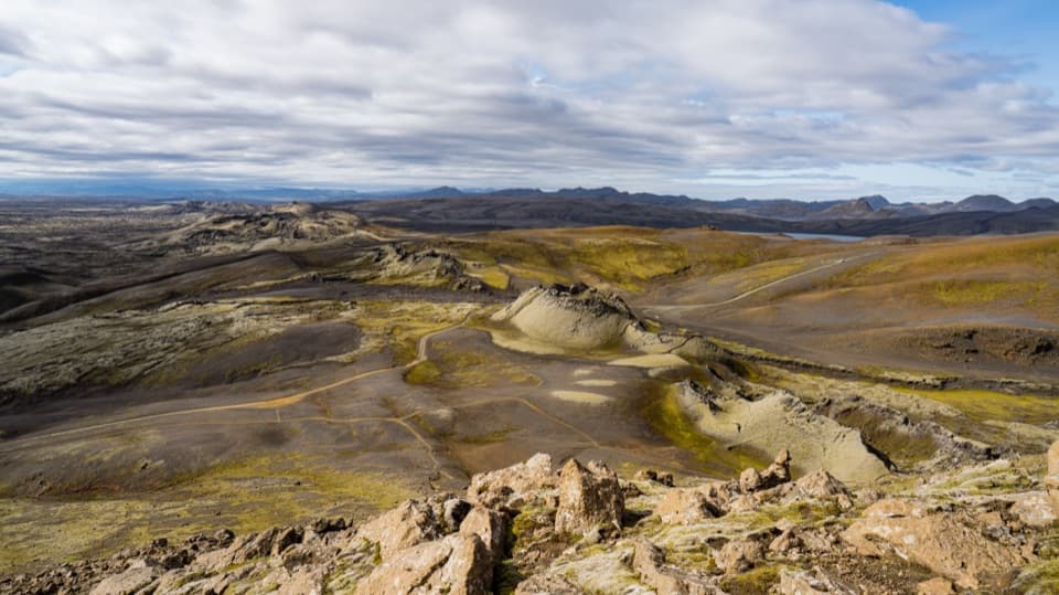
A short climb above Lakagígar’s crater chain.
Overview
Laki Summit Trail (L1) is a short, steep circuit from the car park beside the mountain, climbing to a broad summit above the Lakagígar crater chain. The mapped loop is about 1.85 miles (3 km) with roughly 230 m of total climbing; allow 1 to 1½ hours with time at the top. It is a good choice if you want a high point and a big volcanic view without committing to a full-day walk. Distance markings disagree: one gives 2 km one way, while another describes a 4 km loop. The line mapped here follows the shorter circuit, so check local markers or ask at the ranger station if you need to know whether a longer variation is signed. The loose, steep ground makes this more effort than the distance suggests.
 Parkwolf’s verdictIs this the hill for you?
Map & elevation
Plan your hike

The highest, rockiest slopes around here are a summer buffet for grizzly bears.
Vatnajökull Tour Guide
Parkwolf is a GPS audio tour guide for Vatnajökull National Park. As you drive, it chimes in with what’s ahead: hidden gems, upcoming stops, history, geology, and wildlife, right through your car’s speakers.
Recorded for this trailhead
Laki Summit Viewpoint“You're nearing the starting point for Laki's summit walk, where a steep climb opens a view along the Lakagígar crater chain. Allow an hour to an hour and a half for the circuit, with loose rock on the climb and descent.”
Plays as you drive up to this trailhead in the Parkwolf Vatnajökull Tour Guide.
More stories near here in the app
“Fantastic app with many points of information… It’s great to just turn on while you’re driving and it gives you an audio tour of the national Park. We love it!!!!”


Trail guide
From the parking area, the path starts gently and swings around the lower slope before climbing Laki’s east side. Views open toward the crater field as the trail gains height. Higher up, the grade steepens and the tread becomes loose, crumbling rock; steady footing matters more than speed. A short spur reaches the summit-side ridge, where the ground broadens out. The return drops the rougher west flank and meets the F207 access road before following it back to the car park. The climb and descent feel different, so save some energy for the downhill rather than treating the summit as the end of the work. The route is walking rather than a technical scramble, but it is not a smooth stroll.
The main lookout faces north along the crater chain, with Vatnajökull on the horizon when the air is clear. The wide top gives you room to turn around and take in the scale of the highland landscape. A short southern detour looks down over another line of craters, a closer view than the broad panorama. For a photo, keep a piece of the rocky summit in the foreground and frame the crater row running away toward the glacier; turn south for the tighter crater view.
Lakagígar is a roughly 29 km-long row with more than 130 craters, opened during the Skaftáreldar eruption of 1783–84. About 12 cubic kilometres of lava poured from the fissure system, and the poisonous haze and famine that followed reached far beyond Iceland. The disaster killed around one in five Icelanders and about three-quarters of the country’s livestock. From Laki, the repeated cones make the scale easier to read: this was not one volcanic vent but a long chain of openings across the landscape.
Thick woolly moss and lichens grow across the lava and ash. The cover is fragile, so stay on the existing trail instead of stepping out to get closer to a crater or composing a wider photo. Dogs may come on leash. There is no need to cross the moss to see the best views; the summit and signed lookout points already give you several angles.
The Laki car park is beside the ranger station, picnic tables and toilets. Bring food and drinking water; no service for either was confirmed at the trailhead. The approach uses F206 and F207, which require a four-wheel-drive vehicle and include four unbridged river crossings that can rise after rain. Road access is seasonal and weather-dependent, so check road and crossing conditions before setting out from Kirkjubæjarklaustur.
Wildlife
 23 sightingsGrey SealMost seen around 5 AMSighting map
 260 sightingsHarbor SealMost seen around 11 AMSighting map
 184 sightingsCaribouMost seen around 7 PMSighting map
 62 sightingsArctic FoxMost seen around 8 PMSighting map
 169 sightingsWhooper SwanMost seen around 5 PMSighting map
 68 sightingsAtlantic PuffinMost seen around 7 PMSighting map
Sighting maps show where each species has been reported across Vatnajökull. Wildlife moves, so no sighting is guaranteed.
Keep exploring
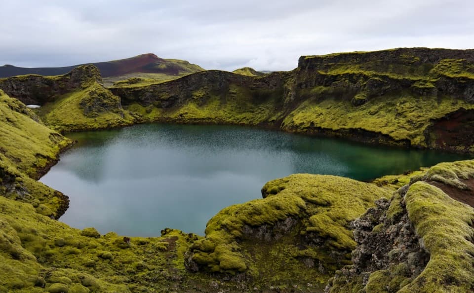 EasyTjarnargígur Trail1 km · 30 min · 4.1 km awayA short out-and-back to Tjarnargígur’s crater lake.
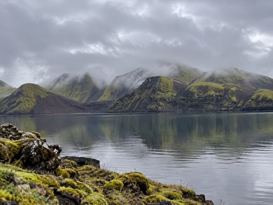 ModerateFagralón8 km · 3 hr · 10.6 km awayA quiet, unmarked walk to a highland lake beneath volcanic ridges.
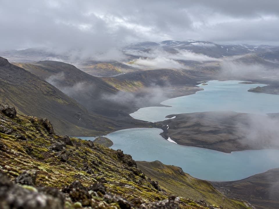 ChallengingSveinstindur Summit Trail (E4)3.5 km · 3.5 hr · 10.7 km awayA steep climb earns a sweeping view of Langisjór and the highlands.
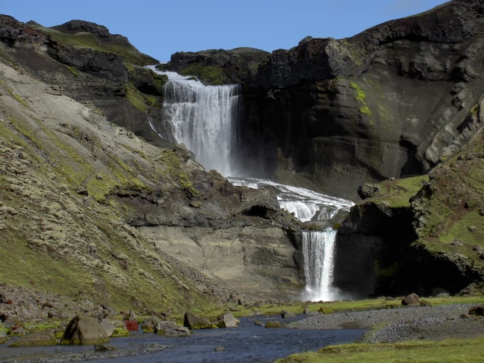 ModerateEldgjá–Ófærufoss Trail (E1)2.5 km · 1.3 hr · 21.7 km awayA short walk beneath Iceland’s vast fissure to Ófærufoss.
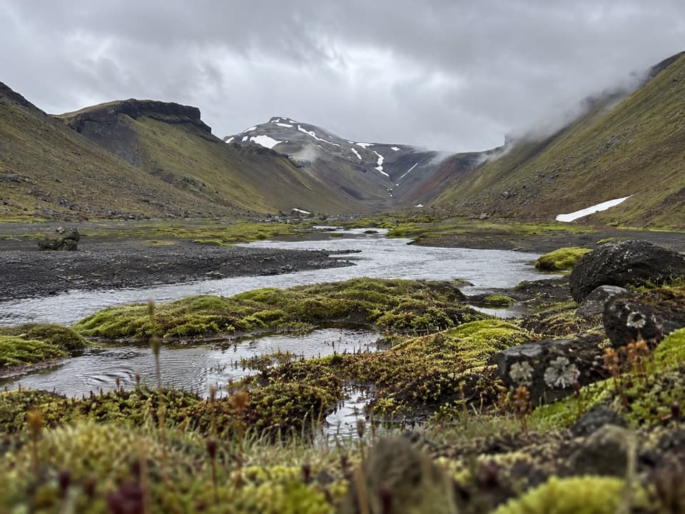 ChallengingStrangakvísl – Eldgjá4 km · 2 hr · 22.8 km awayCross the bridge, then follow Nyrðri Ófæra into Eldgjá
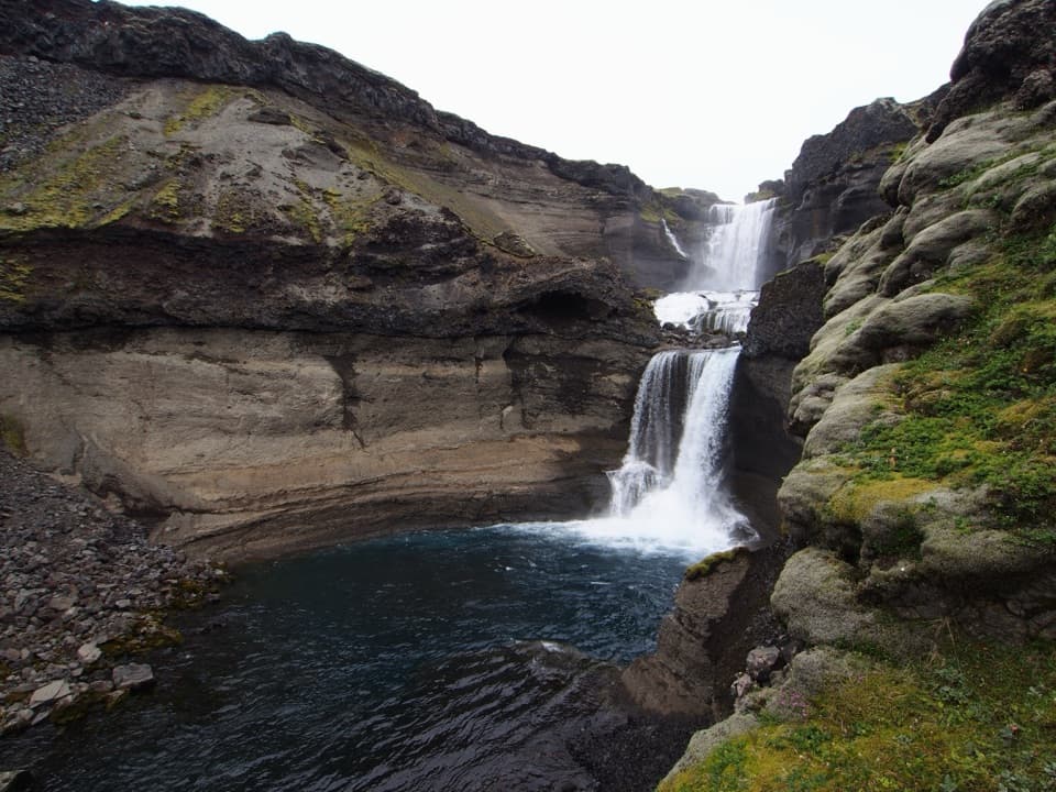 ChallengingGjátindur Summit Trail14 km · 7 hr · 22.8 km awayA summit hike above Ófærufoss and Eldgjá's vast volcanic fissure
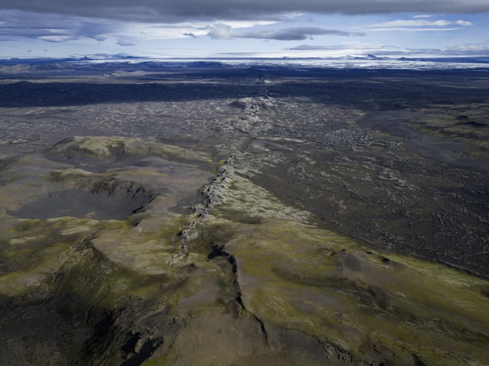 Sight · 0.9 km awayLaki Summit ViewpointWalk above a 27-kilometre line of craters.
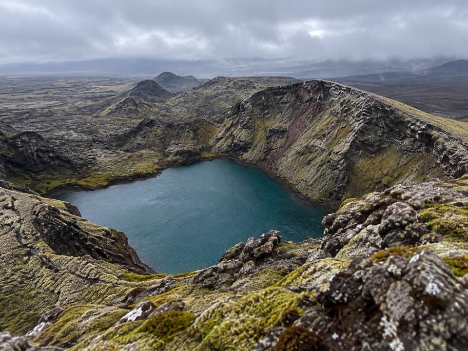 Sight · 4 km awayTjarnargígurA short walk reaches a crater lake and a curving lava channel.
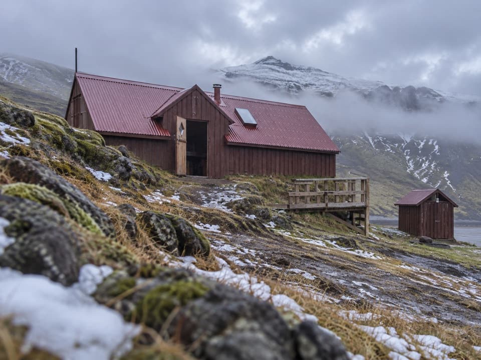 Lodging · 8.7 km awaySveinstindur HutA remote overnight hut beside the Skaftá below Sveinstindur.
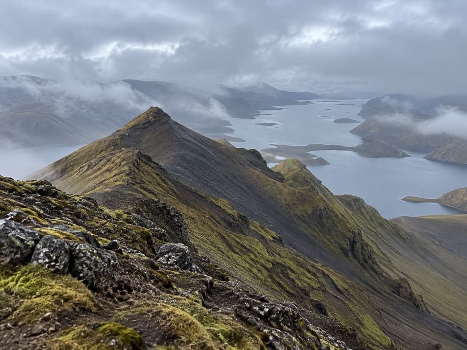 Sight · 9.7 km awaySveinstindurA steep climb opens onto remote Langisjór and the southern Highlands.
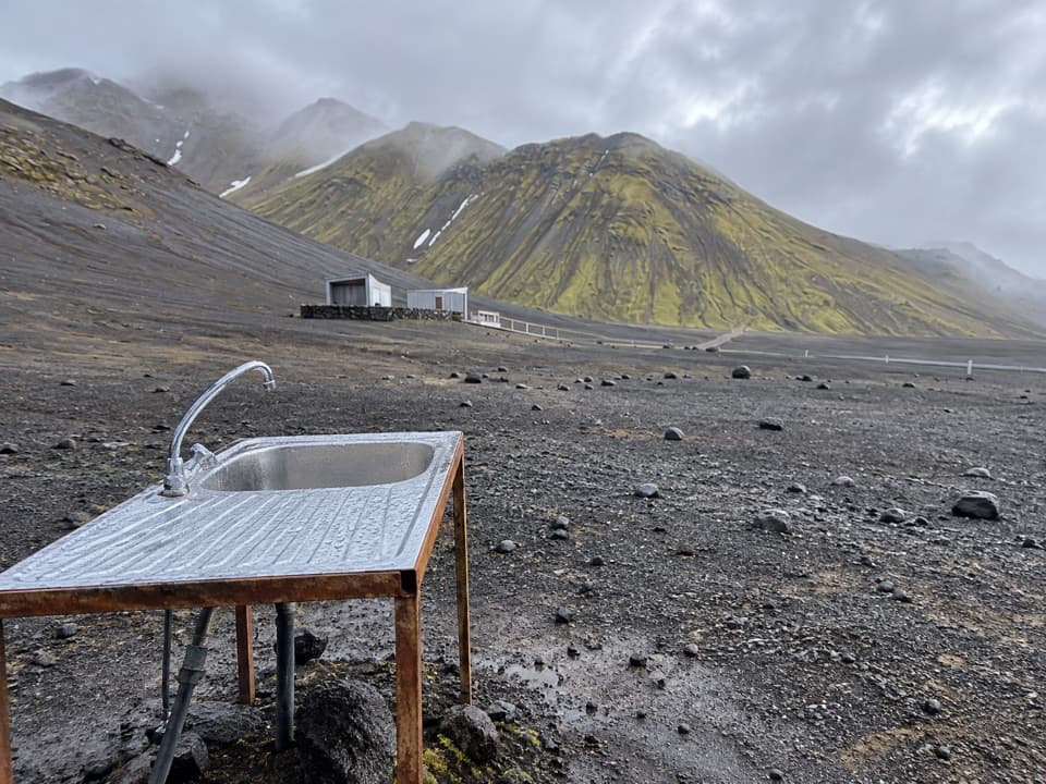 Campground · 10.9 km awayLangisjór CampgroundA simple base beside one of Iceland’s clearest mountain lakes.
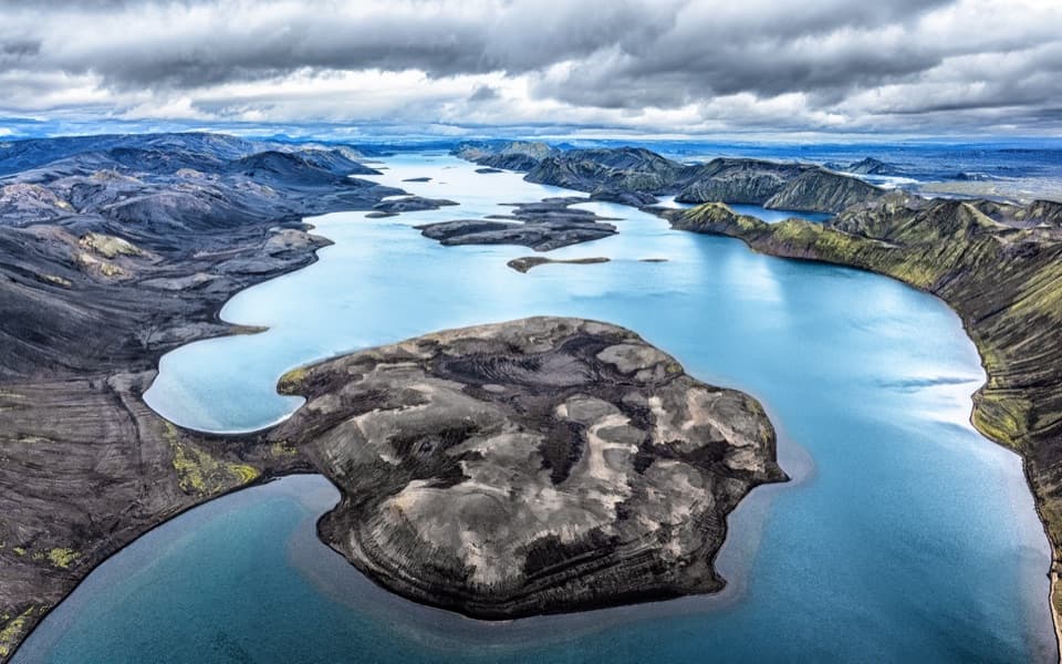 Sight · 11 km awayLangisjórBlue water, volcanic ridges, and a demanding highland drive.
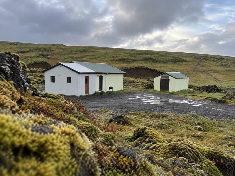 Campground · 11.3 km awayBlágil Hut and CampgroundAn overnight base for the long, crater-filled Laki drive.
Parkwolf’s Vatnajökull ranking
The audio tour guide for the drive, plus offline maps, trails, and wildlife heatmaps for when the signal drops.




